


Asset registers
Roads, greenery, street furniture and buildings. Every item has its own record with attributes and condition.
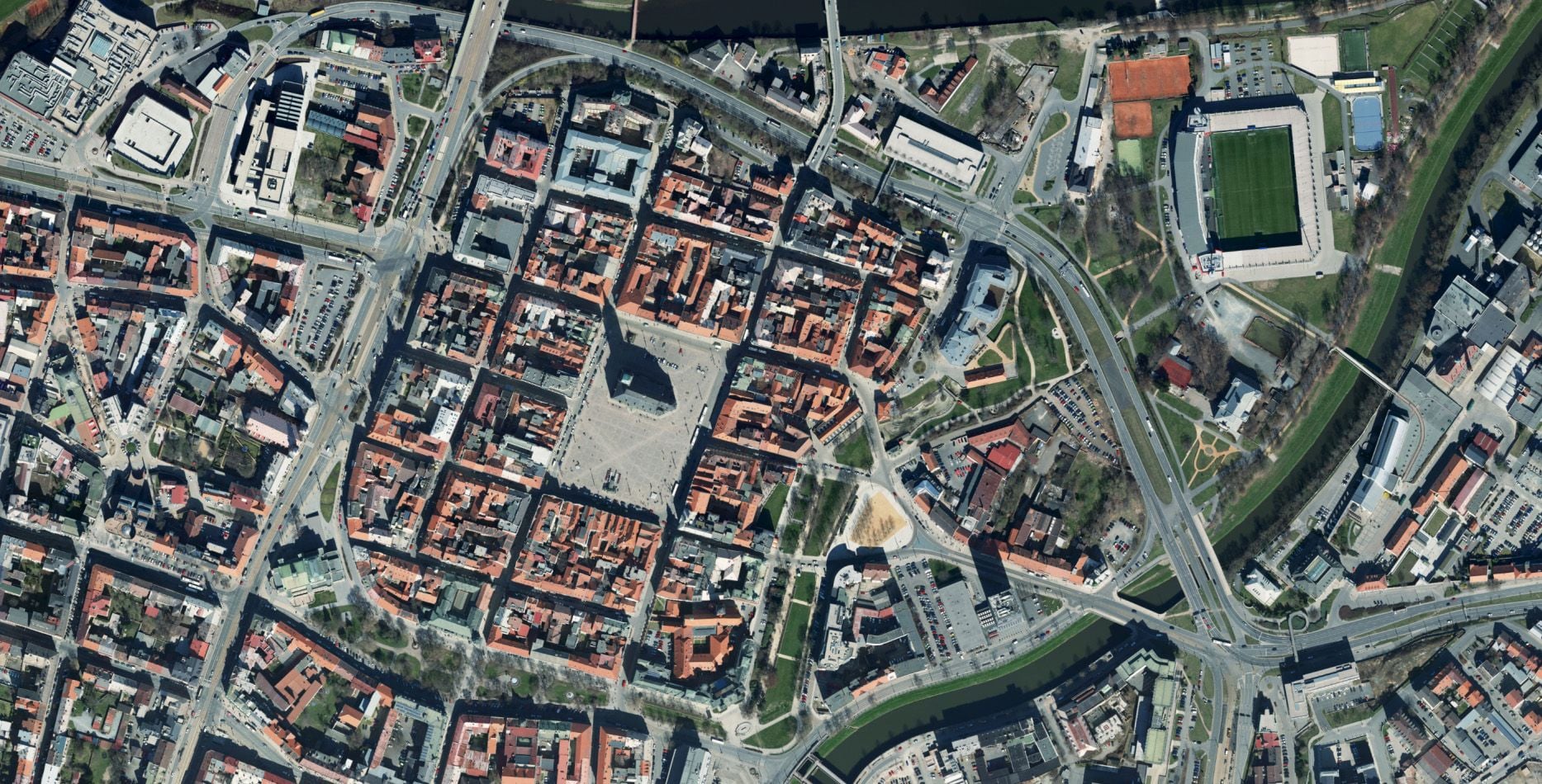
Fragmented data, asset records kept in spreadsheets, no overview of the utility networks? We will bring your municipality’s geospatial data together in one place and give you the tools to work with it.
300+
municipalities in our portfolio
1 200
km² mapped each year
50+
municipalities with extended powers using Spirit ÚAP
30 years
in business


Does this sound familiar?
Asset registers for buildings, utility networks, greenery and road signs – I want it all together in a GIS I can open on my phone. Instead we have three Excel files and a ring binder.
Paper asset registers, Excel files and shared drives across departments.
DTM, ÚAP, registers – every agenda with its own structure and deadlines.
Orthophotos five years old, cadastral survey plans and asset registers on paper.
There is no way to show residents what the outcome of an investment project in their street will look like.
Why Georeal
We survey the data in the field and we build the software you will work with. No handovers between subcontractors.
Aerial photography, scanners, surveyors in the field. We are equipped for all of it.
We build geoportals, mobile applications and extensions for the software you are used to working in.
We cover every service across the field of surveying.
Assets and records
Most municipalities know what they own – it is just kept in five places: in a spreadsheet, in a ring binder and in one person’s head. We bring it together over a map of the municipality, linked to the cadastre and available from the field.
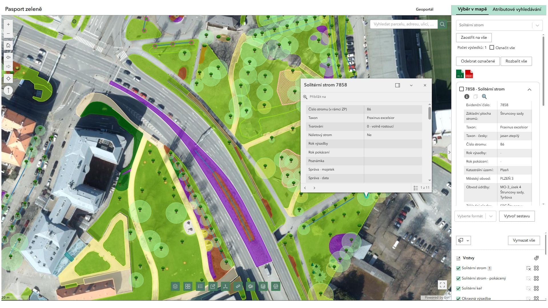
Roads, greenery, street furniture and buildings. Every item has its own record with attributes and condition.

An up-to-date cadastral extract directly over the map of the municipality – no retyping from the public cadastre viewer.

Mobile mapping drives through the streets and captures street furniture, road signs and surface condition; individual structures and buildings we survey in the classic way.
Statutory obligation
Around the Digital Technical Map a municipality has obligations that can be delegated. We can take over the whole technical and transport infrastructure agenda – from collecting the source data to adding completed structures.
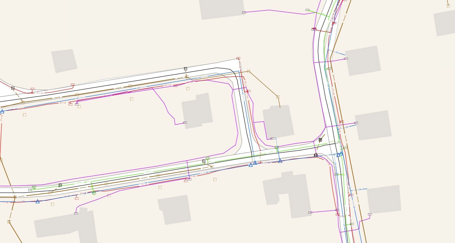

We collect and check the data on technical and transport infrastructure and prepare it for submission to the DTM.

Every new structure is a change in the technical map. We survey the as-built state and hand it over in the form that goes straight into the update.
Where municipal data ends up
Territorial development
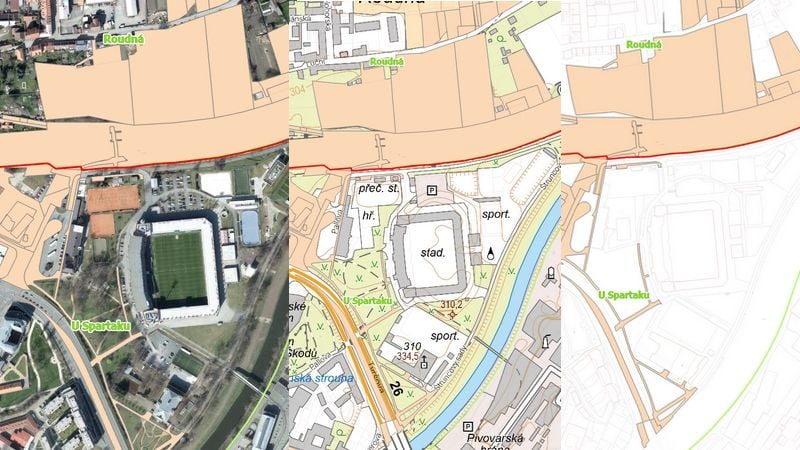
Decisions about a territory stand or fall on how old your source data is. We survey the whole cadastral area in a single flight – and on that same data we then build spatial analytical materials and design documentation.
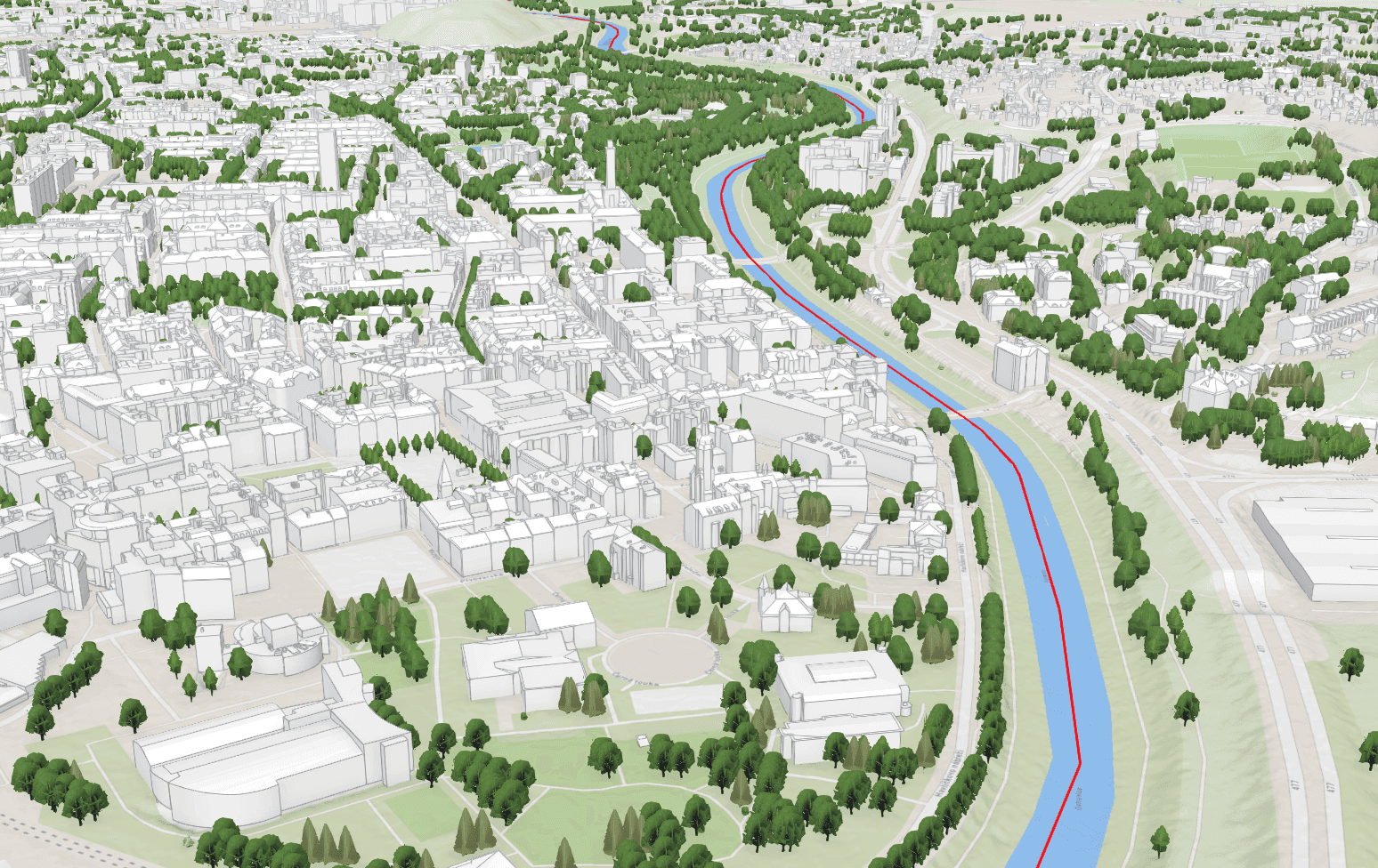

Orthophoto, 3D model and elevation data for the whole cadastral area from a single flight.

ÚAP phenomena in a single data structure, ready to be handed over to the region.

Roads, pavements, sewers and ponds – at every stage of the design documentation.
Where it is already running
The authority and the public
Data nobody can see helps nobody. A geoportal puts the municipality’s maps on the web – an official finds the base data without calling a surveyor, a resident checks a parcel boundary or the zoning plan themselves.


Oblique imagery from the flight in your browser – façade, roof and yard.
Geoportals we have delivered to towns
Surveying work
Individual jobs that come up when they are needed – selling a plot, building a fence, restoring a pond.

Dividing a parcel, surveying a new building, setting out a boundary before a fence goes up. We handle the plan and the registration in the cadastre for you.

Depths of reservoirs and channels, heat loss from buildings, terrain under vegetation.
How it works
Most municipal projects follow the same path. Every step has a usable output of its own – you do not have to order the whole chain at once.

An aircraft or a drone over the whole cadastral area, mobile mapping in the streets, a total station wherever centimetre accuracy is needed.
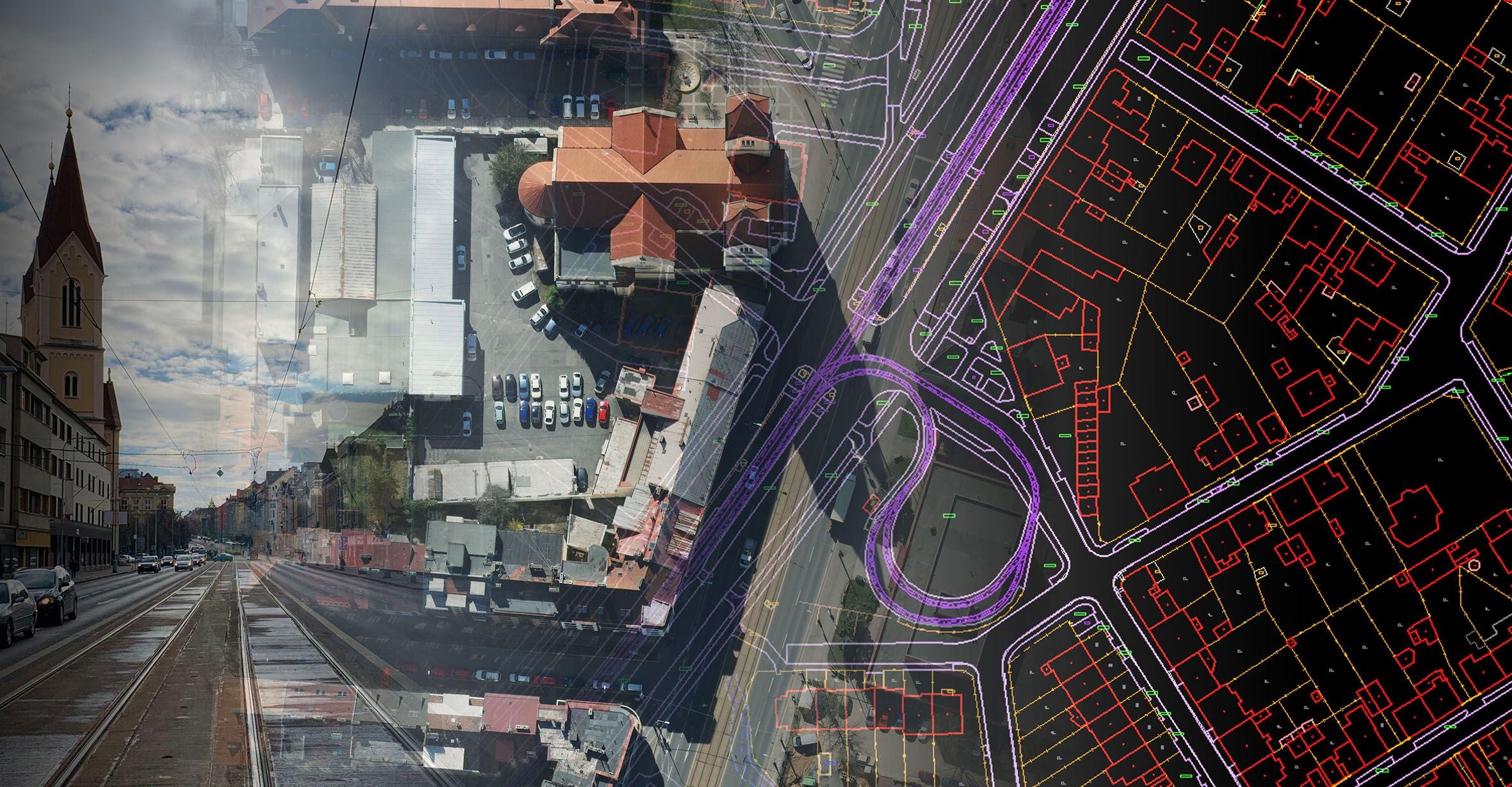
The imagery becomes an orthophoto, a 3D model and a vector drawing. This is where raw data turns into something you can make decisions on.
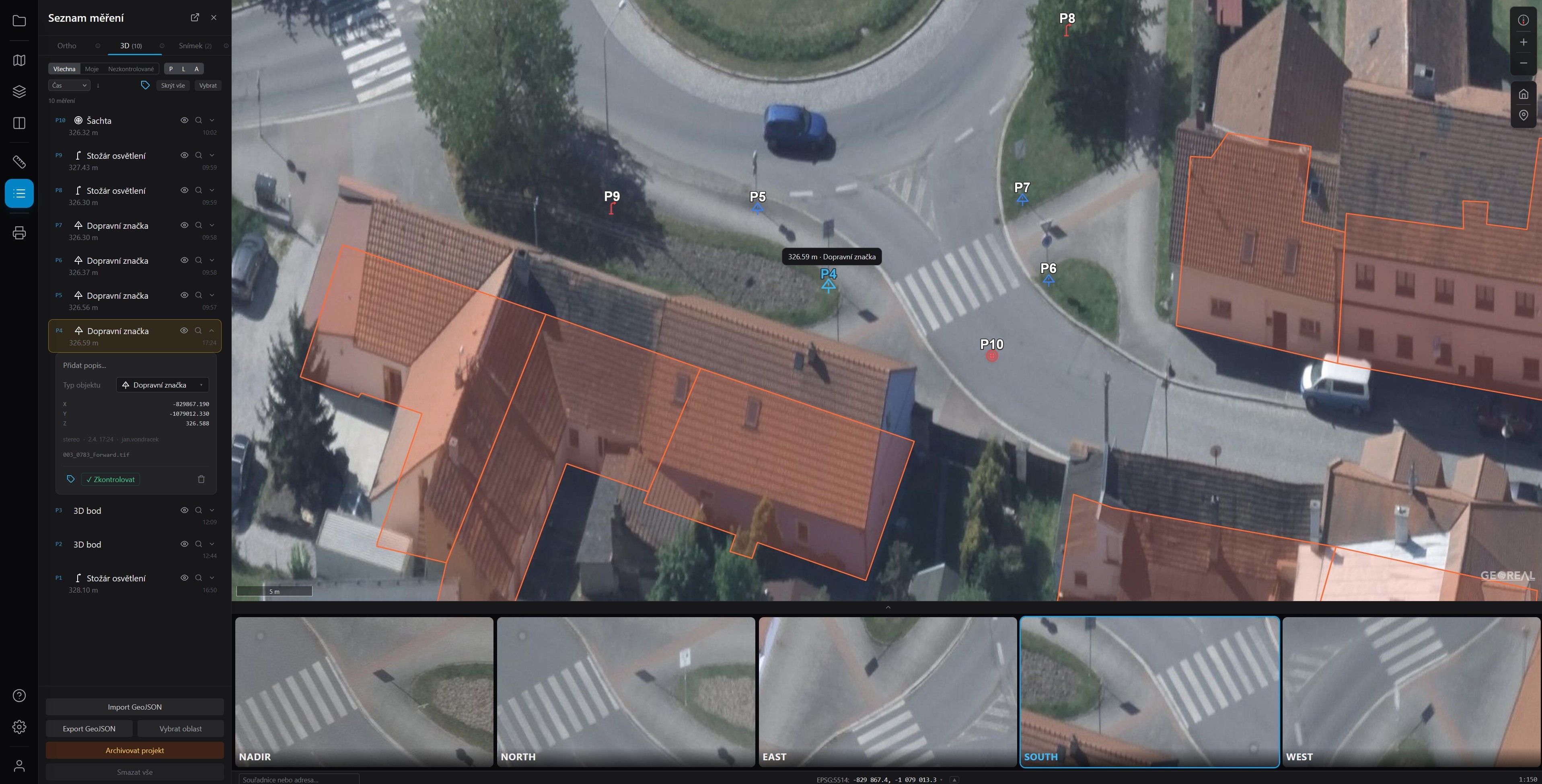
The outputs are published to the municipal geoportal and into the modules the authority uses – or as oblique imagery in which an official can inspect a particular house.
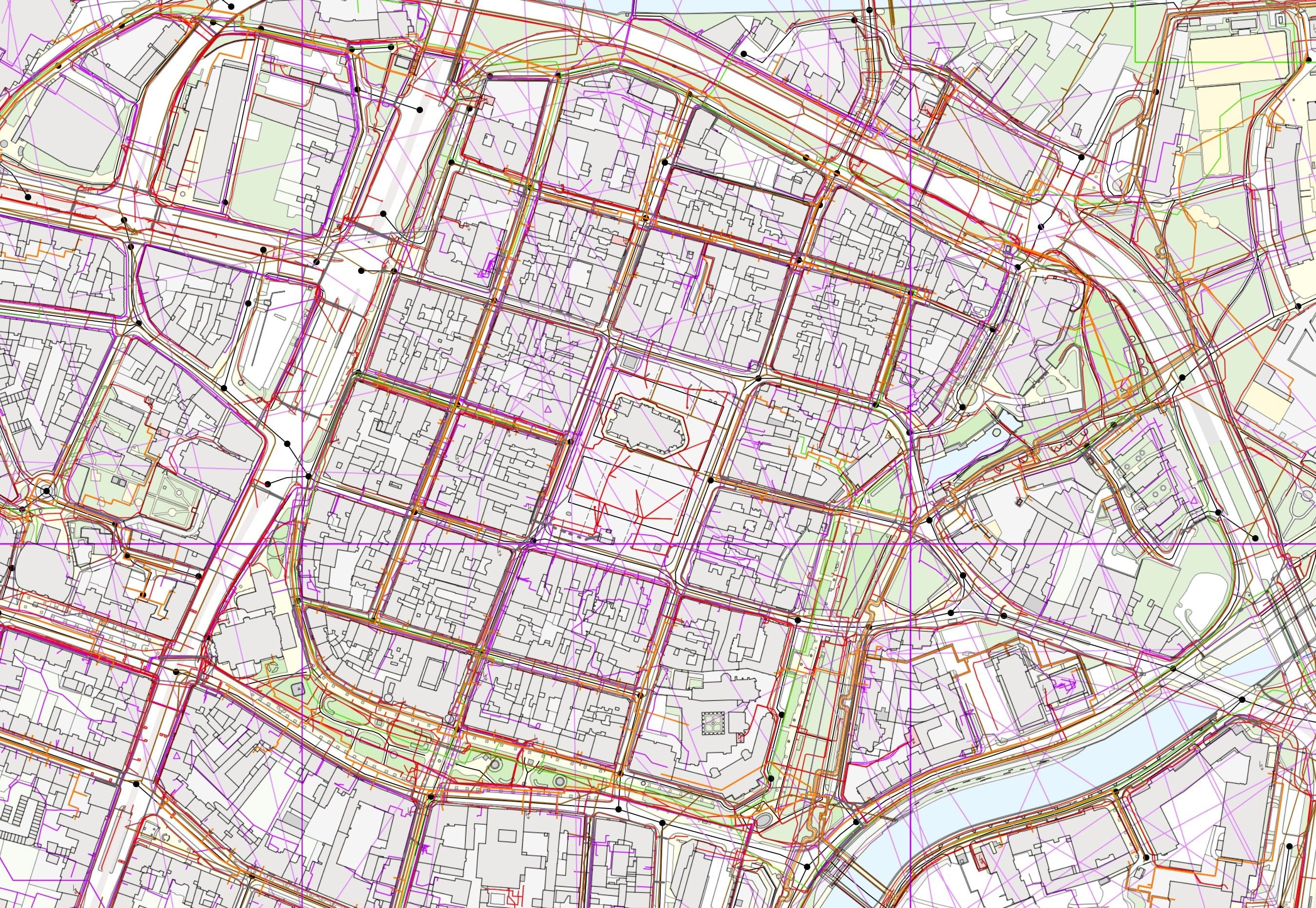
A municipality changes. After a structure is completed we survey the as-built state and write the change into the technical map and the asset registers.
Common questions from this industry
If you cannot find the answer to your question, do not hesitate to contact us.
Yes. For small municipalities we have a simplified geoportal (shared with a Local Action Group, MAS) and an orthophoto + asset register package at a fixed price. No IT specialist is needed.
That is the recommended approach. We start with aerial data as the base layer, then add the geoportal, then the asset registers. The Spirit Cloud architecture is modular – you pay for what you actually use.
Yes. We have experience with both below-threshold and above-threshold contracts, including participation in centralised tenders run by regions and associations of municipalities.
We run Spirit Cloud on our own servers in the Czech Republic. For sensitive data (population registers, technical maps with addresses) we offer an on-premise installation.
Yes. The geoportal supports INSPIRE, WMS/WMTS and ATOM feeds – the data is easy to publish into the national infrastructure (RÚIAN, DTM ČR).
Not sure where to start?
Most of our municipal projects start with a consultation. We go through what you have and what is pressing. From that we propose a step-by-step plan.

Ing. Karel Vondráček
Managing director

Ing. Luboš Hübsch
CCTO