GEOREAL spol. s r.o.

Planimetric and altimetric surveys

Every good design starts with a reliable as-built survey. We prepare planimetric and altimetric data for designers – including documentation of the surroundings of the future structure and the tracing of underground utility networks.

Data for the designTachymetry · GNSS · scanningUtility tracing
Planimetric and altimetric surveys

What it is for

The data a designer builds on

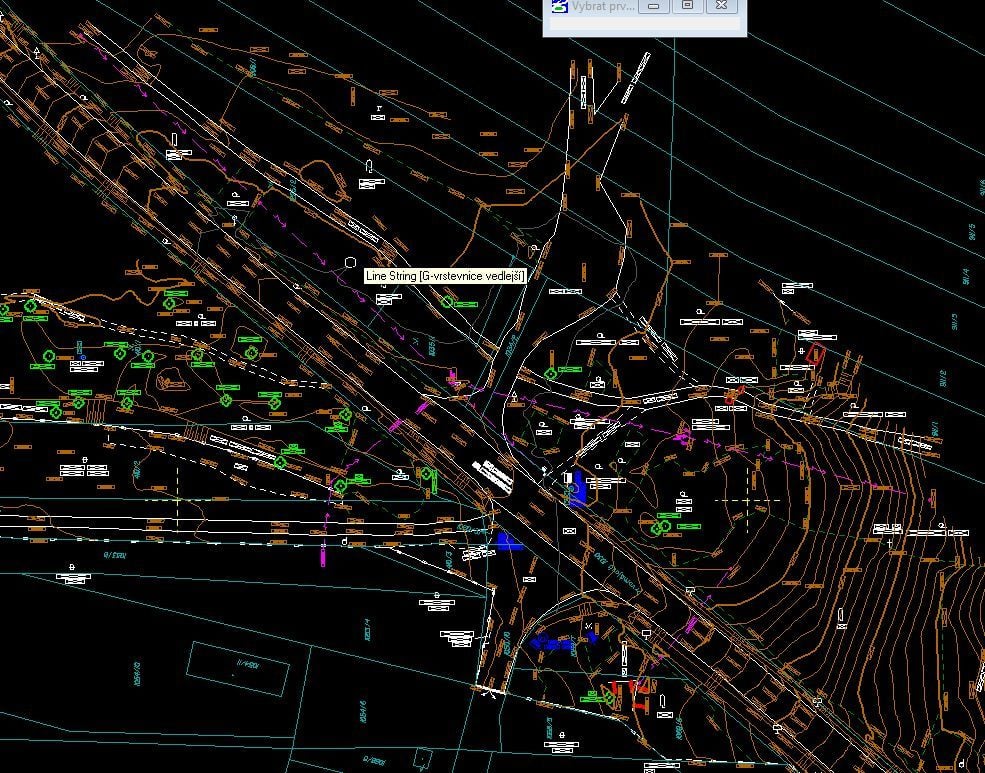
A special-purpose map of the as-built condition of a site – its planimetry, its altimetry and the course of the utility networks – is the input for every design task, from a family house to a linear structure.

We survey the area of interest to the extent and level of detail the design requires: terrain, structures, surfaces, trees and shrubs, fences, gullies and the visible markers of utility networks. Underground lines we trace and supplement from the statements of the network operators, so that the designer works with a complete picture of the site.

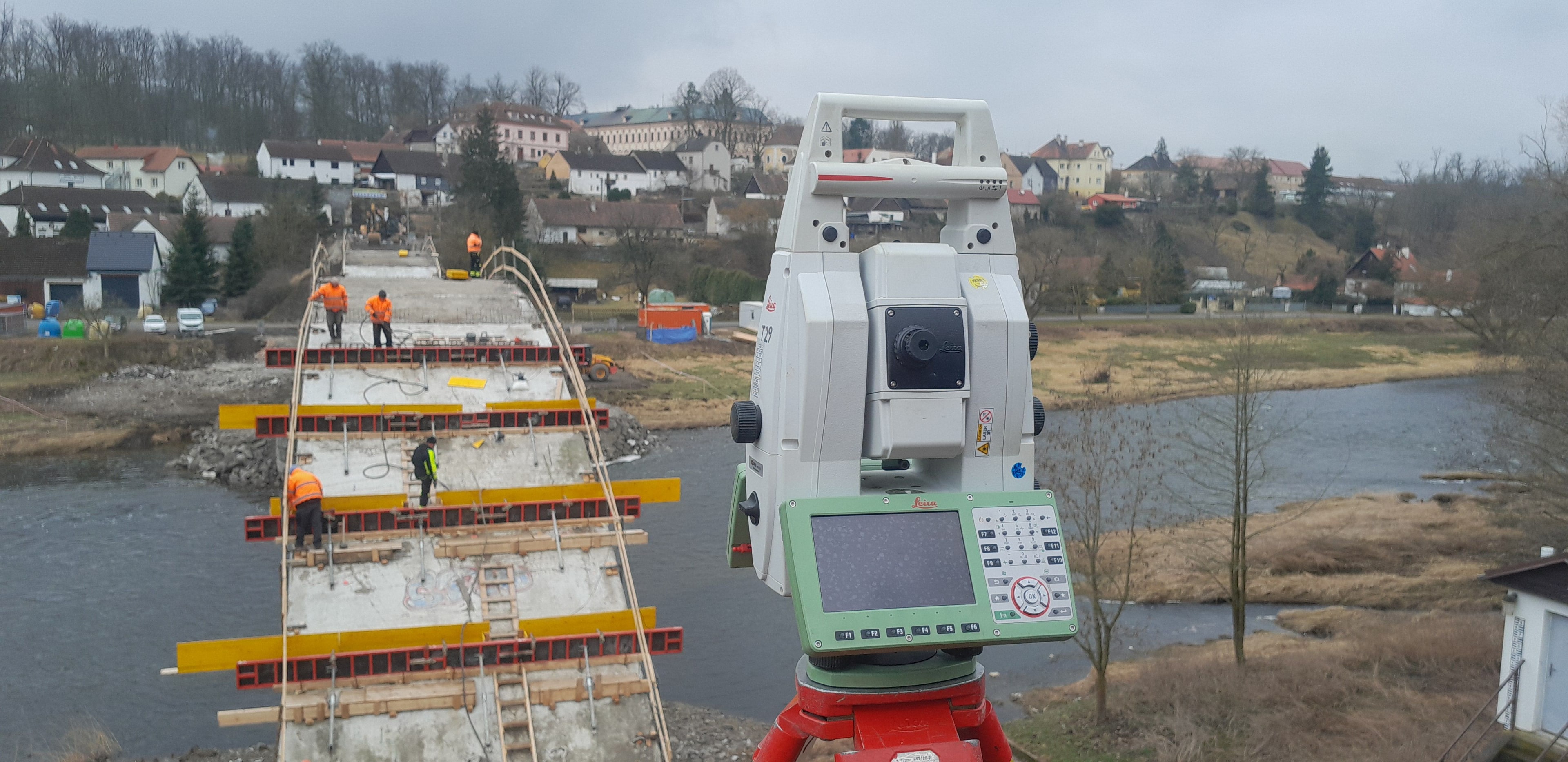
We choose the method according to the site – tachymetry with a total station, GNSS equipment, or laser scanning and photogrammetry where the terrain is broken or area-wide data are required. The output is handed over as a special-purpose map in 2D or 3D, in the S-JTSK coordinate system (national grid) and the Bpv height system (Baltic after adjustment).

The service also includes documentation of the condition of the surroundings of the future structure – a condition survey (pasportizace) of the buildings before the works start, which protects the client in any later dispute over damage.
The data a designer builds on

What it covers

What we can survey and deliver

  • Altimetric and planimetric survey for a design

  • Special-purpose maps of premises and linear structures

  • Tracing of underground utility networks

  • Documentation of the condition of the surroundings of a future structure

  • Survey of longitudinal and cross sections

  • Survey data for watercourse documentation

Deliverables

What you can receive

Special-purpose map

Planimetry and altimetry in the detail the purpose requires, in 2D or 3D.

DWG / DGN / SHP

Digital terrain model

Contour lines or a triangulated network for design software.

TIN / LandXML

Utility network mapping

Traced underground lines supplemented from the operators' statements.

DWG / DGN

Technical report

Description of the measurement, the accuracy and the sources used.

PDF

How it works

From enquiry to survey data

  1. 01

    Brief with the designer

    We specify the extent, the level of detail and the output format according to the needs of the design.

  2. 02

    Fieldwork

    We survey the area with a suitable combination of methods, including utility tracing.

  3. 03

    Processing

    We produce the special-purpose map, the terrain model and the technical report.

  4. 04

    Handover

    We hand the data over in the formats of your design environment.

Common questions

What you ask us most.

As standard in S-JTSK and the Bpv height system, in DWG, DGN or SHP according to the conventions of your design software. The structure of the drawing follows the requirements of the designer or of the network operator.

Yes, we can request statements on the existence of networks and incorporate their course into the map; visible markers and traceable lines we verify directly in the field.

It depends on the size of the site – smaller land parcels we manage within days, extensive premises and linear structures by arrangement. We confirm the date when the order is placed.

Have a project where this fits?

Contact an expert

Ing. René Duras

Ing. René Duras

Team leader

Engineering surveying
Planimetric and altimetric surveys | GEOREAL