GEOREAL spol. s r.o.

Geoportals

For towns, municipalities and public administration bodies – giving easy access to maps, spatial information and other key data from a single place.

SecurityCentralisationOnlineArcGIS EnterpriseOrchard Core CMS
Geoportals

Web portal

ArcGIS Enterprise

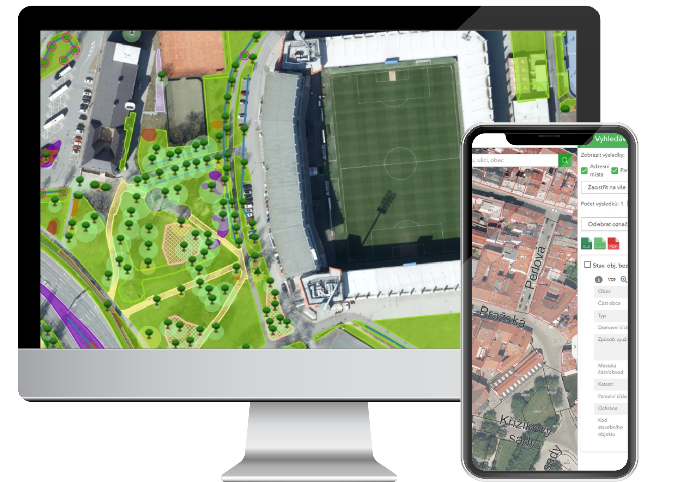
Delivery of a modern web geoportal on ArcGIS Enterprise, connecting data, maps and users in one clear environment. Solutions that allow spatial data, map applications and analytical tools to be shared effectively across the organisation and towards the public.

From requirements analysis through architecture design, implementation and integration of data sources to user training and subsequent support. We adapt geoportals to the specific needs of towns, municipalities, regions, state administration, technical infrastructure and private companies.

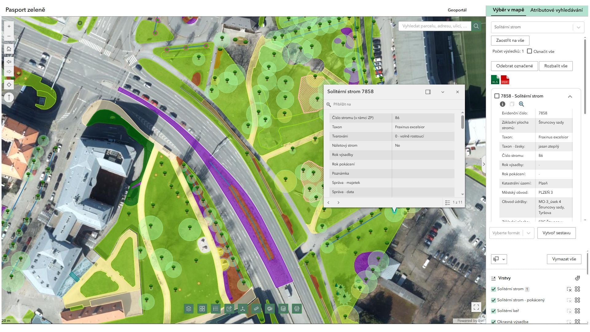
The ArcGIS Enterprise platform gives you a robust and scalable solution that supports the digitisation of processes, increases the availability of data and makes it easier to use them in everyday practice.
ArcGIS Enterprise

Modules

Special ArcGIS Enterprise modules

Asset management module for GIS
01

Asset management module for GIS

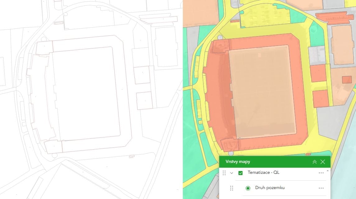
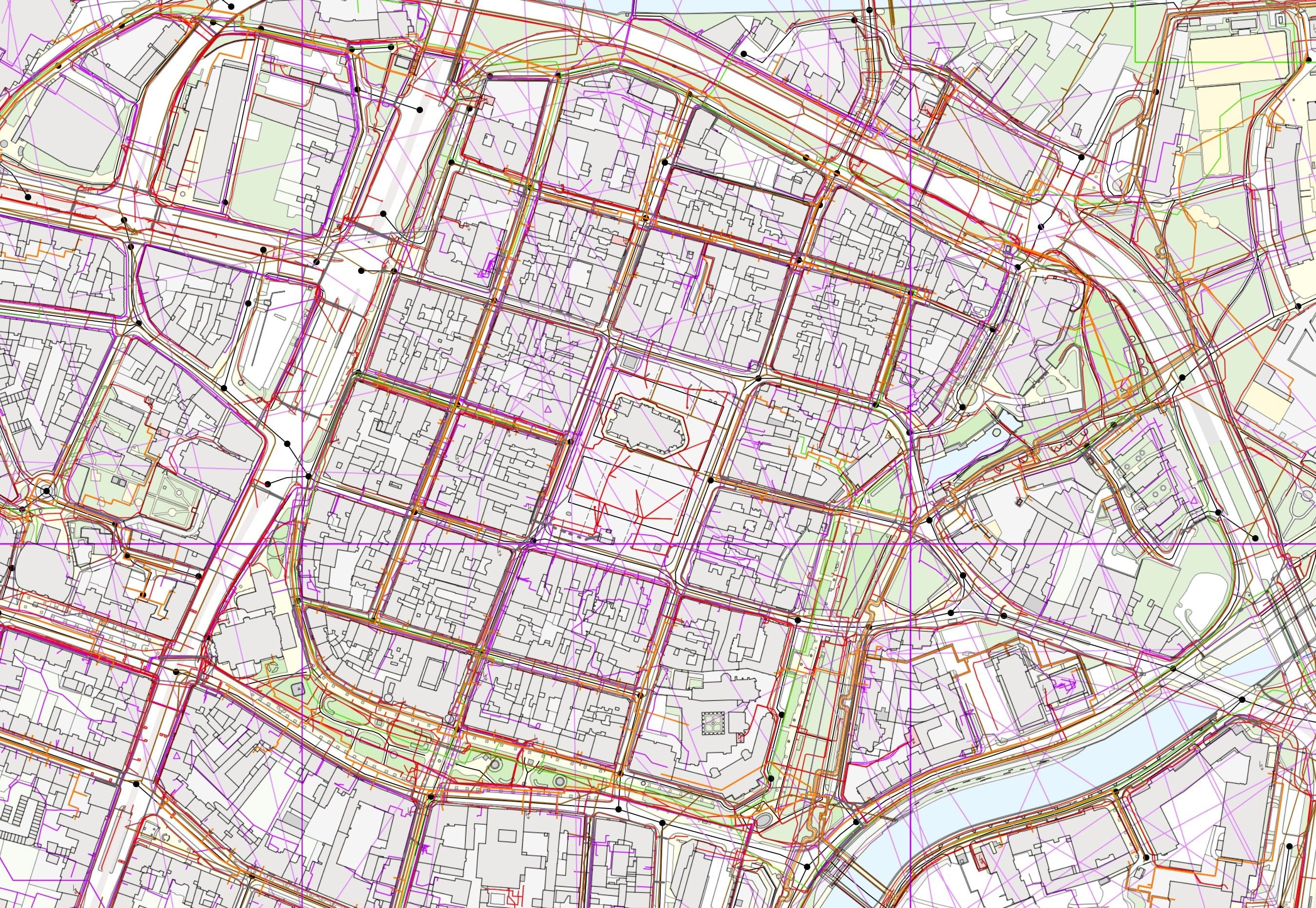
Centralised records, clear data and an efficient tool for the management of municipalities, towns and infrastructure networks. Our solution supports asset management, spatial planning, records of technical infrastructure, planning of repairs and maintenance and the tracking of changes over time – all in one place.

Learn more
Cadastre of Real Estate in GIS
02

Cadastre of Real Estate in GIS

Fast, clear access to data from the Cadastre of Real Estate in a modern web application. Map data linked with register records lets you work easily with information on land parcels, buildings, owners and ownership relationships in one intuitive environment.

Learn more
RÚIAN module for GIS
03

RÚIAN module for GIS

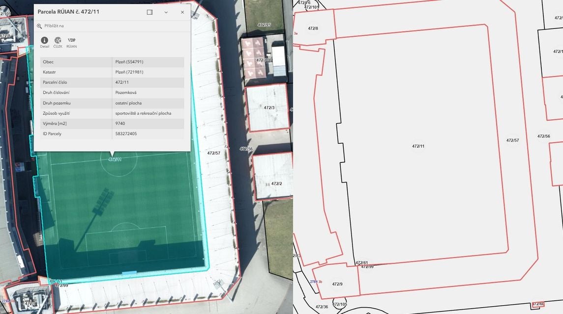
Fast, clear access to data from the RÚIAN register (Register of Territorial Identification, Addresses and Real Estate) through a modern web application. Map data linked with register records lets you work easily with information on the area, addresses, buildings and land parcels in one intuitive interface.

Learn more

Web portal

Orchard Core CMS

Delivered for towns, municipalities, public administration and the commercial sector – from simple map presentations to extensive information portals with thousands of users.

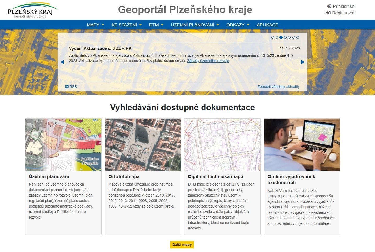
Based on the open-source Orchard Core CMS platform. Modern information portals with integrated GIS technology. They give users access to maps, spatial data and thematic content, while offering administrators simple management and a high degree of flexibility in developing the whole solution.

Turn your spatial data into a modern digital service. We design and develop geoportals on the Orchard Core CMS platform that bring map applications, GIS data and web content together into one clear and easily managed solution.

Orchard Core CMS

Have a project where this fits?

Contact an expert

Jiří Beránek, DiS.

Jiří Beránek, DiS.

Sales

Geoinformatics