GEOREAL spol. s r.o.

Building asset register

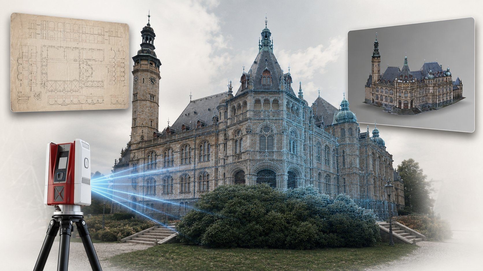
We survey buildings, structures and whole premises in detail and produce as-built documentation – floor plans, sections, elevations and a 3D model. Data for asset management, refurbishment and design work wherever the original documentation is missing or no longer matches reality.

As-built condition of the buildingLaser scanning2D drawings + 3D model
Building asset register

What it is for

Documentation that matches reality

With older buildings the original documentation is often missing, or departed from reality long ago. The asset register replaces it: the result is a verified picture of the building on which you can manage, let and design.

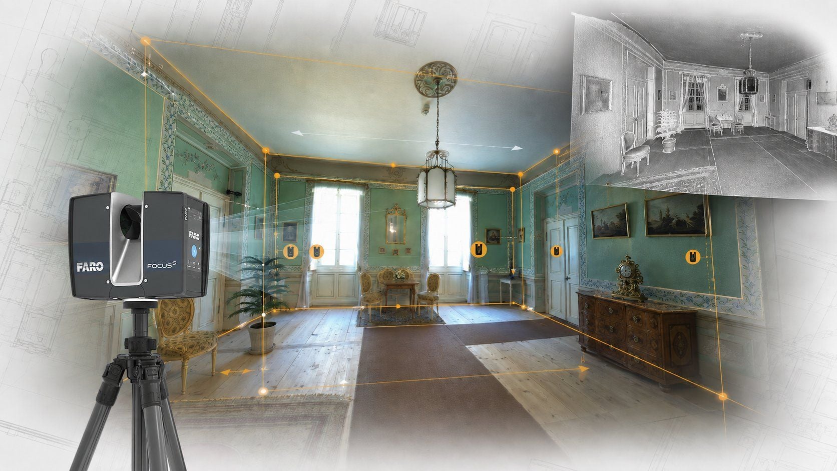
We survey buildings mainly by static laser scanning – quickly, without contact and in a level of detail that captures the real dimensions of the rooms, the storey heights, the openings and the structures. From the point cloud we produce as-built construction drawings: floor plans of the individual storeys, sections and elevations, and a 3D model of the building where required.

We complete the asset register with the data you need for management: room and floor areas for tenancy agreements, room numbers and uses, or records of selected elements. We hand the data over so that it can be used directly in your CAD, GIS or facility management system.

As-built documentation also serves as the basis for a refurbishment design, an energy assessment or the digitisation of the assets of an entire site.
Documentation that matches reality

What it covers

What a building asset register contains

  • Laser scanning survey of interiors and exteriors

  • As-built floor plans of the individual storeys

  • Sections and elevations of the building

  • Room and floor areas

  • 3D model or a basis for BIM

  • Data for facility management and GIS

Deliverables

What you can receive

As-built drawings

Floor plans, sections and elevations evaluated from the point cloud.

DWG / DGN / PDF

Room schedules

Numbers, uses and areas of the rooms for management and tenancies.

XLSX / PDF

Point cloud

The complete survey of the building for future use.

LAS / E57

3D model / BIM basis

Model of the building at the chosen level of detail.

IFC / RVT

How it works

From the site visit to the asset register

  1. 01

    Brief and site visit

    We specify the extent, the level of detail of the drawings and the schedules required.

  2. 02

    Survey of the building

    We scan the building storey by storey, with minimal disruption to its operation.

  3. 03

    Processing

    From the point cloud we evaluate the drawings, the areas and, where required, the 3D model.

  4. 04

    Handover

    We hand the documentation over in the formats of your CAD/FM environment.

Common questions

What you ask us most.

A standard office building takes days to scan; the drawings then depend on the extent and the detail. The operation of the building is practically unaffected.

According to the purpose – from schematic floor plans for area records to detailed construction documentation for a refurbishment design. The detail and the scale are agreed in advance.

Yes. Alongside the buildings we survey the outdoor areas, the utility networks and the site furniture – the result is a single data set for the whole site for asset management in GIS.

Have a project where this fits?

Contact an expert

Ing. Tomáš Vybíral, Ph.D.

Ing. Tomáš Vybíral, Ph.D.

Team leader

3D scanning and mine surveying