GEOREAL spol. s r.o.

Cadastral survey plans

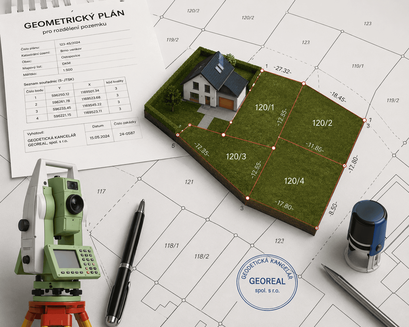
A cadastral survey plan (geometrický plán) is an inseparable part of the documents on which a change is recorded in the Cadastre of Real Estate. We prepare it including the field survey, verification by an authorised surveying engineer (AZI) and confirmation by the cadastral office.

Verified by an authorised surveyorConfirmed by the Cadastral OfficeElectronic form
Cadastral survey plans

What it is for

Without a cadastral survey plan no change is recorded in the cadastre

Whenever the subject of the entry is to be shown in the cadastral map – a new land parcel, a building or the extent of an easement – a cadastral survey plan must form part of the document.

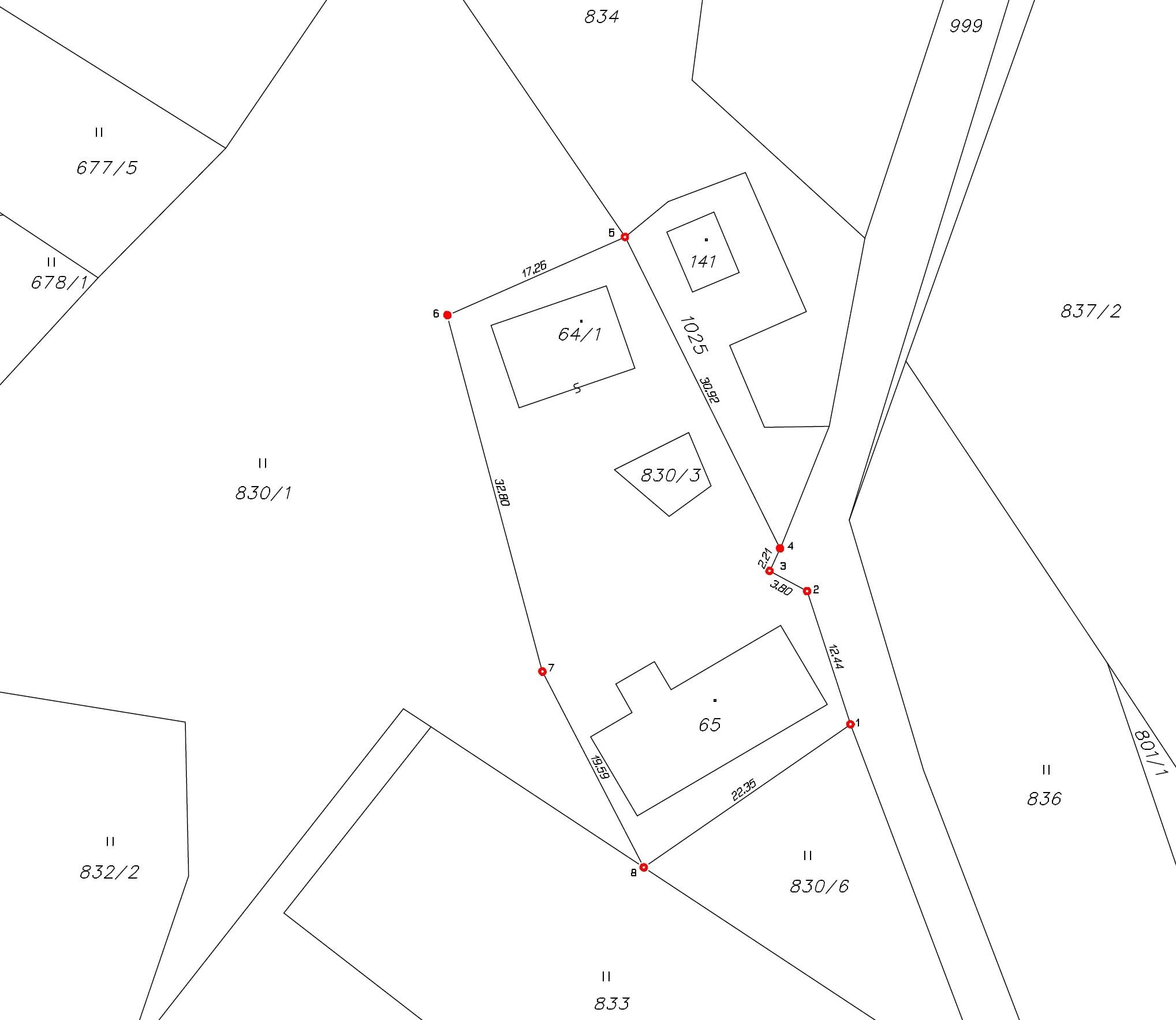
A cadastral survey plan shows the state of the land parcels before and after the change and is always based on a field survey. We prepare it in line with the current cadastral records: we request the source data and a reservation of new parcel numbers from the local cadastral office, survey the change, compile the record of detailed survey of changes and have the finished plan confirmed by the Cadastral Office.

Every cadastral survey plan is verified by our authorised surveying engineer (AZI), who is responsible for its correctness and completeness. We hand it over in electronic form for the entry and in the required number of printed copies – and we are glad to advise which further documents (a contract, the building authority consent to the division of the land) you will need for the entry.

We prepare cadastral survey plans for small landowners, designers and developers, and for linear projects with dozens of affected land parcels.
Without a cadastral survey plan no change is recorded in the cadastre

What it covers

We prepare a cadastral survey plan for

  • A change to the boundary of a cadastral district

  • Division of a land parcel

  • A change to a land parcel boundary

  • Recording or change of the outline of a building that is the principal structure, and of a hydraulic structure

  • Determination of boundaries in land consolidation

  • Addition of a land parcel so far recorded in a simplified way to the set of geodetic information

  • Correction of the geometric and positional determination of a property

  • Refinement or reconstruction of land parcel data under allotment proceedings

  • The course of a land boundary that has been set out or refined by the owners

  • The course of a boundary determined by a court

  • Definition of the extent of an easement over part of a land parcel

Deliverables

Everything you receive

Cadastral survey plan

Confirmed by the Cadastral Office and verified by an authorised surveyor – ready as an annex to the document.

PDF + print

Record of detailed survey of changes

Survey documentation of the change submitted to the local cadastral office.

per ČÚZK regulations

Assistance with the entry

We advise on the application for registration and on the documents required.

consultation

How it works

From the order to a confirmed plan

  1. 01

    Order and source data

    We clarify the purpose of the plan and request the source data and parcel numbers from the cadastre.

  2. 02

    Field survey

    We survey the change, coordinating with you or with the client as required.

  3. 03

    Processing and verification

    We prepare the plan and the survey documentation; an authorised surveying engineer verifies it.

  4. 04

    Confirmation and handover

    The Cadastral Office confirms the plan; we hand it over electronically and in print.

Common questions

What you ask us most.

Ancillary buildings are not recorded in the Cadastre of Real Estate; in the cadastral map they appear only as a secondary planimetric feature. The local cadastral office shows the outline of an ancillary building on the basis of a record of detailed survey of changes (ZPMZ) verified by an authorised surveyor, as part of the entry of other data. We prepare the ZPMZ documentation and advise on the process of recording the change.

Whenever the change is to appear in the cadastral map – typically when dividing a land parcel, on completion of a structure (the entry of a building that is the principal structure on the land, or of a hydraulic structure), when creating an easement over part of a land parcel, or when refining a boundary. For the transfer of a whole land parcel on its own you do not need a cadastral survey plan.

It is enough to know the cadastral district, the parcel number and the purpose of the change. We request the data from the cadastre ourselves; when land is being divided we will point out that the consent of the building authority is needed.

It depends on the extent of the change and on the season – ordinary jobs take a matter of weeks. The period also includes confirmation of the plan by the local cadastral office, whose workload is beyond our control; we will confirm the date when you place the order.

No. The cadastral survey plan is an annex to a document (for example a purchase contract or a notification of a structure); the entry is made by the Cadastral Office on the basis of an application for registration or a notification. We are glad to advise on preparing the submission.

Enquiry

Cadastral survey plan enquiry

Tell us what change is involved and where. Using the parcel numbers we will request the data from the cadastre and come back to you with a survey date and a price.

Contact an expert

Robert Nekola

Robert Nekola

Head of cadastral plans

Cadastral survey plans and setting out
Attachments (optional)

An extract from the cadastral map, a site layout from the designer, an older cadastral survey plan or just a photo from the site all help. It works without attachments too.

Cadastral survey plans | GEOREAL