GEOREAL spol. s r.o.

Mobile mapping (MMS)

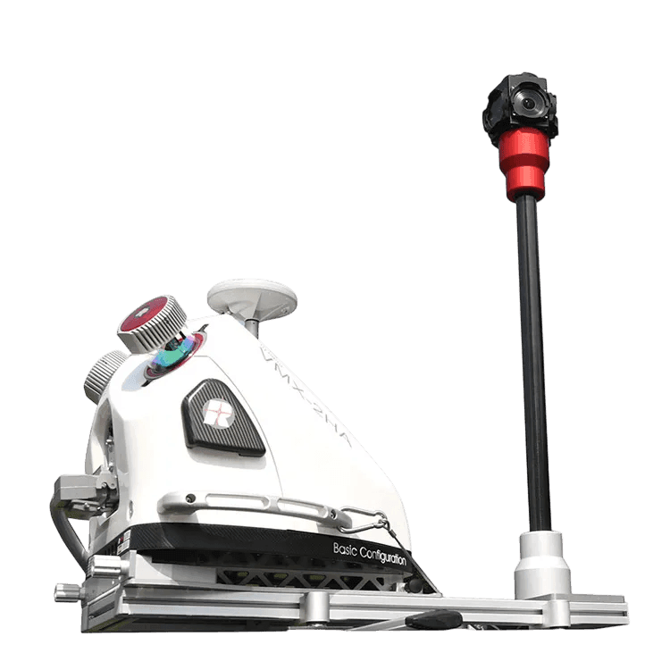
With the vehicle-mounted RIEGL VMX-2HA mobile mapping system (MMS) we capture detailed point clouds and spherical imagery of tens of kilometres of roads a day – with no closures and no traffic restrictions. An accurate 3D record of streets, roads and the surrounding infrastructure for mapping, asset registers and pavement condition assessment.

RIEGL VMX-2HAUp to 1 000 points/m²Spherical imageryNo traffic restrictions
Mobile mapping (MMS)

Numbers that speak

What the system can do

1 000

points/m²

5 mm

measurement accuracy

2 cm

coordinate accuracy

360°

spherical imagery

What it is for

Streets and roads in data, not in estimates

Mobile mapping is a method of large-scale data acquisition: laser scanners and spherical cameras mounted on a vehicle build a detailed and accurate spatial model of the real world.

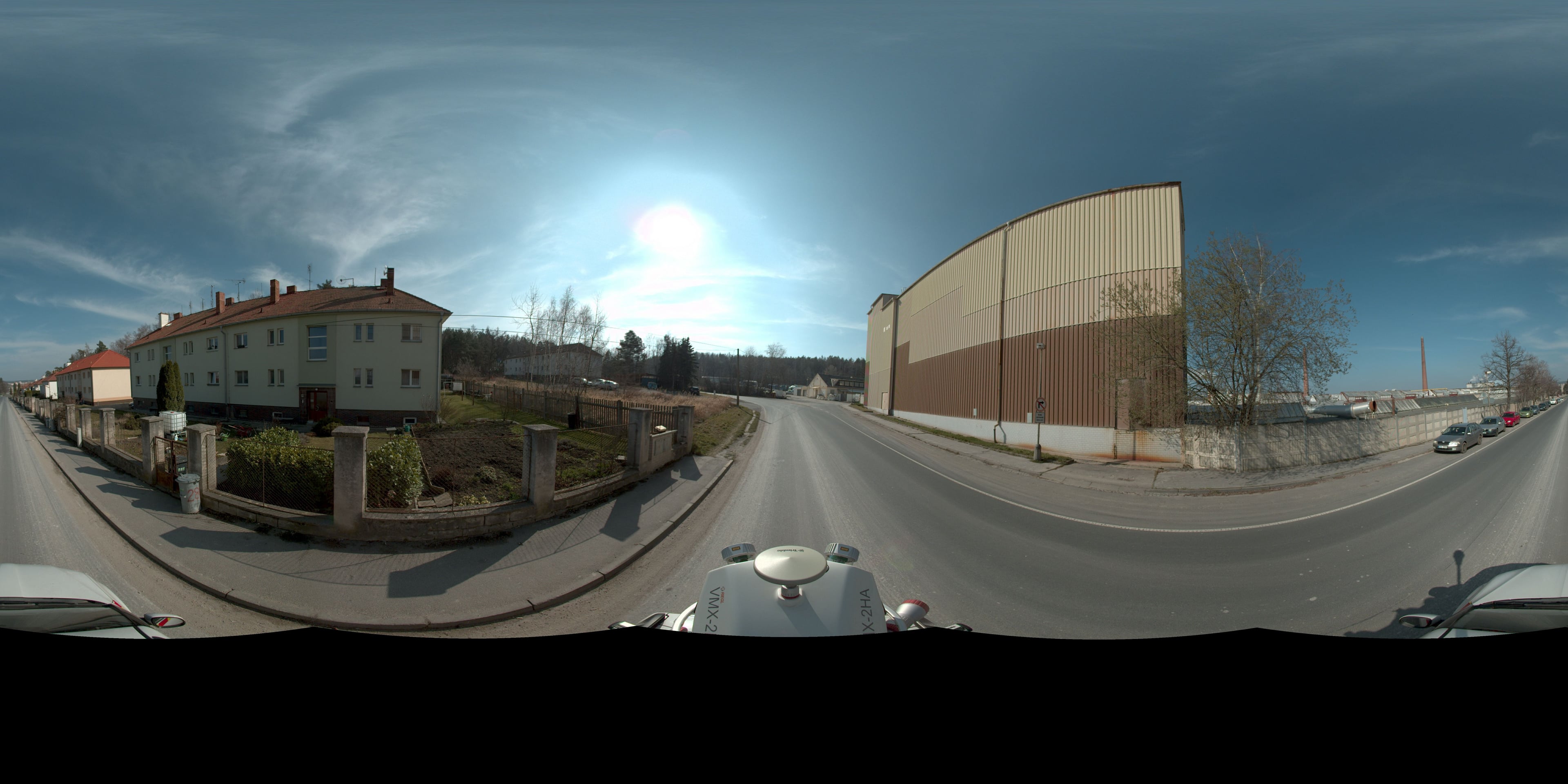
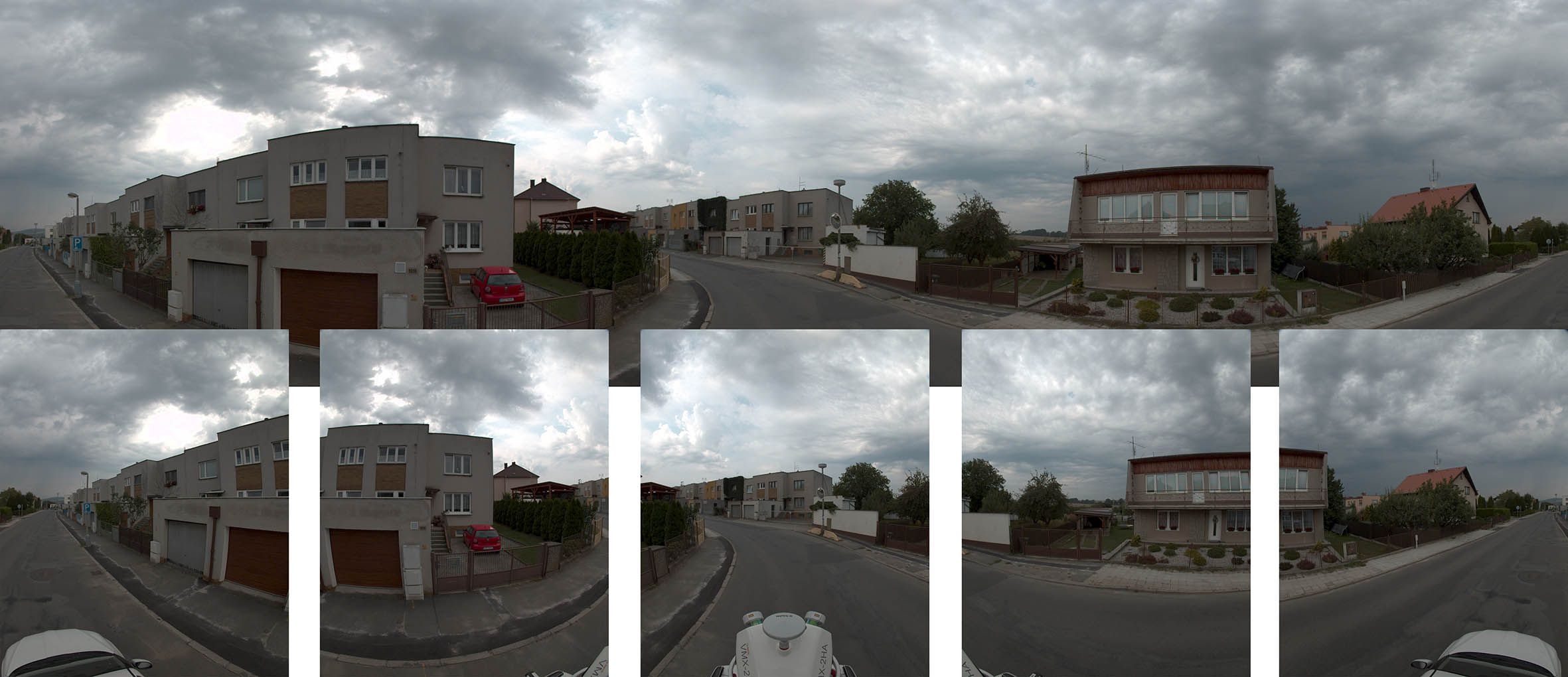
The RIEGL VMX-2HA is one of the most advanced mobile mapping systems available. While driving normally it captures a dense point cloud and, at the same time, spherical photographs which the accurate point cloud georeferences – so objects can be measured and identified in them and asset registers updated from them.

The data serves surveys of the planimetry and altimetry of linear structures, pavement surface condition assessment, volume calculations along roads or a baseline for reconstruction design. A single drive serves many purposes – from traffic signage to the condition of the greenery along the road.

Compared with conventional surveying, closures and work in live traffic are no longer needed: we survey at the speed of the traffic flow, safely and with minimal coordination costs.
Streets and roads in data, not in estimates

One drive

What comes out of a single drive

The point cloud and the spherical photographs are captured at the same time – each type of data has its own use.

Point cloud
01

Point cloud

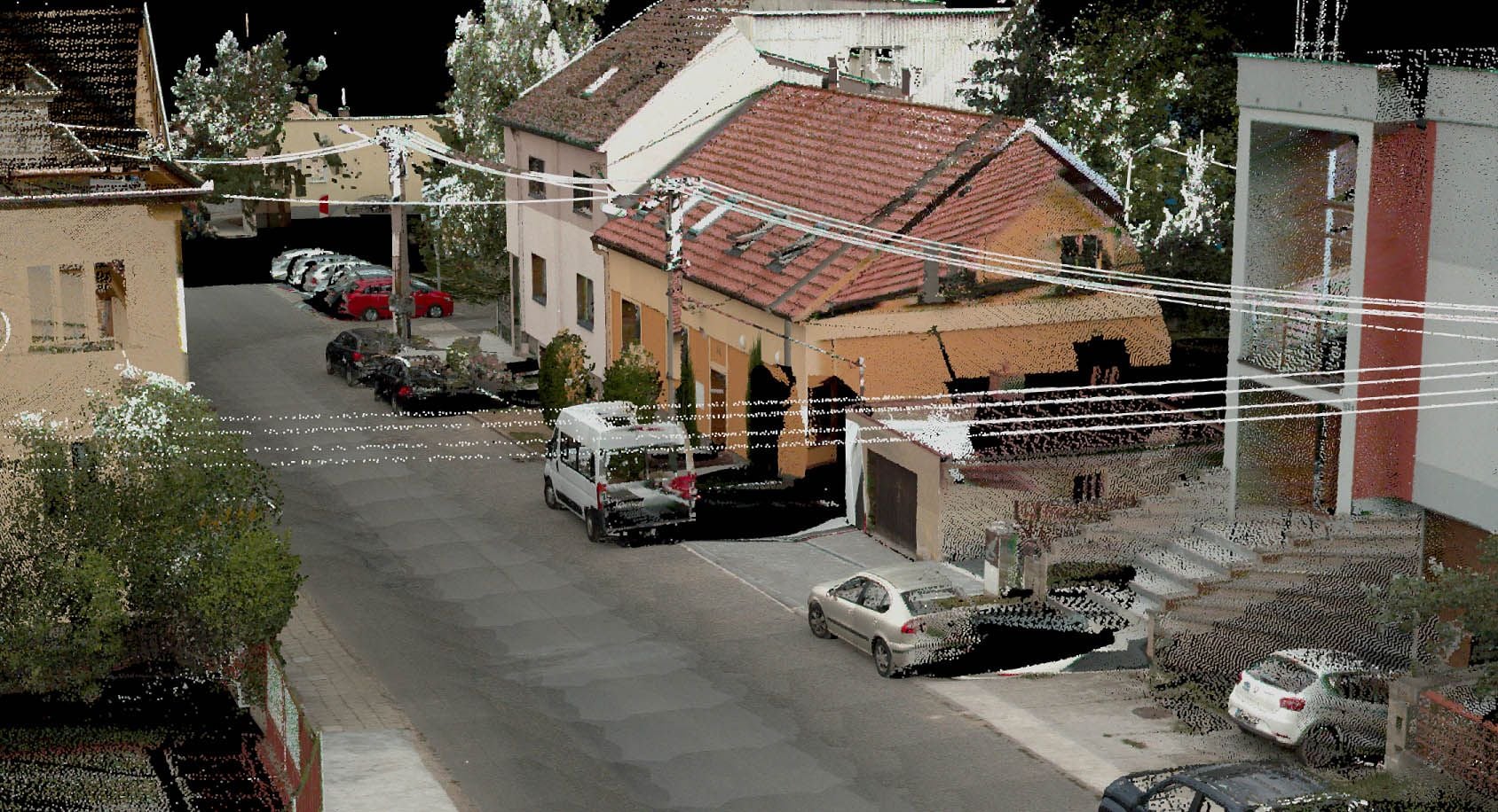
A dense point cloud of the road and its surroundings – the basis for vector extraction, profiles and volumes.

Spherical photograph
02

Spherical photograph

A georeferenced panorama along the route – identification of objects and updating of asset registers without a site visit.

Typical tasks

Where mobile mapping excels

  • Planimetric and altimetric survey of roads

  • Baseline data for road and street reconstruction design

  • Pavement surface condition assessment

  • Asset registers of roads, signage and street furniture

  • Volume calculations along routes

  • Clearance profiles and collision analyses

Outputs

What you can receive

Point cloud

A classified point cloud at a density of hundreds up to a thousand points per m².

LAS / LAZ

Panoramic photographs

Georeferenced spherical imagery along the entire surveyed route.

JPEG 360°

Special-purpose map

Vector extraction of planimetry and altimetry from the point cloud.

DWG / DGN / SHP

Longitudinal and cross profiles

Road profiles for design and condition assessment.

DWG / LandXML

Asset register data

Extracted features (signage, street furniture, greenery) for GIS and asset registers.

SHP / GDB

How it works

From route to data

  1. 01

    Drive plan

    We propose the route, the ground control points and the scope of the extraction.

  2. 02

    Survey drive

    We drive the route in normal traffic; extensive networks in stages.

  3. 03

    Processing

    We adjust the trajectory, georeference the point cloud and the imagery and extract the required features.

  4. 04

    Handover

    We deliver the data in the formats of your GIS or design environment.

Common questions

What you ask us most.

The scanner measures to an accuracy in the order of millimetres; the resulting geometric accuracy of the coordinates in S-JTSK (national grid) is in the order of centimetres – it depends on the quality of the GNSS conditions and on the ground control points, which we design according to the purpose of the project.

No. The system measures on the move in the normal traffic flow – without closures, temporary signage or any risk to surveyors working in live traffic.

They add image information to the point cloud: in the panoramas objects can be identified, measured and taken over into asset registers without you having to go on site.

Have a project where this fits?

Contact an expert

Ing. Tomáš Vybíral, Ph.D.

Ing. Tomáš Vybíral, Ph.D.

Team leader

3D scanning and mine surveying