


Ing. Karel Vondráček
Managing director
Who we are
Surveying, aerial photography, GIS and design activities under one roof.

What we do
GEOREAL spol. s r.o. is a leading Czech company specialising in aerial photography, surveying, GIS and design activities. We deliver precise survey data and spatial information for public administration, construction companies and design offices. We have our own aerial division, top-end equipment (LiDAR, photogrammetry, UAV, RTK) and a team of specialists covering the whole chain – from data capture in the air and on the ground through to processing and publication.
Our facilities and equipment
History
From a small surveying office to one of the leading players in the field – the milestones that shaped us.
1991
On 16 December 1991, GEOREAL spol. s r.o. is founded in Plzeň – an office for geodesy and real estate. Those two words gave the company its name. We start with the Cadastre of Real Estate.
1994
We complete our first complex land consolidation project and see it registered in the Cadastre of Real Estate. A field we still work in today.
1996
We acquire a large-format photogrammetric scanner. Aerial images move from film into digital form and we process them in-house.
1998
We expand into mine surveying and deploy our first GIS systems – data from quarries and operations moves out of drawings and into a spatial database.
2000
We begin processing datasets for public administration and add design services for spatial planning.
2005
We acquire our first terrestrial laser scanner. Instead of individual points we measure millions at once – and the point cloud becomes a standard deliverable.
2007
We acquire our first aircraft and a professional aerial camera – entering the aerial imaging market with our own technology.
2010
The large-format UltraCamXp digital camera arrives. The image is no longer captured on film but directly as a data file.
2012
We begin flying photogrammetric contracts outside the country – Germany, Austria, France, Bulgaria.
2013
We join research projects of the Technology Agency of the Czech Republic, and in-house development is added to contract work.
2021
We celebrate thirty years in business. The surveying office has become a company with a hundred specialists, its own aircraft and its own software.
2025
In December we complete our own hangar at Karlovy Vary airport and obtain final building approval – facilities for the aircraft and the aerial division.
2026
After thirty-five years we are changing how the brand looks. The name, the team and our standards for the work stay as they are.
vkontextu.cz
After thirty-five years we are changing how the brand looks. The logo comes from two signs of our work: a square as a defined area and an arrow as upward motion – joined into the letter G. With it come new colours, a custom typeface and one set of rules for print and digital. What does not change is the name, the team, or the standard of the work. We prepared GEOREAL’s new visual identity in collaboration with VKONTEXTU. Thank you for your cooperation.
Management
The company is run by managing directors who also work in it professionally – for none of them are surveying and aerial photography just a line in an organisation chart.
Managing director

Managing director
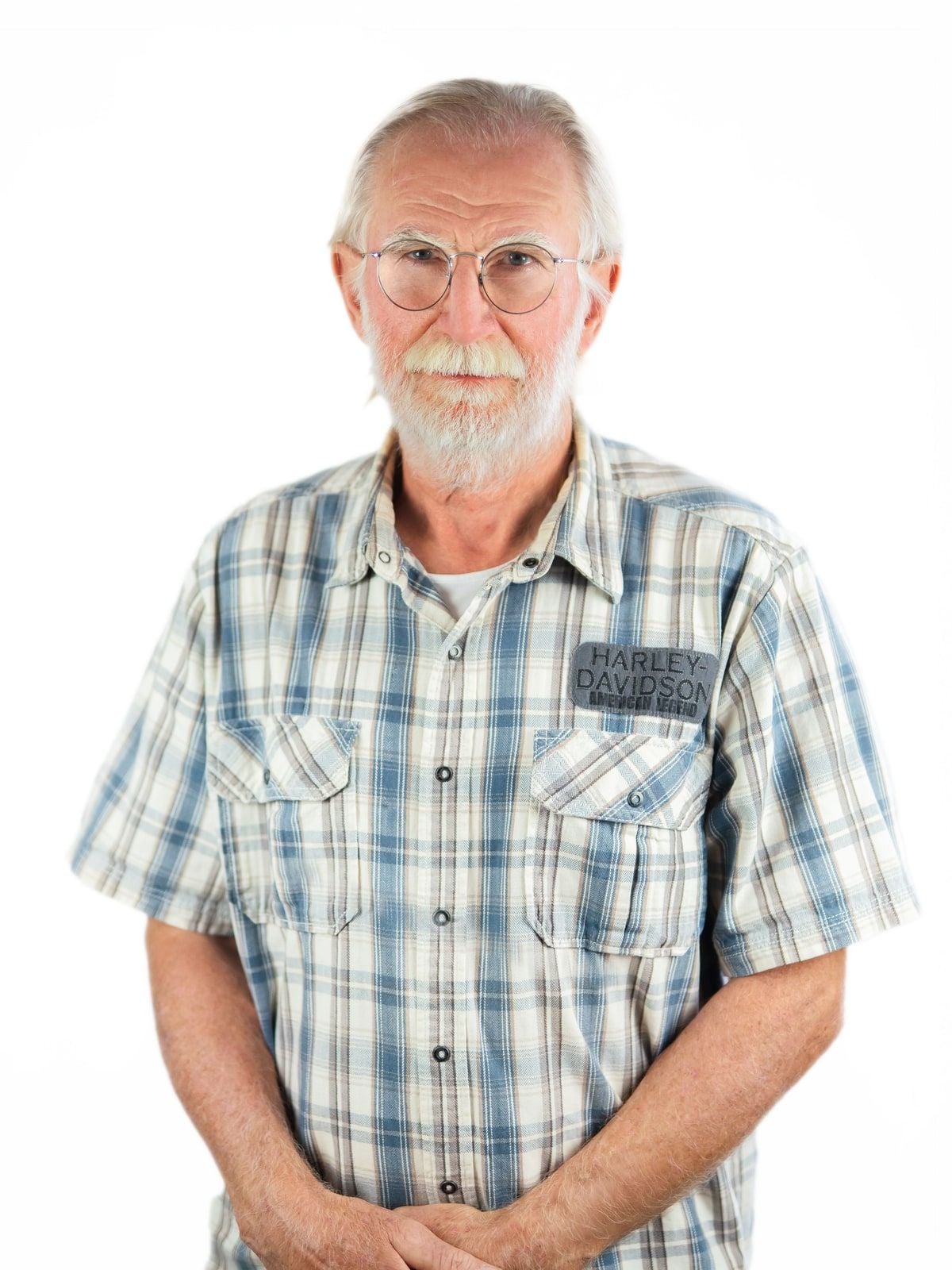
Managing director & Founder
Quality assurance
Our work is backed by professional authorisations and quality management systems.
Quality management system in accordance with the international ISO 9001 standard.
Survey outputs are verified by authorised surveying engineers (AZI).
We carry out aerial photography under a permit from the Civil Aviation Authority (Úřad pro civilní letectví).
Design activities are covered by engineers authorised under ČKAIT (Czech Chamber of Chartered Engineers and Technicians).
We handle client data in accordance with the GDPR and internal security rules.
Do you have a project that needs precise data, aerial imagery or a GIS solution? Get in touch – or join our team.