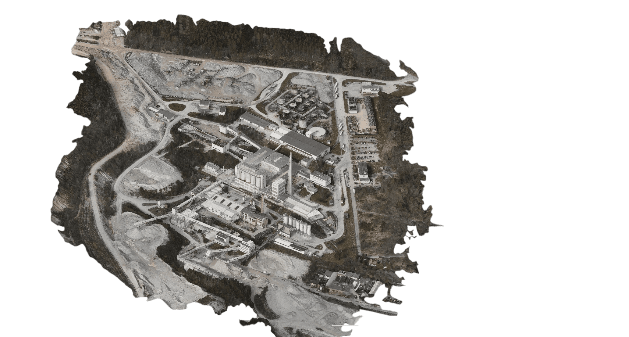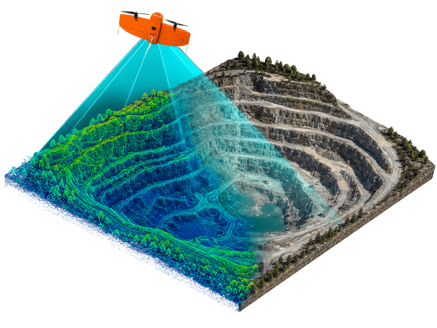
A drone fitted with a camera captures the site with a high overlap and from the images we photogrammetrically produce an orthophoto, a digital surface model, a point cloud or a 3D model. Accuracy is secured by surveyed ground control points – the outputs are tied to S-JTSK (national grid) and can be combined directly with other data.
The strength of drones lies in speed and repeatability: we can photograph the same site at regular intervals and follow the progress of construction, extraction or landfilling. For larger areas we move seamlessly to photography from an aircraft – you stay with a single supplier and a consistent methodology.
We fly in compliance with the rules for the operation of unmanned systems, including obtaining the permits required for the site in question.