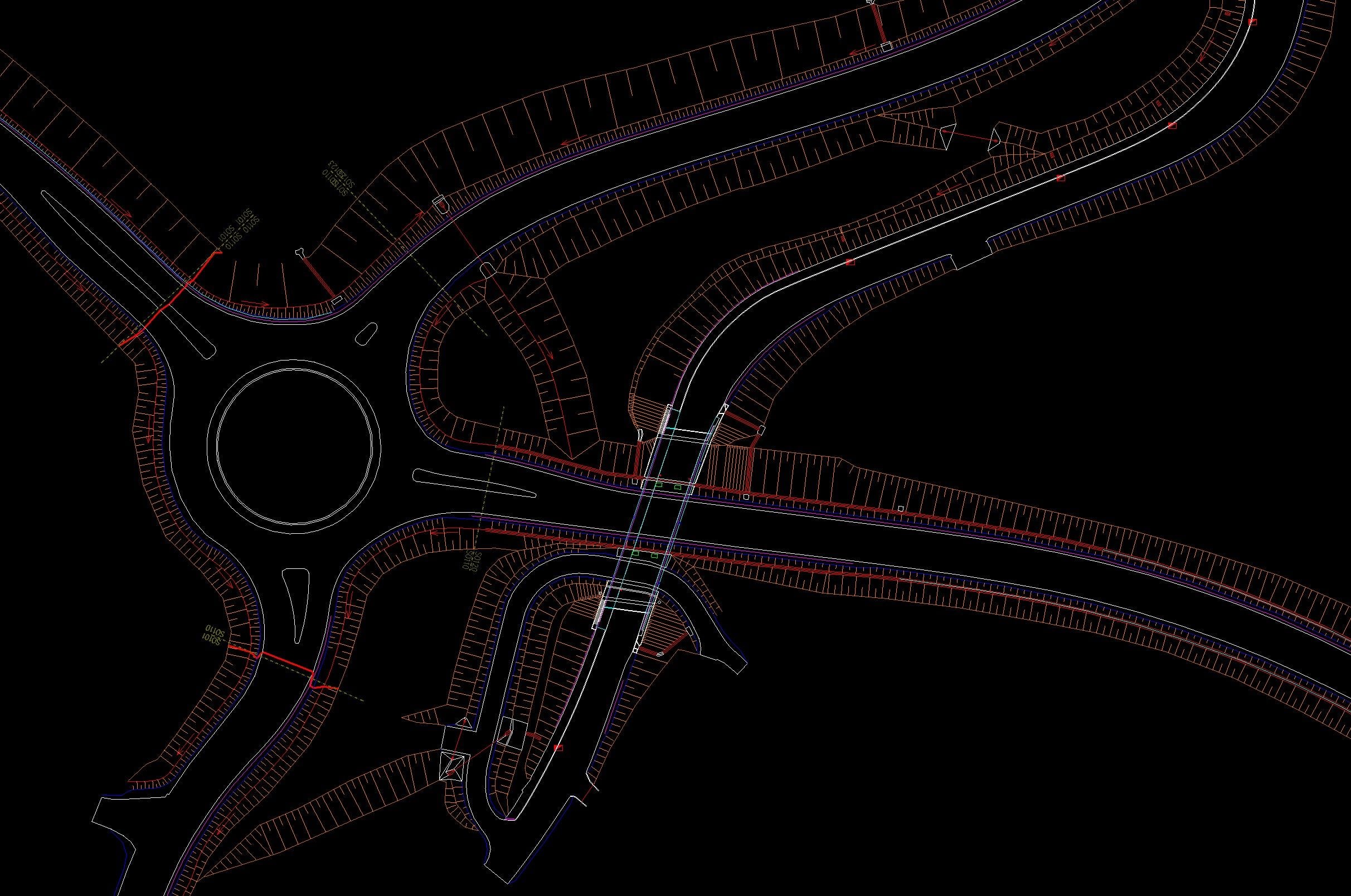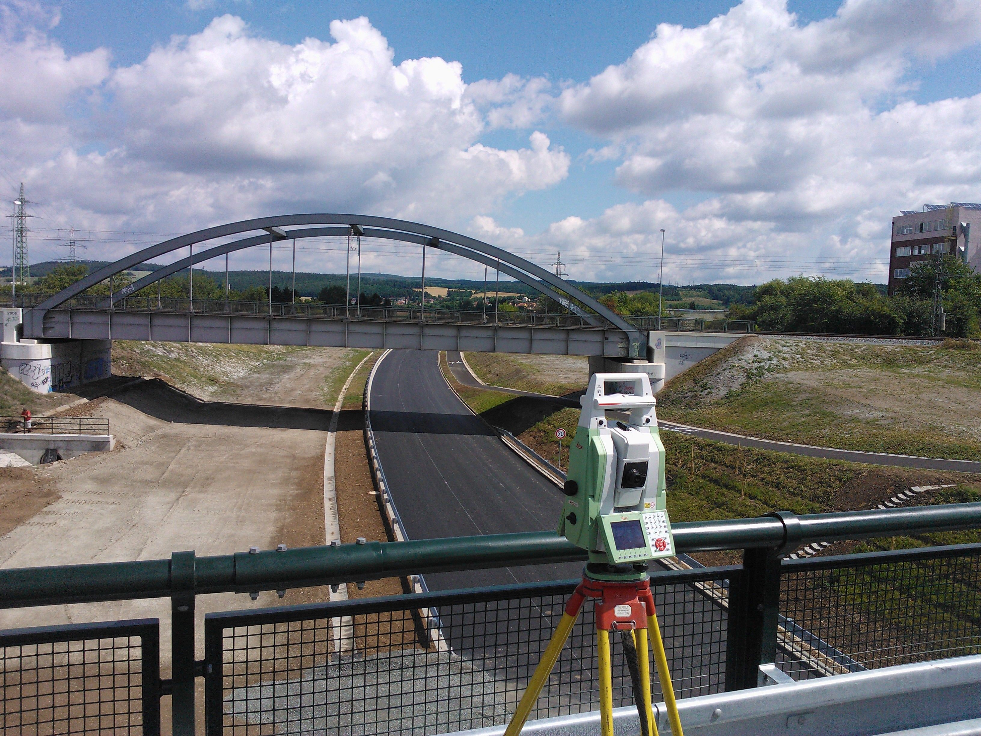
We carry out the as-built survey continuously as construction proceeds – the key step is surveying underground lines before backfilling, when the network is visible for the last time. The result is the surveying part of the documentation: a site plan, longitudinal profiles and a list of coordinates in the level of detail required by the building authority, the client or the network operator.
Every utility network operator has its own data specification; our outputs comply with them, so the handover goes through without the documentation being returned. We also prepare the data on transport and technical infrastructure in the structure used for the Digital Technical Maps of the regions, to which changes have had to be submitted since July 2024.
The survey is followed by a cadastral survey plan (geometrický plán) recording the completed structure or easements in the Cadastre of Real Estate – we handle it all in a single package, certified by an authorised surveying engineer.