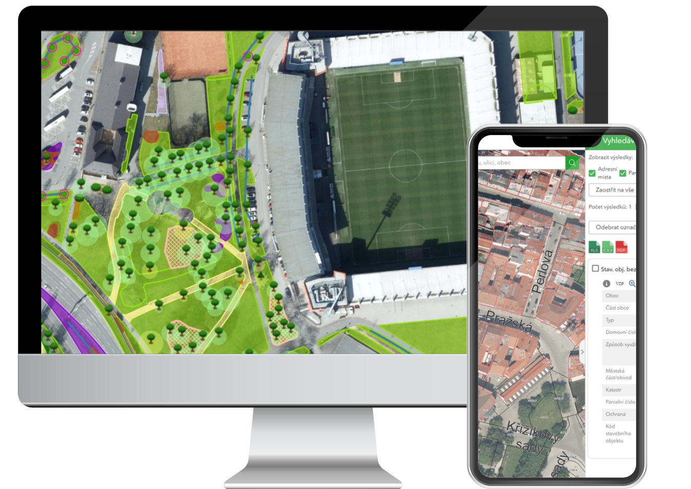
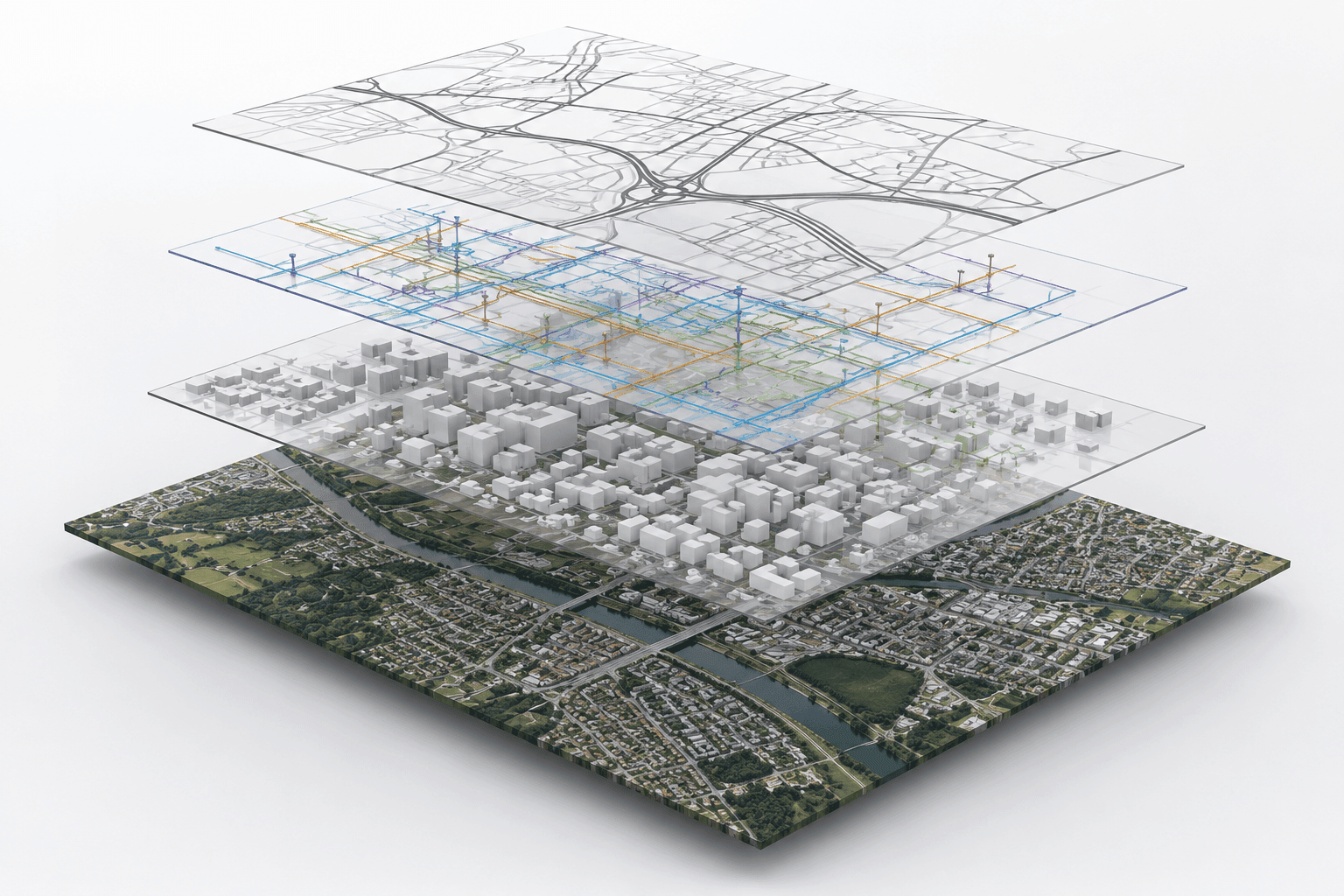
We have been designing and building geographic information systems for more than 25 years. Our solutions range from publicly accessible geoportals for municipalities and regions to closed applications for network management, asset records and the mining industry. The key is integrating heterogeneous data into a single environment where it can be worked with intuitively and securely.
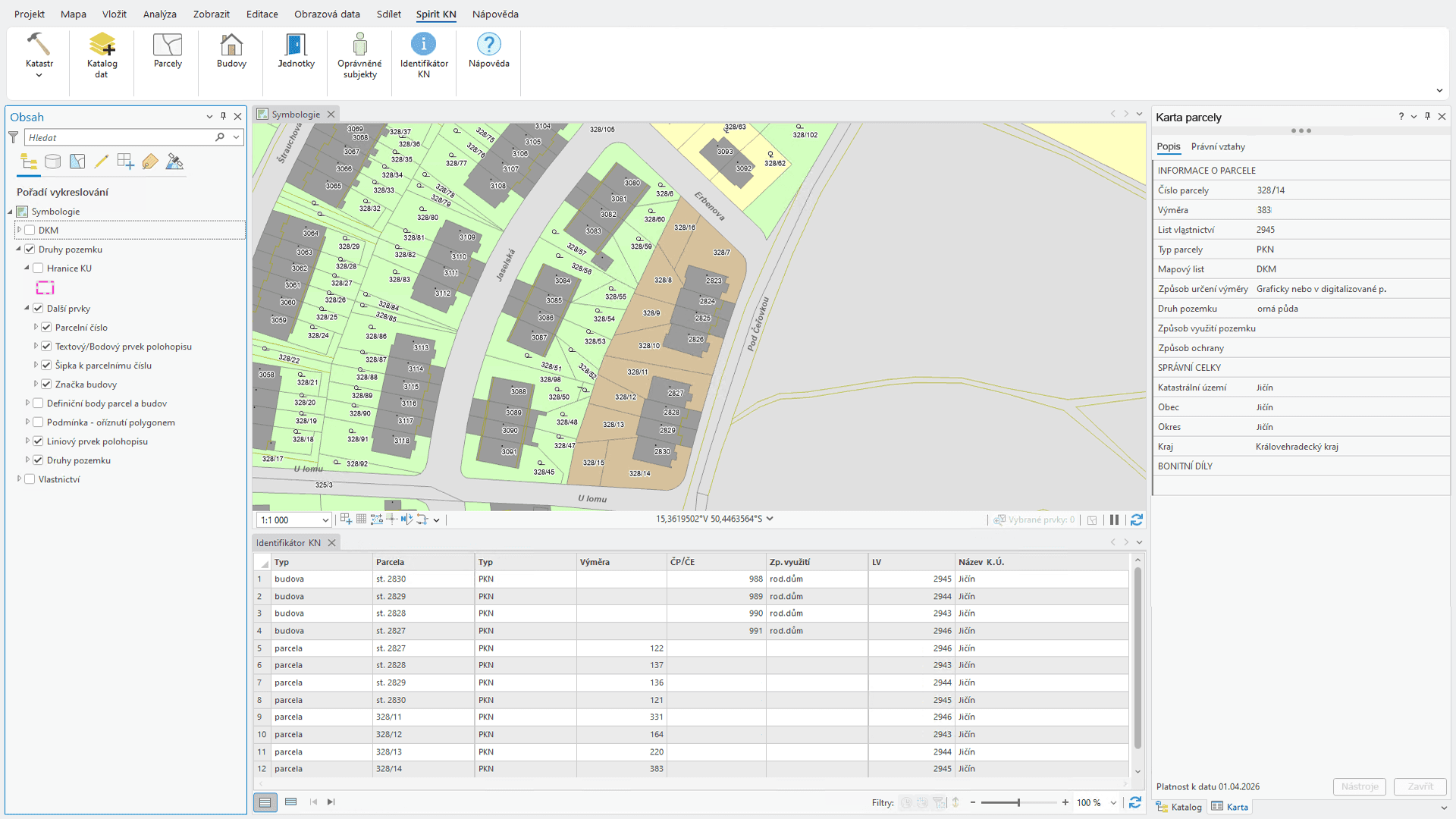
We develop web, mobile and desktop applications on open as well as commercial platforms. Our own products Spirit DTI, Spirit ÚAP and Spirit KN cover the typical needs of state administration. For customers with non-standard requirements we build tailored solutions with an emphasis on long-term maintainability.
Analytics is an integral part of GIS – spatial queries, scenario modelling and the publication of statistics. Our consultants help with the design of the data model, the selection of technology and setting up the processes for data collection and maintenance.