

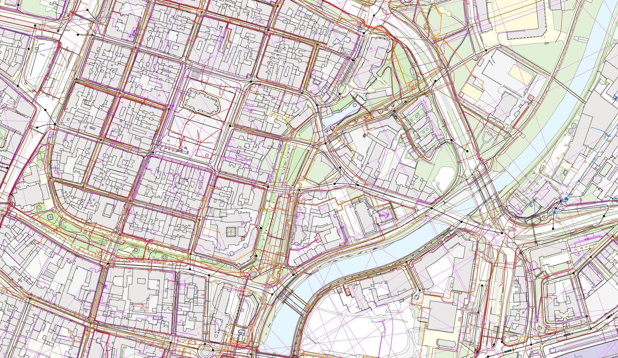

Regional DTM information system
A single technical map for the whole territory. Municipalities, network operators and the public all work over the same verified data.
Data from many different sources, complicated project coordination, a large territory that is demanding to manage. Rely on accurate geospatial data and surveying services for planning, administration and decision-making – Digital Technical Maps (DTM), aerial photography, spatial analytical materials (ÚAP) and geoportals from a single supplier.



Does this sound familiar?
We want our data clearly organised in one place, with the option of sharing it with the public.
Each department keeps its own records and sharing data across several agendas at once is complicated.
Digital Technical Map, spatial analytical materials, registers – every agenda with its own structure and deadlines.
Orthophotos five years old, cadastral survey plans and asset registers on paper.
There is no way to show the public what the outcome of an investment project will look like.
Why Georeal
We survey the data in the field and we build the software you will work with. No handovers between subcontractors.
Aerial photography, scanners, surveyors in the field. We are equipped for all of it.
We build geoportals, mobile applications and extensions for the software you are used to working in.
We cover every service across the field of surveying.
The region’s technical map
The digital technical map is maintained by the region as its administrator, and the data comes in from municipalities, utility network operators and surveyors. We deliver the information system the map is managed and published in, and we help with taking over and checking the data as well as surveying whatever is missing from it.
A single technical map for the whole territory. Municipalities, network operators and the public all work over the same verified data.

Data from municipalities, network operators and surveyors arrives in different formats and different quality. We unify and check it before it enters the map.

Anyone without the capacity to manage their own data can delegate editorship to us. They hand the data over in any format through Spirit DTI, and we take care of the conversion into the exchange format and the submission into your map.

Blank spots and completed structures we survey in the field and hand over ready for the update.
Regional DTM information systems
Data for the whole territory
A flight over the region is one contract that most of the other agendas live on. The same imagery yields an orthophoto for the authority, a 3D model for designers and elevation data for flood protection.
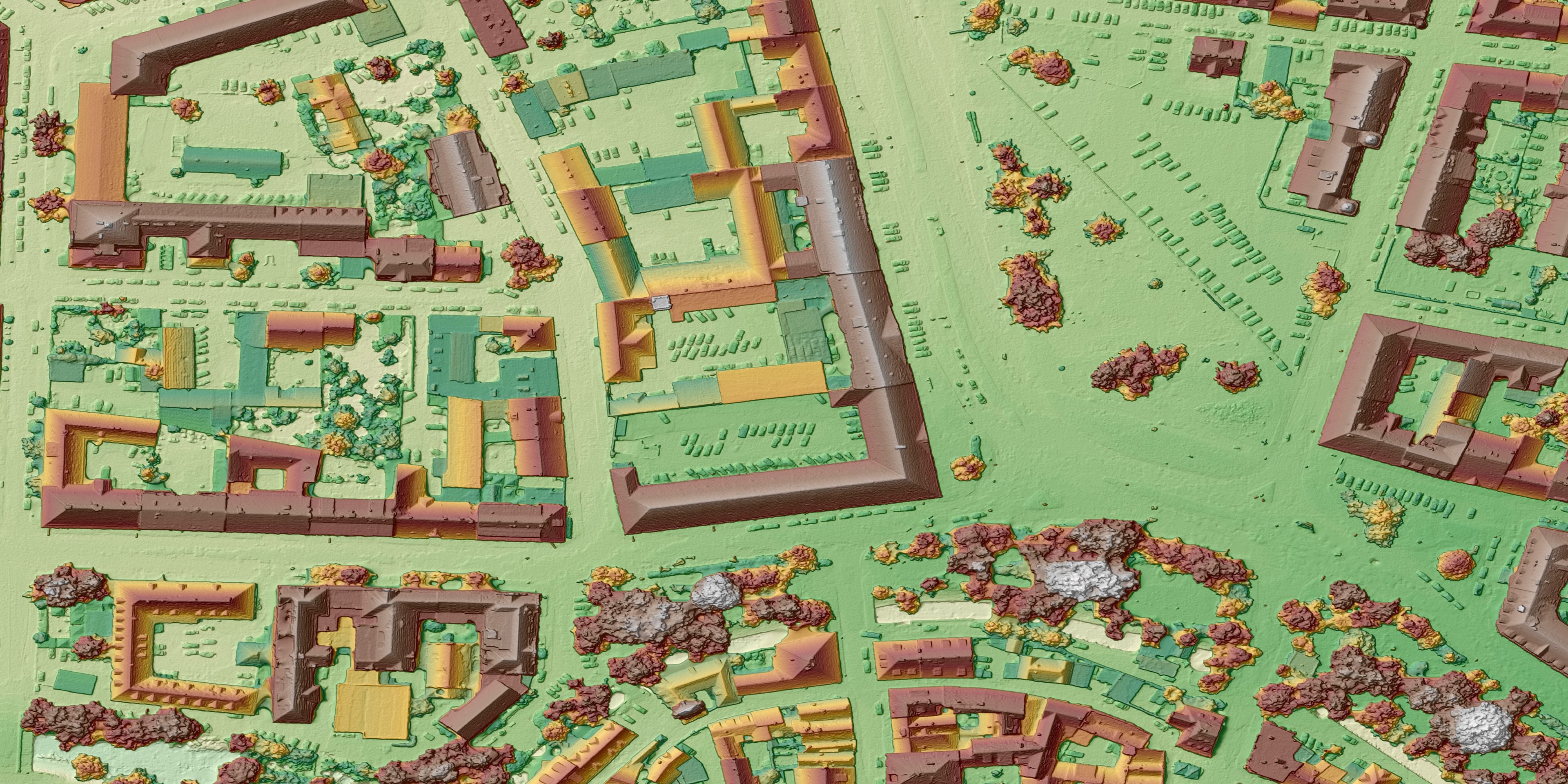

Vertical and oblique imagery, from which the orthophoto and the vector drawing are then derived.

Point cloud, terrain and surface models and a 3D model of the built-up area – the basis for analyses, noise, runoff and visualisations of planned projects.

Where a flight is not enough: roads from mobile mapping, structures from a scanner, reservoir beds, heat loss.
The authority and the public
Data that only one department works with is expensive and of little use. A geoportal opens it to the other departments, to municipalities and to the public – and registers and the cadastre can be read directly in the map instead of being retyped from the public viewer.
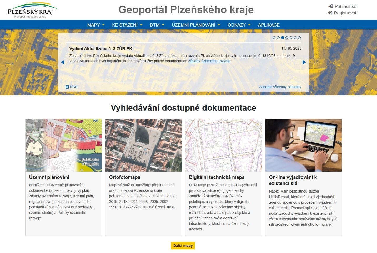

A public part for residents, a non-public part for the authority and for municipalities.

Ownership relations, address points and building data directly over the map of the region.

Buildings, roads and greenery managed by the region – every item with its own record.

You do not have to change your GIS. Extensions for ArcGIS and QGIS, and one-off data processing to order.
Regional geoportals we have delivered
Planning and investment
Spatial analytical materials and design preparation rest on the same data. We keep it in one structure from which the ÚAP can be submitted and a design drawn up.
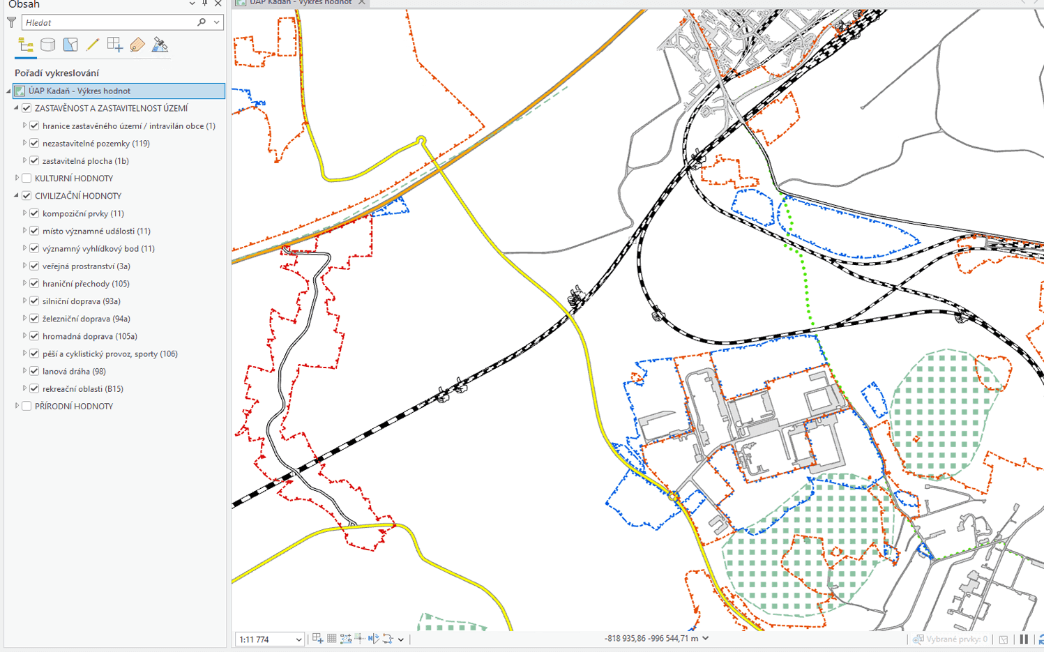

ÚAP phenomena maintained continuously, not only ahead of the submission deadline.

Roads, bridges, flood protection and ponds at every stage of the design documentation.
Where it is already running
Surveying work
Jobs that come up continuously – on roads, bridges, buildings and land managed by the region.

Dividing and merging parcels, easements, setting out a boundary in the field.
From setting out at the start of construction to the as-built survey at the end.

Tracking bridges, retaining walls and slopes over time.
How it works
The difference from a one-off contract is in what happens after the handover.
Data from departments, from municipalities and from network operators comes in different structures. We go through it, check it and convert it into a single data structure.
The data is published to departments, to municipalities and to the public – through the geoportal or as a data service.
New structures and changes in the territory come in from editors; whatever is missing, we survey. Without this step the data ages within two years.
Common questions from this industry
If you cannot find the answer to your question, do not hesitate to contact us.
We are involved in the DTM solutions of 12 regions in the Czech Republic – the individual systems are listed in our references.
For both. We have delivered regional geoportals to the Plzeň, South Bohemian and Ústí nad Labem regions, and municipal ones for Plzeň, Slaný and Jičín among others.
No. Besides our own applications we build extensions for both ArcGIS and QGIS, so the tools are added to the environment your people already know.
Not sure where to start?
We go through what data you already have and what condition it is in. From that we propose a step-by-step plan – you do not have to start with everything at once.