

Area of competence
Aerial photography and scanning
Aerial photography has been one of our core fields since the company was founded. With our own aircraft we cover contracts from single areas of interest to nationwide projects – nadir and oblique photography, LiDAR and thermal imaging under one roof. From the data acquired we produce orthophotos, digital terrain and surface models (DTM/DSM), 3D models of built-up areas and other specialised outputs matched to the customer's target system. Public administration wants up-to-date orthophotos and terrain models for spatial planning, asset management and the Digital Technical Map. Design offices, transport, energy and water management use our data as an input to BIM, GIS or CAD. Industrial sites and developers are drawn to periodic monitoring. Oblique imagery and 3D models open doors for heritage conservation, crisis management and urban planners. Aircraft, camera, crew and processing – we handle all of it with our own resources. Aerial triangulation, georeferencing and accuracy checks run in-house. No subcontractors, no downtime, clear responsibility for both the deadline and the quality.
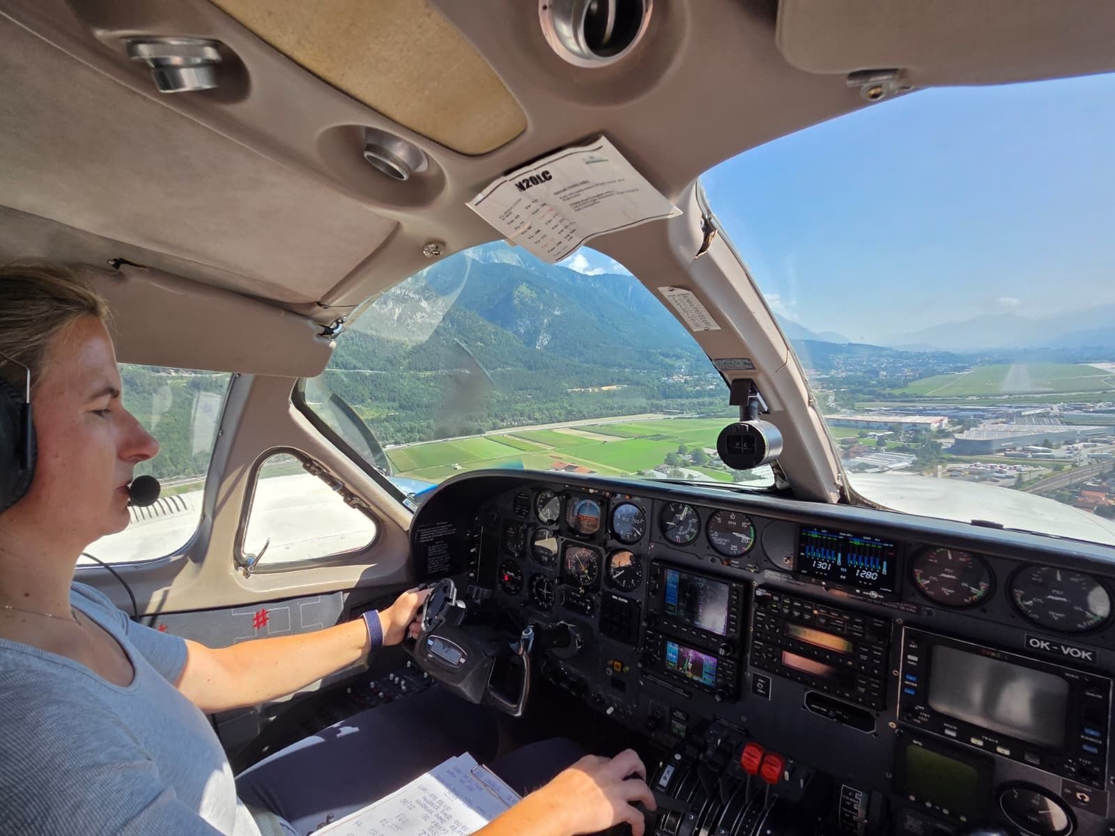
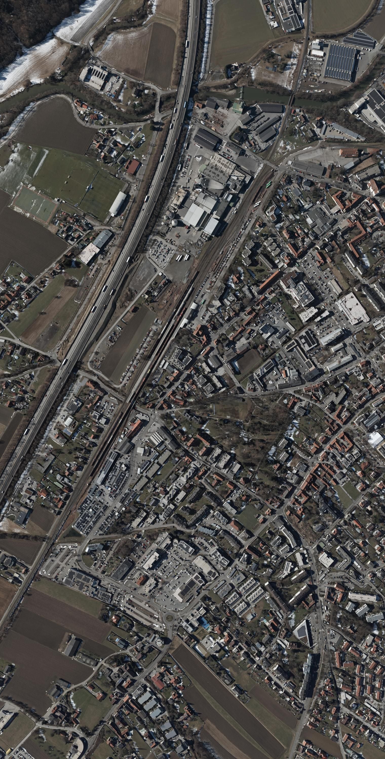
Nadir and oblique aerial imagery
We capture areas from our own aircraft with the best cameras on the market. A single flight campaign produces a dataset for spatial planning, design…
More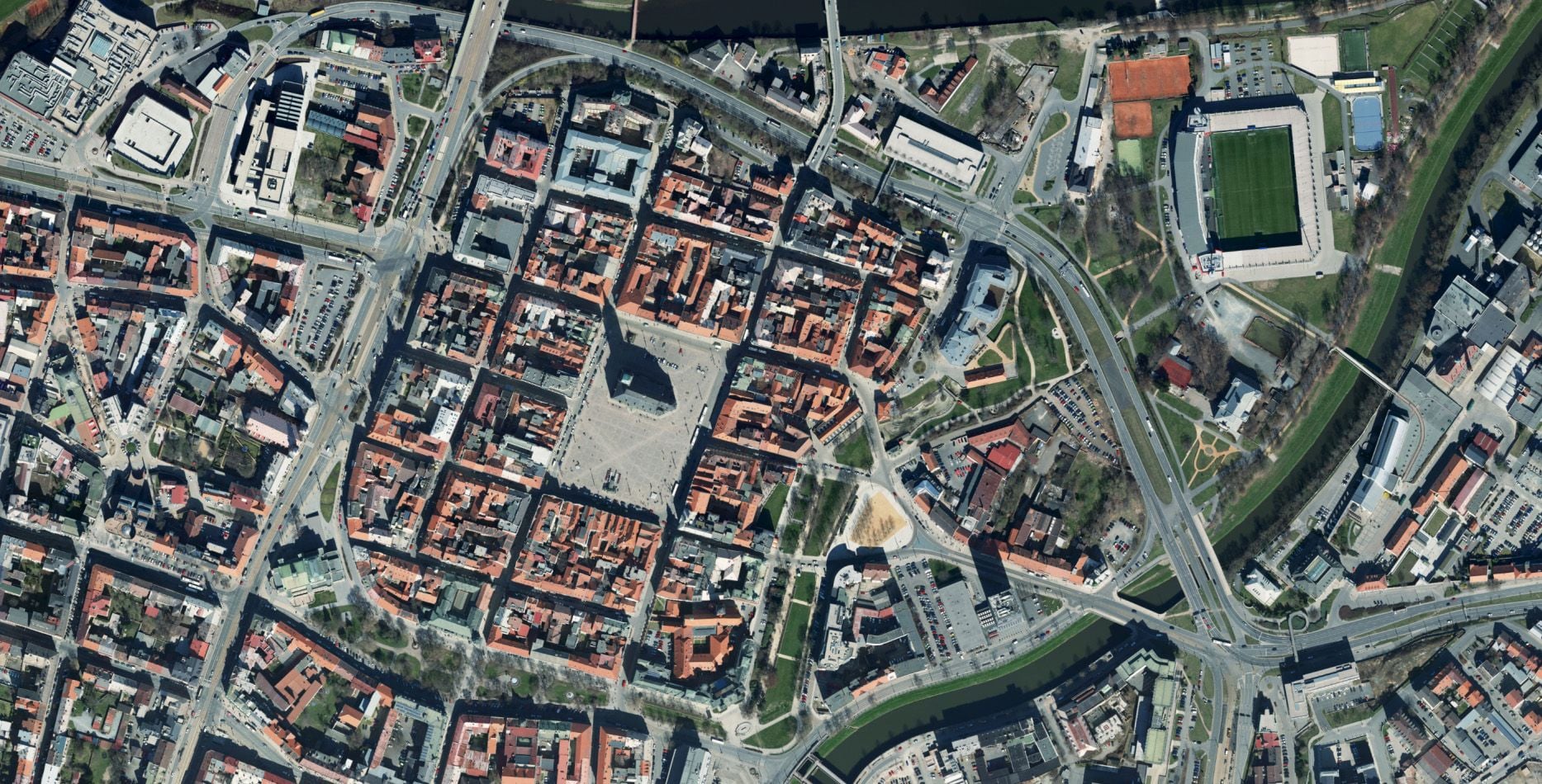
Orthophoto and true orthophoto
Accurate, measurable map bases that faithfully capture every detail of an area. The standard version for area-wide mapping, the true version for work…
More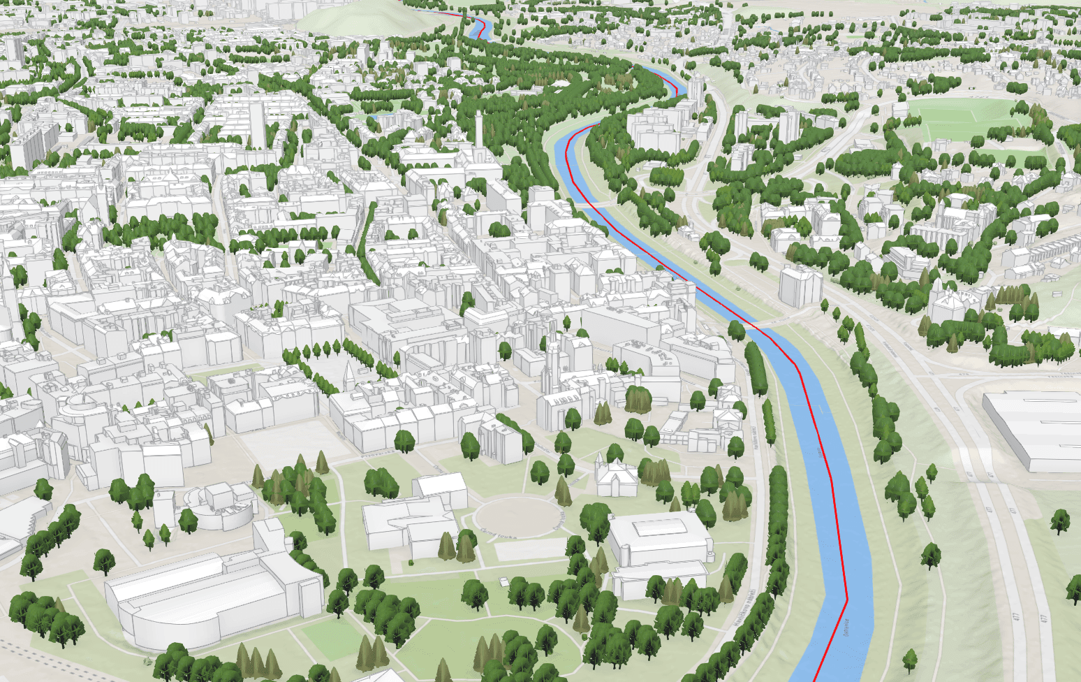
Photogrammetric mapping
From aerial survey imagery we map the planimetry and altimetry of extensive areas by 3D stereoscopy. At an image resolution of 5 cm we map features…
More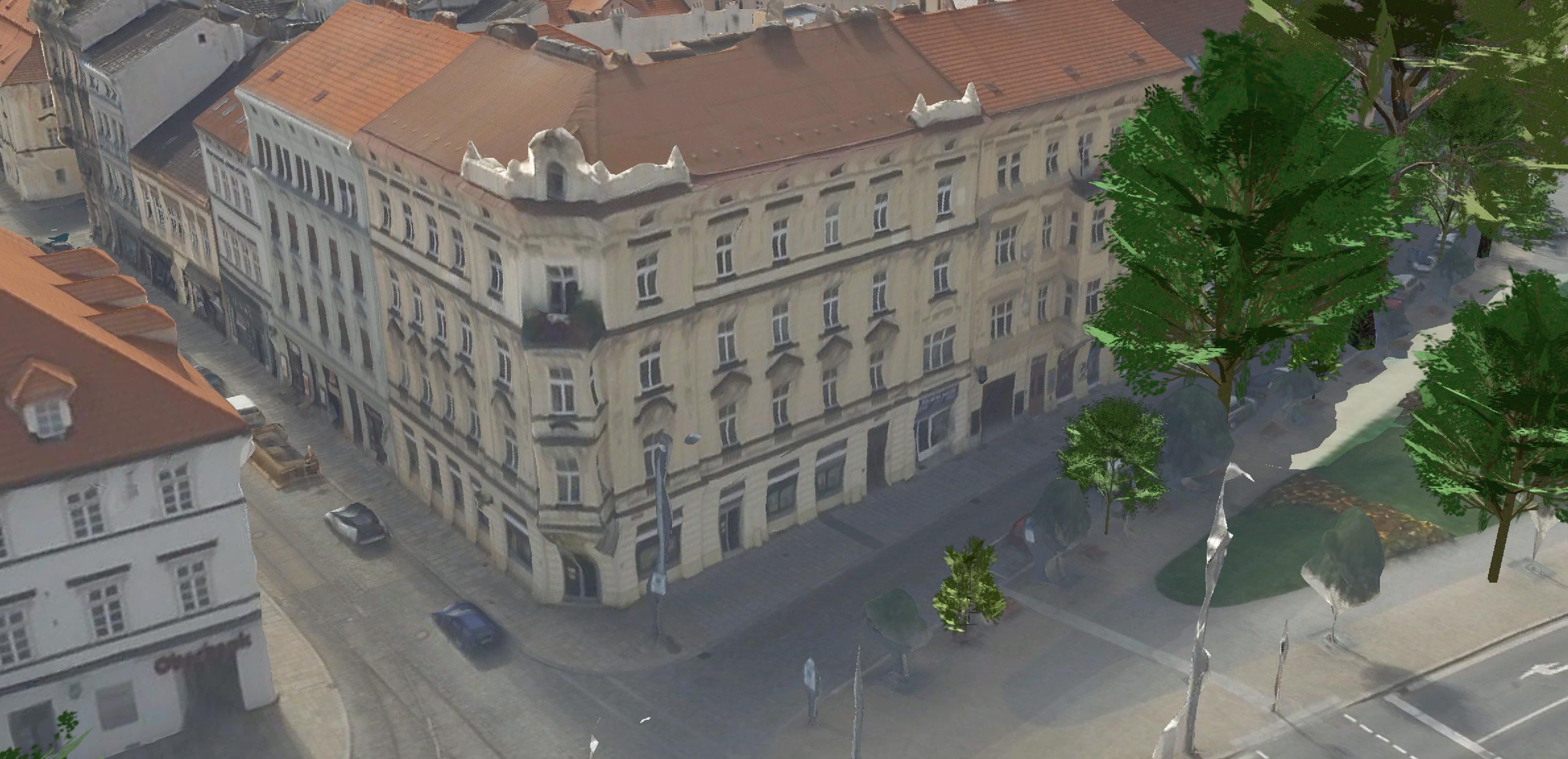
3D mesh models
Photorealistic 3D models of cities and sites created by combining nadir and oblique aerial imagery. Every facade, roof and stretch of terrain with…
More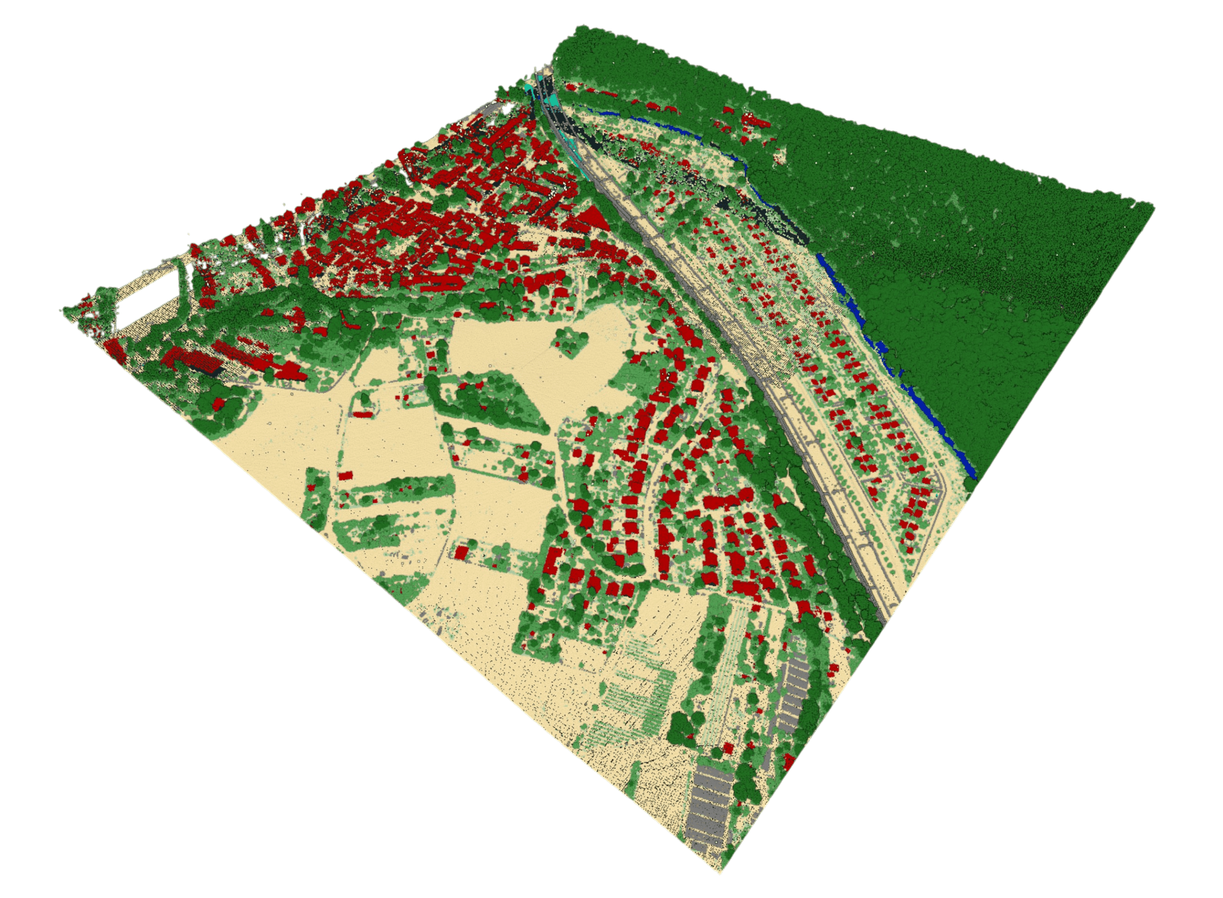
LiDAR point clouds
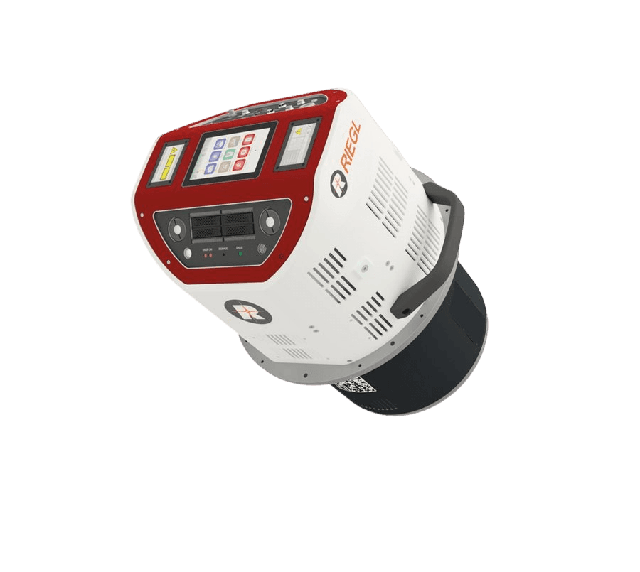
Airborne laser scanning gives us precise information about the elevation of an area – point clouds with a density of tens of points per m² and an…
More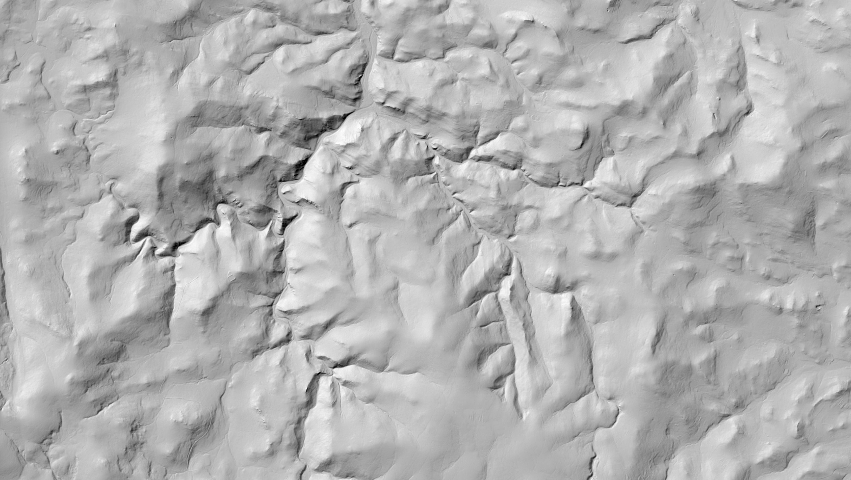
DSM / DTM models
A digital terrain model (DTM) captures the surface of the Earth without structures and vegetation; a digital surface model (DSM) includes them. We…
More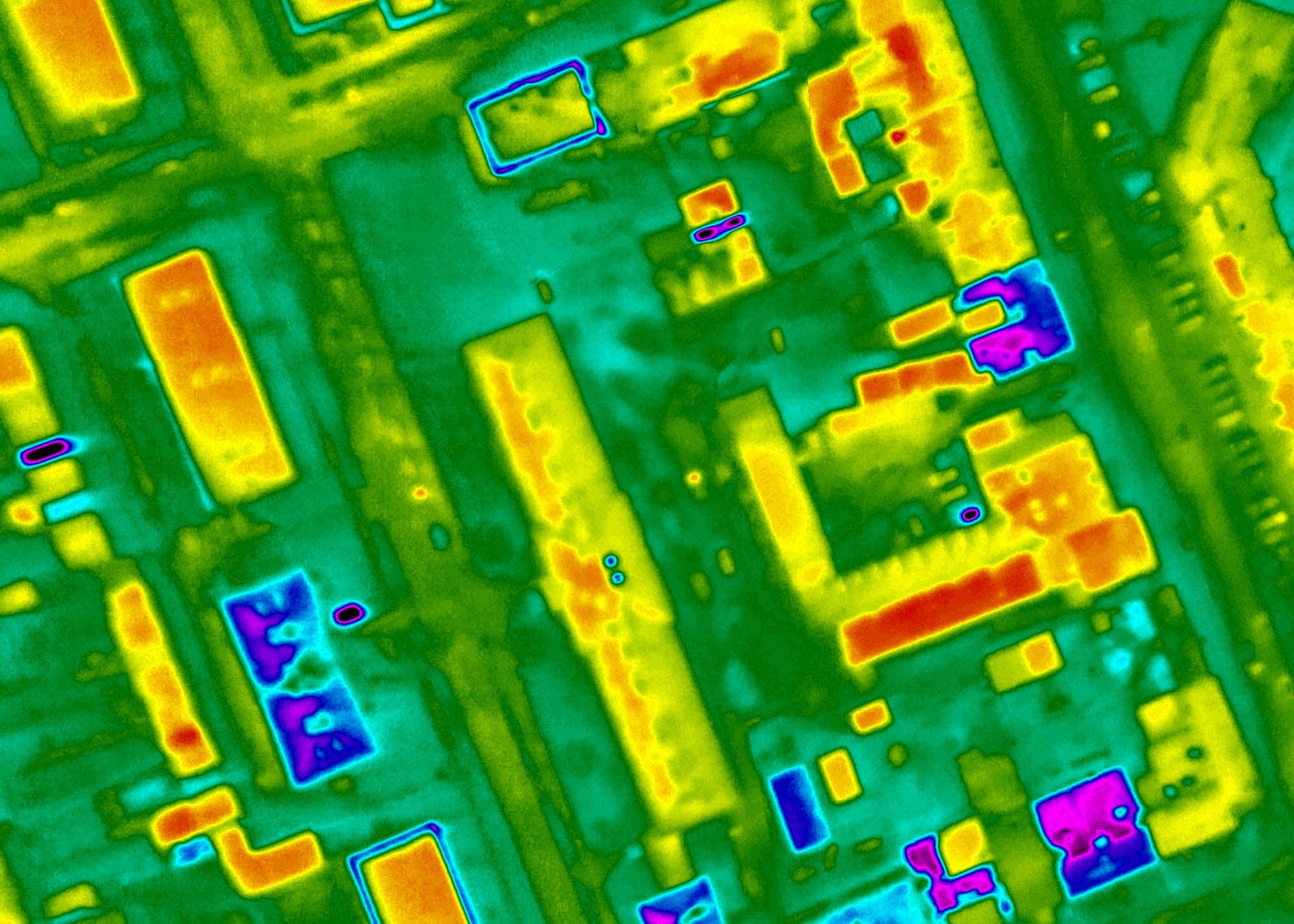
Thermal imaging
With thermal sensors on board the aircraft we record the surface temperatures of entire towns and industrial sites. The result is thermal maps with…
MoreKEY ASPECTS
Why aerial data from us
Our own aircraft, our own cameras – and one campaign that feeds several projects.

Our own aircraft and cameras
We plan and fly the campaign ourselves, so the schedule and the quality are ours to decide.

One flight, several datasets
A single campaign yields an orthophoto, a point cloud, terrain models and a 3D city model.

Sensor to suit the purpose
We combine nadir and oblique cameras, LiDAR, NIR and a thermal sensor according to what the output has to do.
Equipment and technology
How we do it
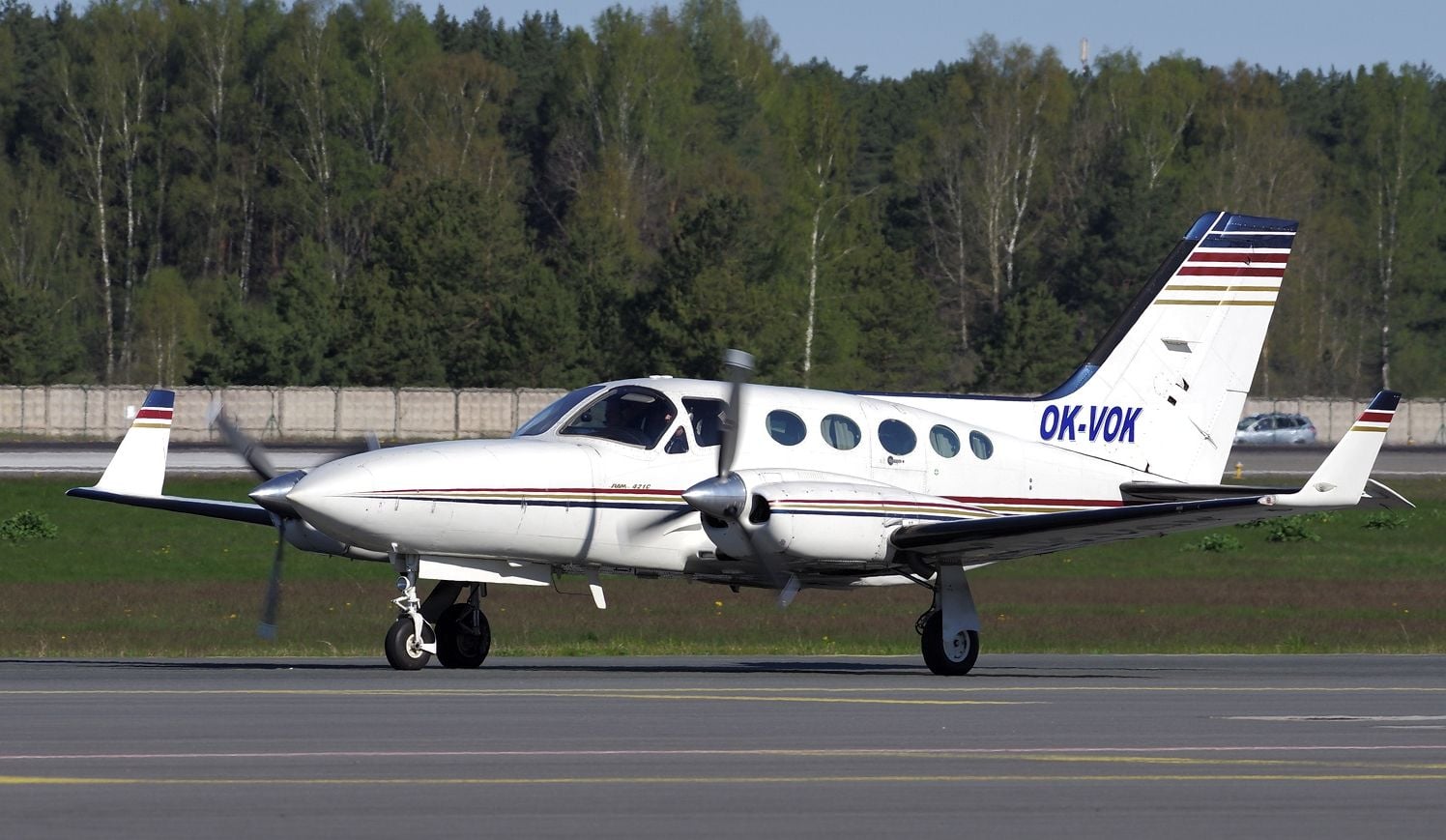
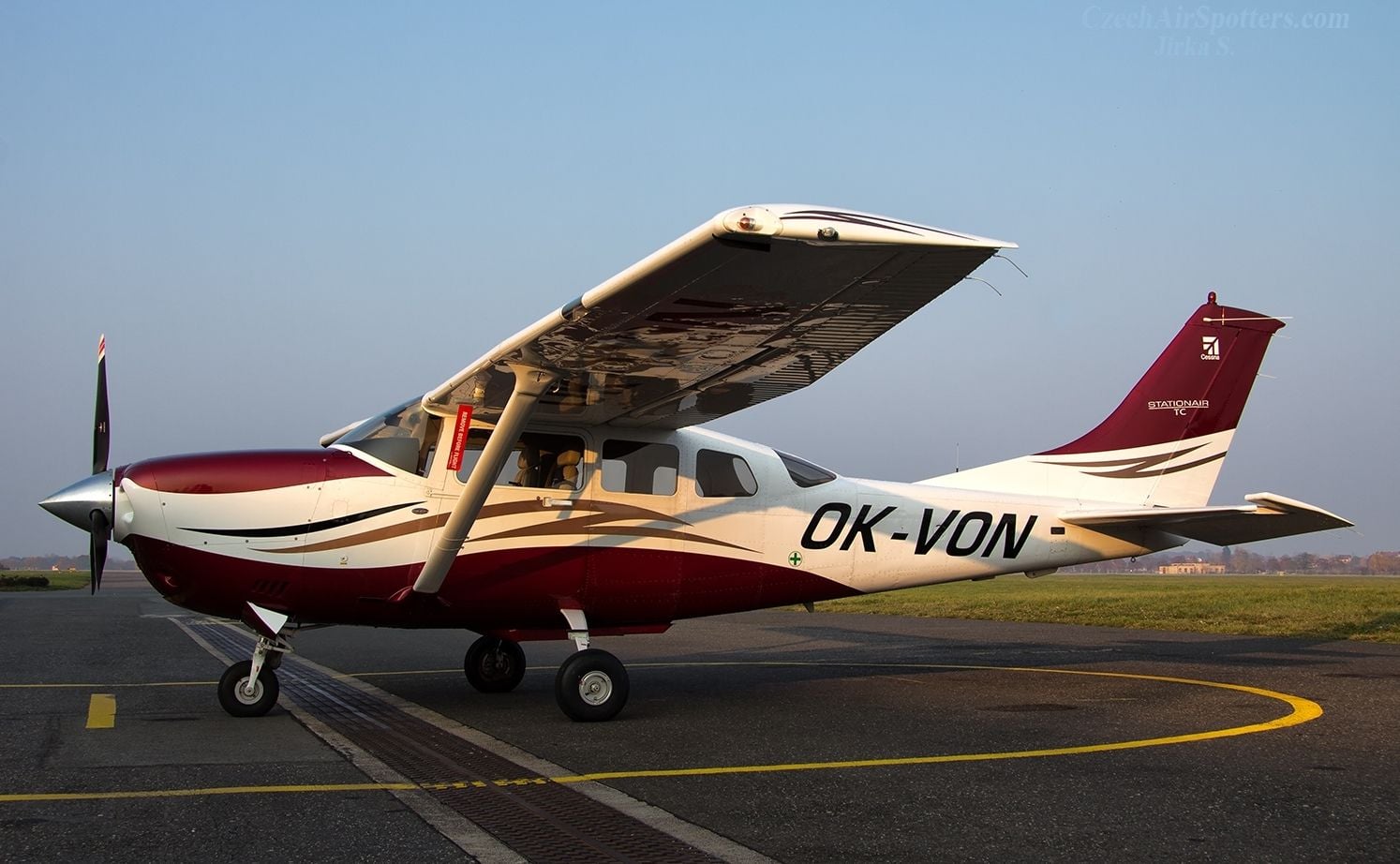
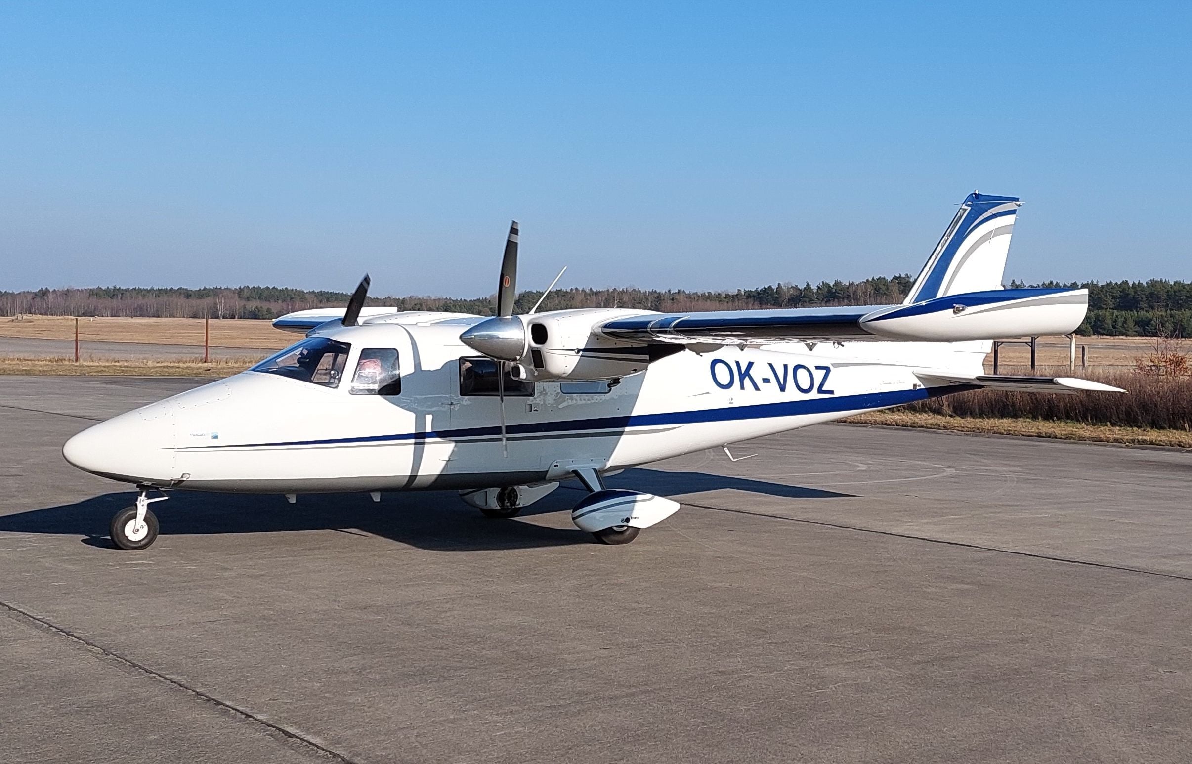
Own aircraft, cameras, and sensors – we acquire input data without external dependency.
Aircraft
4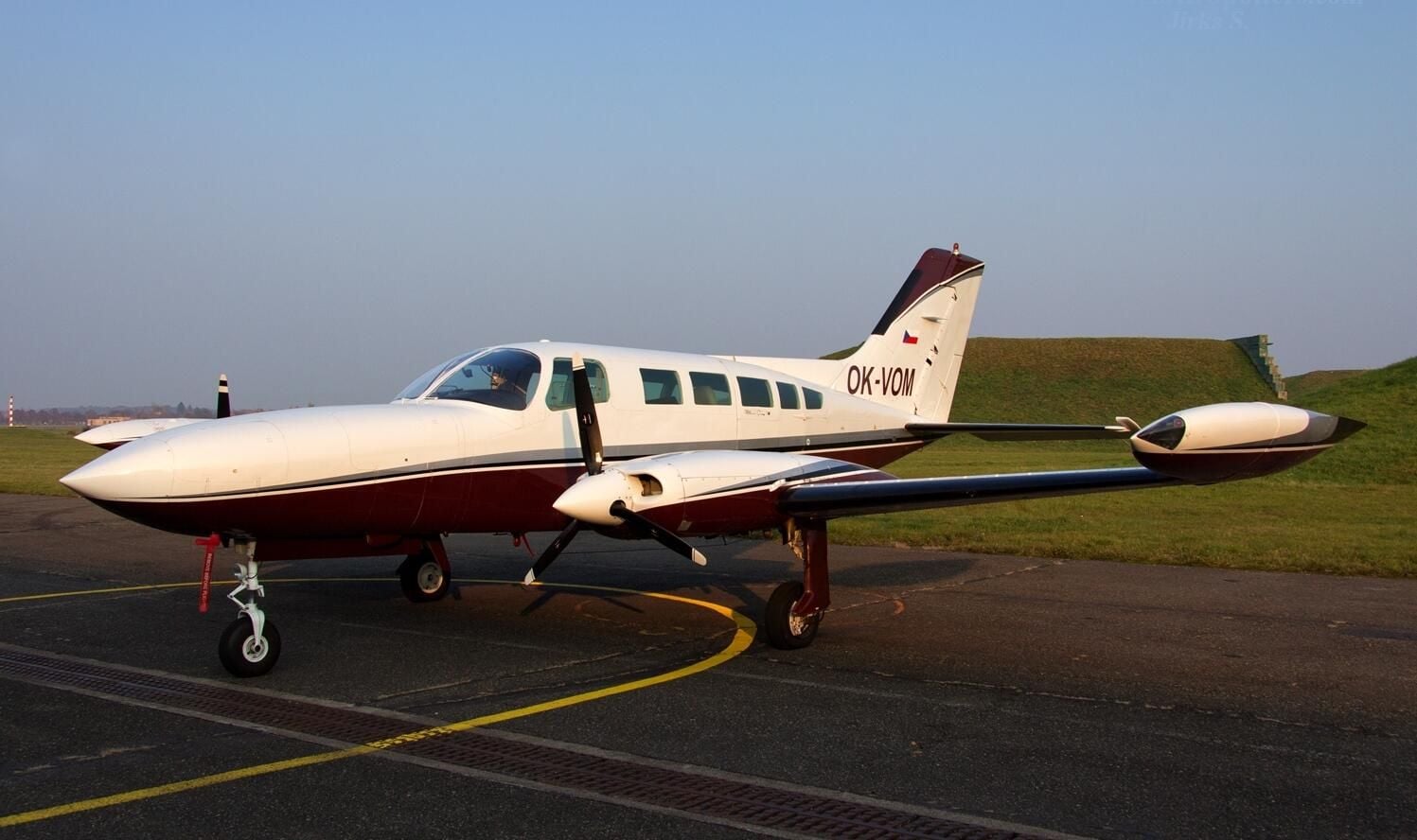
Cameras
4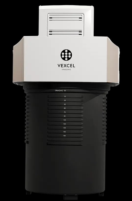
UltraCam Merlin 5.0
Extreme swath width – a giant sensor with 37 500 pixels for by far the fastest nationwide and area-wide mapping.
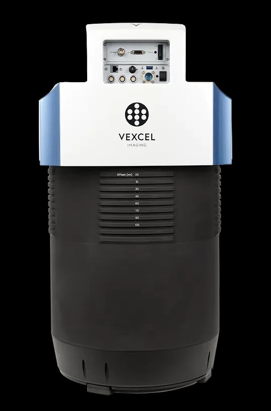
UltraCam Osprey 4.2
A five-camera hybrid – 1× nadir + 4× oblique imagery at 45° for 3D city models.
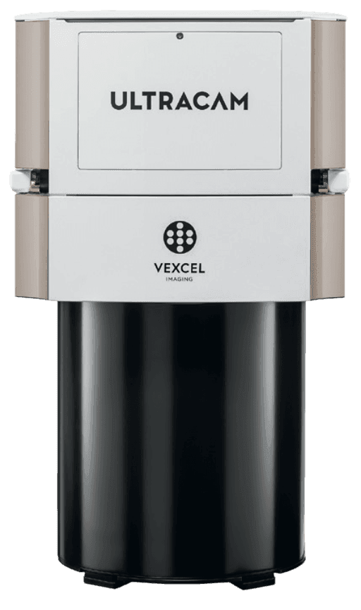
UltraCam Eagle M3
A versatile all-rounder for topography and corridor mapping from any altitude.
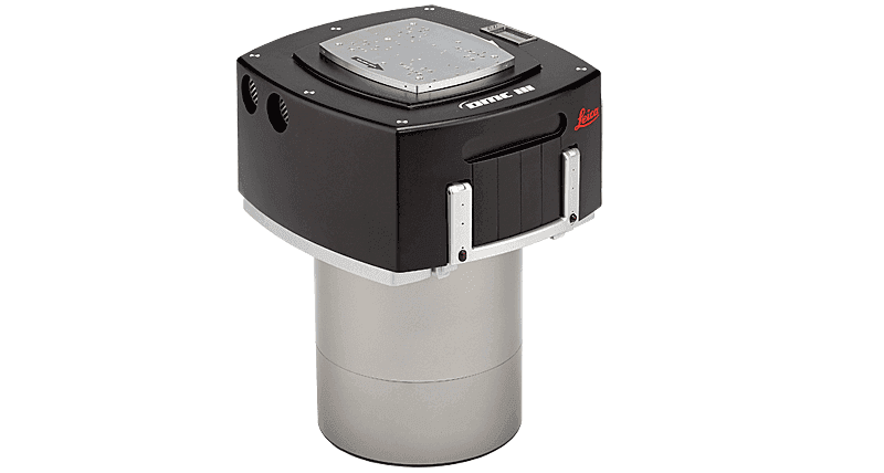
Leica DMC III
Monolithic precision – a five-head CMOS sensor for projects that need a high dynamic range and compatibility with the Leica system.
Not sure which product to choose?
Ing. Luboš Hübsch
Team leader