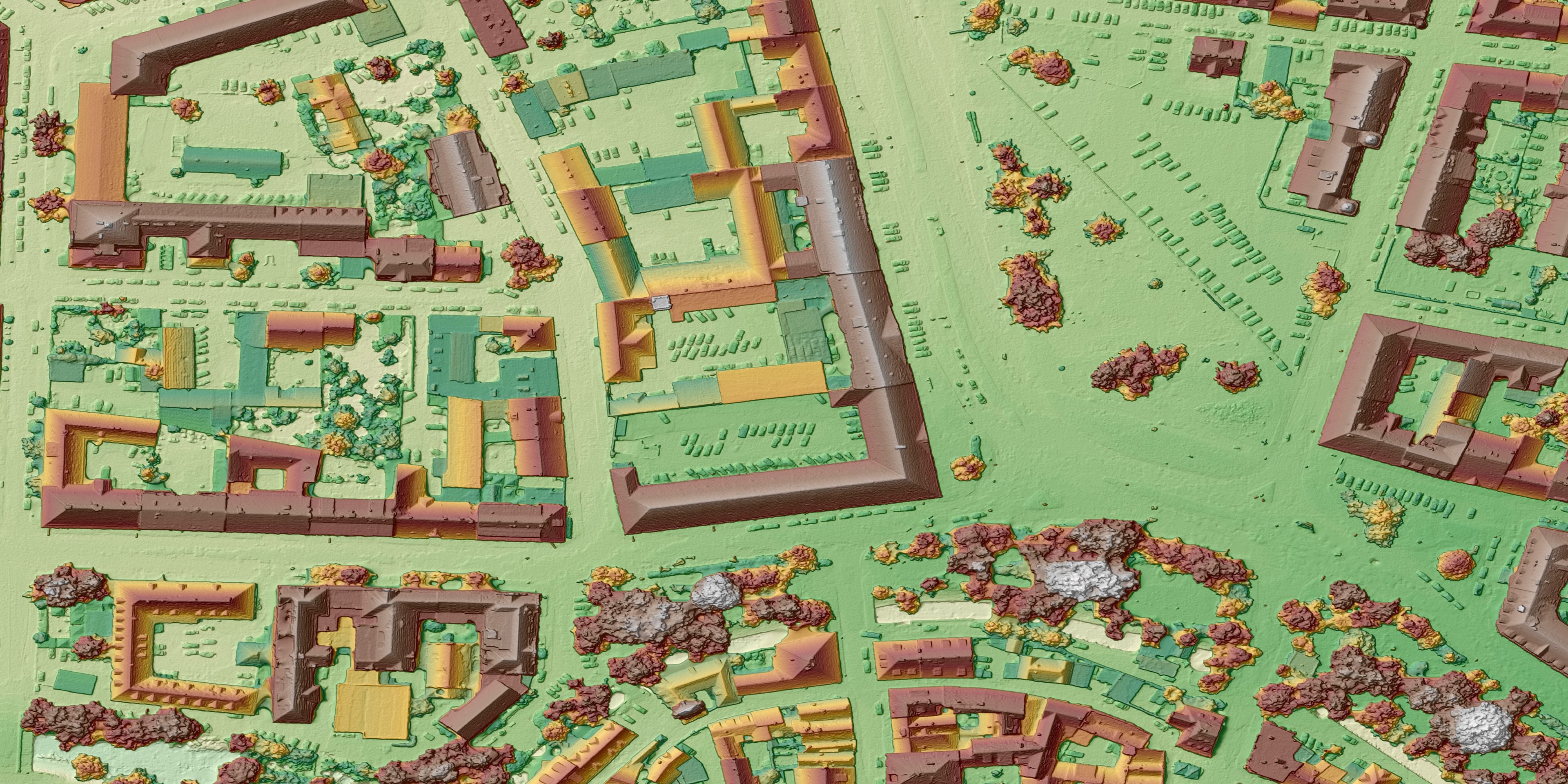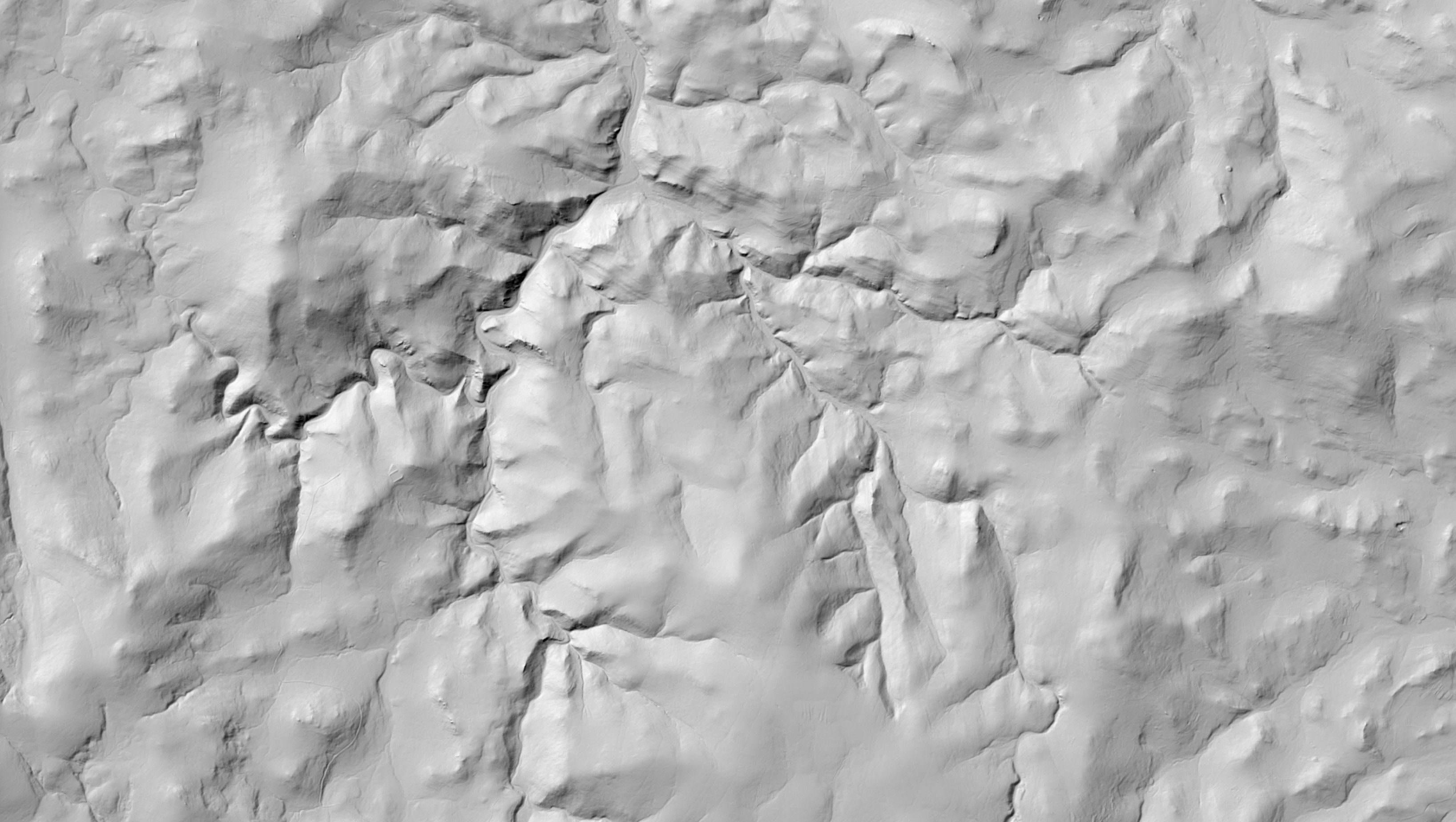
A digital terrain model (DTM) is a model of the surface of the Earth without structures, trees and other objects – the “bare earth” for design work, runoff analyses and volume calculations. A digital surface model (DSM) shows the surface including vegetation and buildings – an input for visibility analyses, telecommunications or the solar potential of roofs.
We create the models by 3D stereoscopy from aerial survey imagery or by deriving them from a classified LiDAR point cloud; the method is chosen according to the area and the required accuracy. We check quality on control areas and terrain break lines – it is precisely the mandatory break lines that distinguish a good model from an average one.
We deliver the output in the representation your software reads directly: contours, mandatory break lines, spot heights, triangulated networks (TIN), regular rasters (GRID), point clouds and MESH.