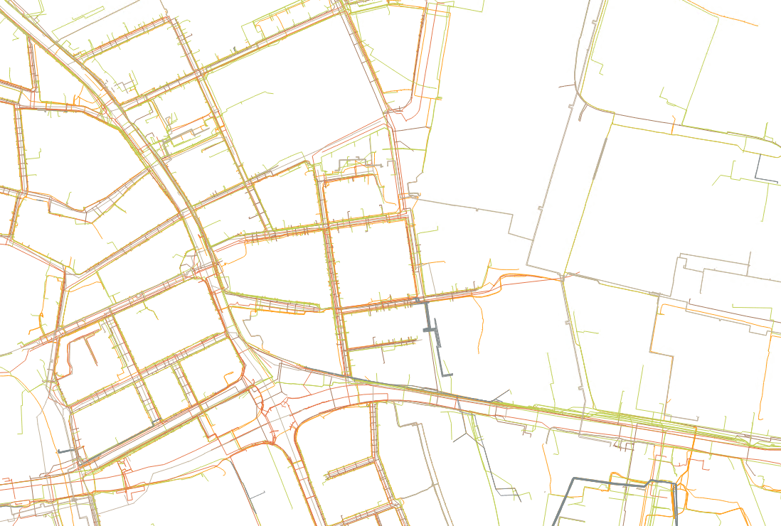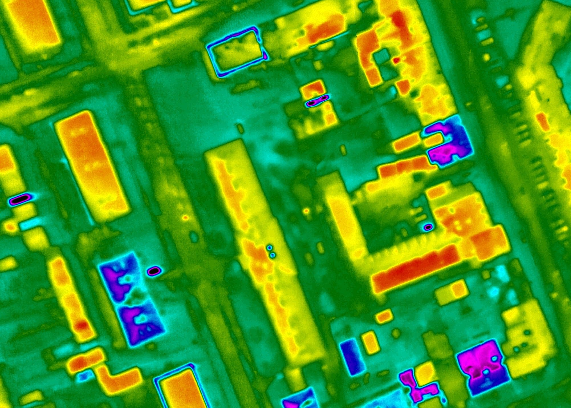
Integrated thermal sensors on board the aircraft produce thermal maps with a geospatial component – every pixel carries both a position and a temperature. Unlike ground-based thermal imaging, a single flight covers a whole settlement or industrial site, and the data can be overlaid directly on a map of buildings, networks or on an orthophoto in GIS.
Thermal diagnostics serve district heating operators for locating leaks in heating pipelines, and towns and building owners for area-wide identification of heat losses through roofs and for analyses of urban heat islands; in the environmental field it helps, for example, with monitoring outfalls into watercourses.
We fly at the times of year and times of day when the temperature contrasts are strongest – typically at night and during the heating season. Thermal data is combined with RGB imagery for easy orientation and interpretation.