

Nadir and oblique aerial imagery
We capture areas from our own aircraft with the best cameras on the market. A single flight campaign produces a dataset for spatial planning, design preparation, GIS, BIM, monitoring and 3D city models. Nadir imagery for area-wide maps, oblique imagery for 3D – or both at once.
Figures that speak
What we can do in practice
2 cm
GSD
150x
resolution
98 %
accuracy
32 b
colour depth
What it is for
Maps, 3D models, planning and much more
Quality data is the basis of everything. Whether you need an accurate map for spatial planning, documentation of the façades of a historic building, a photorealistic 3D city model or a quick overview of a large area, we approach every project individually and adapt the way we photograph it to your goal. In practice we cleverly combine two approaches – nadir and oblique photography – so that you get the maximum of useful information in the highest quality. From this data we then create the final products that you can rely on completely in further design work and decision-making.
Two approaches
Approaches
In practice we cleverly combine two approaches – nadir and oblique photography – so that you get the maximum of useful information in the highest quality.
Nadir image
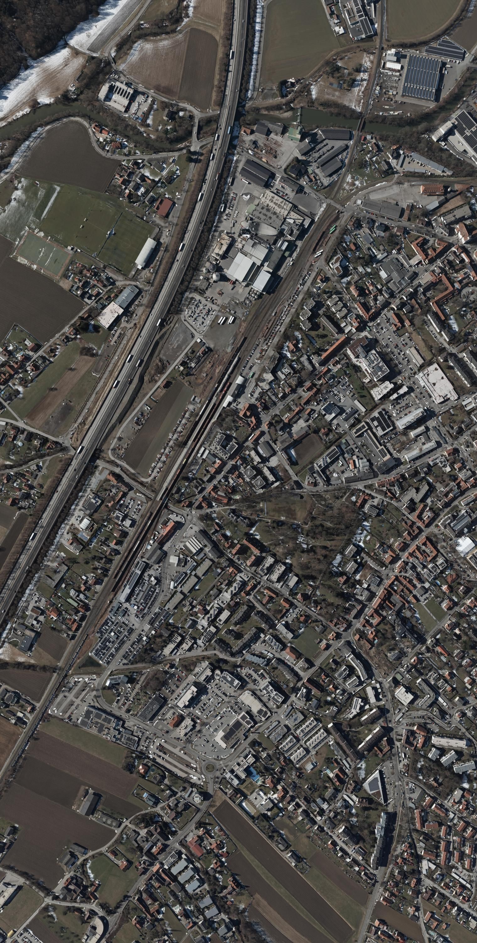
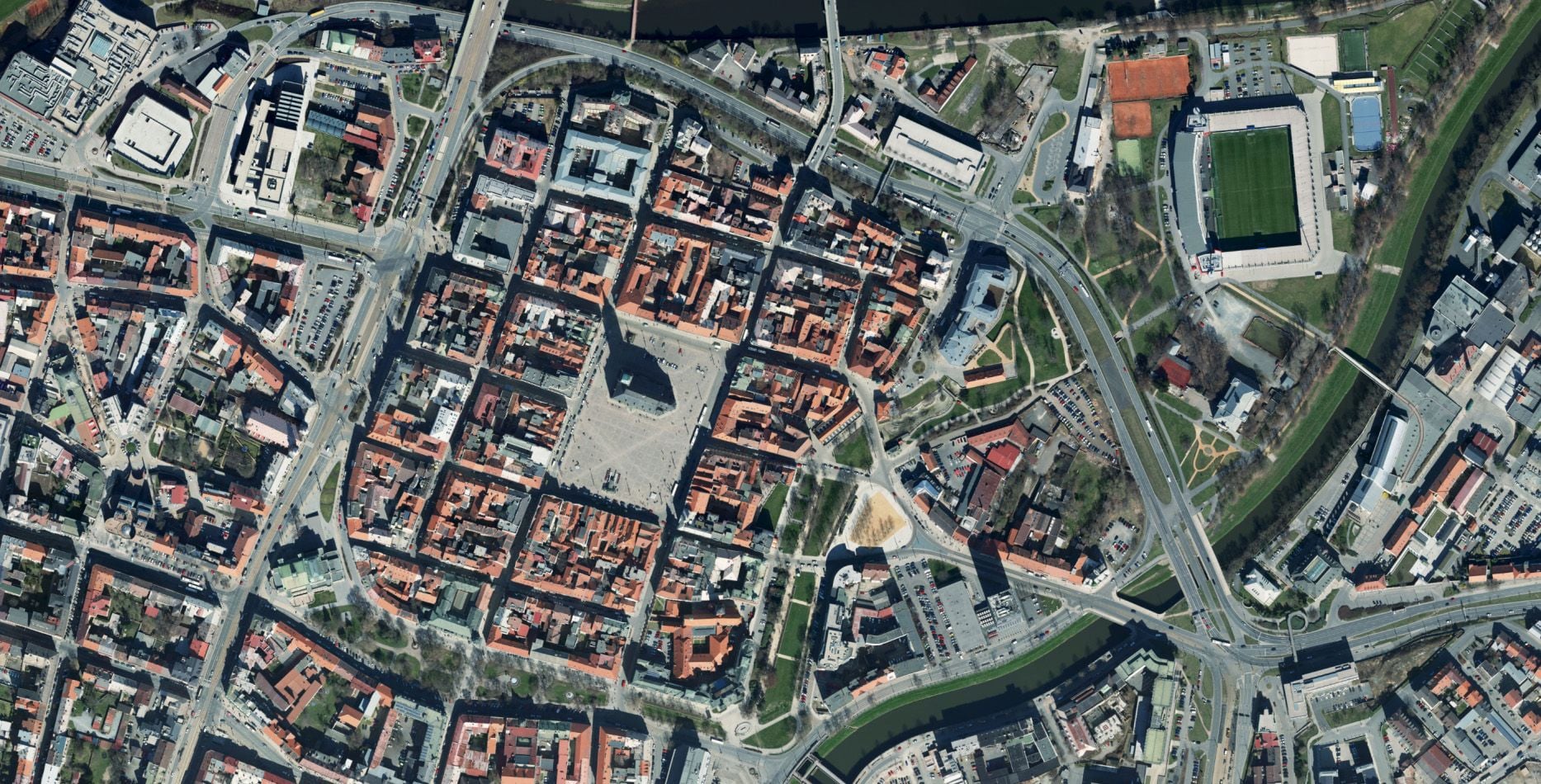
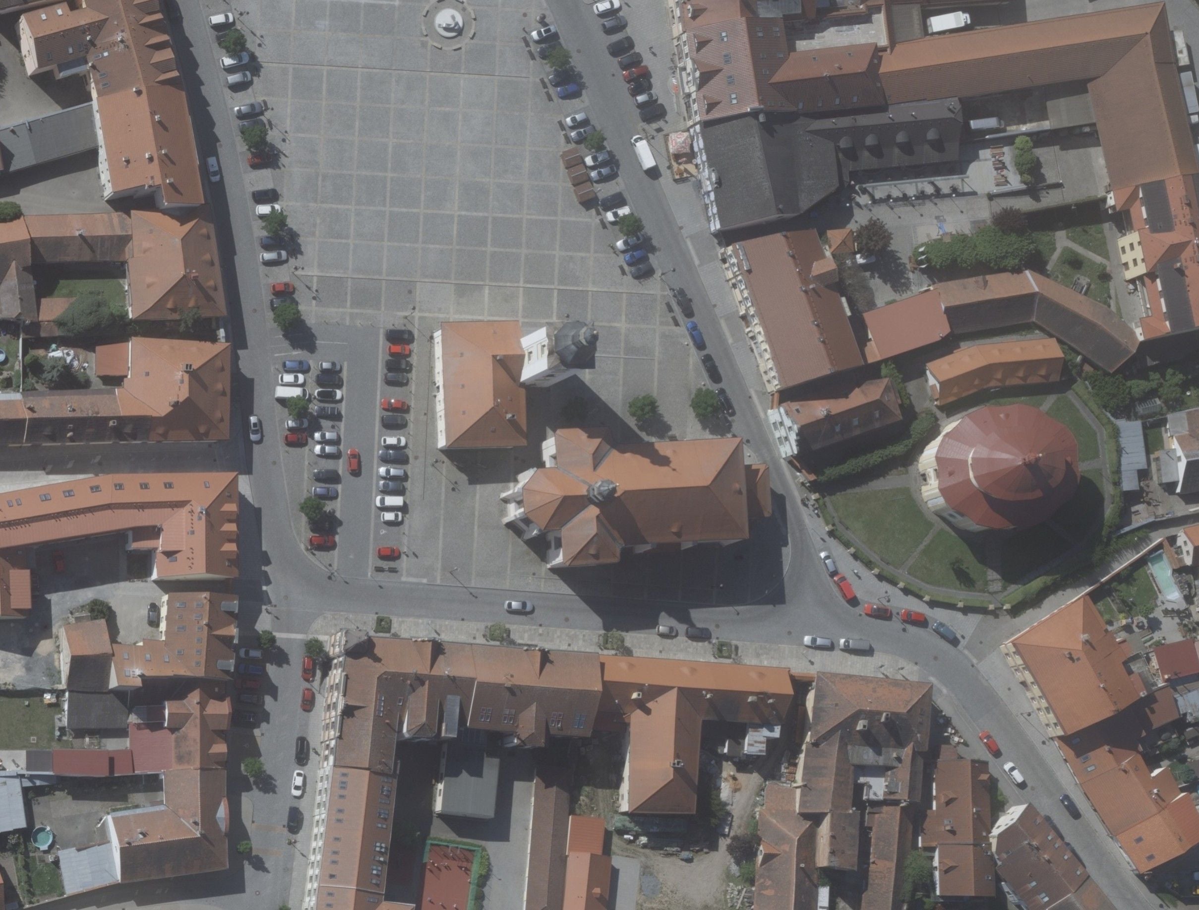
Nadir imagery is the absolute basis and thus the geometrically most accurate input. From this data we create seamless orthophotos, accurate digital terrain and surface models (DTM/DSM) or detailed vector maps.
Oblique image
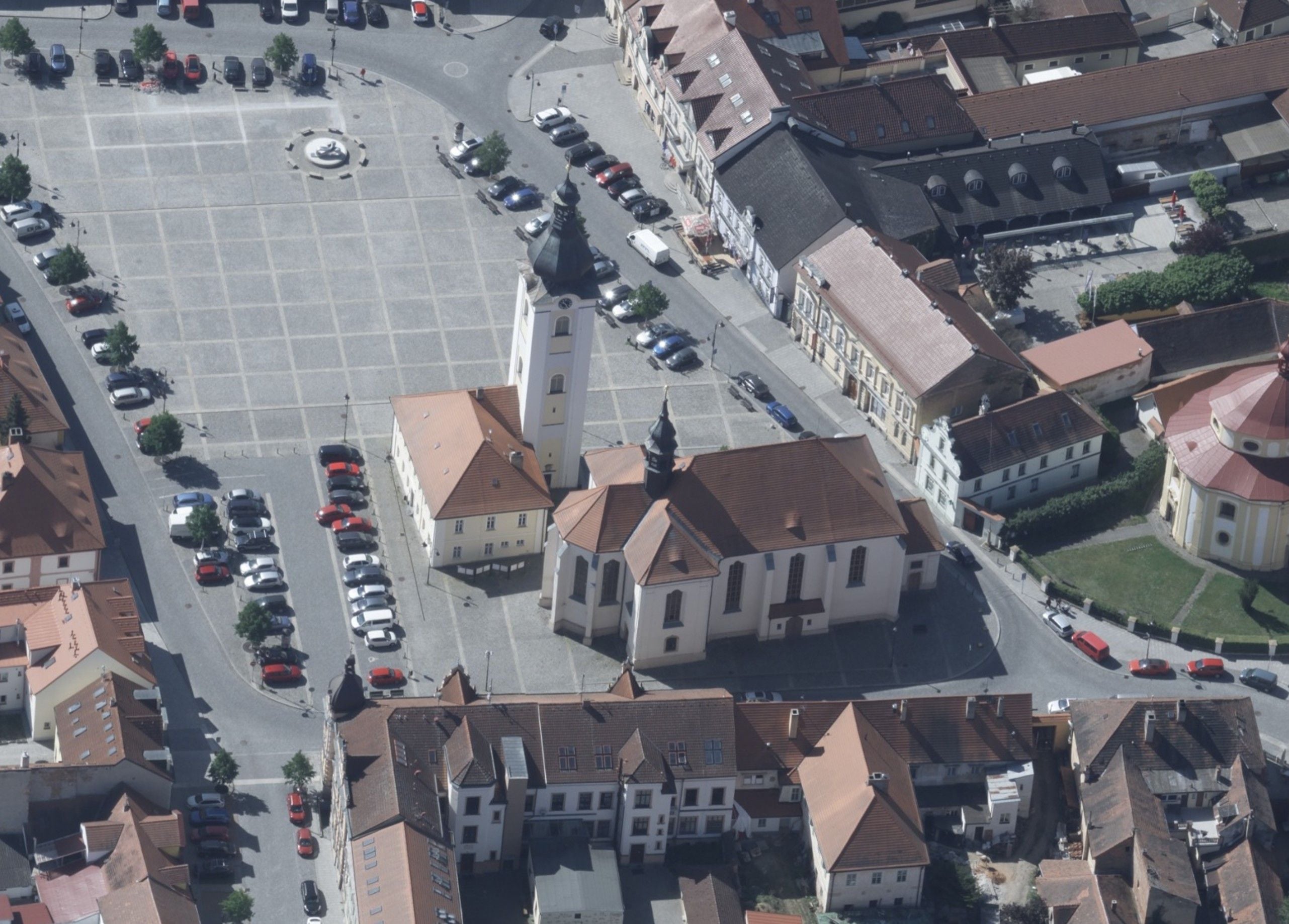
We photograph built-up areas or terrain from five directions at once. Every object is therefore captured from all sides and we “see behind the scenes”. It is oblique imagery that makes photorealistic 3D models possible, for example. You see façades, terrain and context, not just a footprint.
Two approaches
Approaches
In practice we cleverly combine two approaches – nadir and oblique photography – so that you get the maximum of useful information in the highest quality.
Nadir image
Nadir imagery is the absolute basis and thus the geometrically most accurate input. From this data we create seamless orthophotos, accurate digital terrain and surface models (DTM/DSM) or detailed vector maps.
Oblique image
We photograph built-up areas or terrain from five directions at once. Every object is therefore captured from all sides and we “see behind the scenes”. It is oblique imagery that makes photorealistic 3D models possible, for example. You see façades, terrain and context, not just a footprint.
Products
Everything you can receive

Nadir & oblique imagery
Façades, gables and roofs from an orthogonal view and from N/E/S/W. Input for a 3D model or for documentation.
JPEG / TIFF
Orthophoto
A geometrically accurate aerial map created from nadir imagery. We supply it in the required resolution, coordinate system and tiling structure for direct use in GIS, design work, asset registers and web mapping applications. Depending on the purpose we prepare a quick overview base or a detailed orthophoto with a GSD of a few centimetres, including colour balancing, clipping to the area and related layers.
TIFF / ECW / JP2
DTM / DSM
Digital terrain and surface models for design and GIS applications.
LAS / XYZ / GeoTIFF
Photogrammetric mapping
From the captured imagery we produce finished products exactly to your brief. From map bases through 3D models of entire towns and sites to asset management. If your demands on geometric detail are at the very highest level (in densely forested terrain, for example), we can seamlessly combine photogrammetry with airborne LiDAR data as well.
TIFF / ECW
3D mesh model
A photorealistic 3D city model from a combination of nadir and oblique imagery.
OBJ / FBX / 3DTiles
WebApp viewer
A web application for viewing oblique imagery with no installation.
web (HTTPS)Suitable for
All solutionsCommon questions
What you ask us most.
Nadir imagery points vertically downwards – ideal for maps, orthophotos and vector evaluation. Oblique imagery taken at ~45° from four azimuths captures façades, gables and roofs – the input for 3D models, asset management and crisis management. We often combine the two in a single flight campaign.
When you need to see the façades and side walls of buildings – asset management of heritage buildings, spatial planning with visualisation of structures in a 3D context, crisis management (a virtual reconnaissance before an intervention) or input for CityGML LoD2/LoD3.
As standard we fly from 3 cm. For special projects (heritage buildings, infrastructure) we go down to 2 cm. The limit is set by atmospheric visibility and the required area efficiency.
Yes. As standard we supply S-JTSK (national grid) and ETRS89, and on request UTM, WGS84 or local systems. Transformations are carried out with certified parameters.
A web application in which the user sees the area from four azimuths (N/E/S/W), can measure distances and heights, annotate objects and share a link to a particular view. It runs in the browser and requires neither a GIS client nor any installation.
Enquiry
Have a project where aerial photography would help?
Tell us the extent of the area, the GSD you need and whether you want nadir, oblique or both – we will come back with an offer.
Contact an expert
Ing. Luboš Hübsch
Team leader