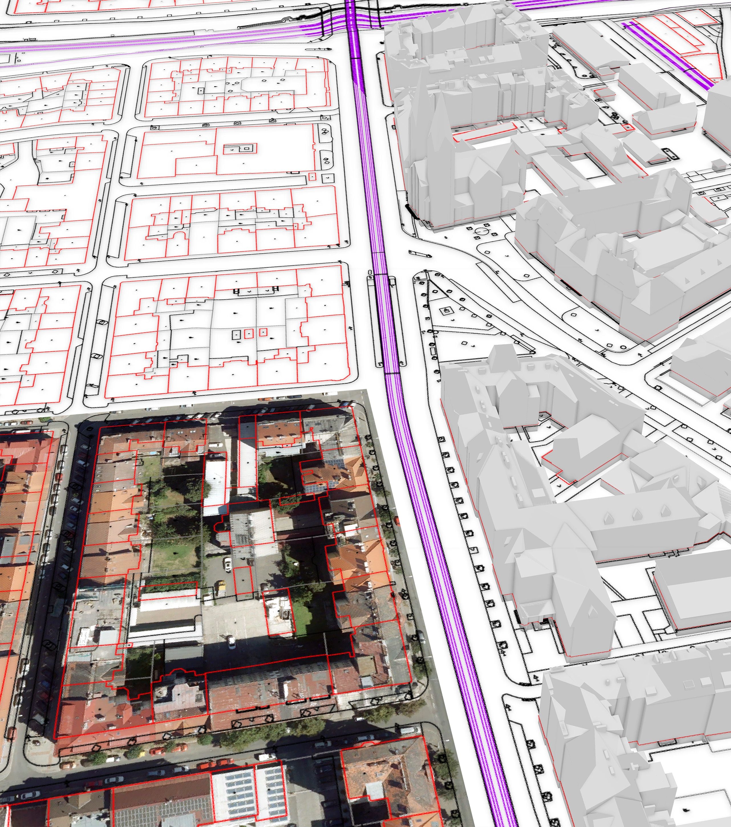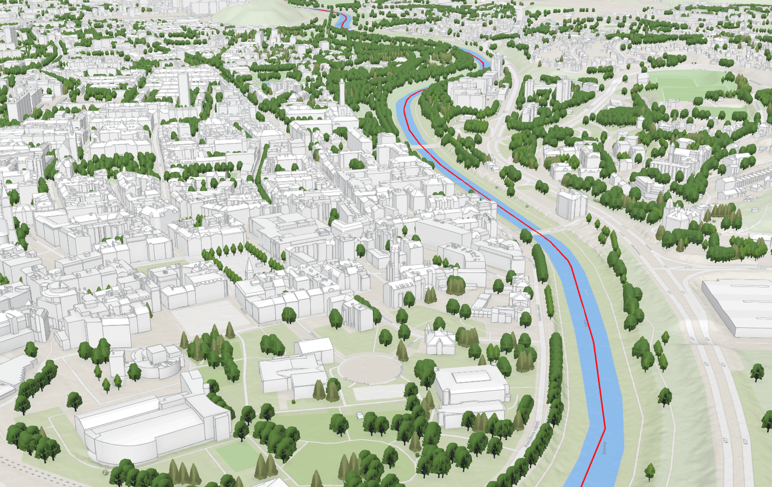
Experienced operators evaluate the aerial survey imagery at stereoscopic workstations: they see every object in 3D and vectorise the planimetry and the altimetry directly in space. The result is a special-purpose map – buildings, roads, surfaces, vegetation, terrain break lines and other features according to the agreed data model.
At a ground resolution of 5 cm we map at a scale of 1 : 500 to class 2–3 accuracy. The content and the structure of the drawing are tailored to the purpose – from base data for design work through technical maps of towns to data for GIS and Digital Technical Maps.
The input is our own aerial imagery, so the whole chain – flight, aerotriangulation, evaluation, checking – runs under one roof and we take full responsibility for the result.