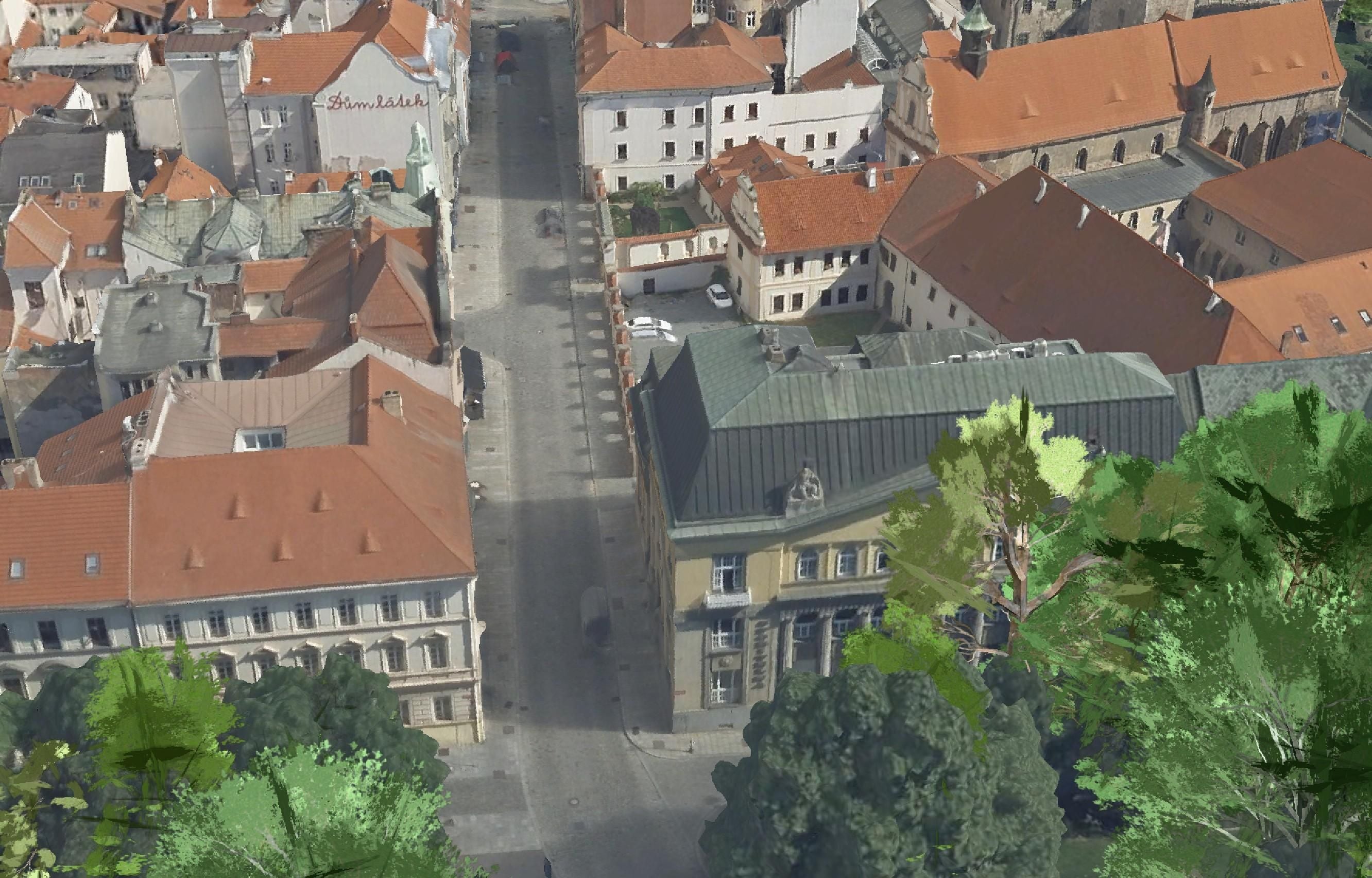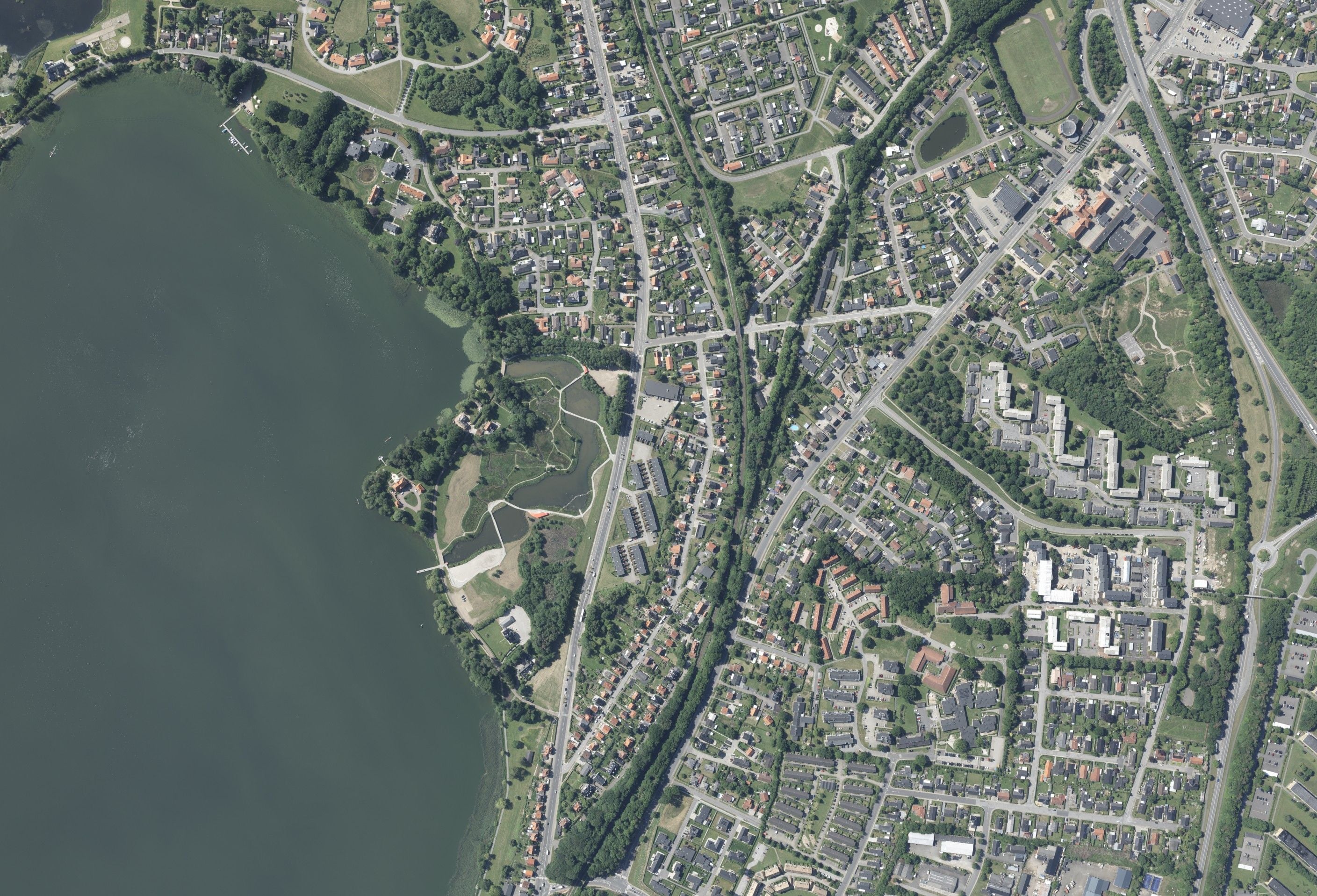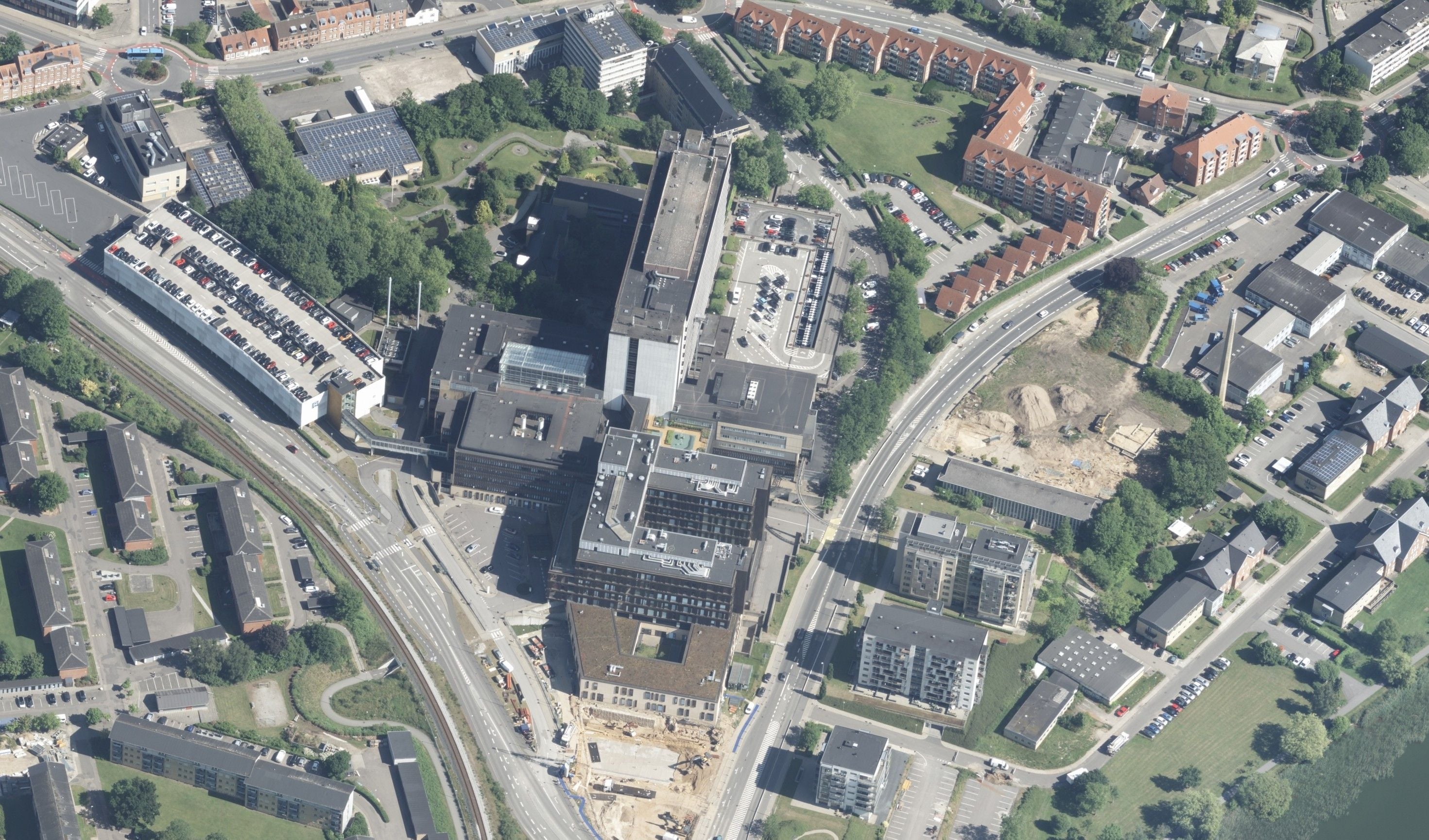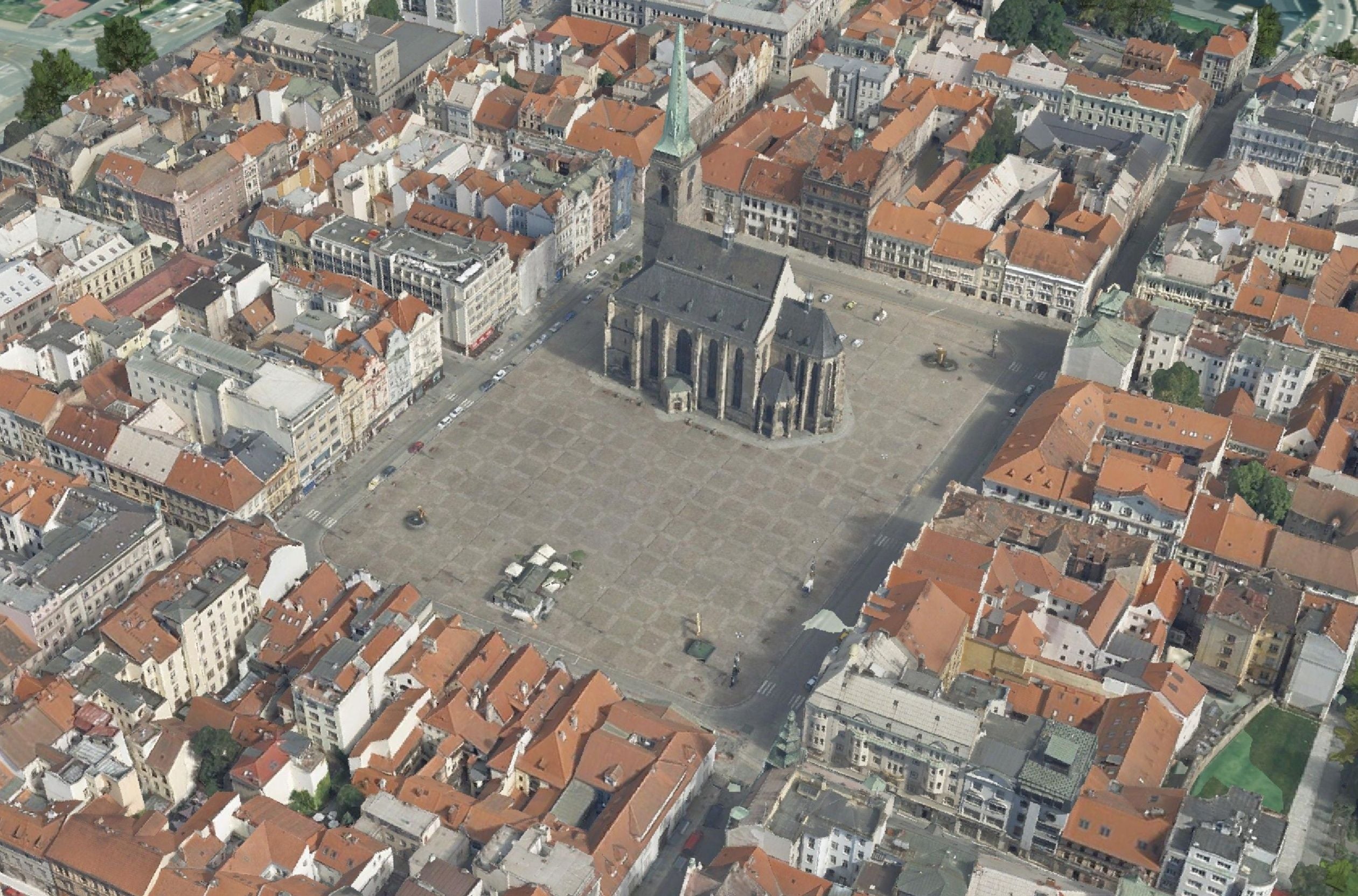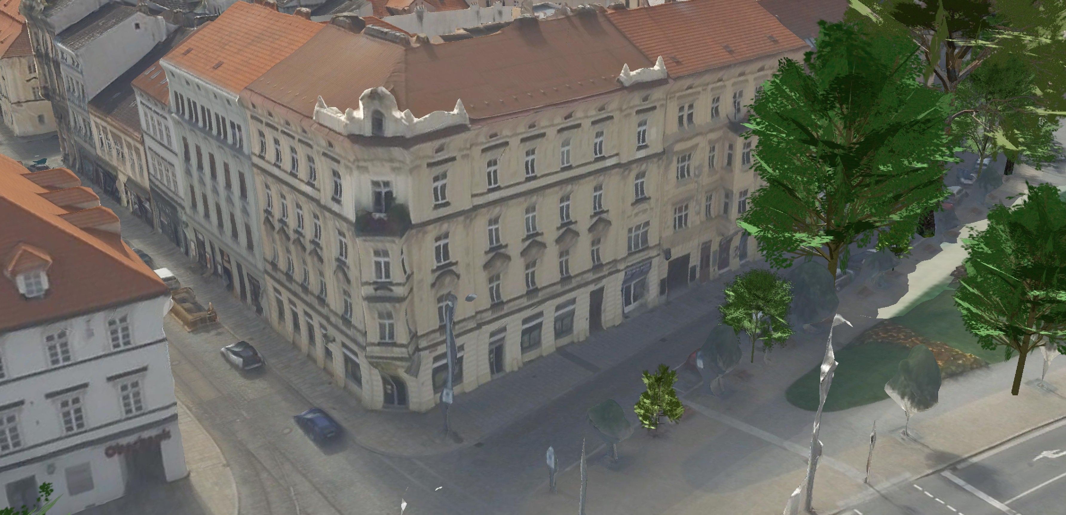
The model is produced by automatic image correlation of aerial imagery with a high overlap: nadir imagery supplies the geometry of roofs and terrain, oblique imagery from five directions adds facades and side views. The result is a photorealistic 3D model of the whole area, in which distances, heights and areas can be measured.
Where geometric cleanliness matters more than photorealism – for calculations and simulations, for example – we produce 3D building models stereoscopically at levels of detail LoD1/LoD2 in DGN, DWG, SHP or CityGML format.
We hand mesh models over in standard formats, including tiled 3D Tiles for smooth display in web viewers – so you can open the city model in a browser without any special software.