

Area of competence
Mine surveying
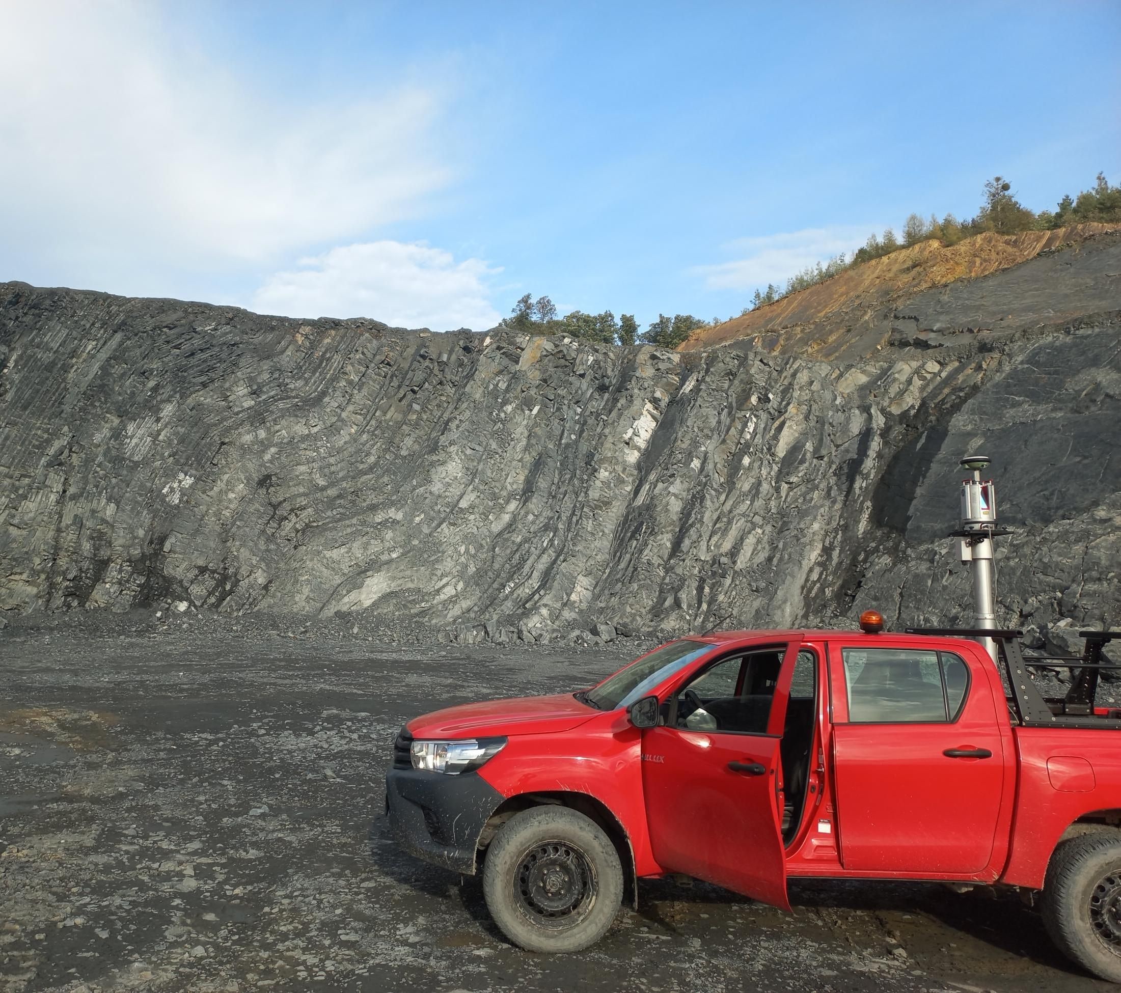
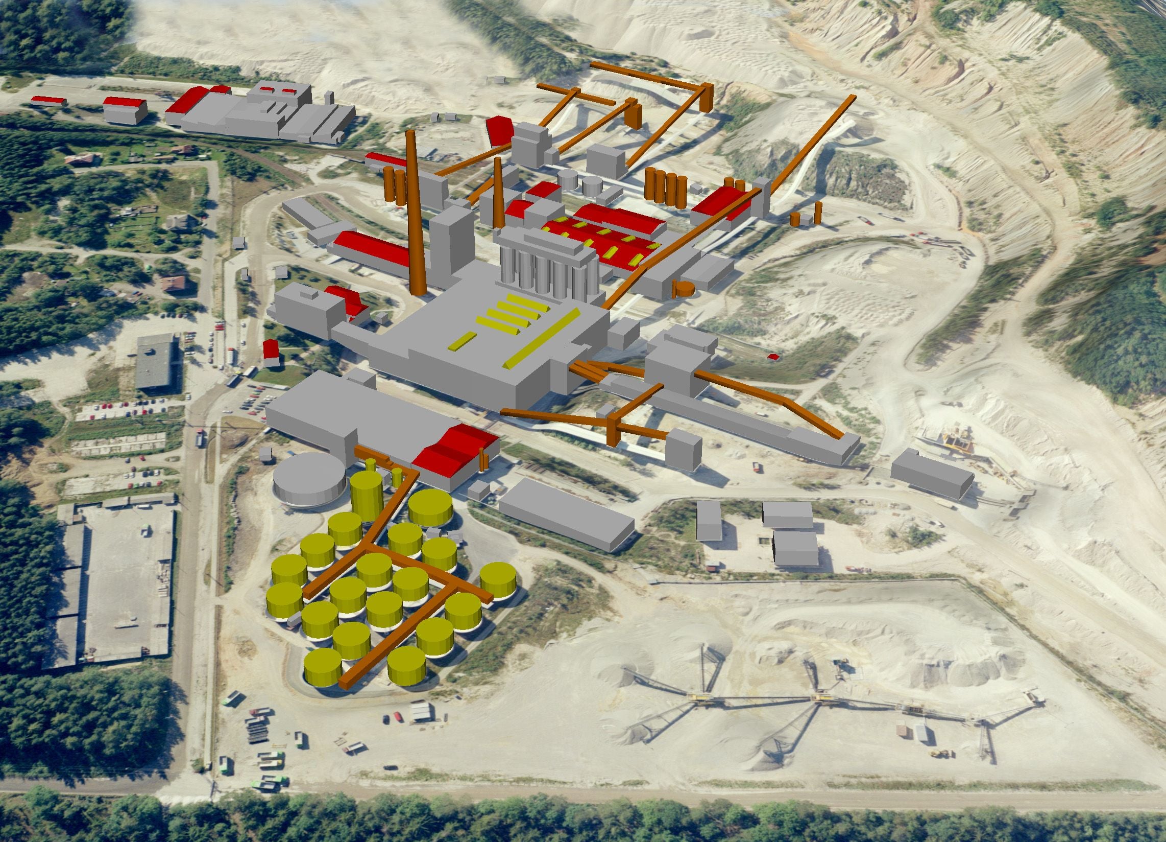
We provide a complete mine surveying service to organisations extracting and processing mineral resources, to mining and construction design offices and to state administration bodies. All work complies with Act No. 44/1988 Coll., the Mining Act (horní zákon), and Decree No. 435/1992 Coll. on mine surveying documentation, and is carried out by specialists holding the chief mine surveyor and mine surveyor certifications. We maintain and update mine surveying documentation and base maps of processing plants, we measure and calculate the volumes of material gained and removed, and we prepare source data for mine design, geological documentation or EIA-type documentation. We combine traditional mine surveying with modern large-scale data acquisition – terrestrial laser scanning, aerial photogrammetry and drones (unmanned aerial vehicles, UAVs). The result is accurate 3D source data of quarries and operations, on which we build analyses and visualisations.
Mine surveying documentation
For mining organisations we compile, update and maintain complete mine surveying documentation in digital form in line with Decree No. 435/1992 Coll…
More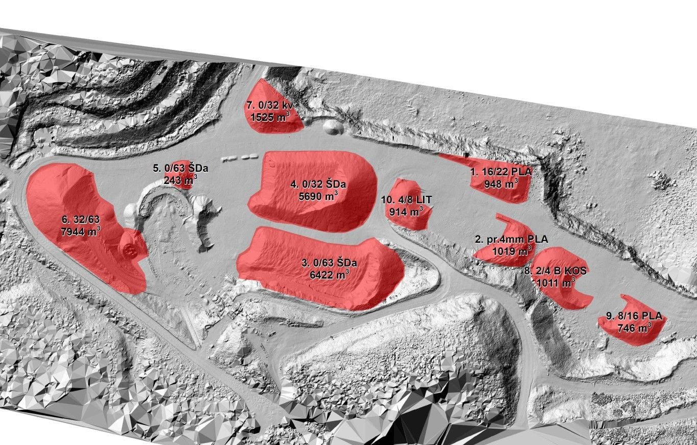
Volume calculations
We survey and calculate the volumes of material gained and removed – reserves of raw material and other materials, overburden, stockpiles and…
More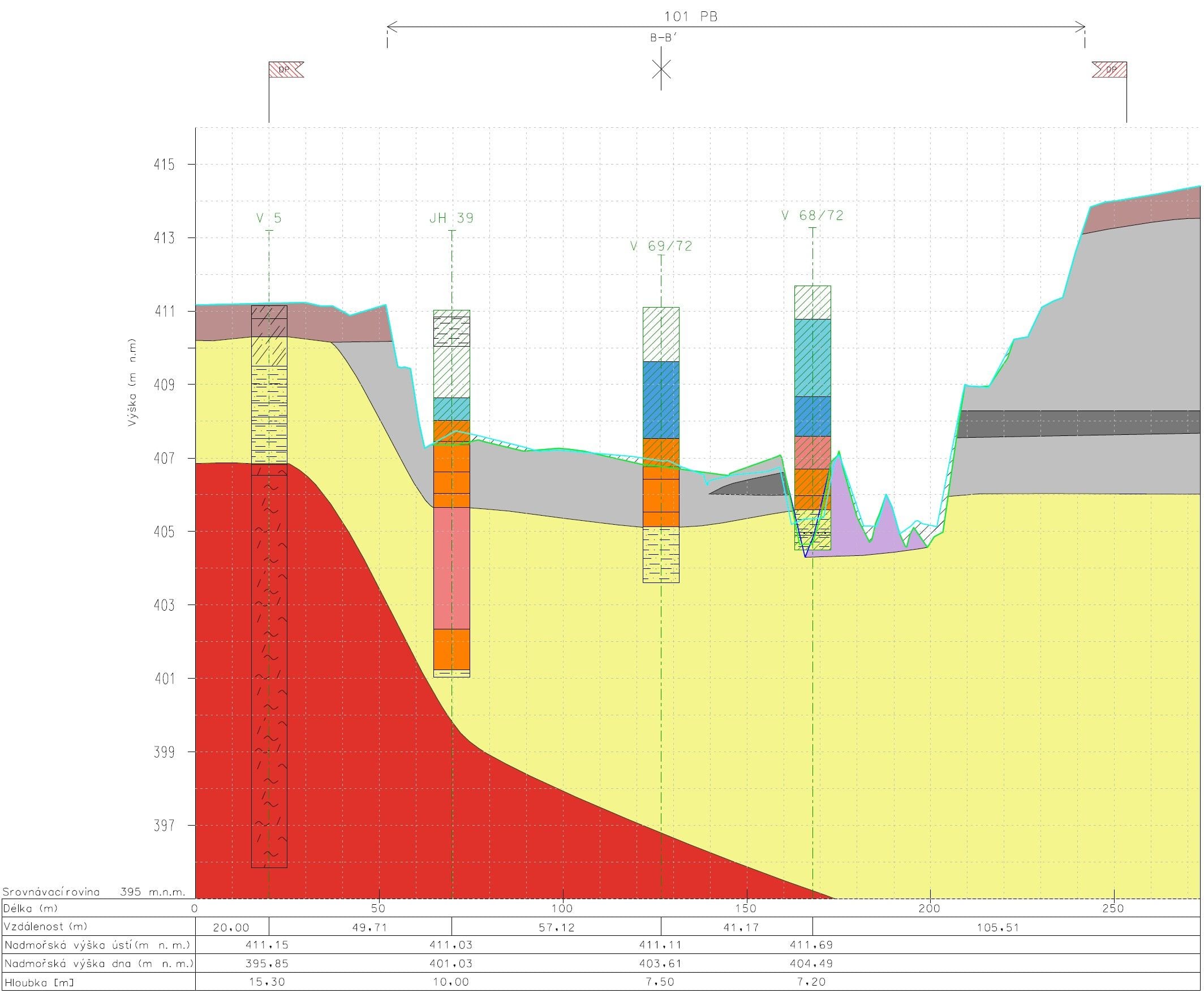
Geological documentation
We acquire and prepare complete survey base data for the geological and extraction documentation of mineral deposits. To geologists and mining…
MoreKEY ASPECTS
What to expect from mine surveying
We keep the documentation as mining legislation requires – and in a form you can actually work with.

Compliant with mining regulations
We keep the documentation and the prescribed returns to the requirements of the mining authorities.

Extraction progress under control
We keep the plant maps up to date and measure the material gained and removed.

Source data for geologists and designers
We survey profiles, faces and deposits in a form that a geologist or a designer can use straight away.
Not sure which product to choose?
Ing. Tomáš Vybíral, Ph.D.
Team leader