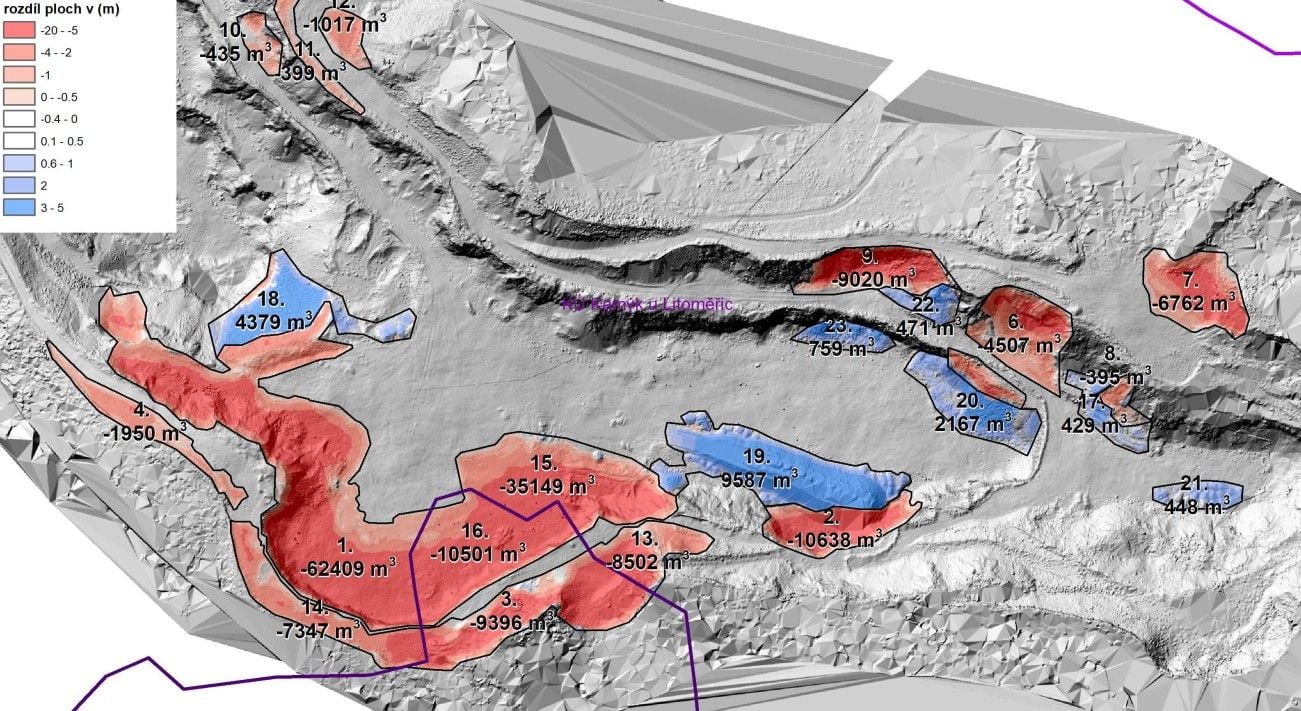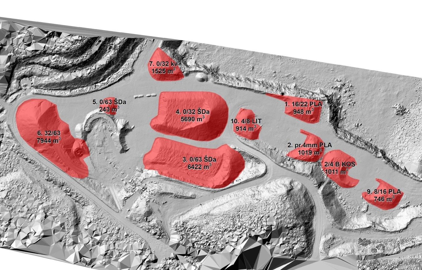
Accurately determined volumes are the basis for stock records, invoicing, the calculation of payments and checks on earthworks in progress. Instead of estimates, we deliver a figure backed by measurement.
We survey the site with state-of-the-art technology – primarily terrestrial laser scanning and aerial photogrammetry, and a drone at smaller sites. A dense point cloud yields a faithful 3D surface model, which we compare with the previous epoch, the design state or the original terrain. The delivery also includes 3D visualisation and presentation of the data.
The main result is the volume of material gained or removed, calculated over the entire area and not just in a few cross-sections. The handover includes a clear report documenting the calculation procedure, so the result stands up in an audit or in negotiations with a business partner.
Repeated measurement in epochs gives you a continuous overview of extraction progress, the state of stockpiles or the amount of earthworks completed.