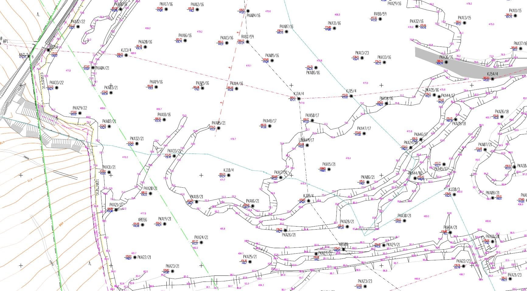
Mine surveying documentation is a set of maps, sections and records that captures the state and the progress of extraction. Its core is the basic mine map – a map compiled under uniform technical regulations that shows in detail the structures and technical installations on the surface, below it and above it.
We provide the complete service: compilation and continuous updating of the basic map documentation, special-purpose survey work, production of sections and profiles, and print and digital outputs for operational, planning and record-keeping activities, including baseline data for emergency plans in the field of occupational health and safety and fire protection.
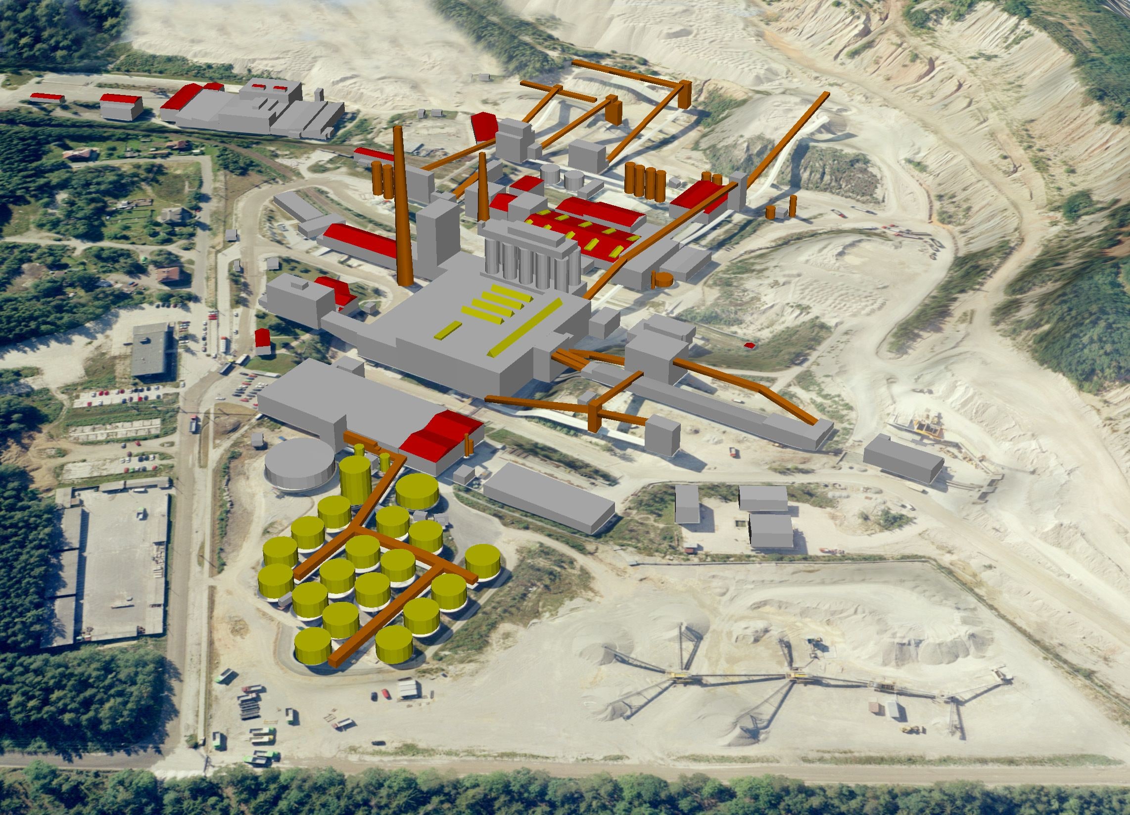
We survey the state of the quarry with current technology – terrestrial laser scanning, aerial photogrammetry and drones (unmanned aerial vehicles, UAVs). The result is accurate 3D baseline data from which we build, besides the maps, spatial analyses and visualisations of the area. We can also hand the data over into a mine GIS.