GEOREAL spol. s r.o.

Geological documentation

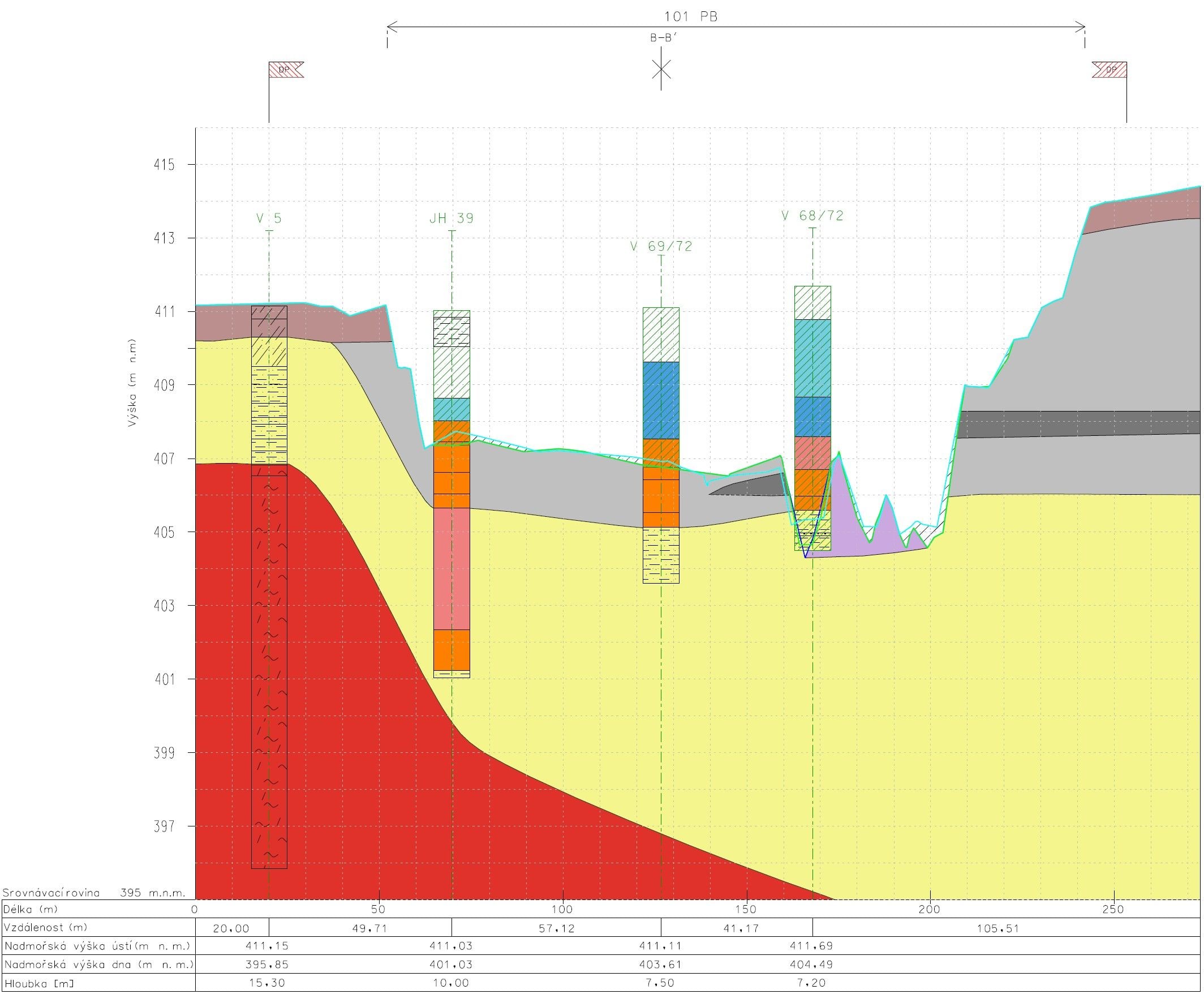
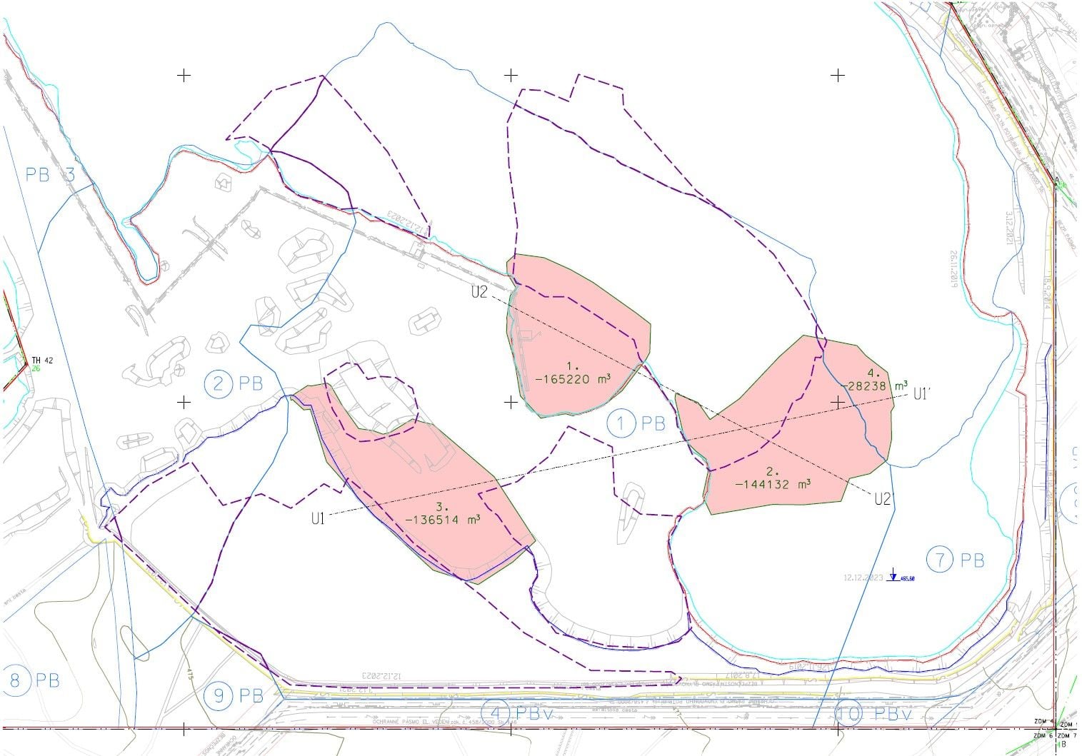
We acquire and prepare complete survey base data for the geological and extraction documentation of mineral deposits. To geologists and mining designers we supply spatial data for further decision-making that can be built on without any additional surveying. We produce special-purpose mine maps with dedicated content, precisely georeferenced photographic documentation of geological profiles, faces and structures, sections and more.

Georeferenced photographic documentation3D base dataLinked to mine surveying documentation
Geological documentation

What it is for

A spatial picture of the deposit

A photograph of a geological profile is only fully valuable once you know exactly where and at what scale it was taken. Our photographic documentation is georeferenced – every image has a position in the coordinate system.

We process georeferenced documentation images of geological profiles and structures both as part of mine surveying documentation and as a standalone service. The images are georeferenced using surveyed ground control points, so measurements can be taken directly from them and they can be inserted into maps, sections and 3D models.

We create advanced base data for the geological or extraction documentation of a deposit, for specialised documentation such as EIA and for an overall picture of the deposit. Inaccessible faces and benches are documented without contact – photogrammetrically or by drone (unmanned aerial vehicle, UAV).

We do not replace the work of a geologist or a mining designer; we supply precise survey and image base data on which expert documentation is produced faster and more reliably.
A spatial picture of the deposit

What it includes

Base data for geologists and designers

  • Photographic documentation of geological profiles and structures

  • Georeferencing of images to S-JTSK (national grid)

  • Base data for geological and sampling documentation

  • Base data for documentation such as EIA

  • 3D analyses and visualisation of the area

  • Contact-free documentation of inaccessible faces

Deliverables

What you can receive

Georeferenced photographic documentation

Images of profiles and structures with a position in the coordinate system.

JPEG / TIFF

Survey base data for profiles

Surveyed profiles and sections for the geological documentation that follows.

DWG / DGN

3D model of a face

A photogrammetric model of a bench or a profile for measurement and visualisation.

point cloud / mesh

Base data for EIA

Survey and image base data for specialised documentation.

as specified

How it works

From brief to base data

  1. 01

    Brief with the geologist

    We specify the profiles and structures to be documented and the level of detail required.

  2. 02

    Surveying and imaging

    We survey and photograph the profiles – from the ground, photogrammetrically or by drone.

  3. 03

    Georeferencing and processing

    We place the images in the coordinate system and prepare drawings or 3D models.

  4. 04

    Handover

    We hand over the base data in formats that fit your documentation.

Common questions

What you ask us most.

No. We supply survey and image base data – precise, georeferenced and ready for interpretation. The geological documentation itself is produced from them by a geologist.

The images are georeferenced using surveyed ground control points. Outputs are delivered in S-JTSK, or in another coordinate system on request.

Yes. Photogrammetry and drones allow faces and benches to be documented without contact, with nobody entering hazardous areas.

Have a project where this fits?

Contact an expert

Ing. Tomáš Vybíral, Ph.D.

Ing. Tomáš Vybíral, Ph.D.

Team leader

3D scanning and mine surveying