

Area of competence
3D scanning and mobile mapping
Laser scanning is the fastest way to capture the as-built condition of a site, a structure or an object in maximum detail. The result is a dense point cloud combined with photographs – an accurate three-dimensional picture of reality on which measurements, designs and decisions are based. We choose the technology according to the size and character of the location: the vehicle-mounted RIEGL VMX-2HA mobile mapping system covers tens of kilometres of roads a day, a static scanner captures interiors and intricate structures, drones (unmanned aerial vehicles, UAVs) cover smaller locations from above and sonar adds the depths of water beds. The individual methods can be combined into one consistent output. From the data acquired we deliver everything from the survey itself through asset registers and 2D documentation to 3D models for design, GIS or BIM. Both data acquisition and evaluation are carried out with our own capacity – the deadline and the quality are on us.
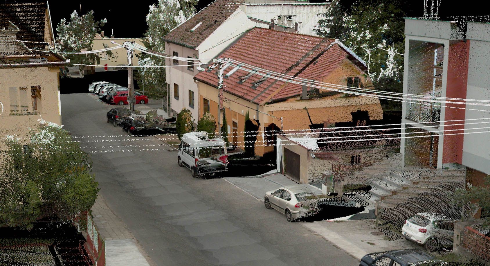
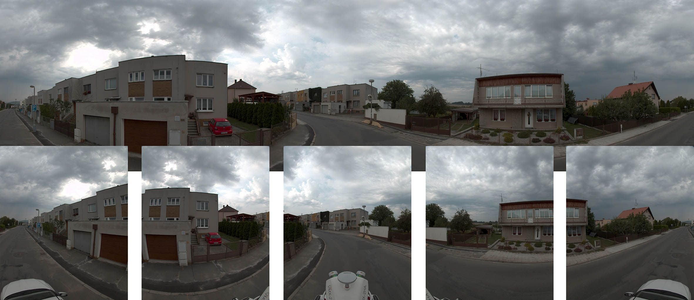
Mobile mapping (MMS)
With the vehicle-mounted RIEGL VMX-2HA mobile mapping system (MMS) we capture detailed point clouds and spherical imagery of tens of kilometres of…
More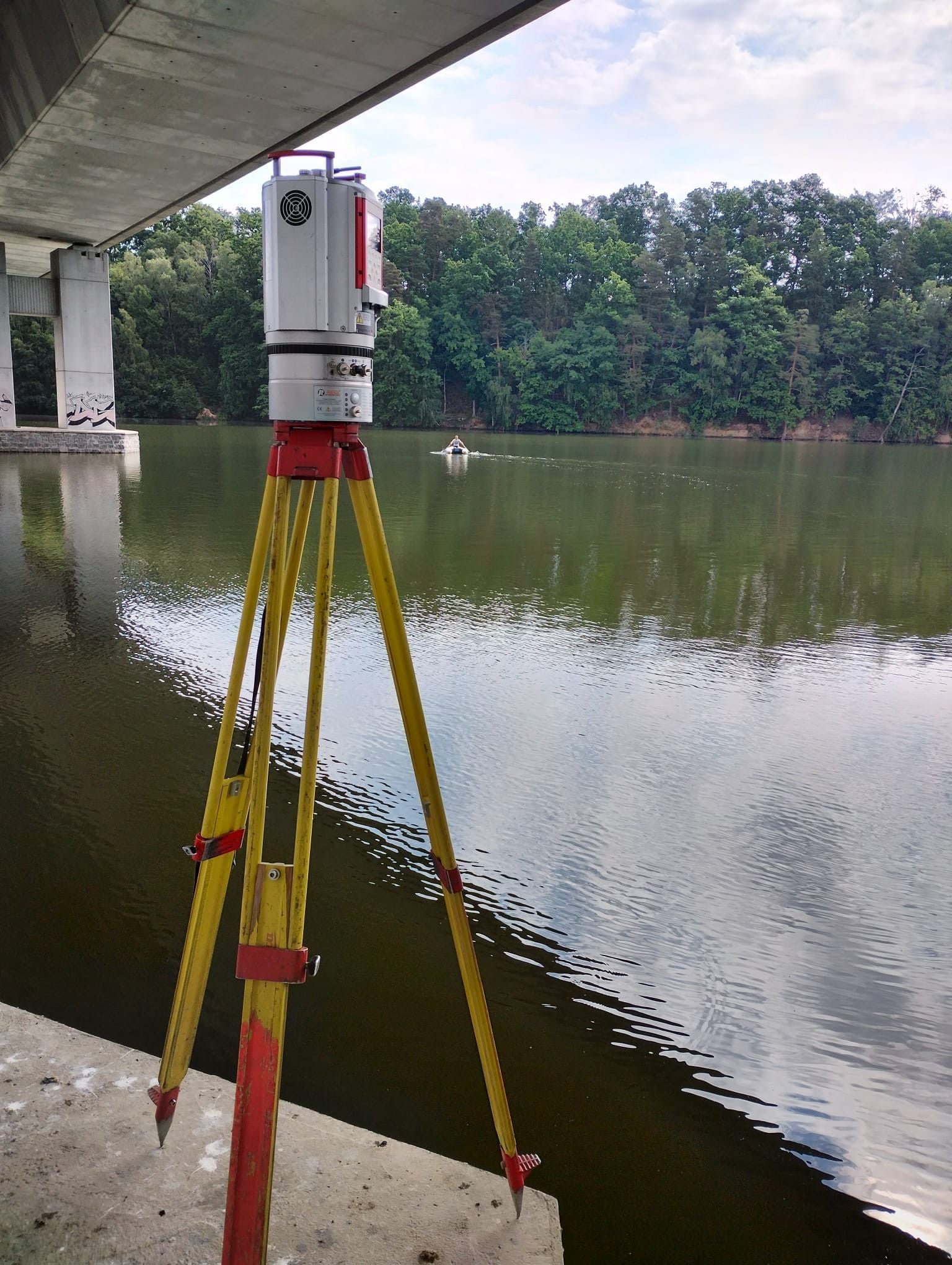
3D laser scanning of structures (TLS)
Static laser scanning captures buildings, plant and whole sites in maximum detail and accuracy. The non-contact method copes with interiors…
More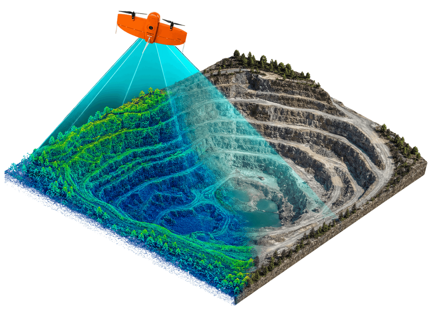
Drone data acquisition
Drones (unmanned aerial vehicles, UAVs) complement our aerial fleet where a large aircraft makes no sense: smaller sites, construction sites…
More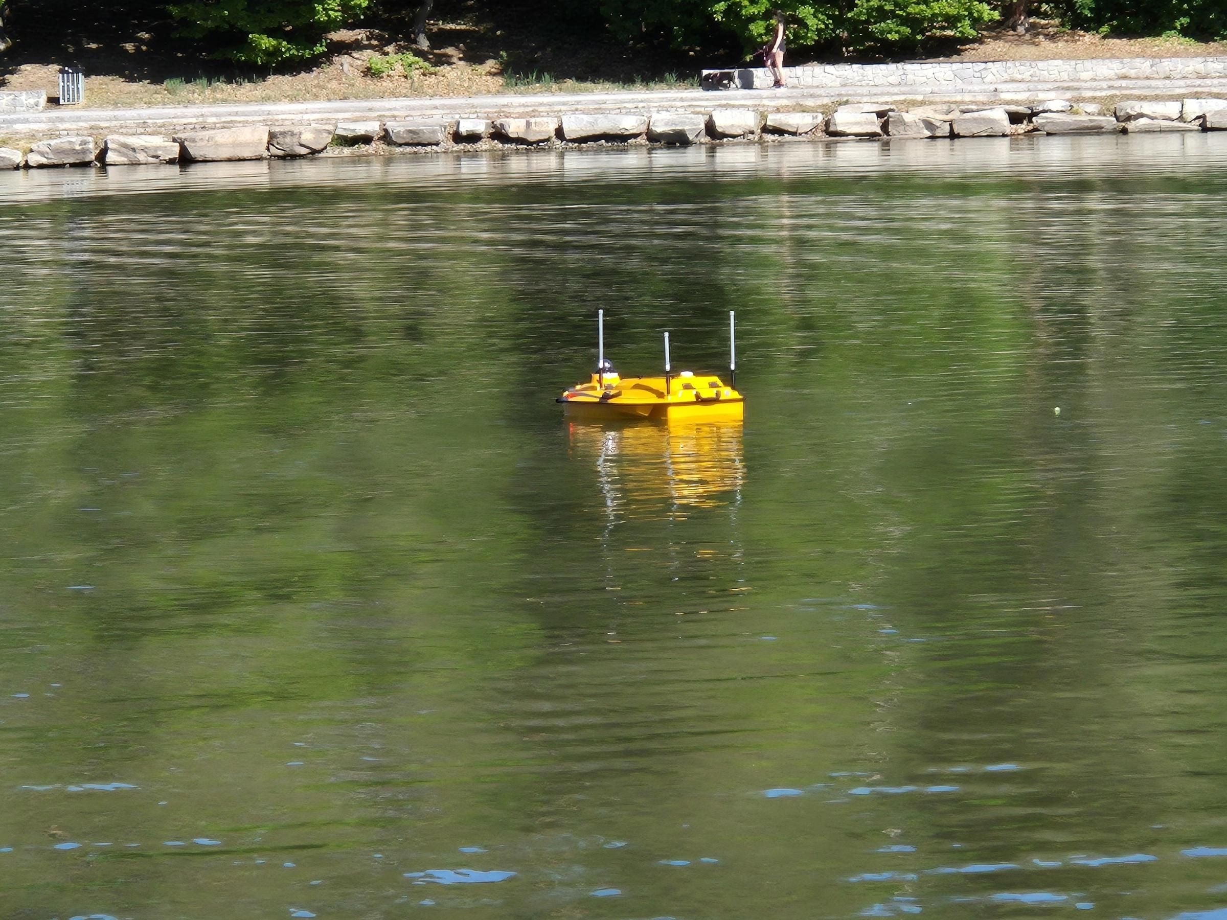
Bathymetry
We survey the bed depths of ponds, dam reservoirs and watercourses with sonar – now also with the CHCNAV Apache 4 Pro autonomous survey vessel. From…
More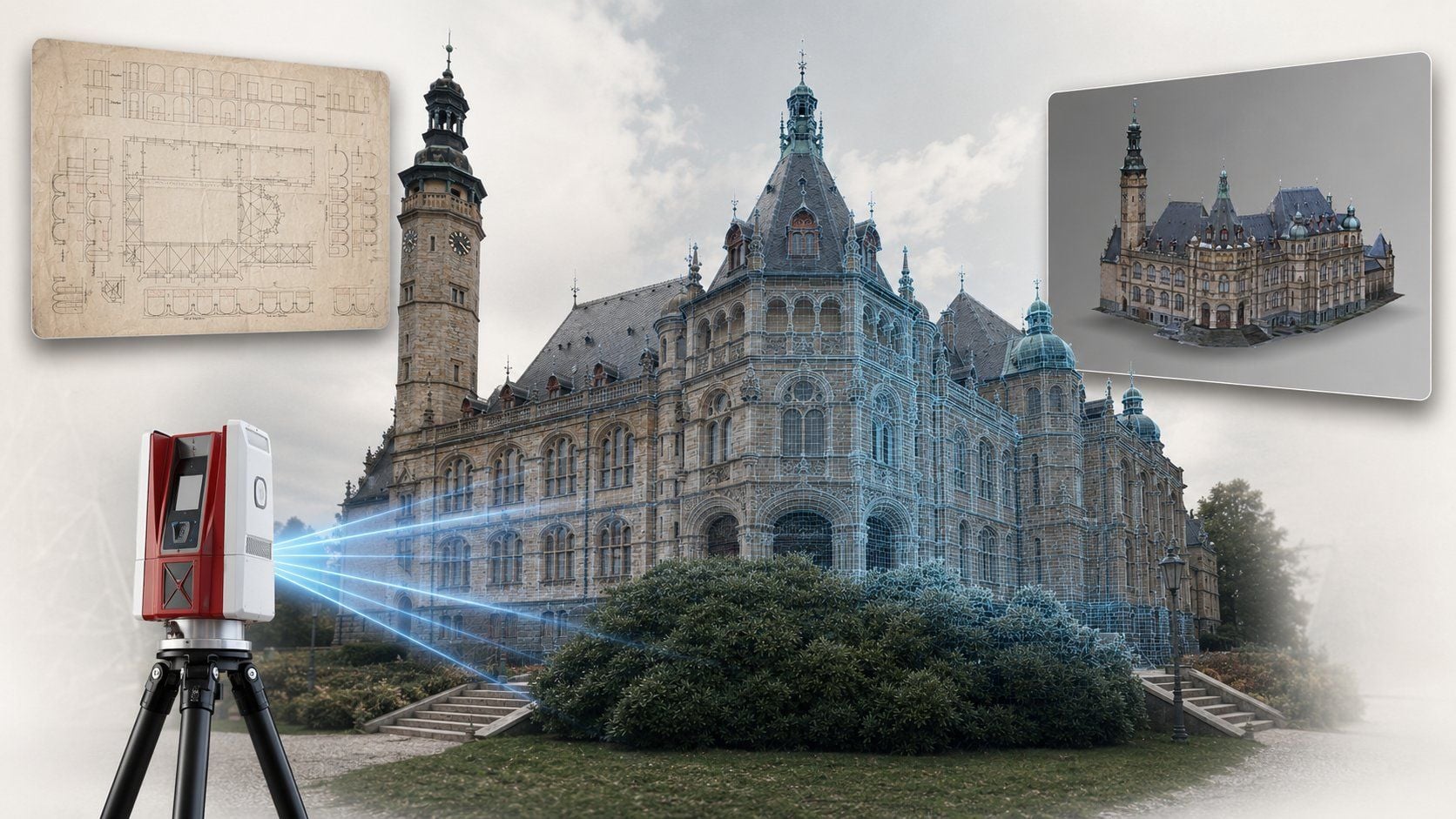
Building asset register
We survey buildings, structures and whole premises in detail and produce as-built documentation – floor plans, sections, elevations and a 3D model…
MoreKEY ASPECTS
How we approach 3D data acquisition
We choose the technology to fit the brief, not to fit what happens to be at hand.

Platform to suit the brief
A static scanner, a vehicle, a drone or a survey vessel – chosen according to the size of the location and the accuracy required.

From fine detail to long routes
We handle millimetre detail of plant equipment as well as tens of kilometres of roads in a single campaign.

One point cloud, several outputs
From a single survey we extract drawings, 3D models, asset registers and volume calculations – with no repeat visit.
Not sure which product to choose?
Ing. Tomáš Vybíral, Ph.D.
Team leader