


You are building a house or a garage
Before construction we set out where the building is to stand. Once it is finished we survey it for approval and for registration in the cadastre.
Building a house? Dividing a land parcel? Do you need boundaries or a building set out? Cadastral survey plans, setting out, as-built surveys of buildings and easements – from the first measurement to the finished documentation.
Situations we handle
Most people come to us with one of five situations. You do not need to know what the job is called – just describe what is being planned and we will pick the rest for you.
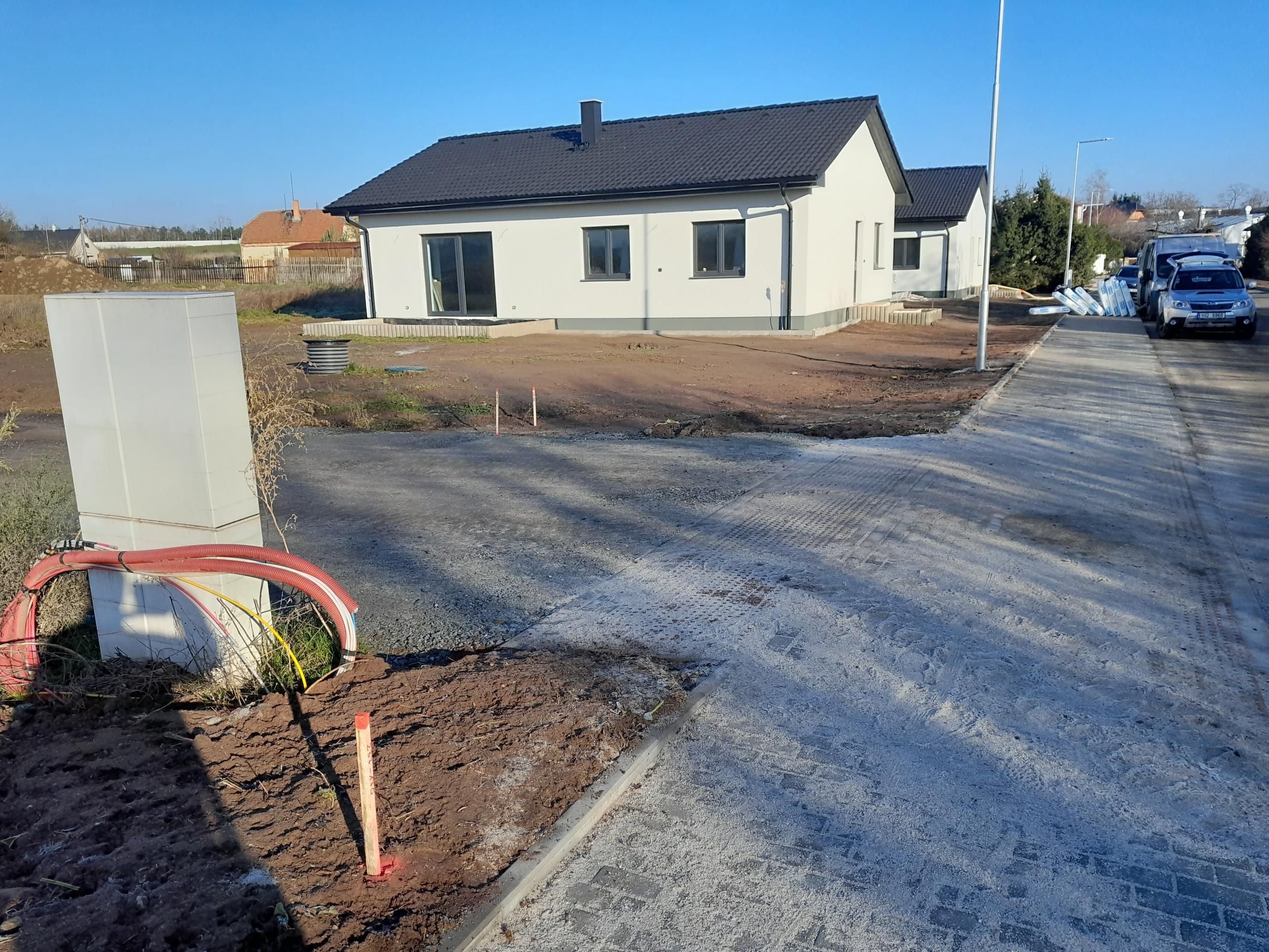
Before construction we set out where the building is to stand. Once it is finished we survey it for approval and for registration in the cadastre.

Splitting a parcel, separating a part for sale or merging parcels is done by a cadastral survey plan.

We set the boundary out according to the cadastre and mark it in the field. Typically before a fence goes up, or when you and your neighbour disagree.

A utility connection or an access road across someone else’s land is registered in the cadastre by a cadastral survey plan showing its extent.

A designer will usually ask for a planimetric and elevation survey of the plot. We deliver it in the format they expect from us.
Land consolidation
The date, the place of the meeting and the documents you need are stated in your invitation letter. If you cannot attend or need anything clarified, contact the person named in the letter.

The proceedings are conducted by the State Land Office. GEOREAL is the contractor for the particular project your invitation refers to.

The subject of the meeting is stated in your invitation letter. A member of the GEOREAL team will walk you through the documents and answer questions about your land.

Your invitation letter sets out the options for being represented as well as the dates. For anything unclear, contact the person named in the letter.
Before you call us
Three things that let us estimate the scope and send a quotation straight away. None of them is a condition – if you do not have them, we will look them up with you.

The parcel number and the cadastral area. You will find them on the title deed, in the purchase contract or in the public cadastre viewer.

One sentence is enough. If you already have a design, a site layout or a contract, send them with your enquiry.

A deadline at the building authority, at the bank or at the notary. We plan the field visit around it.
The process
Four steps. We will confirm the date for your particular job in the quotation.
By phone, by e-mail or through the form. If you are not sure which job is the right one, we pick it together with you – that is part of the conversation, not a paid consultation.
We set out what the work involves, what it will cost and when we can do it. Nothing is binding until you approve it.
We come to the site and survey what is needed. For setting out a boundary we also invite the owners of the neighbouring parcels and a record is drawn up.
A cadastral survey plan is confirmed by the cadastral office and attached to the application for registration. Setting out a boundary ends with documentation and markers placed in the field, a survey for a design with a file for the designer. We always tell you where the output has to be submitted.
Common questions
If you cannot find the answer to your question, give us a call – we are happy to advise over the phone.
The price depends on the scope and the difficulty of the survey, so we do not publish a flat price list – two cadastral survey plans can differ several times over. You will get the specific price in a quotation in advance, before you order anything.
We confirm the date of the field visit in the quotation. For work that goes to the cadastre you also have to allow for the cadastral office’s own time for verification and registration – that is outside our control.
We invite the owners of the neighbouring parcels to the setting out of a boundary and a record is drawn up. Their attendance is not, however, a condition for the setting out to go ahead.
Setting out shows where the boundary runs according to the cadastre and marks it in the field. If the dispute is about who owns the land, that is not resolved this way – that is a matter for the courts. The setting-out record is, however, a document you can work from.
Not sure exactly what you need?
Just tell us which parcel it is about and what you are planning. We will advise which job is the right one and send you a quotation.

Robert Nekola
Head of cadastral plans