
ARCHITECTS OF DIGITAL SPACE
We combine surveying, aerial photogrammetry, GIS and 3D scanning. From precise spatial data we build base maps, digital models and design solutions for public administration, infrastructure operators, designers and construction companies.
For citizens and property owners we provide surveying services for the Cadastre of Real Estate and for development projects, including expert consultancy.
Selected services
We capture. We process. We deliver.
We survey from the air, the ground and the water – from a single parcel plan to a 3D city model.
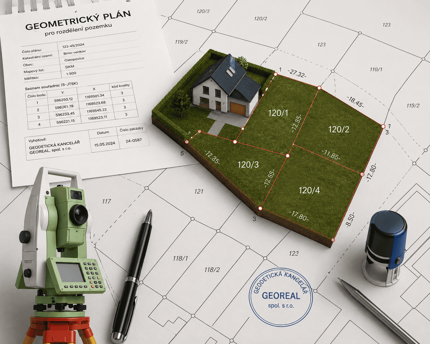
Cadastral survey plans
A cadastral survey plan (geometrický plán) is an inseparable part of the documents on which a change is recorded in the Cadastre of Real Estate. We prepare it including the field survey, verification by an authorised surveying engineer (AZI) and confirmation by the cadastral office.
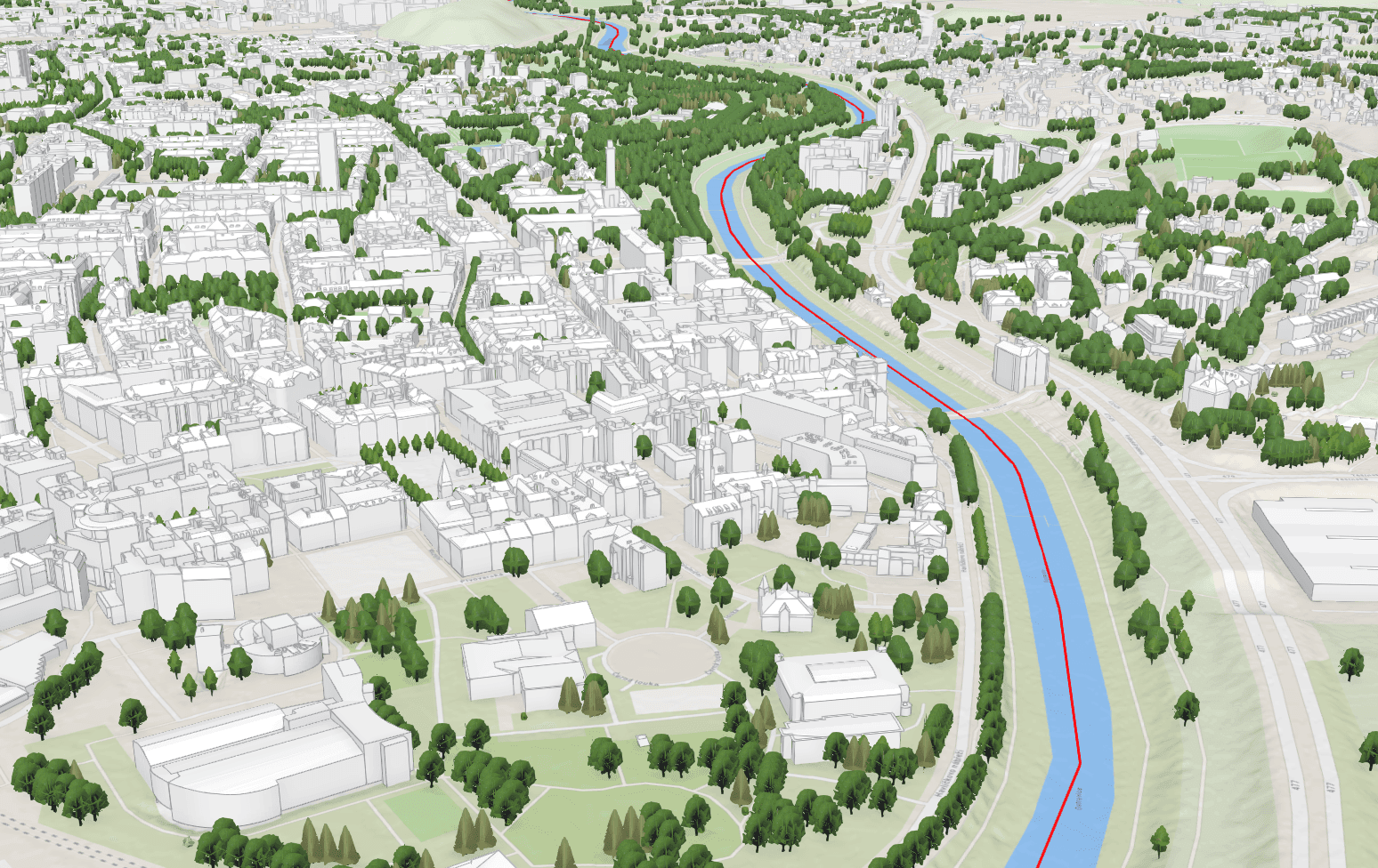
Photogrammetric mapping
From aerial survey imagery we map the planimetry and altimetry of extensive areas by 3D stereoscopy. At an image resolution of 5 cm we map features at a scale of 1 : 500 to class 2–3 accuracy – faster and with more complete area coverage than ground survey can achieve.
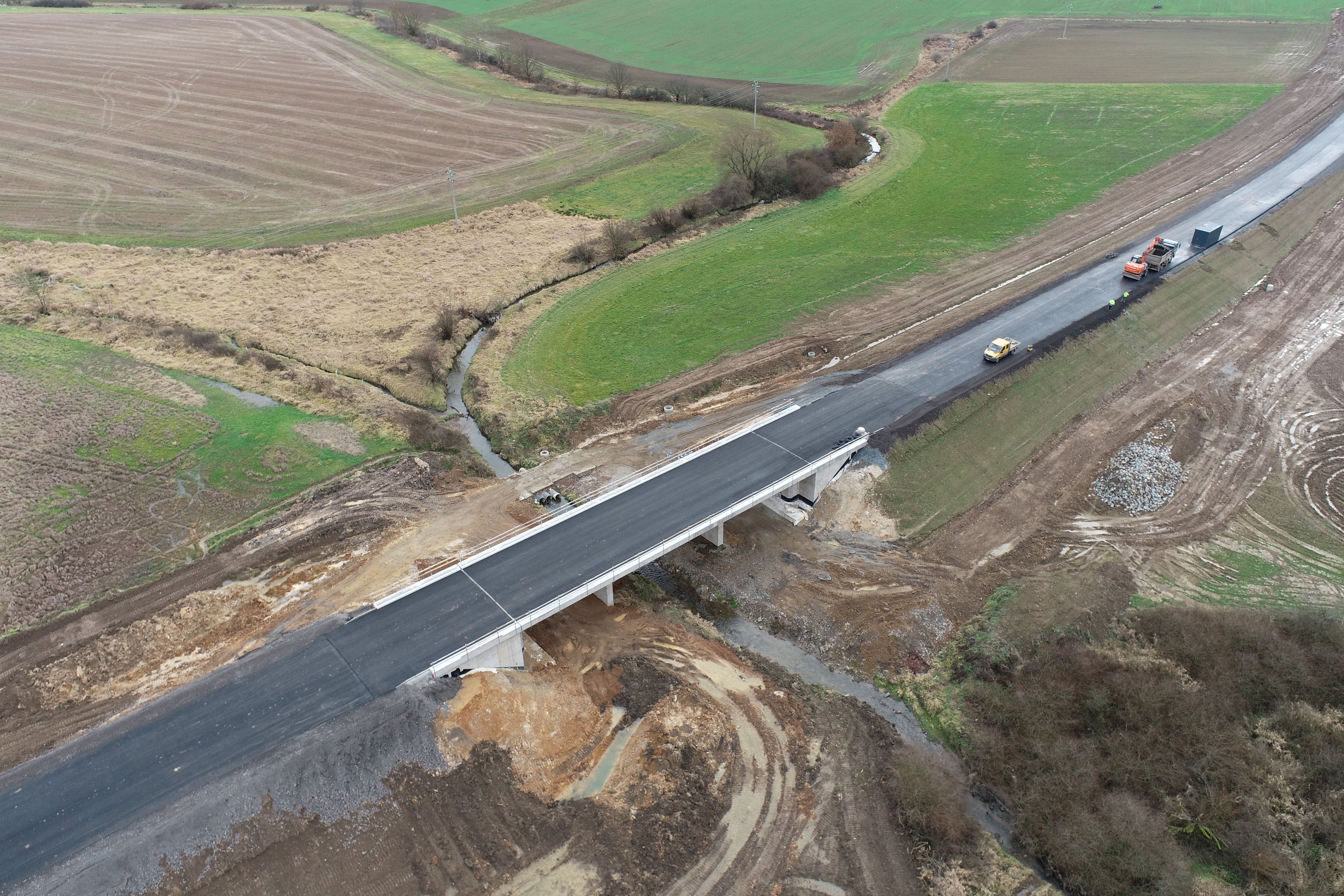
Transport infrastructure design
We design roads at every stage of documentation – from the study through the documentation for the project permit to the detailed design for construction. Roads, local roads, pavements and paths, field and forest roads and car parks, including the related structures and permitting services.
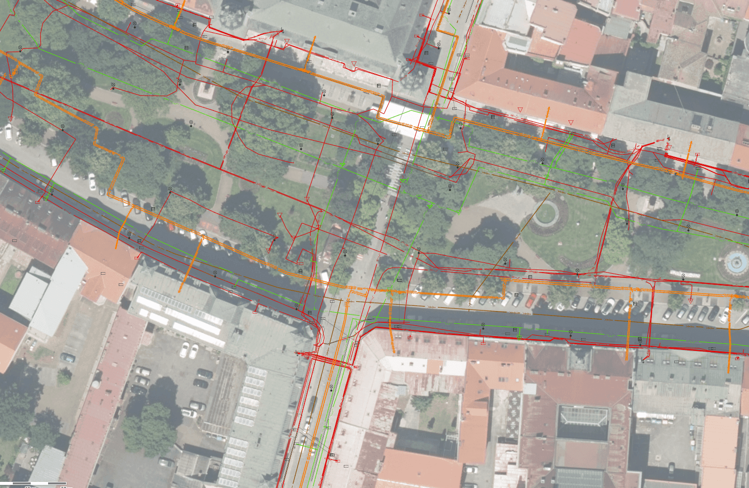
Who we work for
Solutions
Public administration, utility network operators and property owners. Each needs different data and a different way to reach it.
Who trusts us















What we have delivered
References
Examples of projects where our data, surveys and applications turned into tangible results.
· 2026
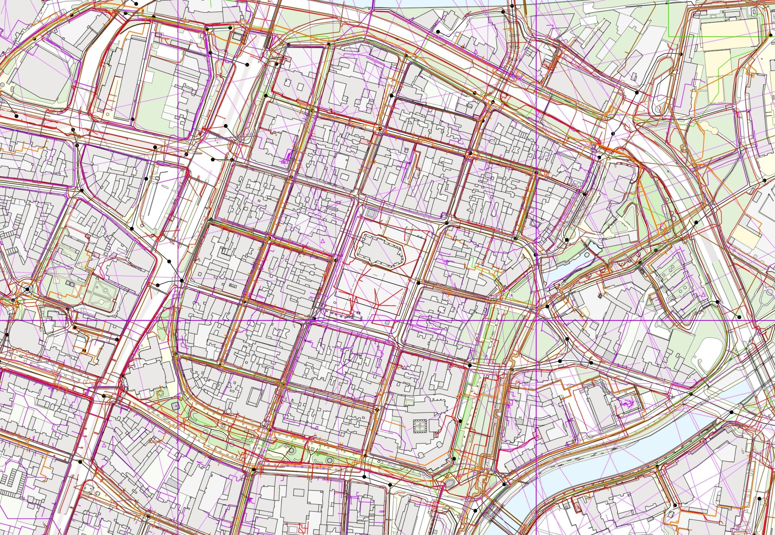
Digital Technical Map information systems of the regions
We have deployed the Digital Technical Map information system in twelve regions. The links in the overview lead straight to the live regional portals.
Kraj Vysočina · 2026
Spatial planning portal of the Vysočina Region
město Slaný
Map portal of the town of Slaný
Ostrava
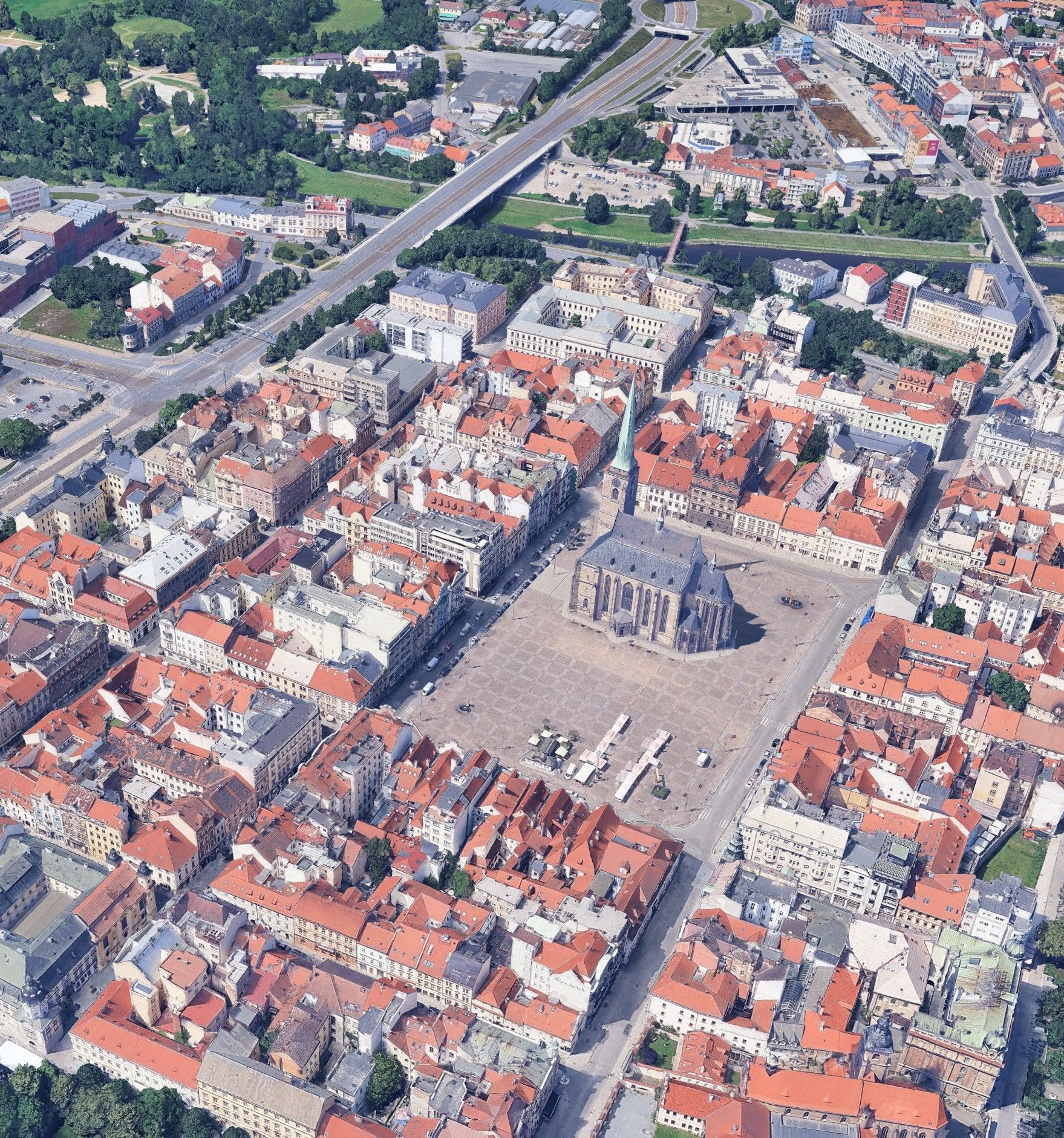
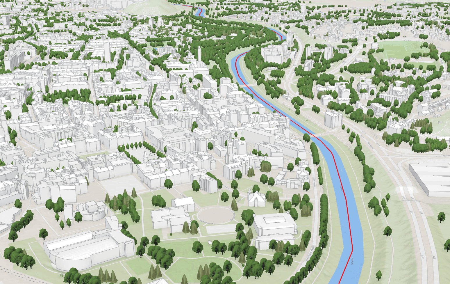
3D city model
Who are we?
Precise geospatial data for every project
GEOREAL is a Czech surveying and technology company. Since 1991, we have been providing precise spatial data, map data and digital tools for public administration, construction companies, designers and infrastructure managers. We have our own aerial surveying division with four aircraft equipped with modern sensors. More than 100 specialists work in surveying, GIS, photogrammetry, and application development. That lets us cover the whole process, from data acquisition through processing to deployment in practice.
More about us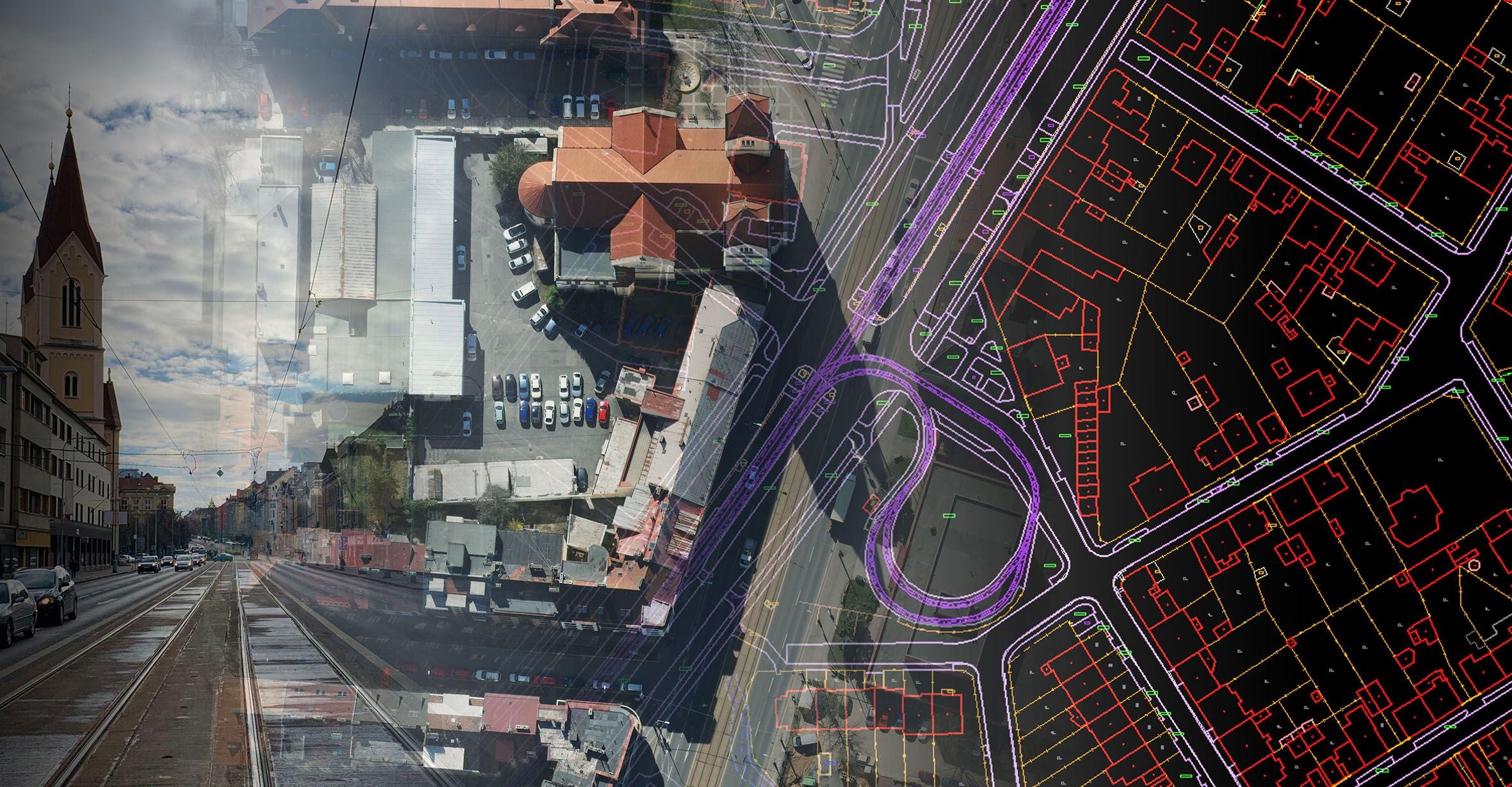
What is happening at GEOREAL