

Area of competence
Cadastral survey plans and setting out
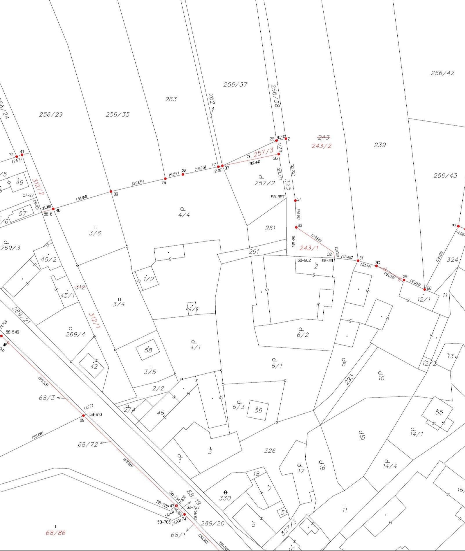
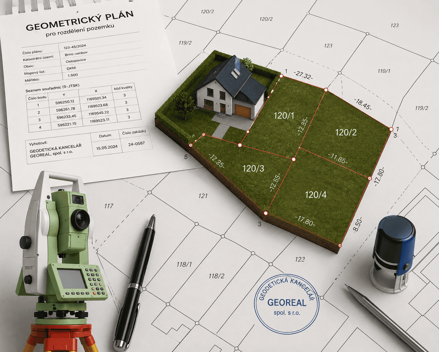
A cadastral survey plan (geometrický plán) is a mandatory annex to the documents on which a change is recorded in the Cadastre of Real Estate – when a land parcel is divided, a new building is registered or an easement is defined. We prepare it quickly, correctly and including the review with the cadastral office. The other side of the same coin is setting out a land parcel boundary: we transfer the boundary from the cadastral map back into the field, mark it with boundary markers and demonstrably inform the owners concerned of the result. All results are verified by an authorised surveying engineer. We build on many years of practice in the Cadastre of Real Estate and on our own equipment – from GNSS receivers to total stations.
Cadastral survey plans
A cadastral survey plan (geometrický plán) is an inseparable part of the documents on which a change is recorded in the Cadastre of Real Estate. We…
More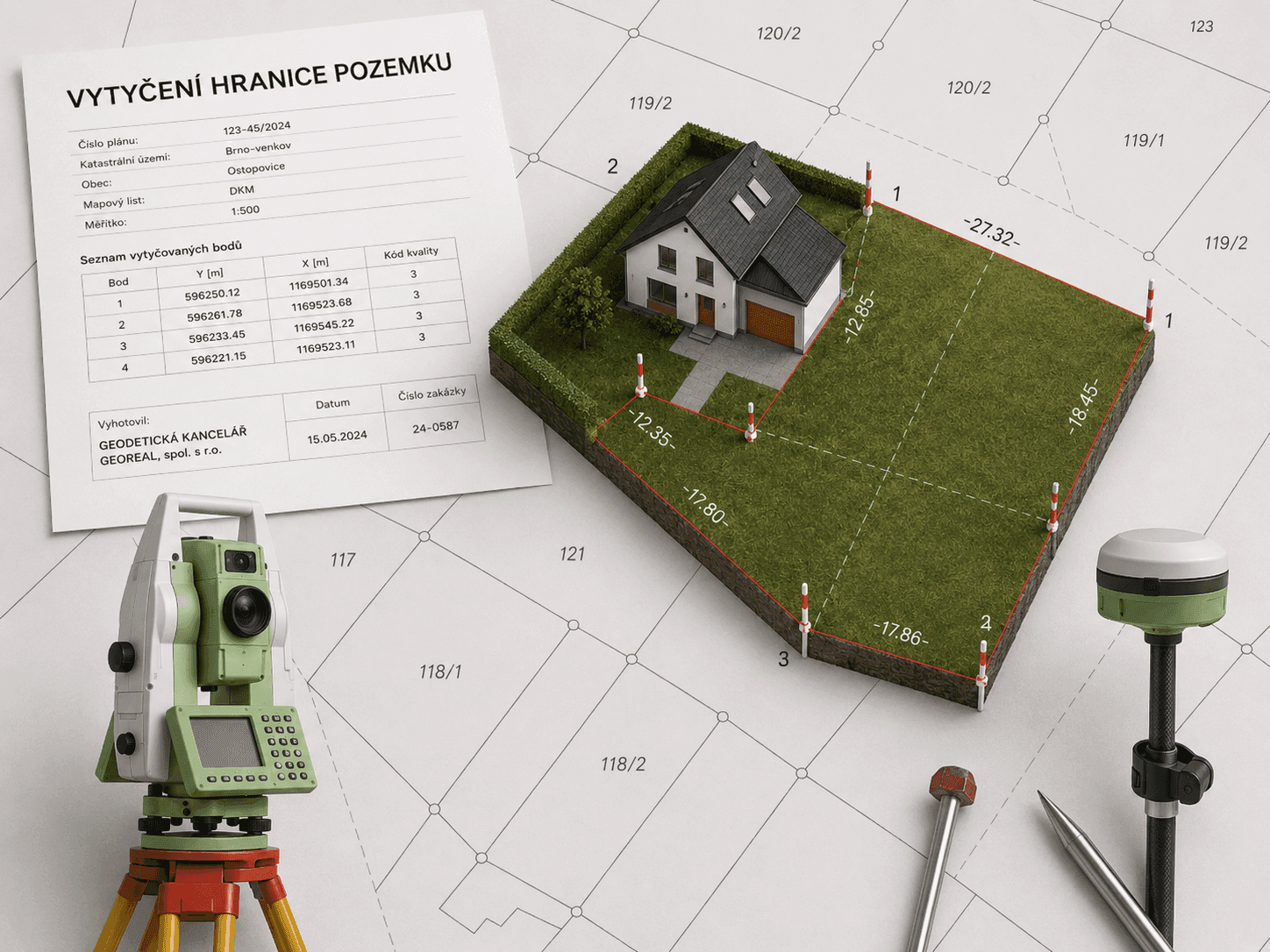
Setting out land parcel boundaries
Not sure exactly where the boundary of your land runs? We set it out on the ground from the records of the Cadastre of Real Estate, mark the turning…
MoreKEY ASPECTS
What you can rely on in cadastral work
An output the cadastre accepts, and a boundary you will still find in five years.

Verified by an authorised surveyor
Every output is verified by an authorised surveying engineer (AZI) and the cadastral survey plan is confirmed by the cadastral office.

A boundary legible in the field
We mark turning points with permanent markers, not with a temporary peg.

We see you through to the entry
We advise on the application for registration and on the documents needed, so that the change really goes through in the cadastre.
Not sure which product to choose?

Robert Nekola
Head of cadastral plans