GEOREAL spol. s r.o.

ArcGIS extensions

We are a partner of Esri and develop extensions for the ArcGIS GIS platform – ArcGIS Pro, ArcGIS Online and ArcGIS Enterprise.

ArcGIS extensions

What it is for

Custom tools for managing your data

We will build tools for managing your spatial data to measure, as an extension for ArcGIS Pro. You will be able to use your own functions, designed precisely for your agenda, in an environment you already know.

Our goal

Simpler everyday work with geographic data, automation of routine activities and a single consistent workflow across the organisation.

How we get there

We design and build a tool with an intuitive user interface and functions focused on managing, editing and checking data. Users get a simple, clear environment that guides them through the whole workflow and minimises the risk of errors.

What you get

We develop every tool individually according to the customer's requirements. Whether you need to keep an asset register, manage technical infrastructure, process field data or automate complex GIS processes, we will build a solution that adapts to the way you work. You get a modern GIS application that simplifies everyday activities, increases the productivity of your staff and lets you make full use of the potential of your data.
Examples of previous work

Specific outputs

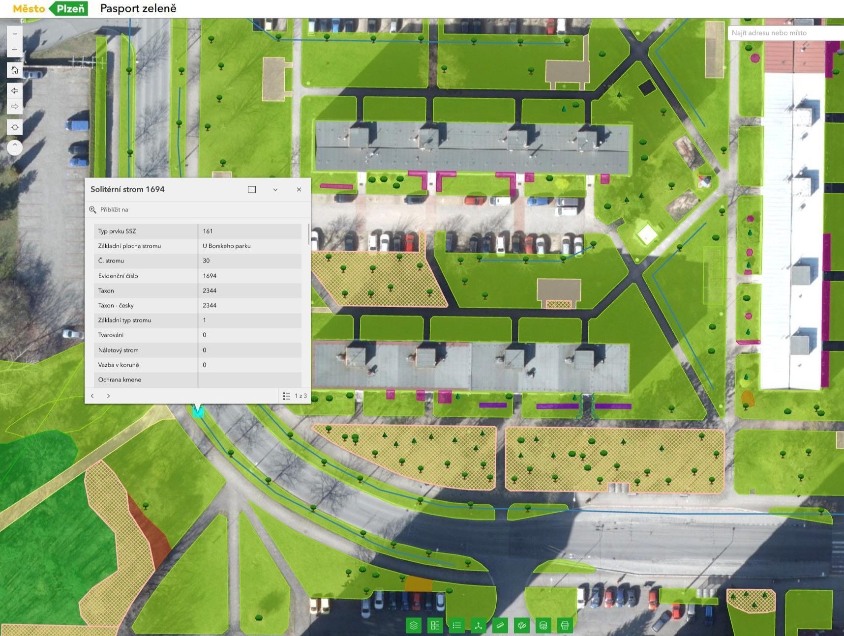
GIS of the City of Plzeň

Together with specialists from the city of Plzeň we created a solution for modern digital city administration – a web GIS for asset management and the municipal inventory.

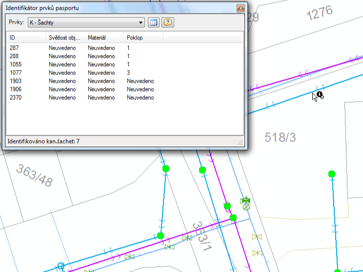
Spirit VAK

A tool for managing geospatial data on water supply and sewerage networks, built for ArcGIS.

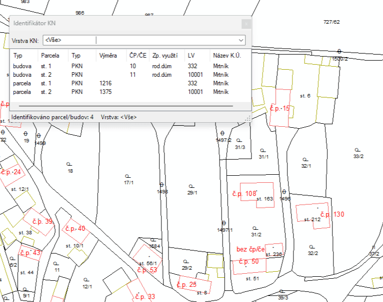
Spirit KN

An application for working with data from the Cadastre of Real Estate that makes cadastral information easier to navigate and users' everyday work more efficient.

How it works

From brief to handover

We go through the whole process together...

  1. 01

    Consultation and brief

    We listen to your requirements and draw up the specification together. Consultations can take place in person or online.

  2. 02

    Plan and preparation

    We design the solution and present it to you. Together we fine-tune the details so that the result really matches what you had in mind.

  3. 03

    Implementation

    We build the tool to fit you and make sure everything needed for going live is ready.

  4. 04

    Handover and training

    We hand over the finished product and provide training so that you feel confident using it. Support while you use the product goes without saying.

Common questions

What you ask us most.

No, the licence you have bought does not need to change in any way. As a partner of Esri we can build extensions on top of the ArcGIS platform and connect them to the products you own.

The original extensions cannot simply be installed in the new environment; the data and the tools have to be migrated. We can carry out this migration for you. Older extensions for ArcMap will no longer be supported or maintained.

Interested in this service? Get in touch...

Contact an expert

Jiří Beránek, DiS.

Jiří Beránek, DiS.

Sales

Geoinformatics
ArcGIS extensions | GEOREAL