

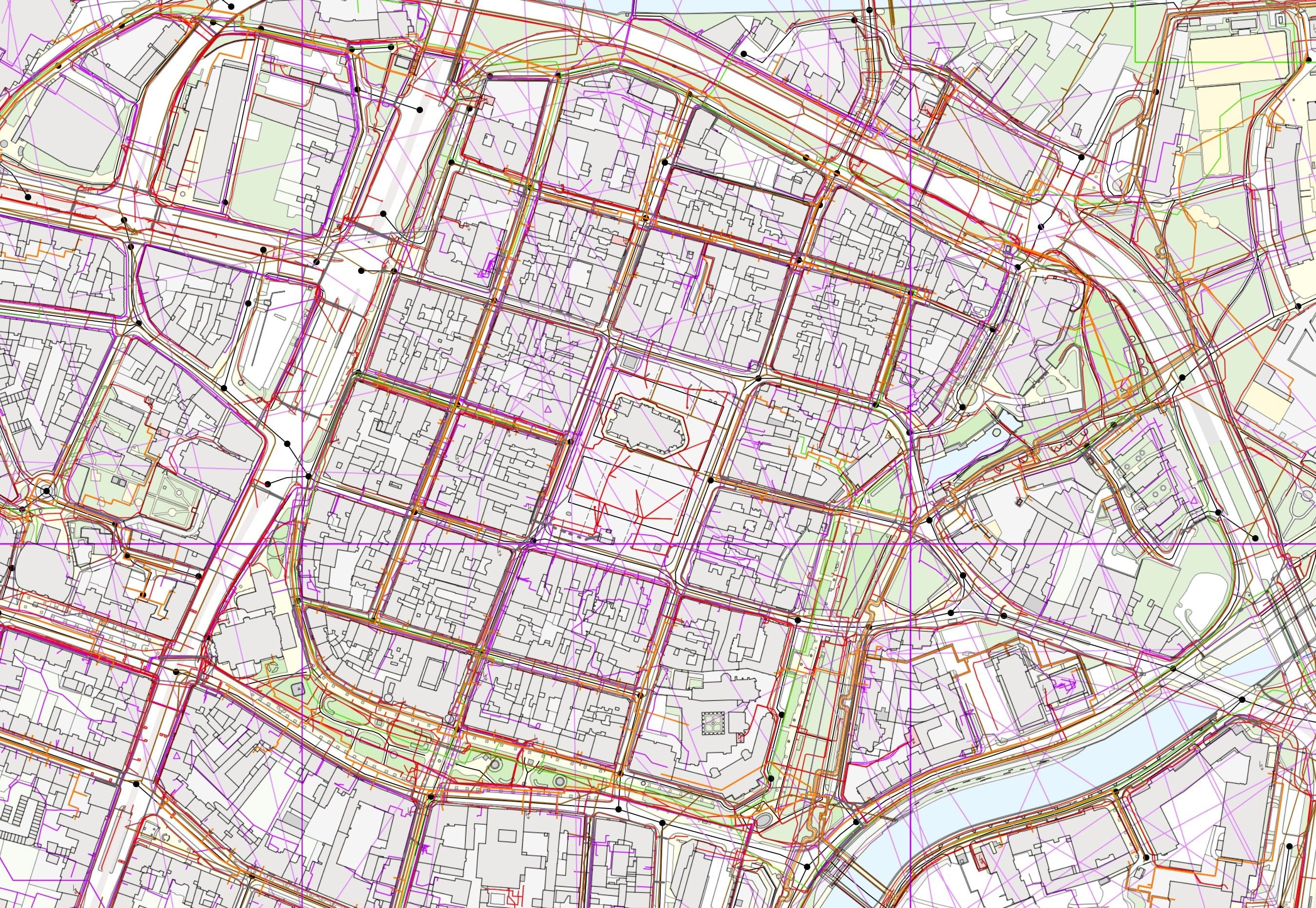
We have deployed the Digital Technical Map information system in twelve regions. The links in the overview lead straight to the live regional portals.
We have delivered the Digital Technical Map information system (IS DTM) to twelve regions. Every deployment is built on the same core and is integrated with the unified interface of the Digital Map of Public Administration information system (IS DMVS), so the region fulfils its role as administrator of the Digital Technical Map and at the same time gains a tool used every day by its officials, utility network operators and designers.
IS DTM is a platform for managing and sharing accurate spatial data. It allows regions, municipalities and utility network operators to work with a single, up-to-date and verified Digital Technical Map that speeds up decision-making and improves the quality of planning.
The Digital Technical Map is maintained by the region under delegated powers. It is a source of information for spatial planning, for the preparation and permitting of construction works, for providing environmental information and for supplying data on physical infrastructure. The regional projects were implemented under the Operational Programme Enterprise and Innovation for Competitiveness – the regions dealt at the same time with the consolidation and acquisition of data to fill the data content and with the implementation of their own information system.