

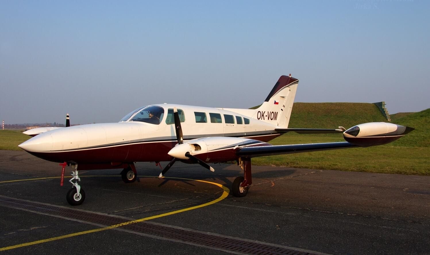
 OK-VOM
Cessna 402B
Twin-engine workhorse for photogrammetry over large areas.
- Cruise speed
- ~370 km/h
- Range
- ~2 000 km
- Speciality
- Two camera ports. Two technologies
Technology
Four aircraft, top-end UltraCam and Leica aerial cameras, Riegl LiDAR, mobile mapping and an autonomous survey vessel. Full technical facilities for the whole fleet in our own hangar in Karlovy Vary.
Aircraft fleet
Single-engine and twin-engine aircraft cover every scenario – from short detailed jobs to high-altitude nationwide mapping.
OK-VOMTwin-engine workhorse for photogrammetry over large areas.
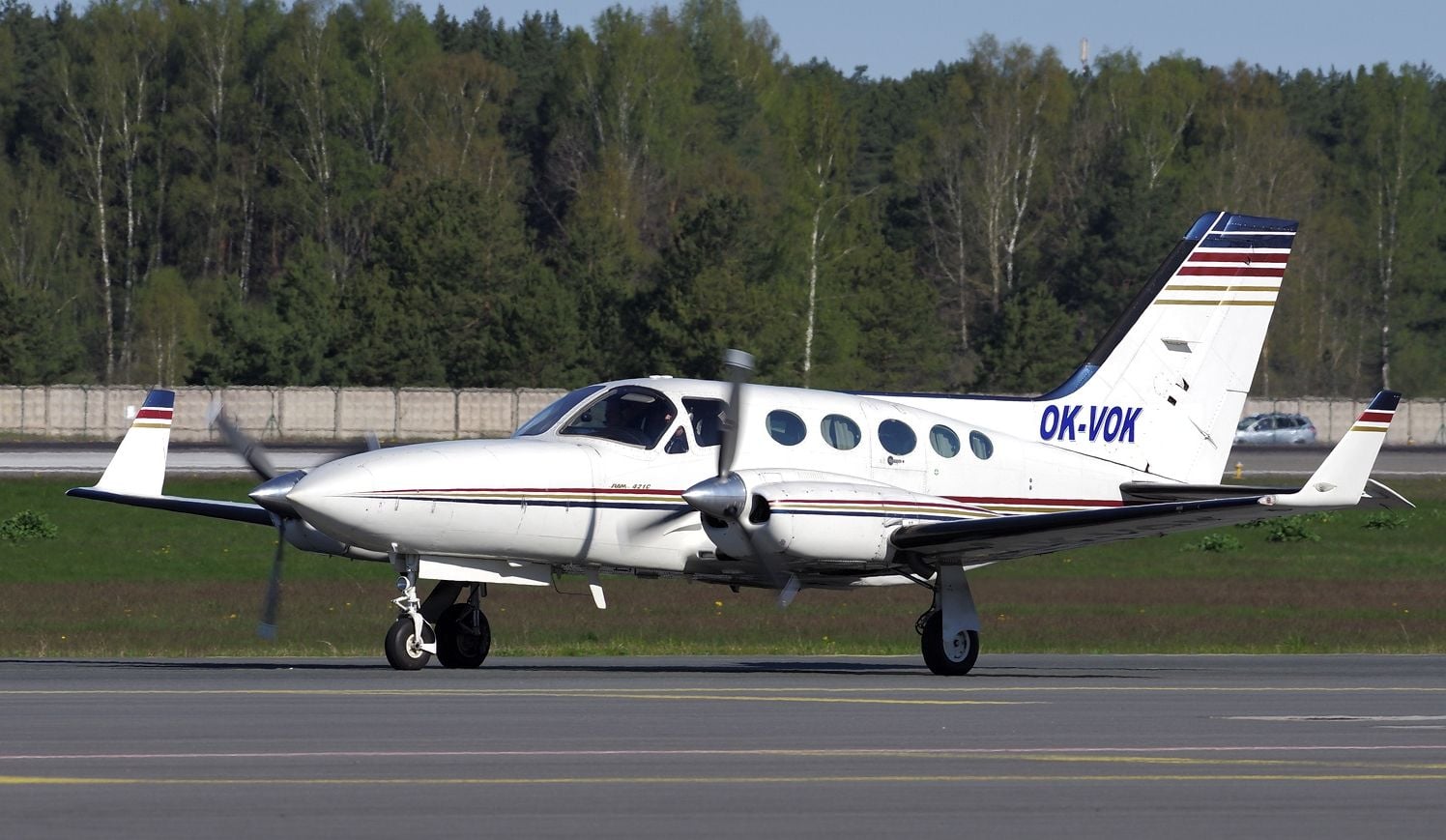 Pressurised cabinOK-VOK
High-altitude flights with a pressurised cabin.
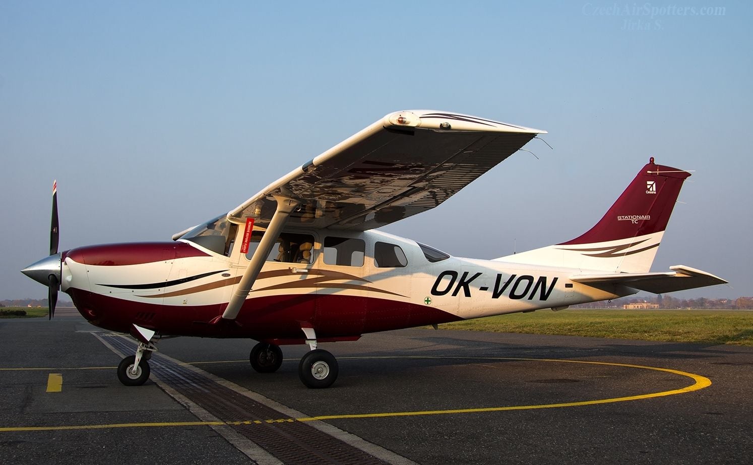 OK-VON
Single-engine turbocharged.
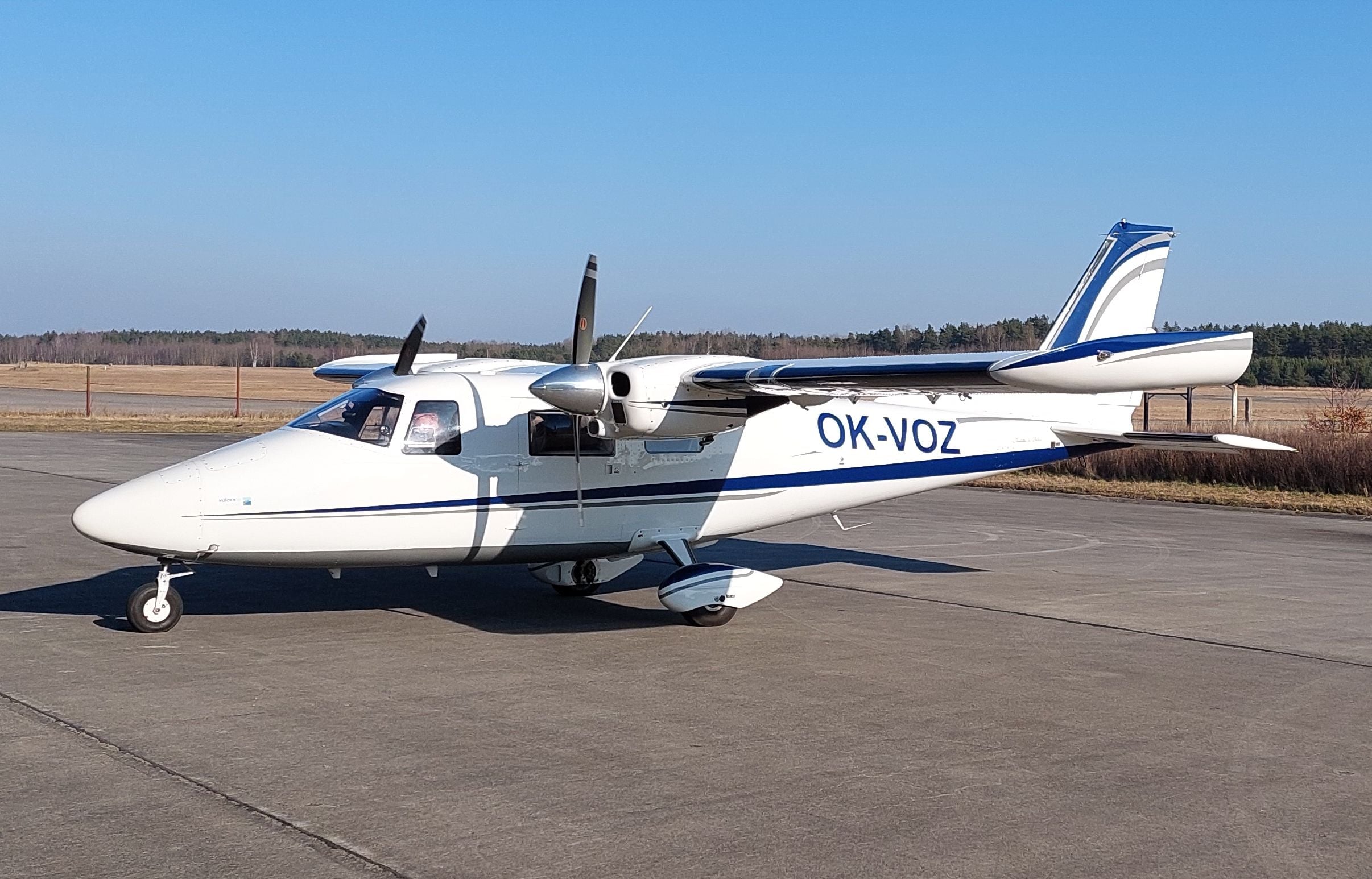 OK-VOZ
Italian twin-engine observer.
Aerial cameras
The right format for every project – from large-area nationwide maps to local detailed photography. GSD from 3 cm.
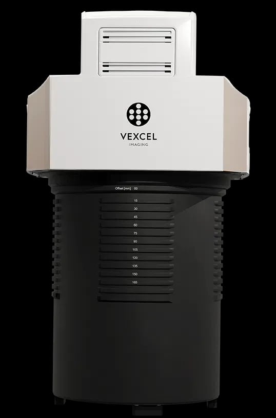 New
NewExtreme swath width – a giant sensor with 37 500 pixels for by far the fastest nationwide and area-wide mapping.
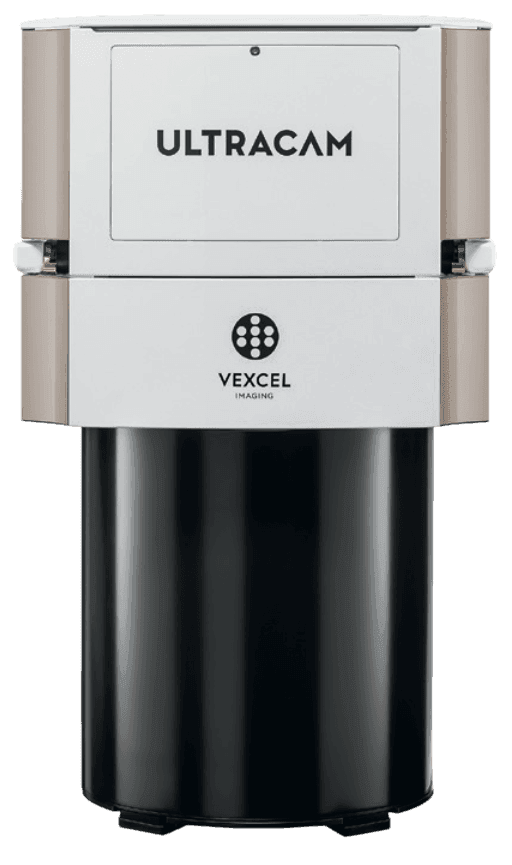 Workhorse
A versatile all-rounder for topography and corridor mapping from any altitude.
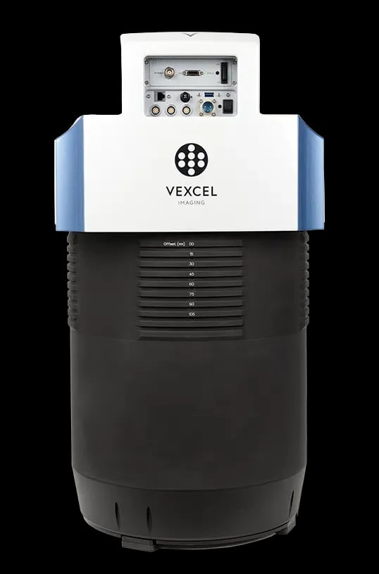 Upgrade
A five-camera hybrid – 1× nadir + 4× oblique imagery at 45° for 3D city models.
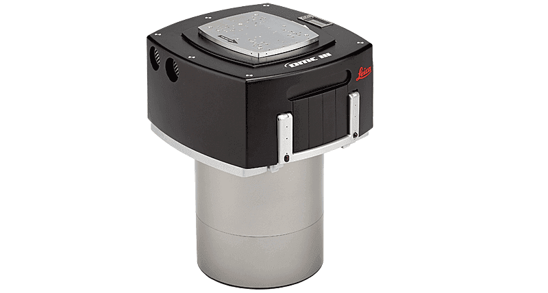
Monolithic precision – a five-head CMOS sensor for projects that need a high dynamic range and compatibility with the Leica system.
Comparison
The Osprey captures the scene from 5 angles in a single exposure. Merlin/Eagle/DMC III compete on sensor size.
Oblique
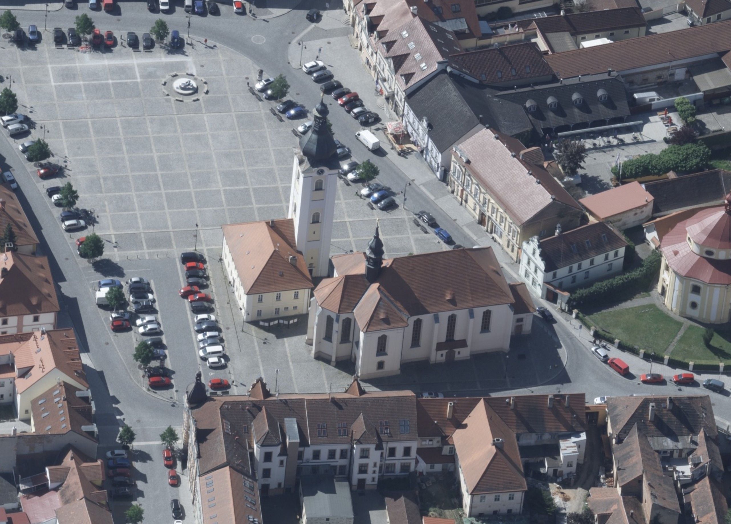
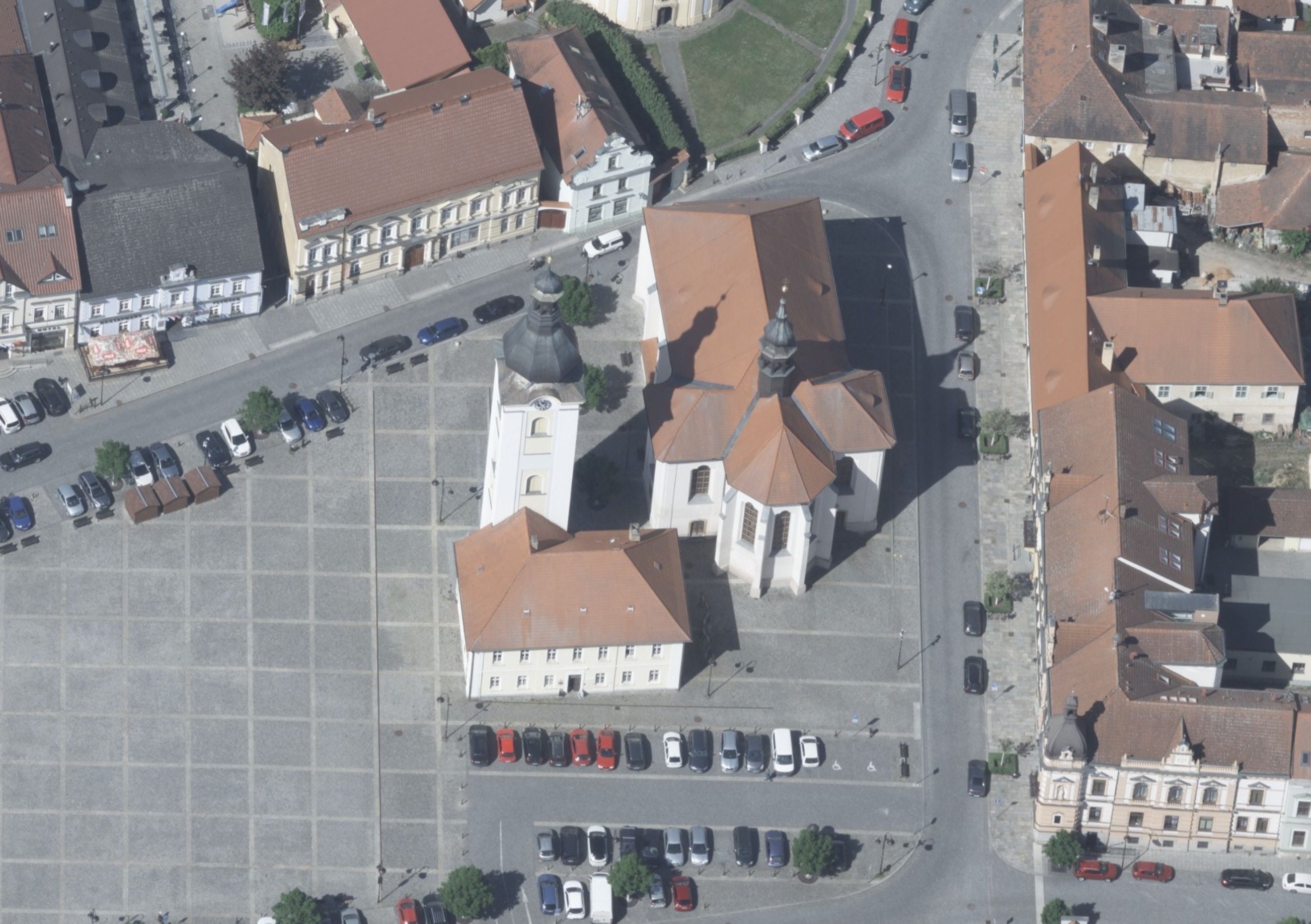
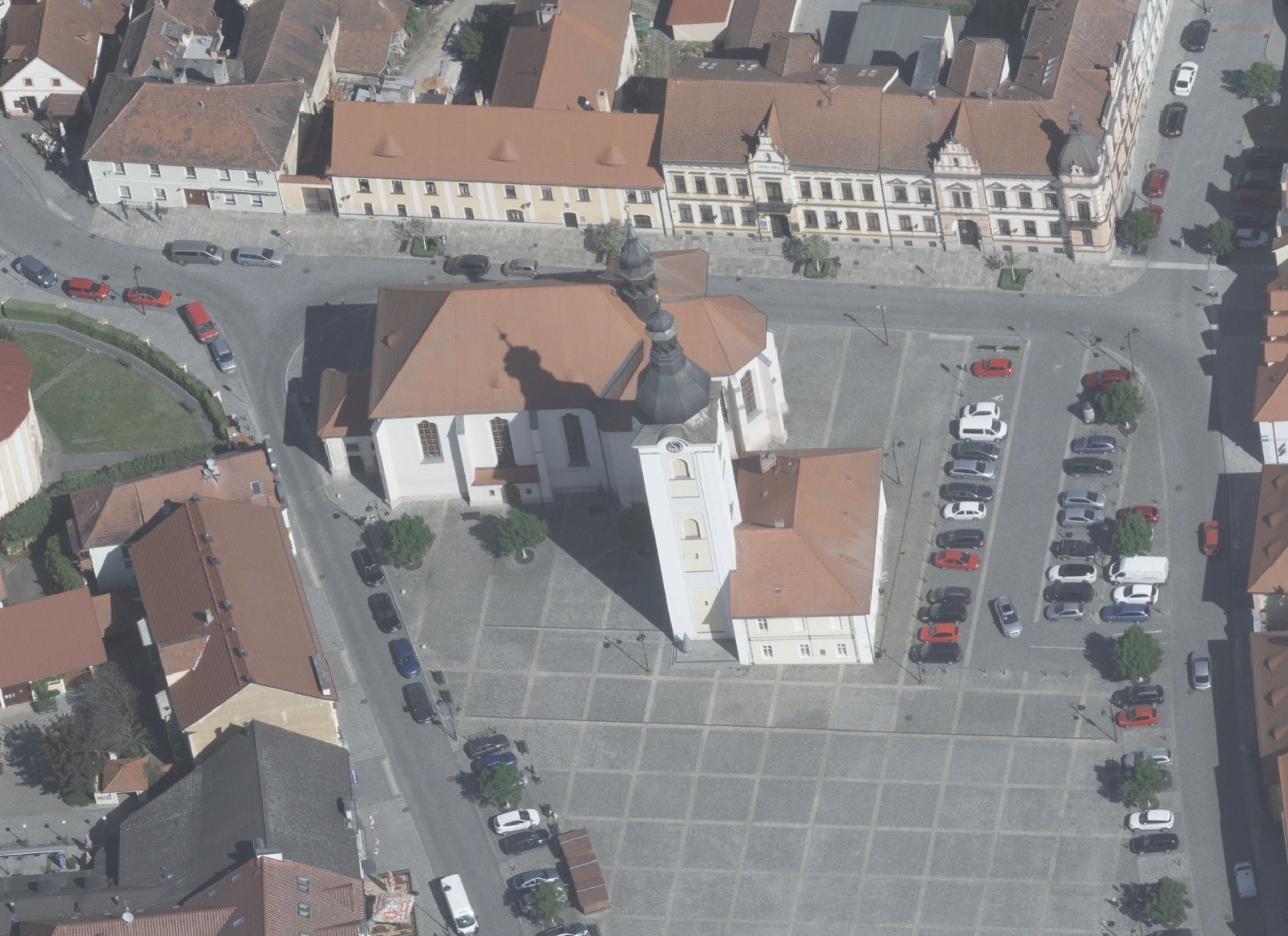
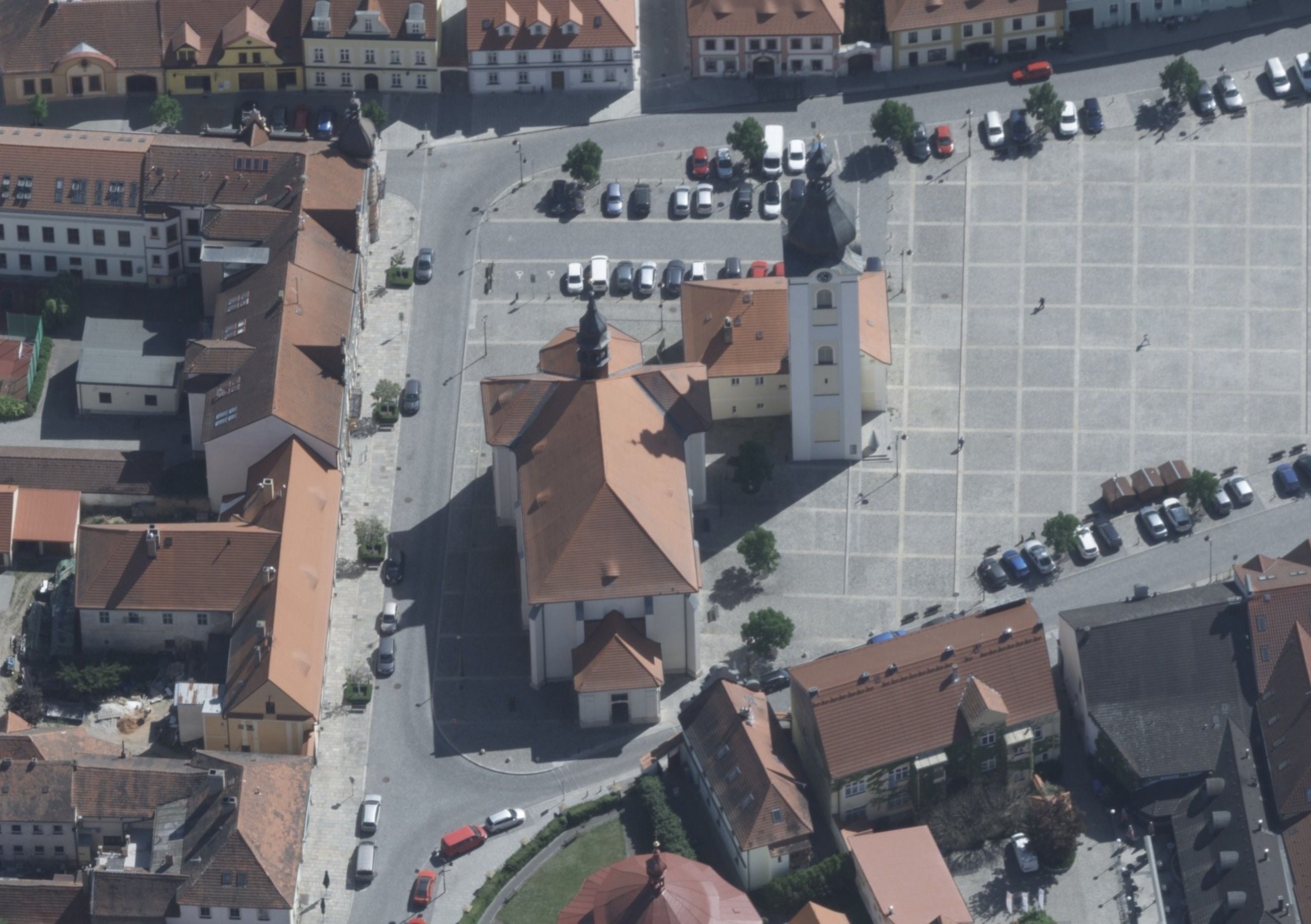
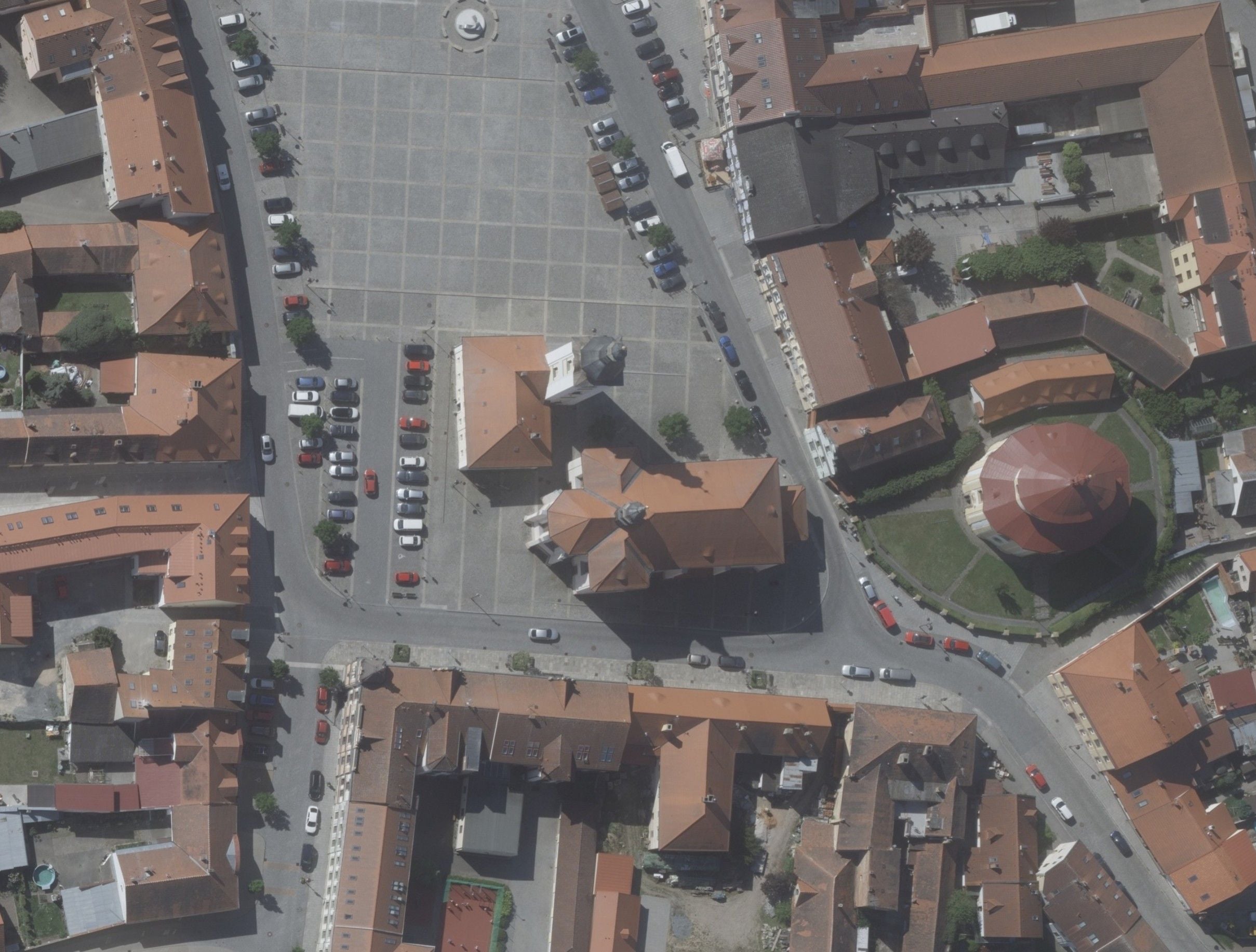
5 angles · 1 exposure
Nadir + 4 oblique (forward / back / left / right). For 3D city models and facades.
Nadir
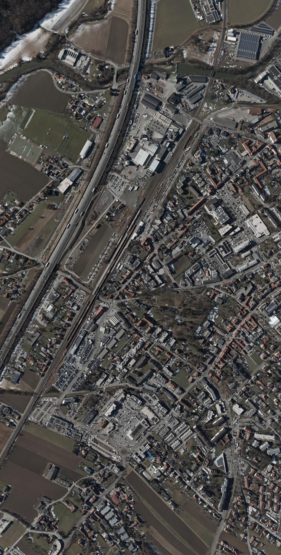 1 875 × 950 m
UltraCam Merlin 5.0
37 500 × 19 000 px
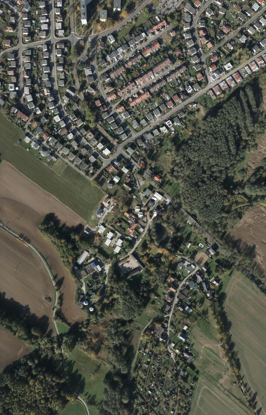 1 323 × 850 m
UltraCam Eagle M3
26 460 × 17 004 px
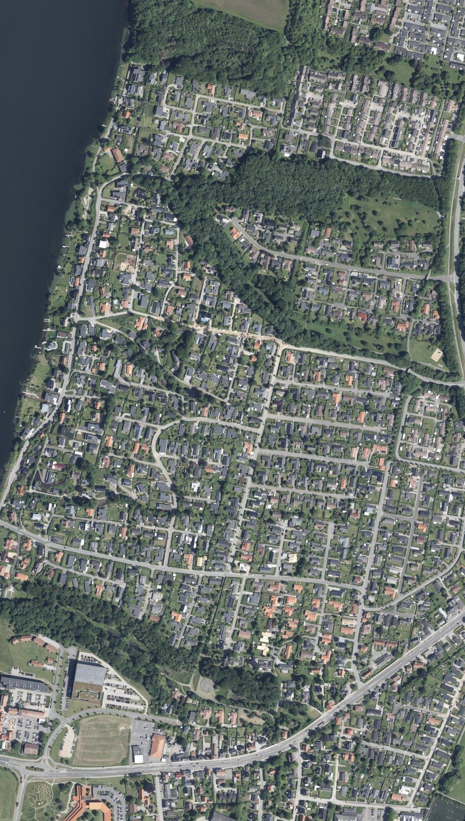 1 286 × 730 m
Leica DMC III
25 728 × 14 592 px
A larger sensor = a larger area covered in one exposure at the same GSD. Fewer flights, faster production.
Airborne laser scanning (ALS)
Airborne LiDAR combined with metric cameras – a 3D point cloud and reference imagery in a single flight.
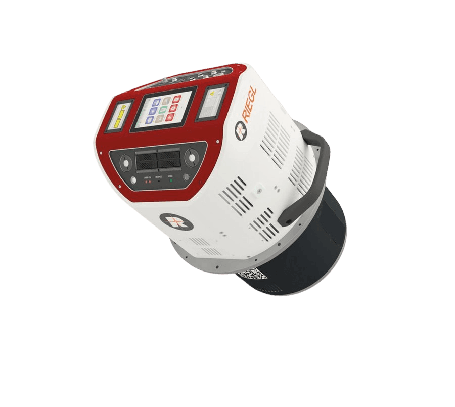
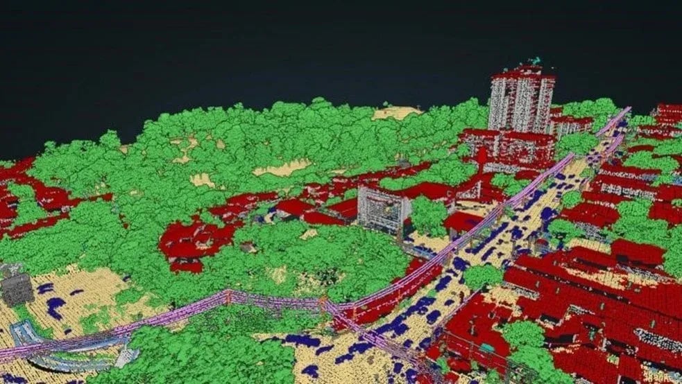
Airborne laser scanner combined with metric cameras – a 4.4MHz LiDAR with enormous area throughput for precise terrain models beneath vegetation and highly detailed city models.
Typical projects
Mobile mapping system (MMS)
Ground-based LiDAR with a 360° range and a panoramic camera – ideal for corridors and densely built-up areas where an aerial view simply is not enough.
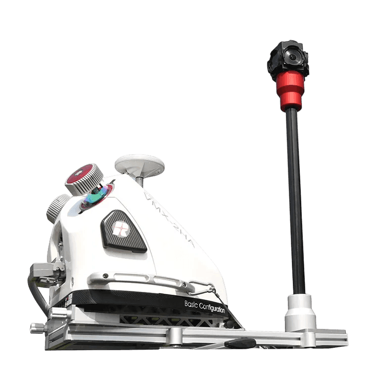
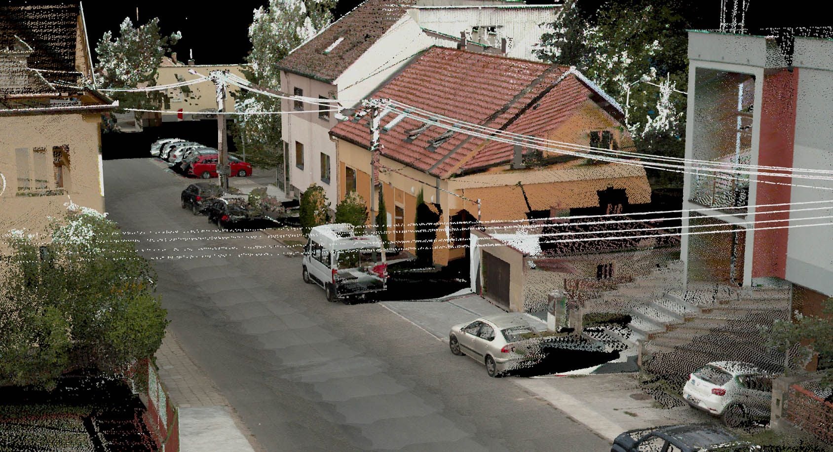
Mobile giant – a car fitted with a pair of 1.8MHz laser scanners and a spherical camera for real-time 360° mapping while driving.
Typical projects
Surveying on water (USV)
The autonomous vessel adds a third perspective to our airborne and ground-based equipment – we collect spatial data from the air, from the ground and below the water surface.
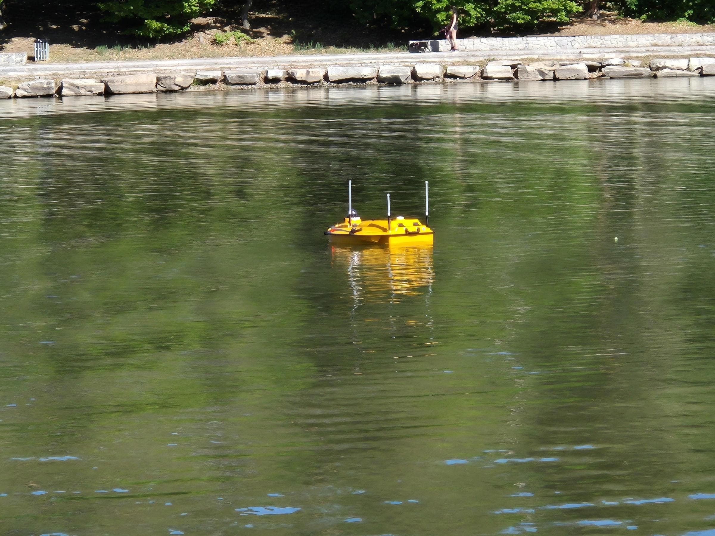
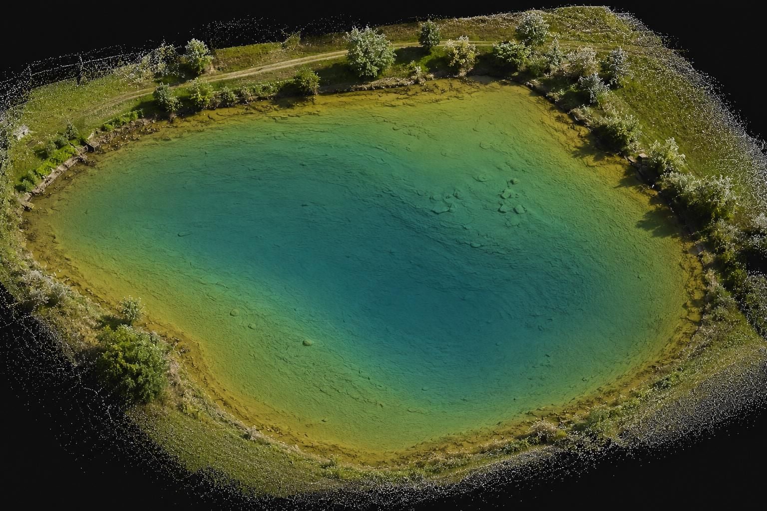
Autonomous unmanned surface vessel (USV) with an echo sounder and GNSS RTK. It maps the bed of reservoirs, ponds and watercourses systematically along planned profiles – faster, more safely and with better repeatability than surveying from a boat.
Typical projects
Analogue imagery
Using a photogrammetric scanner we digitise your archive aerial imagery and turn it into digital aerial photogrammetry products.
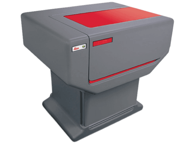
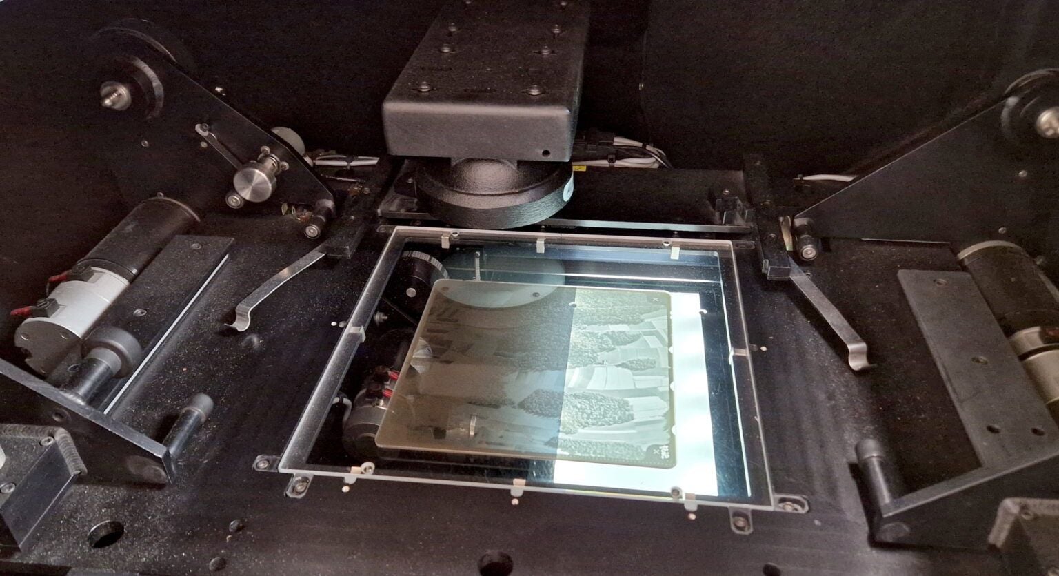
High-precision photogrammetric scanner for digitising archive aerial imagery.
Typical projects
Other equipment
For targeted additional survey, inspections and detailed documentation, the main systems are complemented by further equipment – from drones (unmanned aerial vehicles, UAVs) to total stations. The fleet is based in our own hangar.
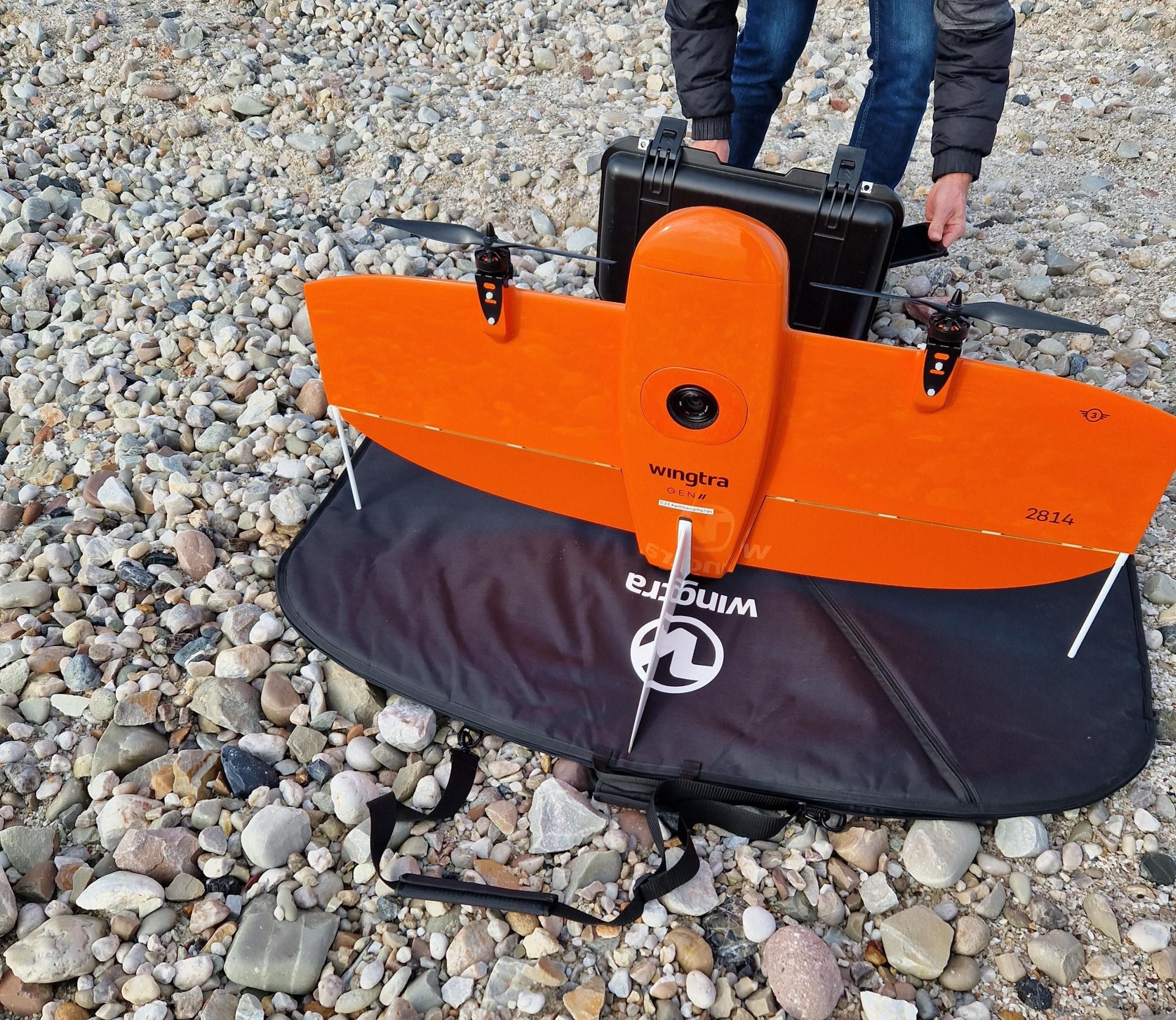
Unmanned aerial vehicle (UAV) platforms for rapid campaigns, hard-to-reach locations and inspections.
DJI Matrice · Wingtra
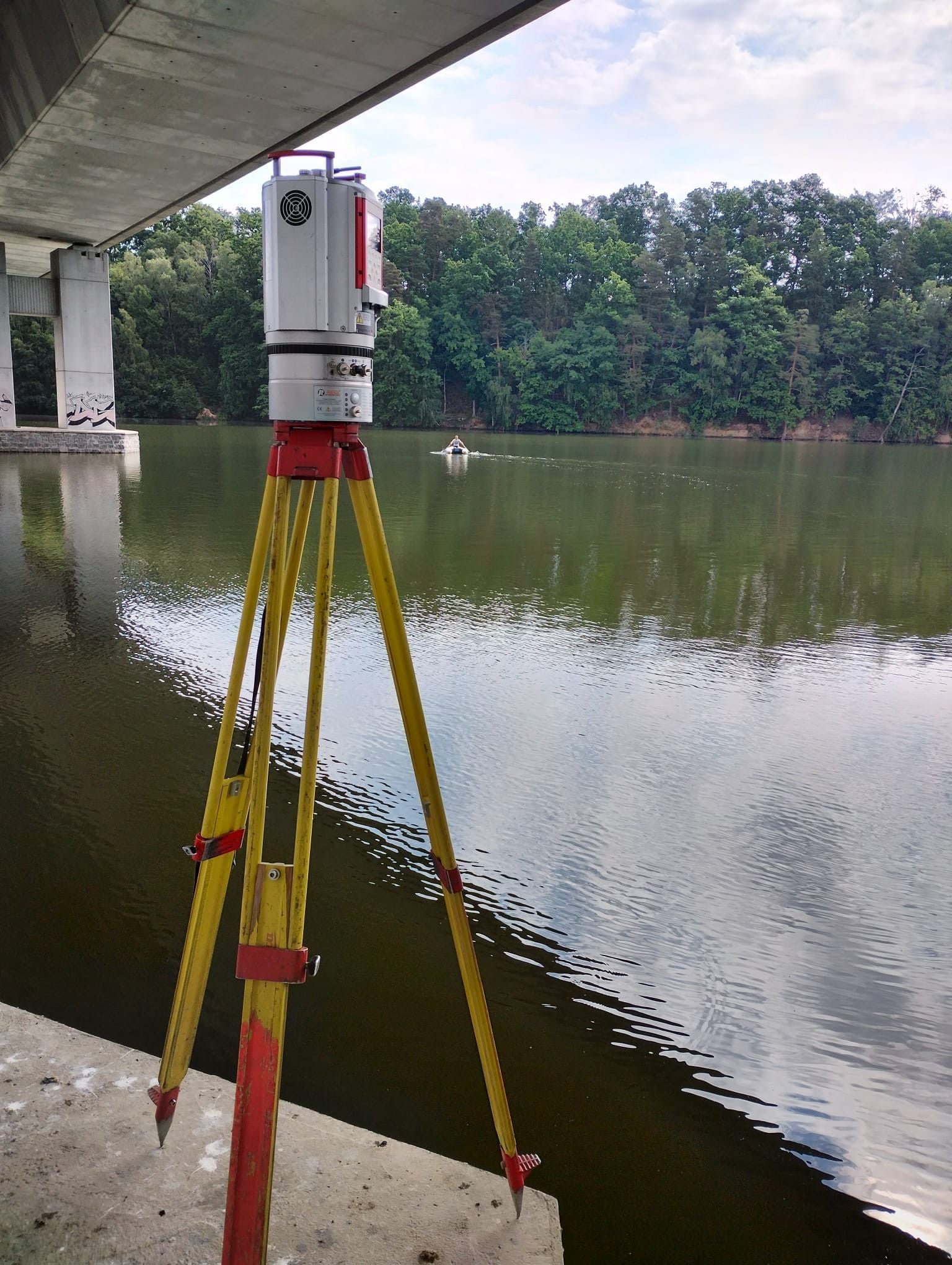
Terrestrial LiDAR for detailed 3D documentation of interiors, facades and civil engineering structures.
Leica RTC360 · Riegl VZ-2000i
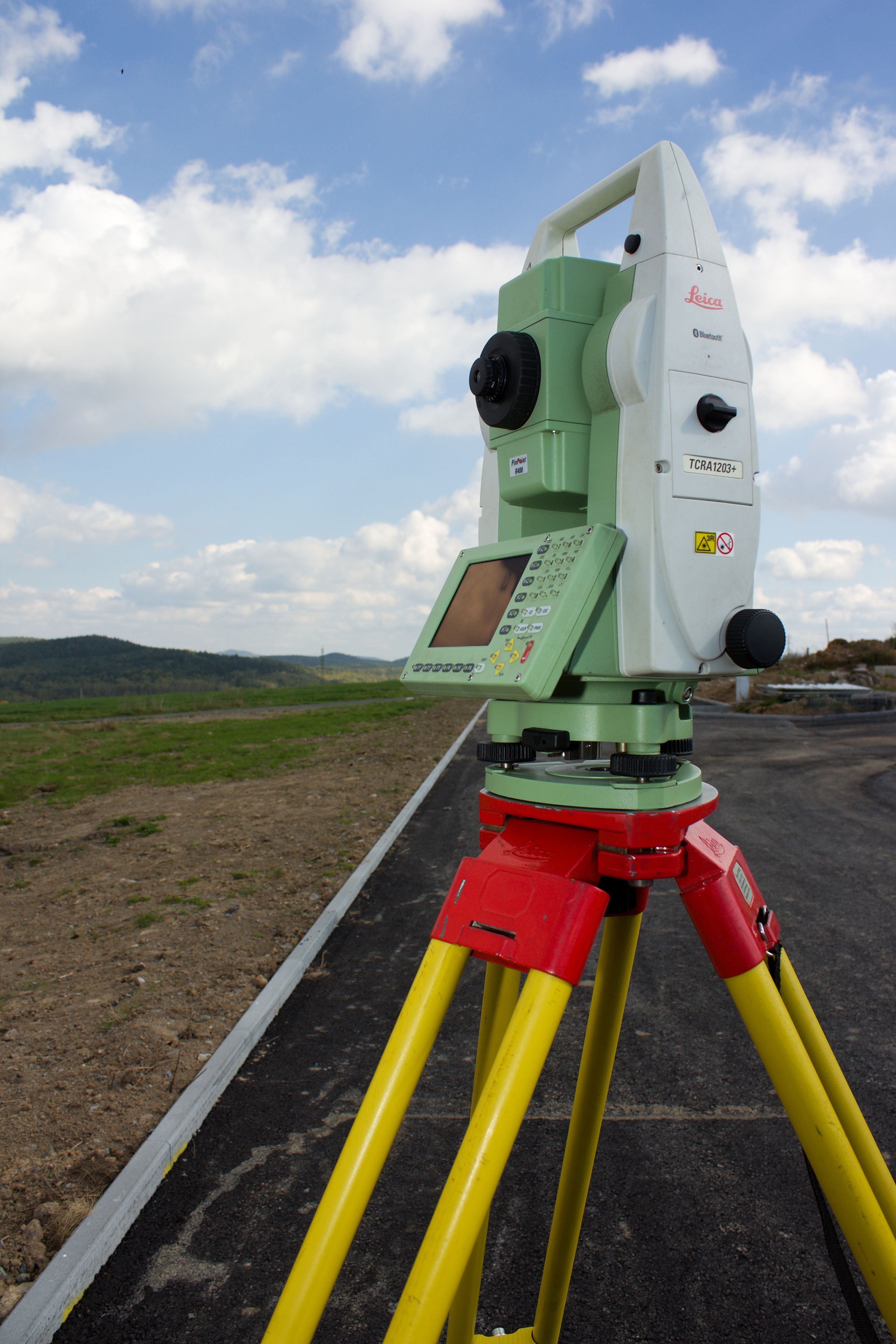
Professional survey equipment for centimetre-level ground surveys and setting out.
Trimble (including Trimble One) · Leica · GNSS rovers · total stations
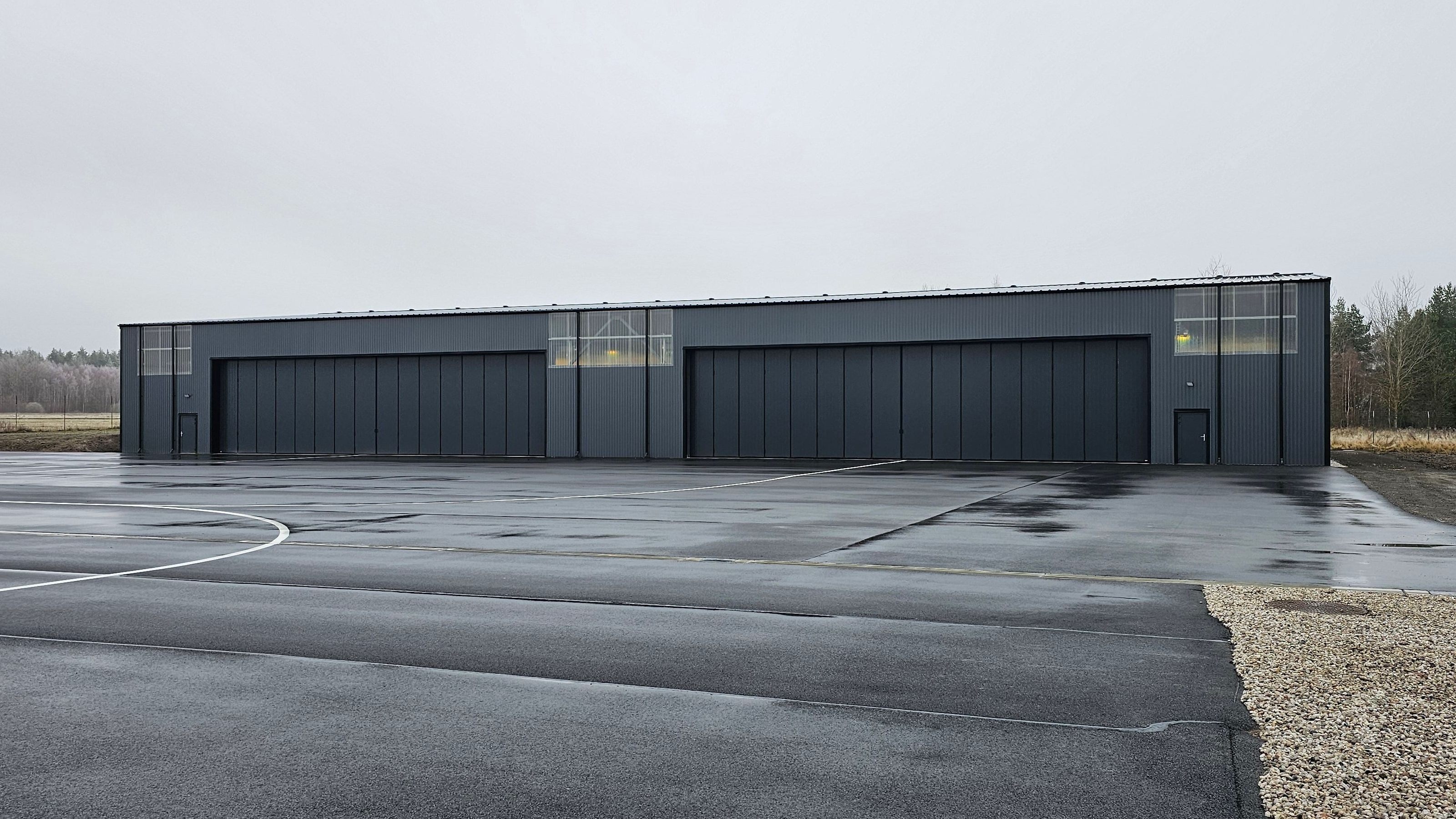
Karlovy Vary, final building approval December 2025.
Full technical facilities for the entire fleet – maintenance, sensor calibration and dispatch to projects.
Software & partnerships
We process the collected data in professional photogrammetric, CAD and GIS platforms – both partner platforms and our own in-house development.

We build geoportals on the ArcGIS platform, develop extensions for it and integrate it with our own applications – from desktop to web.
ESRI PartnerA GIS platform for managing, analysing and publishing spatial data.
Open-source GIS – deployment and extension development.
GIS applications developed in-house by GEOREAL.
CAD processing and reality modelling.
Photogrammetric processing of aerial imagery.
Raster data processing and remote sensing.
A photogrammetric production suite.
A photogrammetric production platform.
Looking for a specific solution built on one of our technologies?