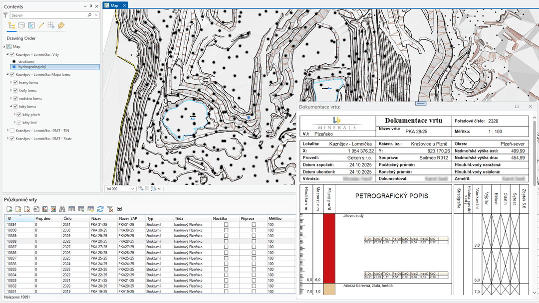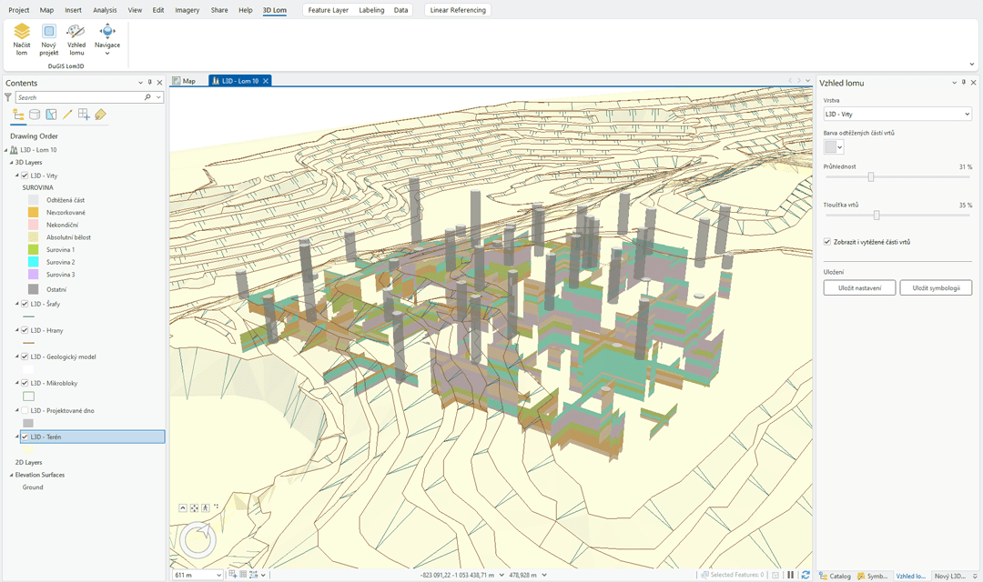
DuGIS is a specialised GIS for mining companies and the state mining administration. It provides systematic management of mining lease areas, mine workings, mineral deposits and related technological structures in line with the Mining Act No. 44/1988 Coll.
3D records of mine workings
The system keeps three-dimensional records of surface and underground mine workings, linked to mining lease areas and deposits. The mine surveyor works with a ready-made data model for boreholes, excavations, deformation monitoring and quarry maps.
Extraction progress planning and reporting
DuGIS supports the planning of extraction progress, production statistics and the monitoring of reserves, including the generation of detailed source material for plans of opening-up, preparation and extraction (POPD). The outputs meet the requirements of the mining authorities.
Deployment in practice
The system is deployed at major Czech mining companies – both as a desktop extension for ESRI ArcGIS and as a web portal.