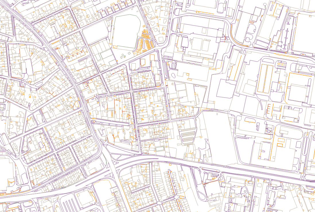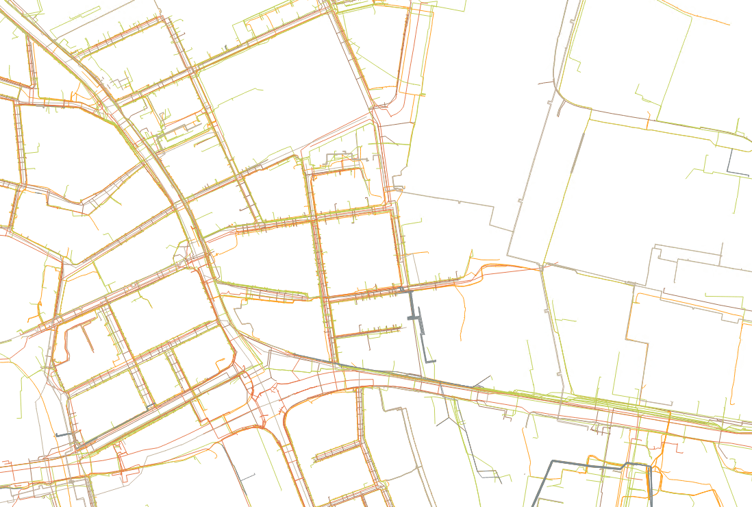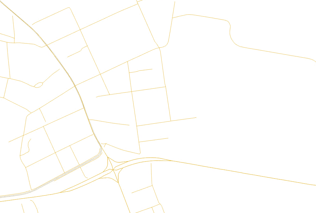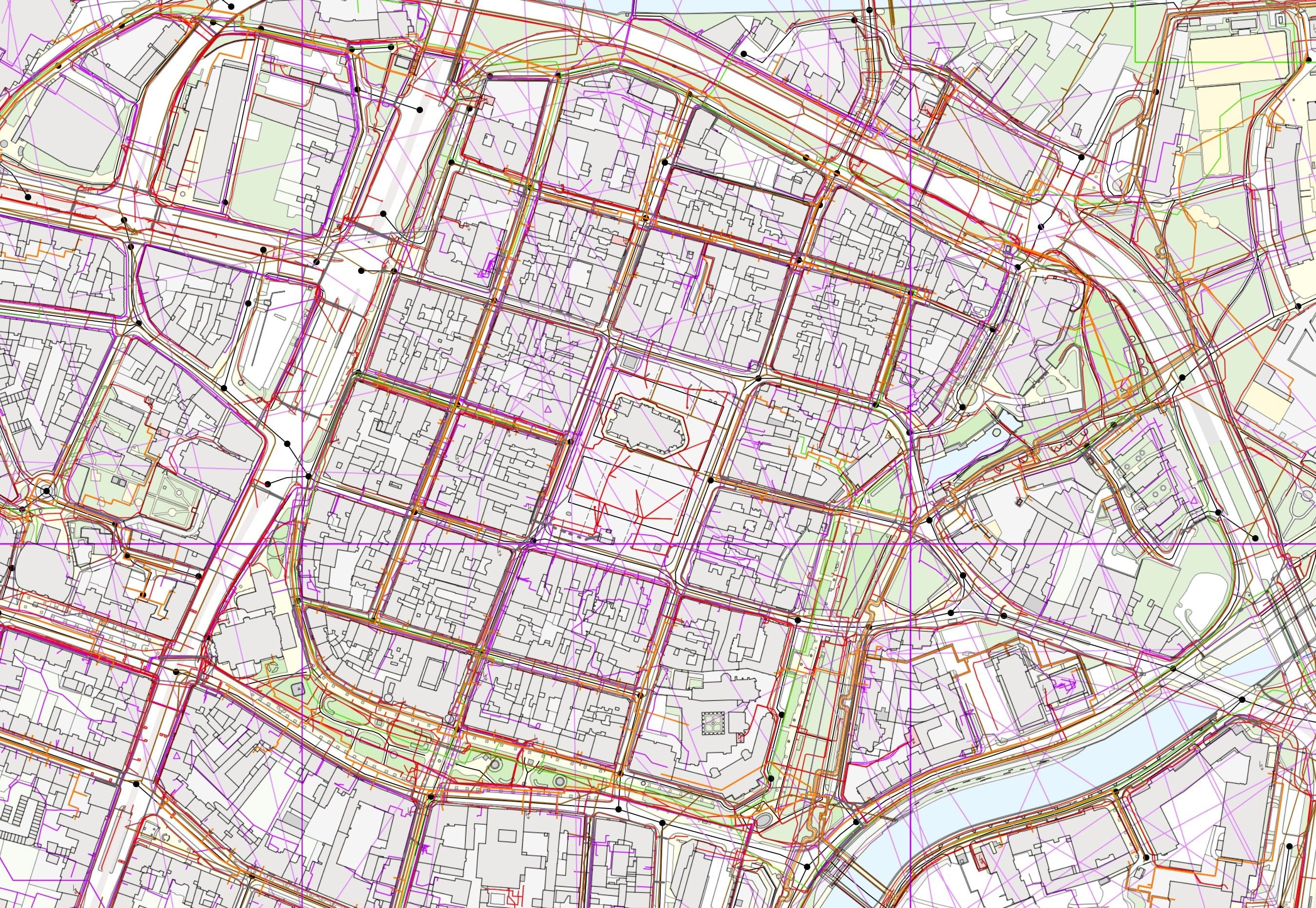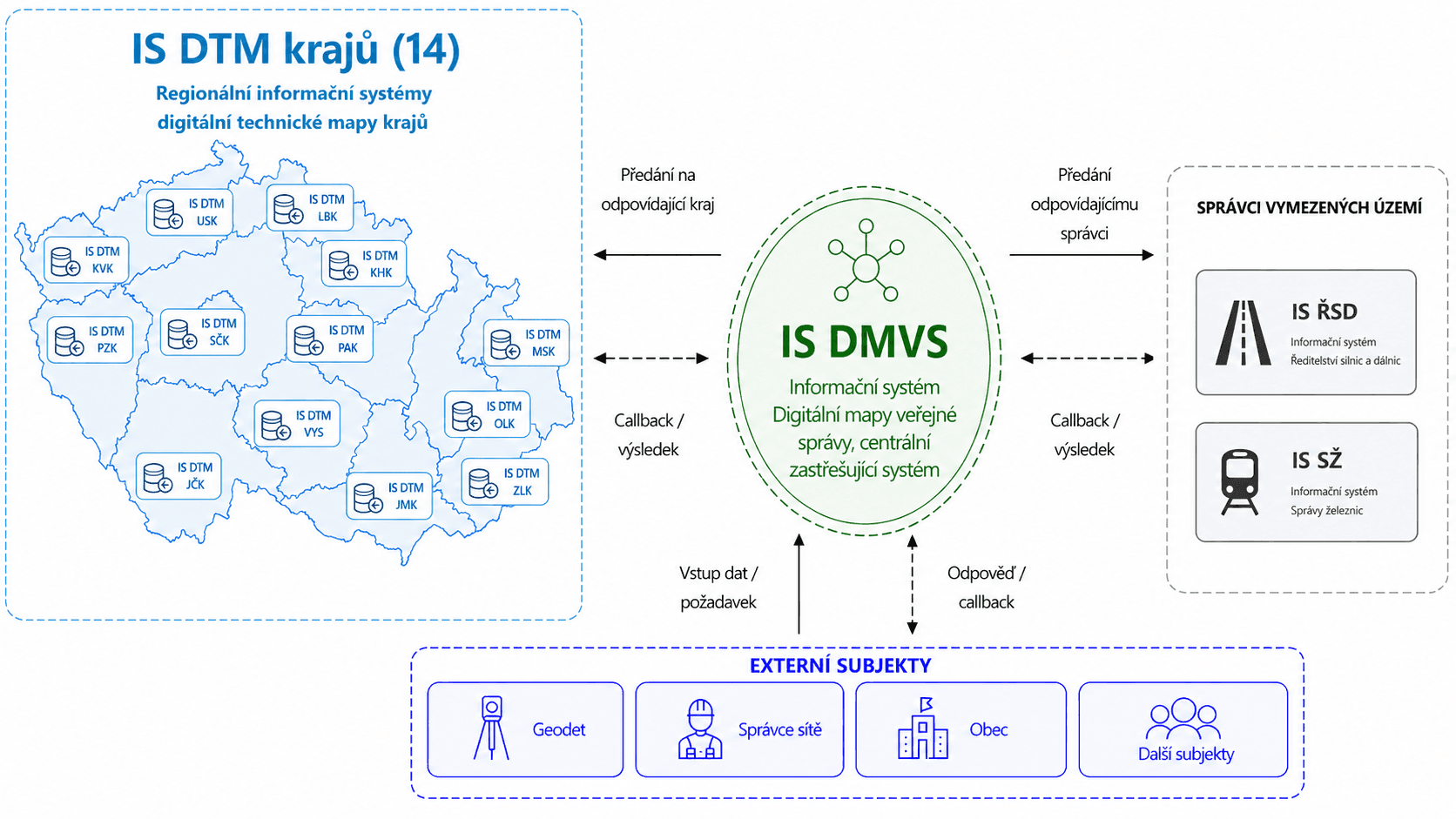
The Digital Technical Map (DTM) is an unprecedented nationwide project that unifies spatial data across the whole of the Czech Republic. It brings accuracy, transparency and a modern way of working with information about the territory. The DTM creates a single, verified and continuously updated data source that makes it possible to plan, coordinate and manage the development of the territory efficiently. Thanks to the linking of many data sources and to advanced validation mechanisms, the DTM is one of the most significant steps in the digitisation of public administration.
The DTM is used by regions, municipalities, operators of technical infrastructure, designers and other specialist bodies. It serves as a reliable basis for the preparation of construction projects, the coordination of works, asset management and decision-making about the territory. It allows everyone to work with uniform, up-to-date data, which simplifies communication, reduces errors and speeds up the whole process of planning and delivering projects.