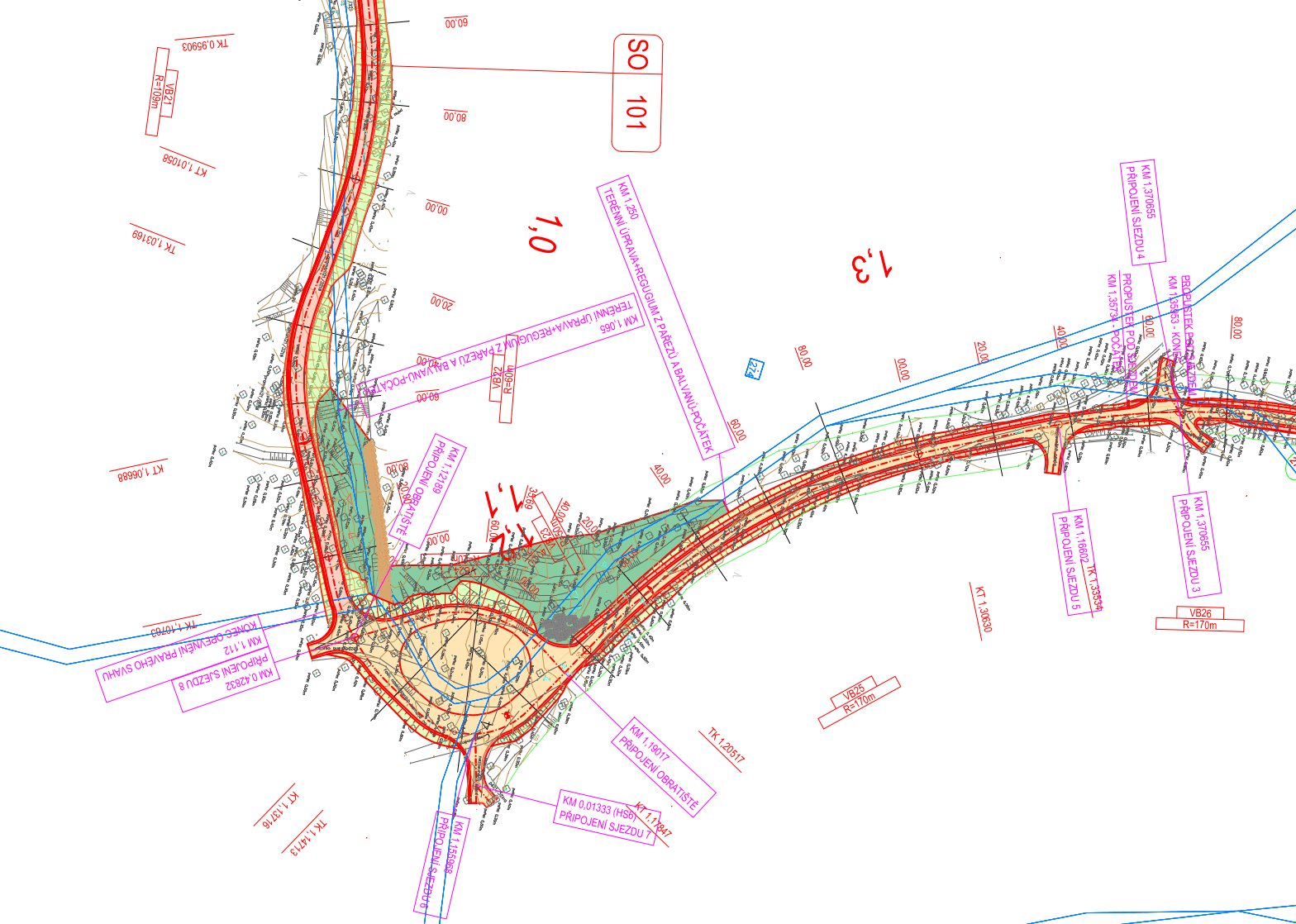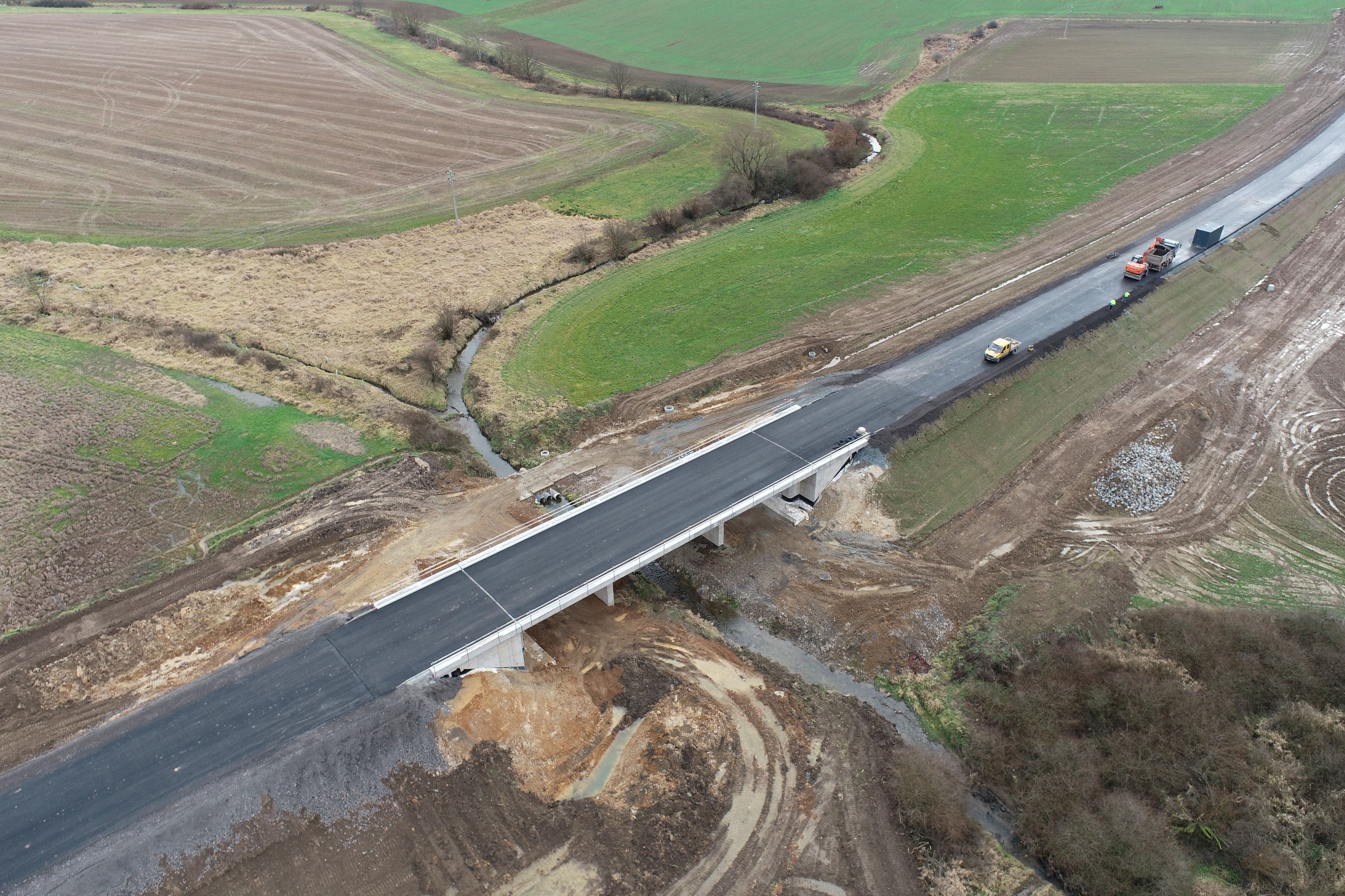
We prepare designs for roads, local roads, pavements and paths for pedestrians and cyclists, special-purpose roads (field and forest roads), paved areas and car parks – comprehensively, including the related structures, drainage and any utility diversions the works trigger.
We obtain the source data with our own resources: surveys of planimetry and altimetry, map data and the cadastral map, a survey of existing utility networks, an engineering geological investigation, a dendrological survey of the trees to be felled and spatial planning documents.
At the project stage we help set the best way forward, negotiate the works with state administration bodies, local authorities and utility operators, and take them through to the permit. During construction we provide the designer's supervision and the client's technical supervision – we check that the design is being followed and approve modifications and alternative solutions.
We design in Autodesk Civil 3D and MicroStation; cost estimates are prepared in KROS. The detailed design can be delivered including 3D models of bulk earthworks and pavements for machine control on site.