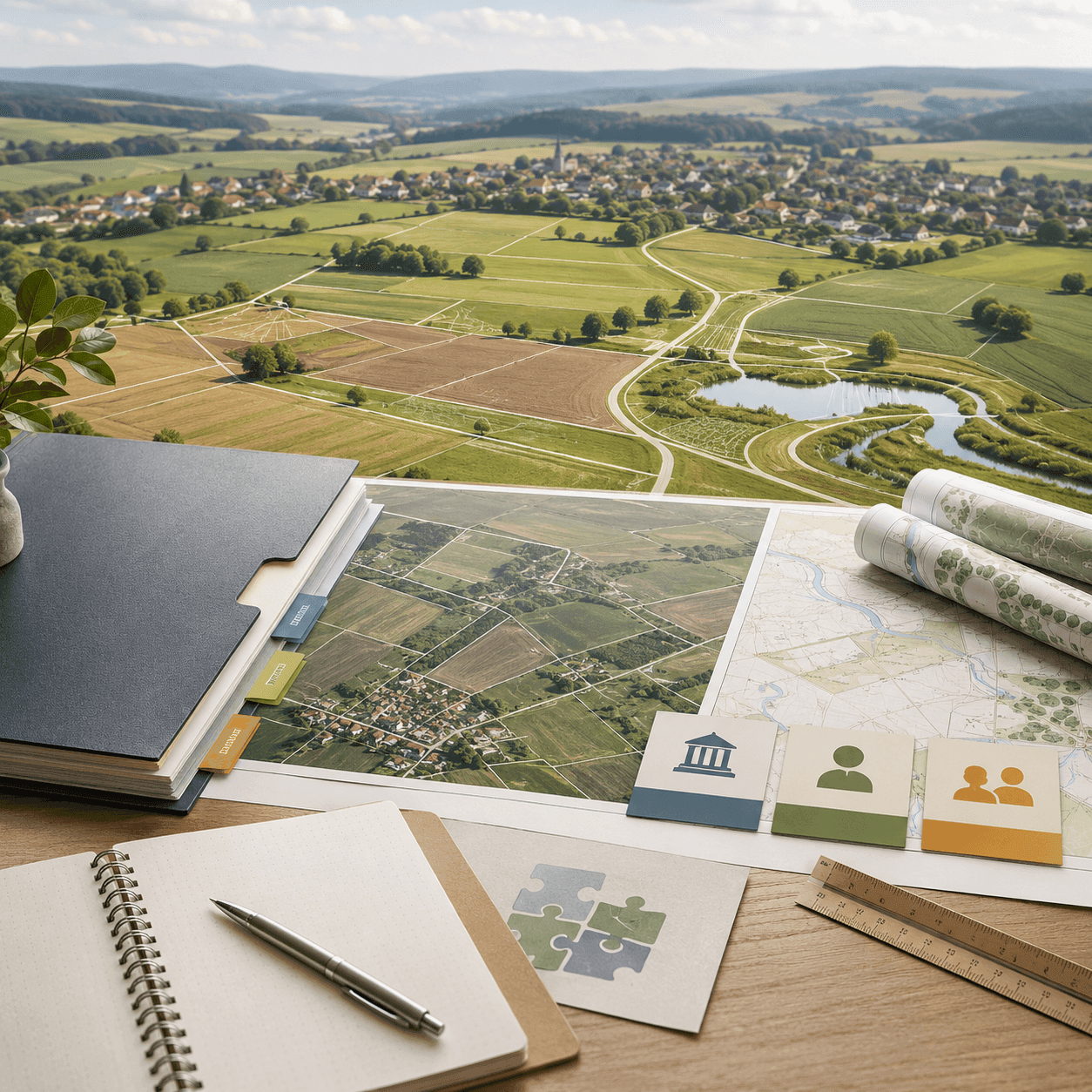
The designs are prepared by authorised land consolidation designers. We survey the as-built condition of the area with our own surveying teams; where it pays off, we can supplement the source data with our own aerial photography and photogrammetry, without having to order it from anyone else.
We hand over the documentation in the land consolidation exchange format (VFP) – without it the State Land Office cannot accept it. Outputs for the cadastre are prepared in the form the cadastral office accepts, including the inputs for the renewal of the cadastral records and for the new digital cadastral map.
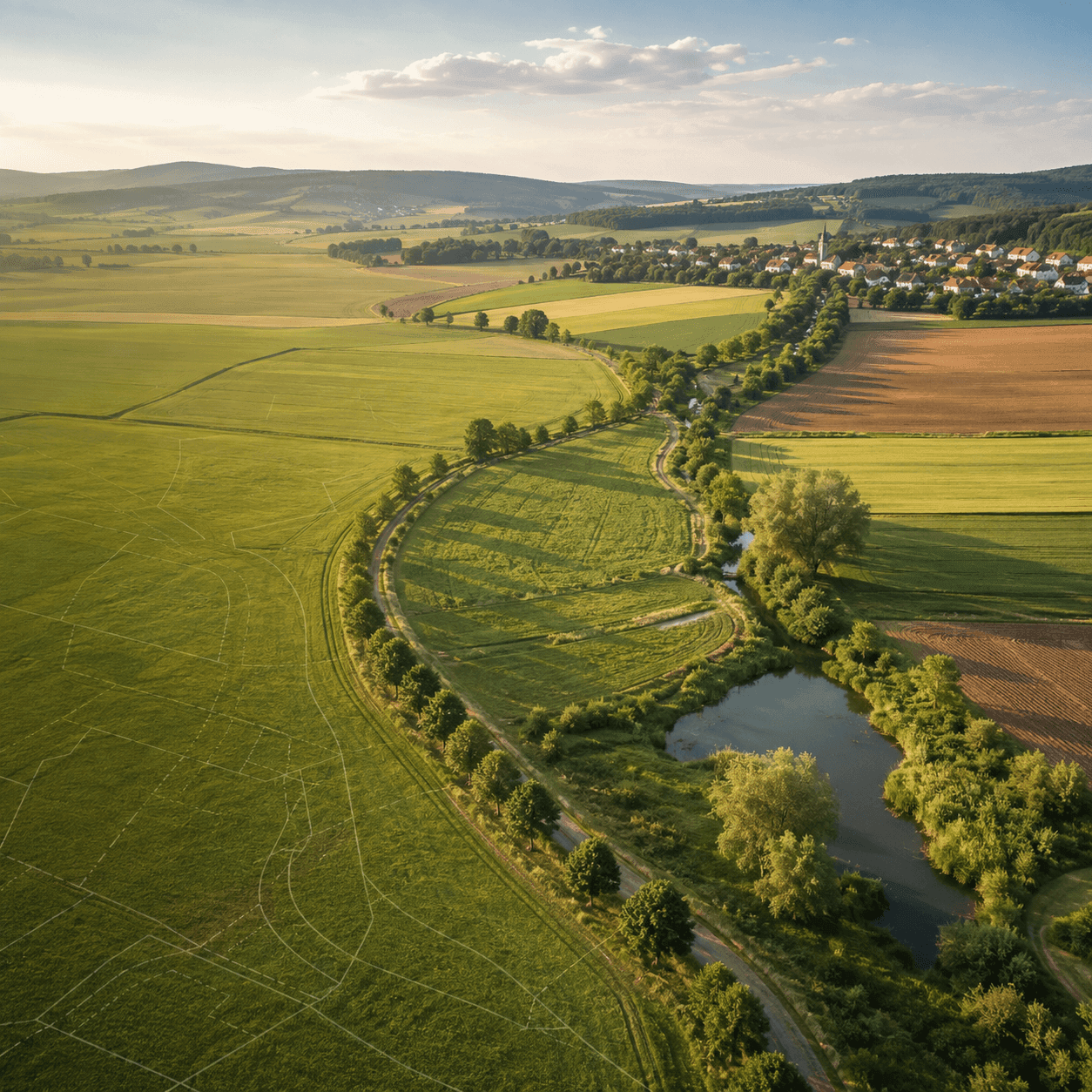
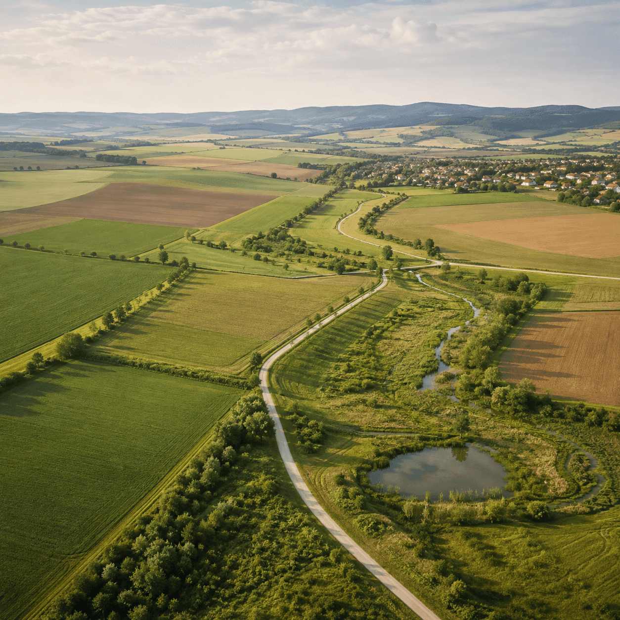
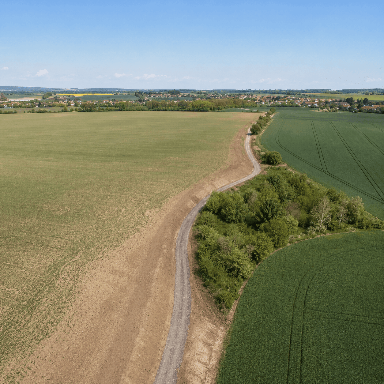
And we can carry on from land consolidation: farm tracks, small water reservoirs, pools or ÚSES elements from the plan of common facilities are taken by our authorised engineers from the concept through to detailed design documentation and design supervision.