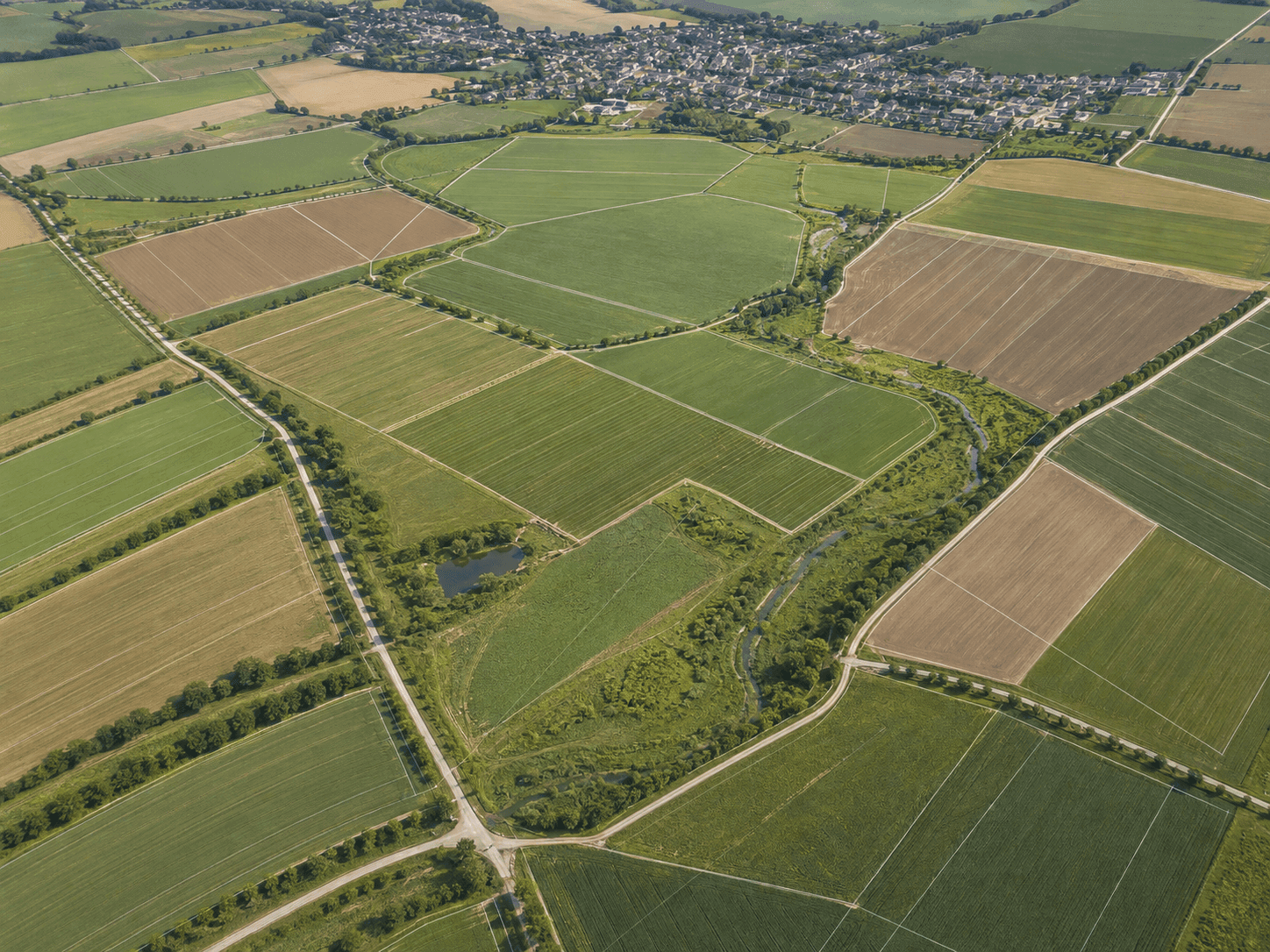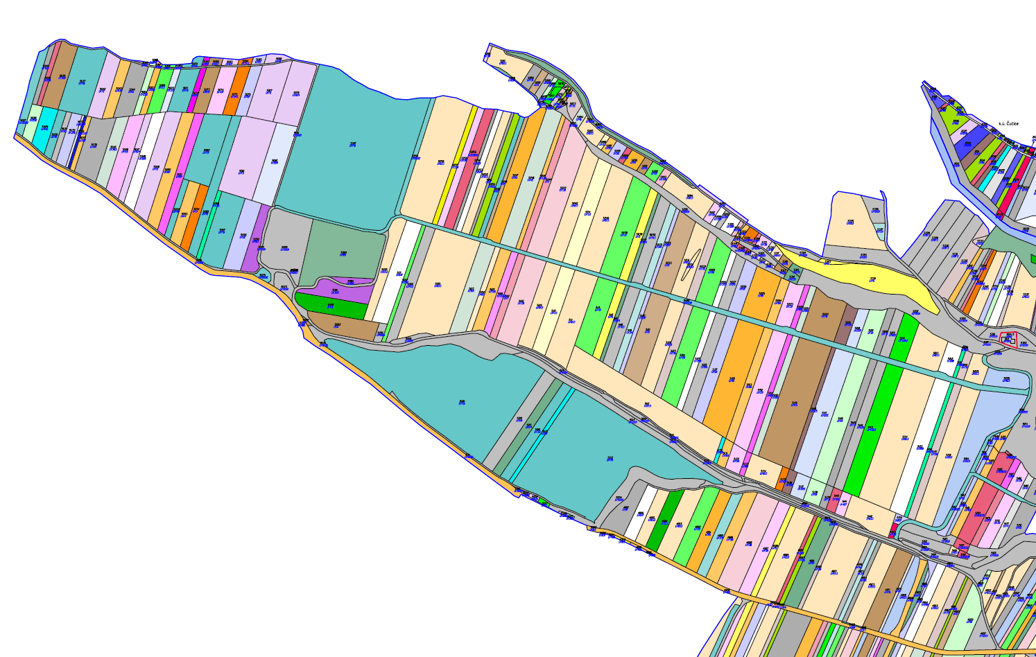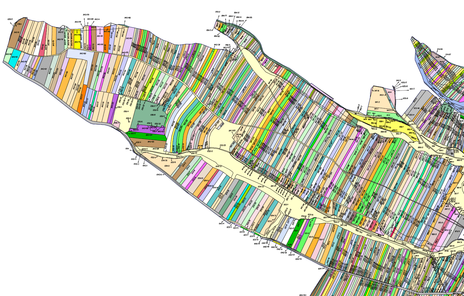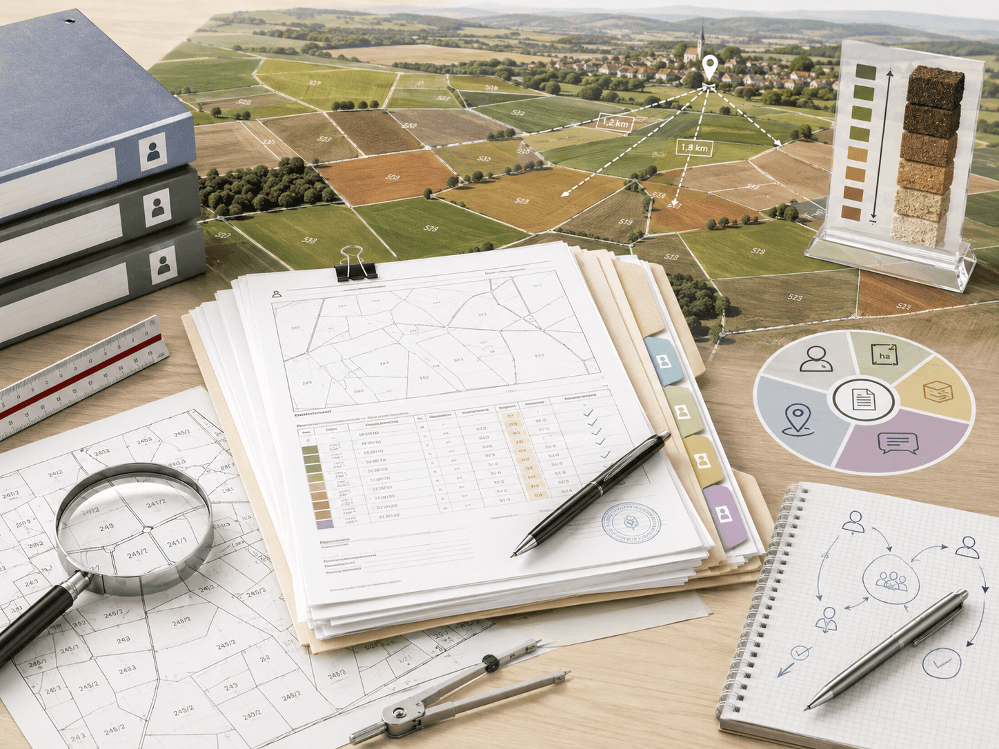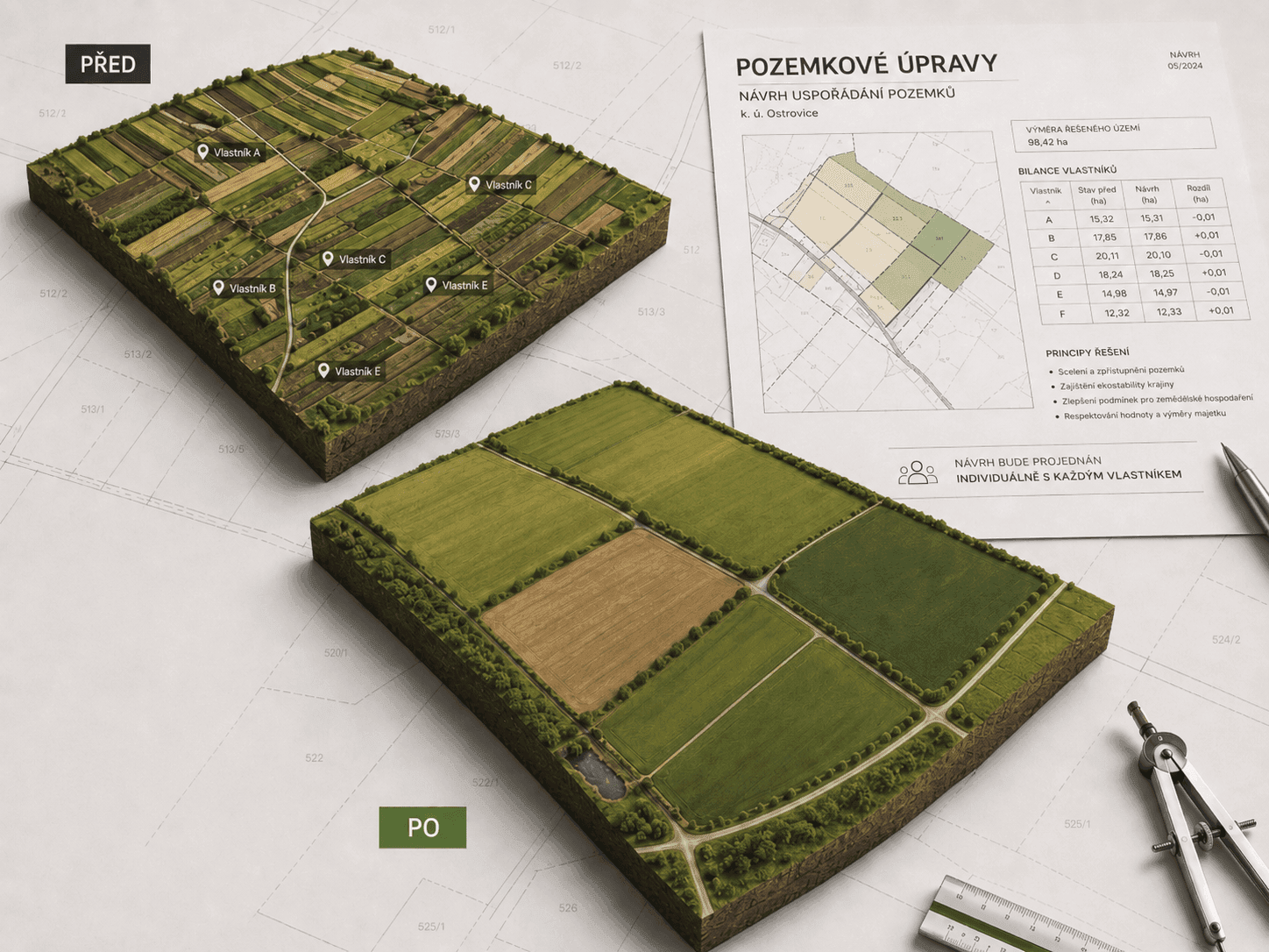
Comprehensive land consolidation is governed by Act No. 139/2002 Coll. It rearranges the ownership of agricultural land in spatial and functional terms: it merges fragmented parcels, secures access to the blocks of ownership and settles discrepancies between the situation on the ground and the Cadastre of Real Estate.
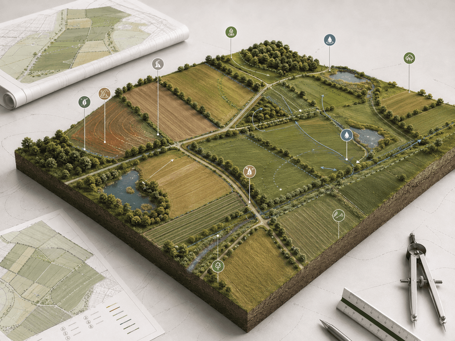
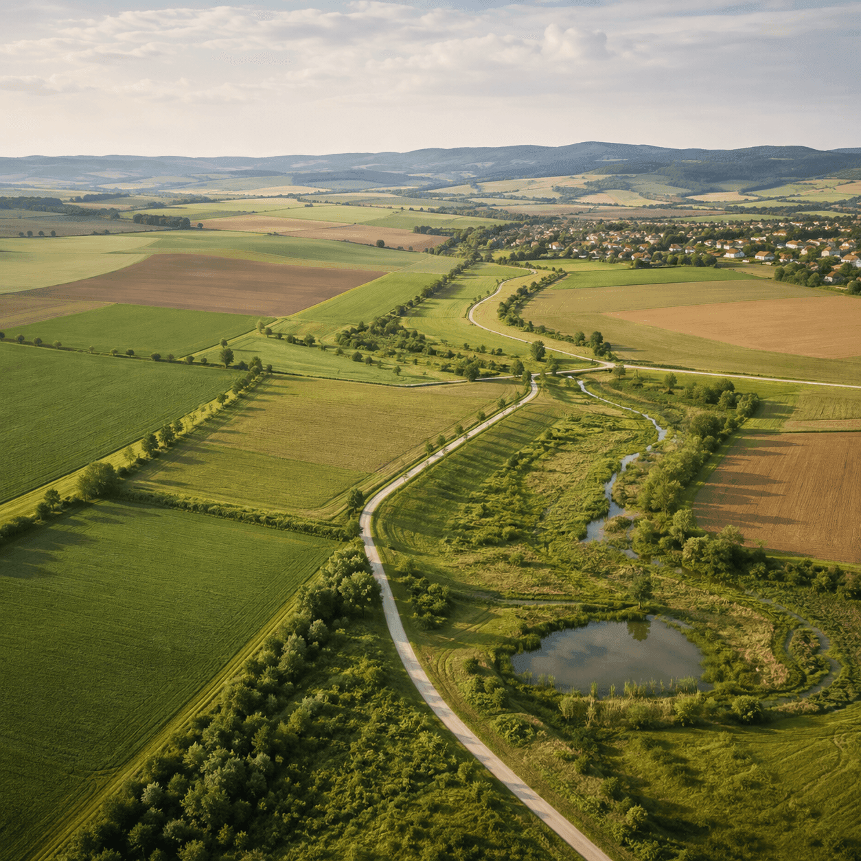
A mandatory part of it is the plan of common facilities – a network of field roads, erosion control and water management measures and elements of the territorial system of ecological stability (ÚSES). It is this plan that turns land consolidation into a tool that retains water in the landscape, protects the soil against erosion and gives the municipality a long-term investment programme.
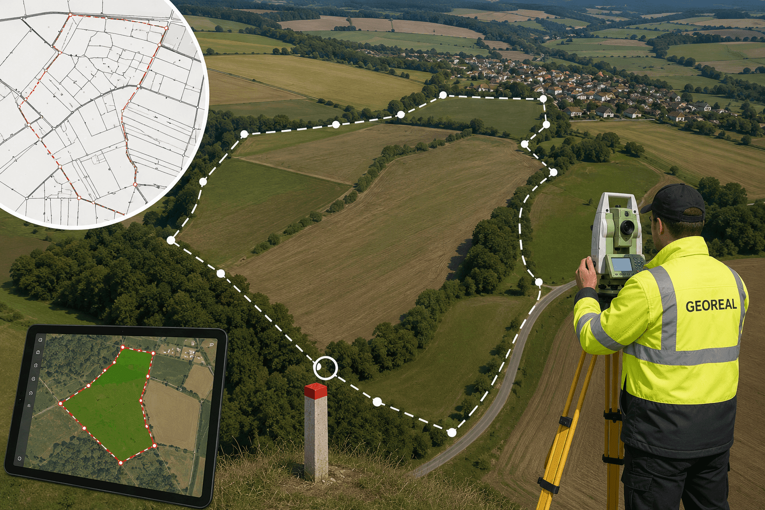
The procedure ends with a decision of the Land Office on the exchange or transfer of ownership rights and with the renewal of the cadastral records – across the whole area affected by the land consolidation a new digital cadastral map is created, with the highest accuracy of boundary break points that the current legislation allows. We handle the entire process with our own capacity: from the preparatory surveying work through the design work under the appropriate professional authorisation – including consultation with the public authorities concerned and, not least, with the landowners – to the preparation of the documents for entering the renewed cadastral records on the basis of the outcome of the land consolidation.