

Orthophoto and true orthophoto
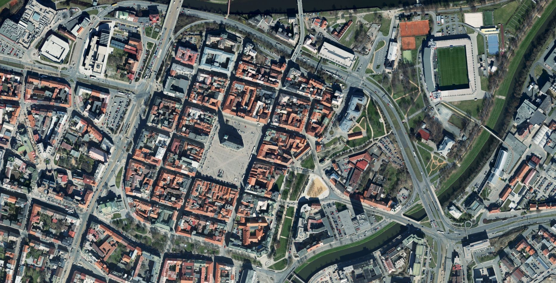
Accurate, measurable map bases that faithfully capture every detail of an area. The standard version for area-wide mapping, the true version for work in built-up areas, where every centimetre counts.
Figures that speak
What we deliver in practice
from 1 cm
GSD
100 %
Coverage
32 b
Colour depth
5+
Formats
What it is for
An accurate map base
Two approaches
Approaches
We produce two types of orthophoto. They differ in how the imagery is rectified and in what they suit best.
Orthophoto
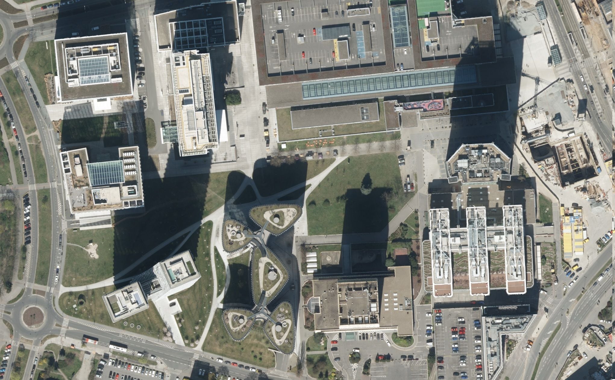
A seamless mosaic of aerial imagery in a coordinate system, rectified against a terrain model. A real and readable image of the landscape with high informational value. An ideal area-wide base for spatial planning, GIS and mapping of large territories. Measurement is reliable at ground level.
True orthophoto
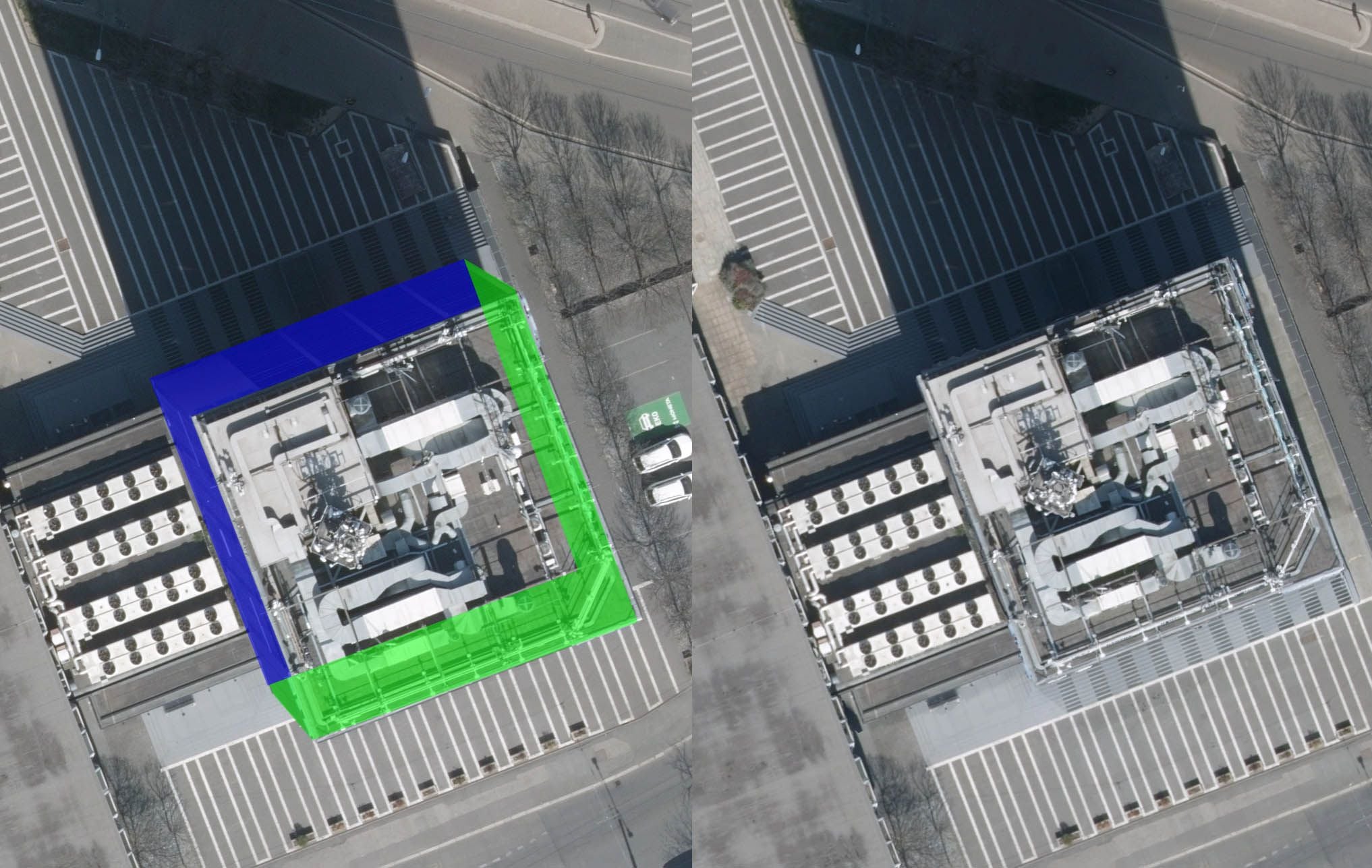
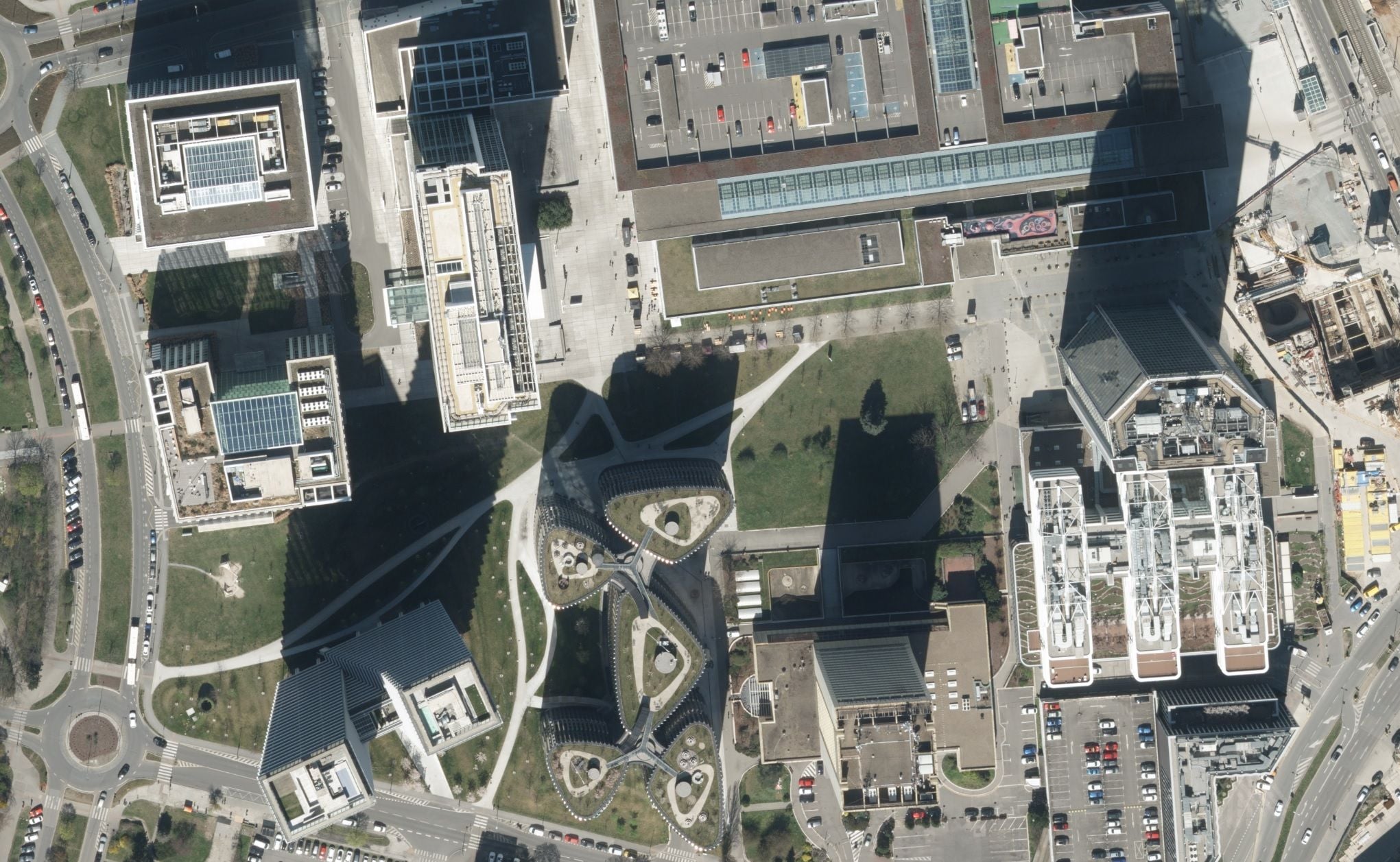
A true nadir projection of every object – terrain and buildings alike. It removes roof displacement and occlusions, so you can measure and vectorise at every level. It is computed from a digital surface model (DSM). The most accurate base for towns, infrastructure and detailed documentation.
Two approaches
Approaches
We produce two types of orthophoto. They differ in how the imagery is rectified and in what they suit best.
Orthophoto
A seamless mosaic of aerial imagery in a coordinate system, rectified against a terrain model. A real and readable image of the landscape with high informational value. An ideal area-wide base for spatial planning, GIS and mapping of large territories. Measurement is reliable at ground level.
True orthophoto
A true nadir projection of every object – terrain and buildings alike. It removes roof displacement and occlusions, so you can measure and vectorise at every level. It is computed from a digital surface model (DSM). The most accurate base for towns, infrastructure and detailed documentation.
Where the difference lies
Quality you can see in the data itself

Leaf-on or leaf-off photography
For technical and survey purposes it is usually better to fly outside the growing season, when trees obscure neither the terrain nor structures. Because we operate our own aircraft, we choose the window to match the purpose of the job.
PDF, DWG
Tracking change over time
We supply the current state together with a comparison against an earlier campaign. Ideal for spatial planning, checking how built-up areas develop and landscape analyses.
GeoTIFF, SHP
Our own aircraft = control over quality
We fly our own aircraft, so the date of the flight, its altitude and the image overlap follow the project – not a subcontractor’s spare capacity. The whole chain from flight planning to processing stays with us, which keeps the colour rendition and the geometric accuracy consistent across the whole area.
PDF, XLSX
Higher resolution than satellites
Aerial photography gives centimetres where commonly available satellites offer tens of centimetres to metres – and with full control over how current the data is.

NIR and spectral bands
Besides RGB we also capture the near-infrared band (NIR) – usable for vegetation condition, NDVI, forestry and agriculture.

Ready for your workflow
Georeferenced data in S-JTSK (national grid), in TIFF, JPG or ECW formats or as a WMS / WMTS service – straight into GIS and design tools.
A single flight campaign yields more
Common questions
What you ask us most.
Not sure which orthophoto is the one for you? Talk to our expert.
Contact an expert
Ing. Luboš Hübsch
CCTO