GEOREAL spol. s r.o.

As-built survey of a completed structure

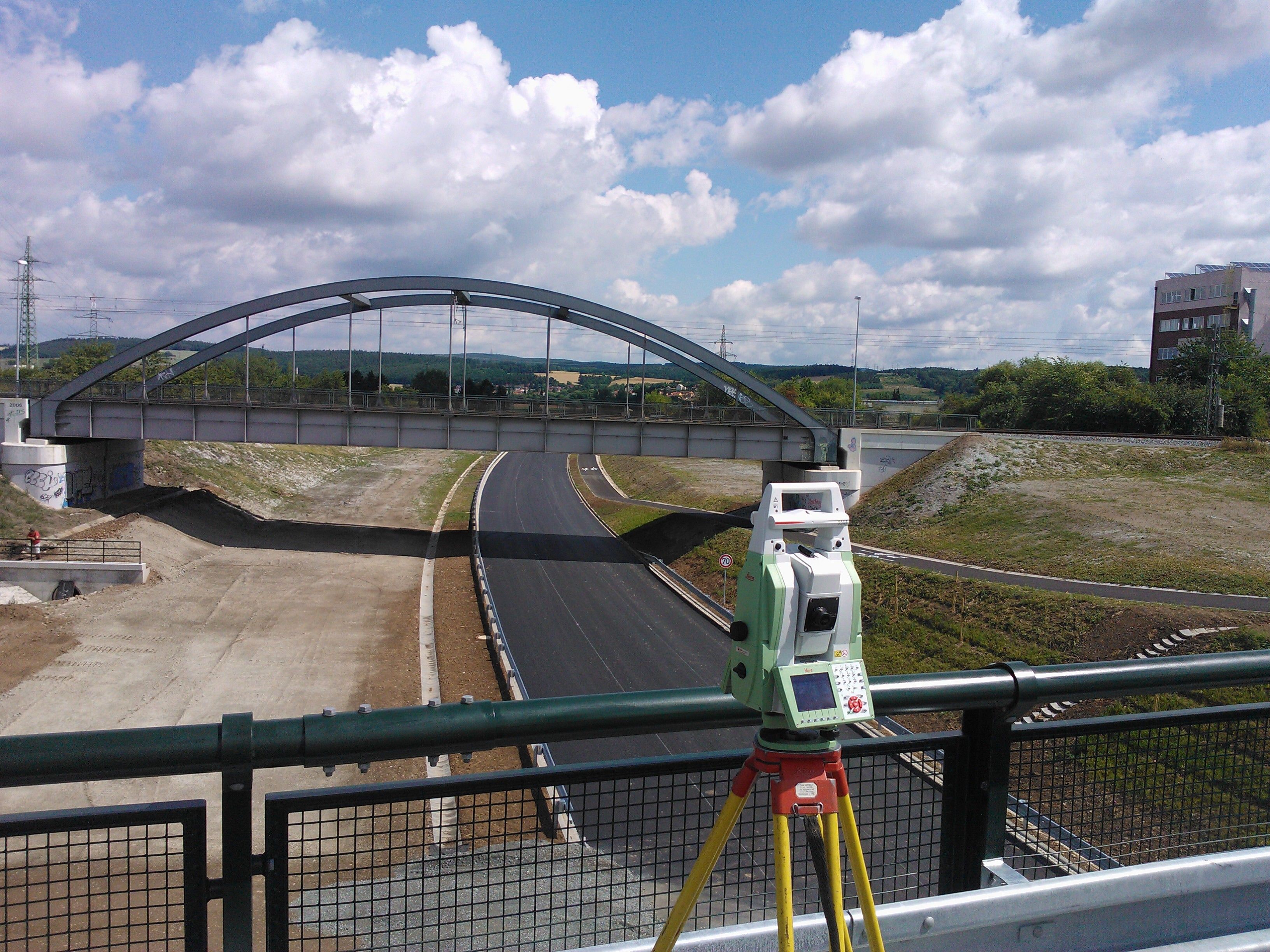
Once construction is finished we survey how it was actually built and prepare the surveying part of the as-built documentation. Utility networks are surveyed before backfilling and the data is handed over in the structures used by the network operators and by the Digital Technical Maps (DTM) of the regions.

Basis for final building approvalNetworks before backfillingOutputs for operators and the DTM
As-built survey of a completed structure

What it is for

Proof of what was actually built

As-built documentation closes the construction stage: it records the position and height of the completed structures and is a condition both of final building approval and of handover of the works.

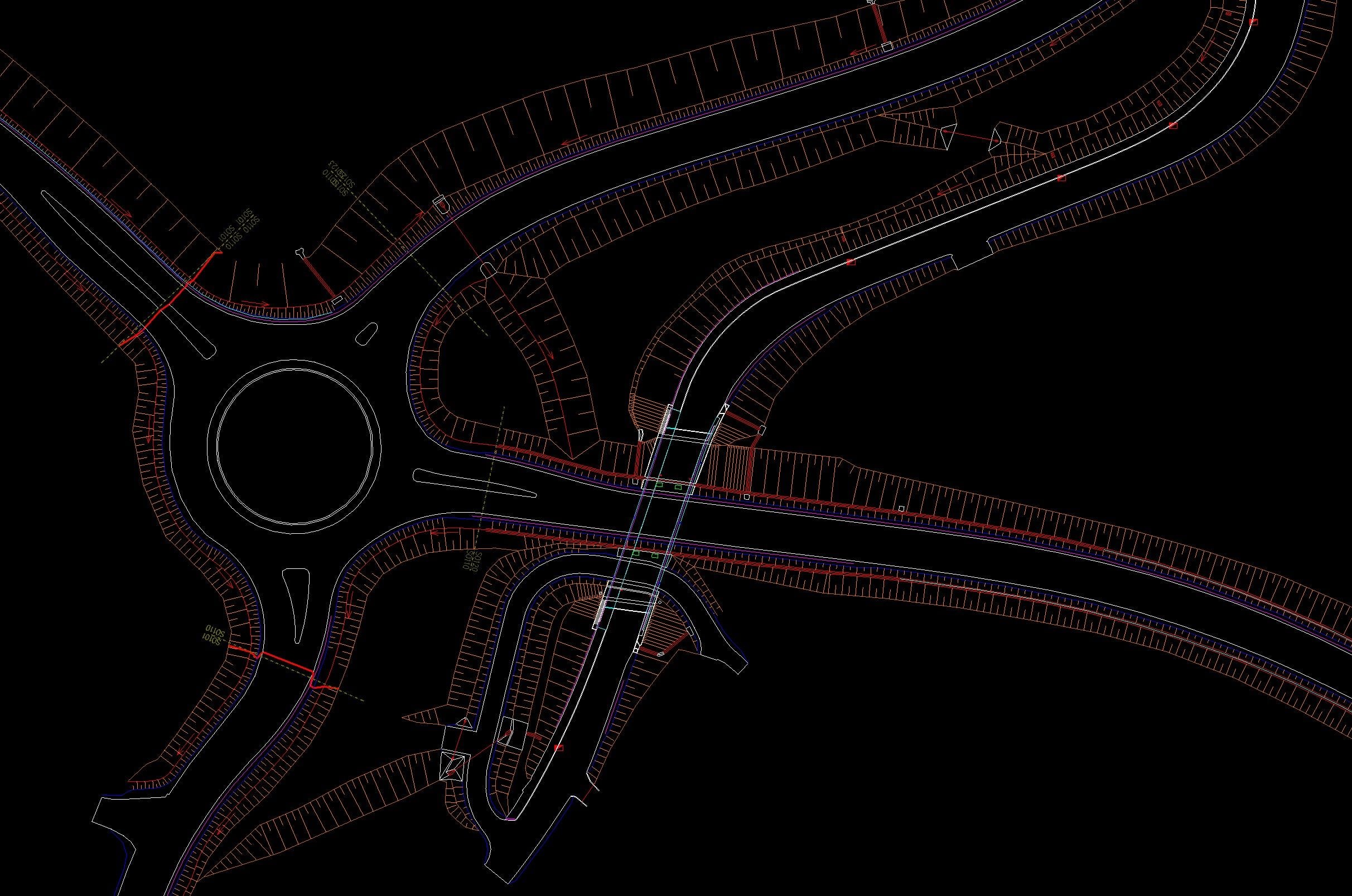
We carry out the as-built survey continuously as construction proceeds – the key step is surveying underground lines before backfilling, when the network is visible for the last time. The result is the surveying part of the documentation: a site plan, longitudinal profiles and a list of coordinates in the level of detail required by the building authority, the client or the network operator.

Every utility network operator has its own data specification; our outputs comply with them, so the handover goes through without the documentation being returned. We also prepare the data on transport and technical infrastructure in the structure used for the Digital Technical Maps of the regions, to which changes have had to be submitted since July 2024.

The survey is followed by a cadastral survey plan (geometrický plán) recording the completed structure or easements in the Cadastre of Real Estate – we handle it all in a single package, certified by an authorised surveying engineer.
Proof of what was actually built

What it includes

Complete documentation of the finished structure

  • As-built survey of the structures

  • Survey of utility networks before backfilling

  • Surveying part of the documentation for final building approval

  • Outputs following the network operators' guidelines

  • Data for the Digital Technical Map of the Region

  • Cadastral survey plan for the completed structure and easements

Deliverables

Everything you receive

Surveying part of the documentation

An as-built site plan with a list of coordinates and heights.

DWG / DGN / PDF

Network documentation

Survey of the lines before backfilling, in the structure of the relevant operator.

per operator specification

Data for the regional DTM

Change data on transport and technical infrastructure in the JVF DTM format.

JVF DTM / XML

Cadastral survey plan

For entering the completed structure or an easement in the cadastre.

PDF + print

How it works

Alongside the construction, not after it

  1. 01

    Agreement at the start of construction

    We agree the survey stages – above all the dates when the networks will be backfilled.

  2. 02

    Surveys as the work proceeds

    We survey the structures and the lines as the work progresses.

  3. 03

    Preparation of the documentation

    We compile the documentation and the outputs for the operators and the regional DTM.

  4. 04

    Handover and entries

    We hand over the documentation for final building approval; a cadastral survey plan follows.

Common questions

What you ask us most.

Once the trench is filled in, the position and depth of a line can no longer be verified without excavation. Surveying the exposed line is therefore a standard requirement of the network operators – and the only route to accurate documentation. We coordinate the backfilling dates with the contractor.

The unified exchange format of the Digital Technical Map – the data standard in which information on transport and technical infrastructure has been submitted to the Digital Technical Maps of the regions since July 2024. Our outputs comply with it.

The surveying part is one component of the as-built documentation; the full scope is set by the building authority. Entering the structure in the cadastre also requires a cadastral survey plan – we prepare it at the same time.

Have a project where this fits?

Contact an expert

Ing. René Duras

Ing. René Duras

Team leader

Engineering surveying
As-built survey of a completed structure | GEOREAL