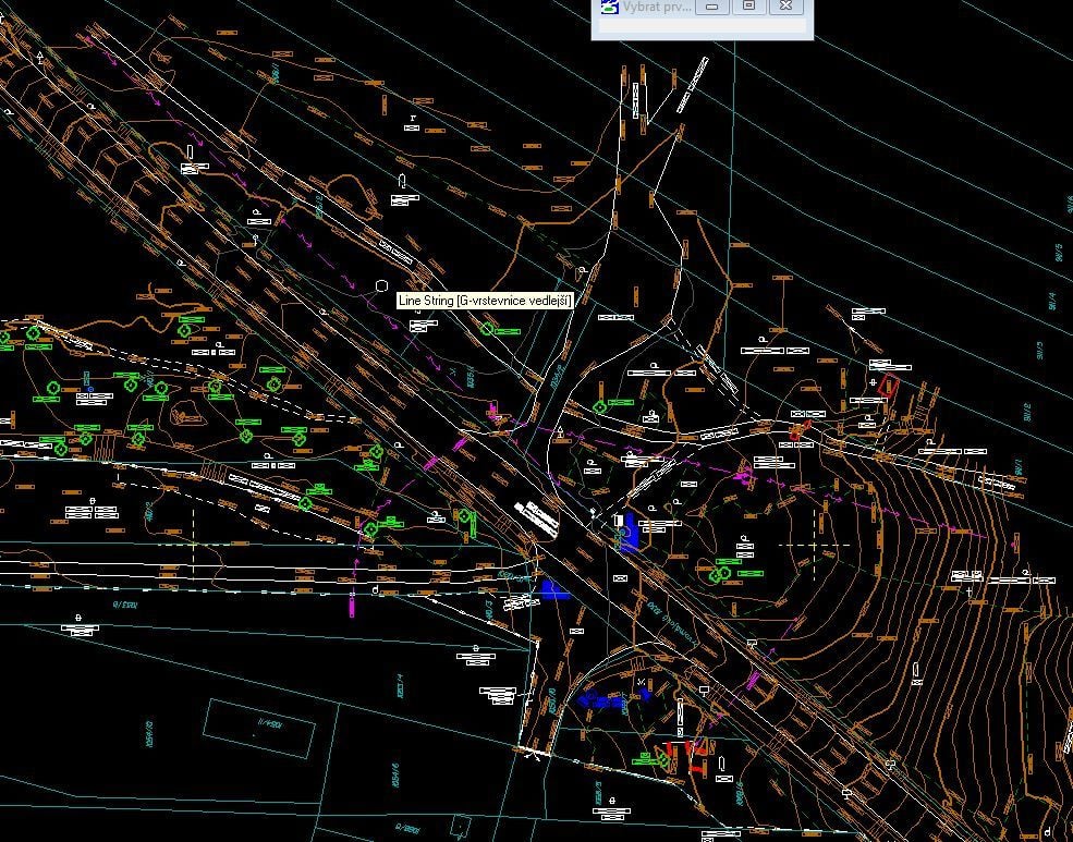
We survey the area of interest to the extent and level of detail the design requires: terrain, structures, surfaces, trees and shrubs, fences, gullies and the visible markers of utility networks. Underground lines we trace and supplement from the statements of the network operators, so that the designer works with a complete picture of the site.
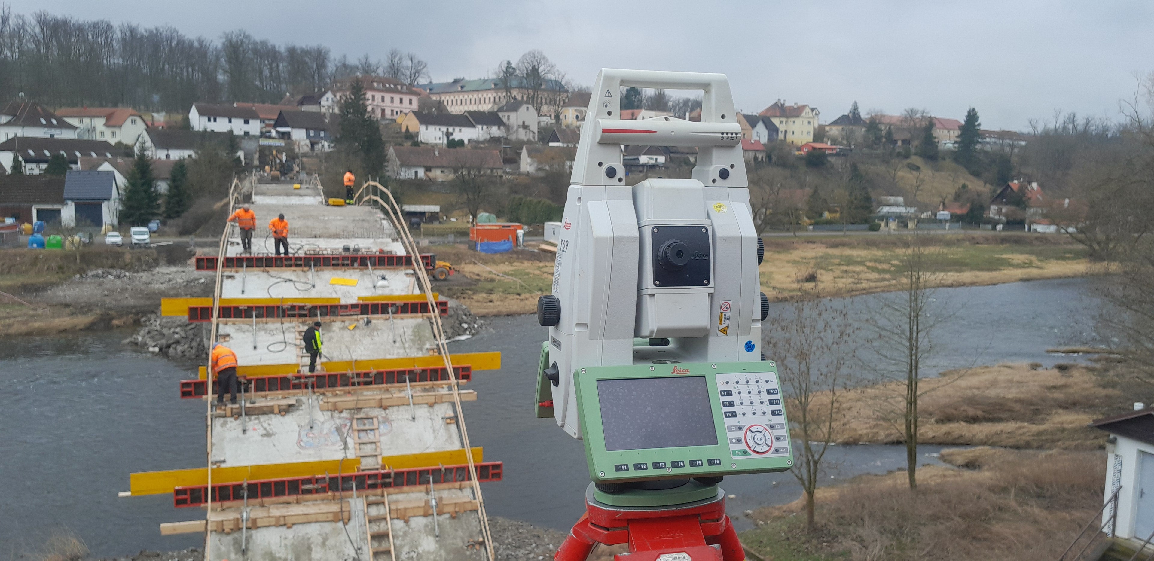
We choose the method according to the site – tachymetry with a total station, GNSS equipment, or laser scanning and photogrammetry where the terrain is broken or area-wide data are required. The output is handed over as a special-purpose map in 2D or 3D, in the S-JTSK coordinate system (national grid) and the Bpv height system (Baltic after adjustment).
The service also includes documentation of the condition of the surroundings of the future structure – a condition survey (pasportizace) of the buildings before the works start, which protects the client in any later dispute over damage.