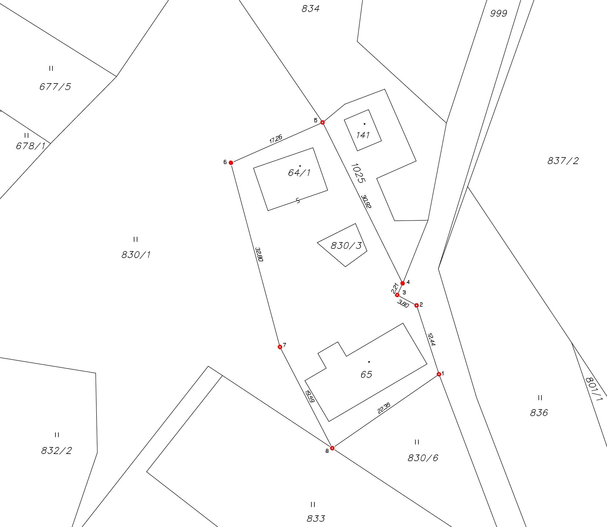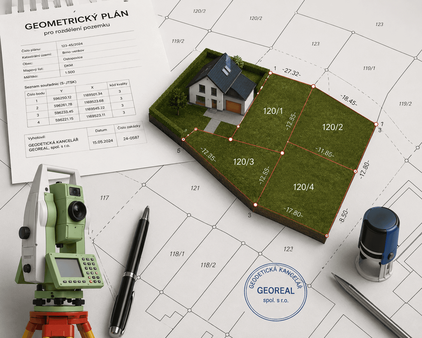
A cadastral survey plan shows the state of the land parcels before and after the change and is always based on a field survey. We prepare it in line with the current cadastral records: we request the source data and a reservation of new parcel numbers from the local cadastral office, survey the change, compile the record of detailed survey of changes and have the finished plan confirmed by the Cadastral Office.
Every cadastral survey plan is verified by our authorised surveying engineer (AZI), who is responsible for its correctness and completeness. We hand it over in electronic form for the entry and in the required number of printed copies – and we are glad to advise which further documents (a contract, the building authority consent to the division of the land) you will need for the entry.
We prepare cadastral survey plans for small landowners, designers and developers, and for linear projects with dozens of affected land parcels.