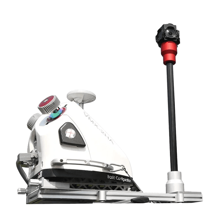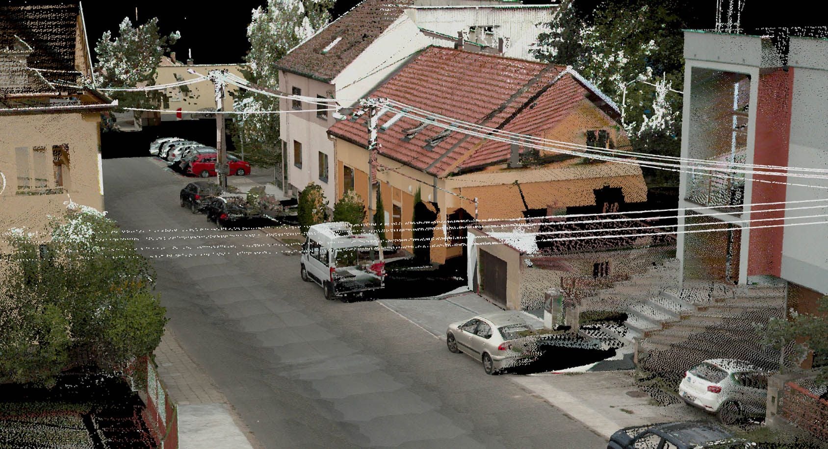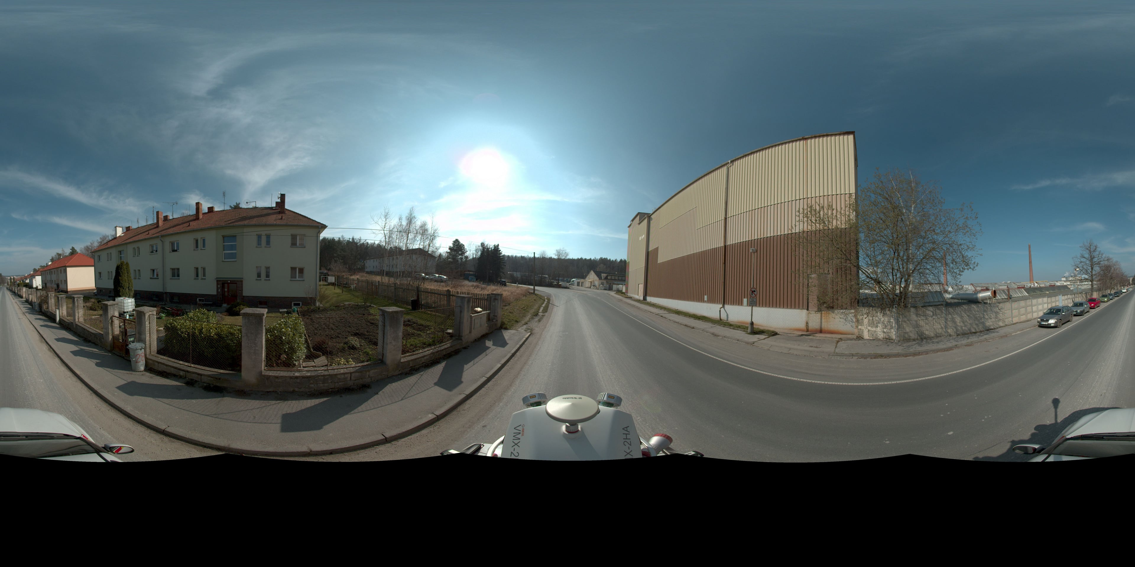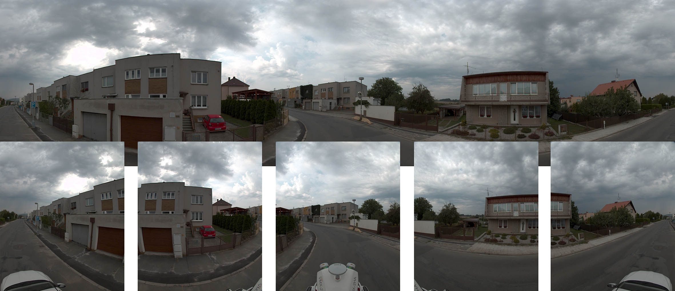
The RIEGL VMX-2HA is one of the most advanced mobile mapping systems available. While driving normally it captures a dense point cloud and, at the same time, spherical photographs which the accurate point cloud georeferences – so objects can be measured and identified in them and asset registers updated from them.
The data serves surveys of the planimetry and altimetry of linear structures, pavement surface condition assessment, volume calculations along roads or a baseline for reconstruction design. A single drive serves many purposes – from traffic signage to the condition of the greenery along the road.
Compared with conventional surveying, closures and work in live traffic are no longer needed: we survey at the speed of the traffic flow, safely and with minimal coordination costs.