

Who we work for
Oursolutions
An industry-led view of what we can do together. One package, one contact, one responsibility – we combine surveying, GIS, aerial photography and design to fit your agenda.
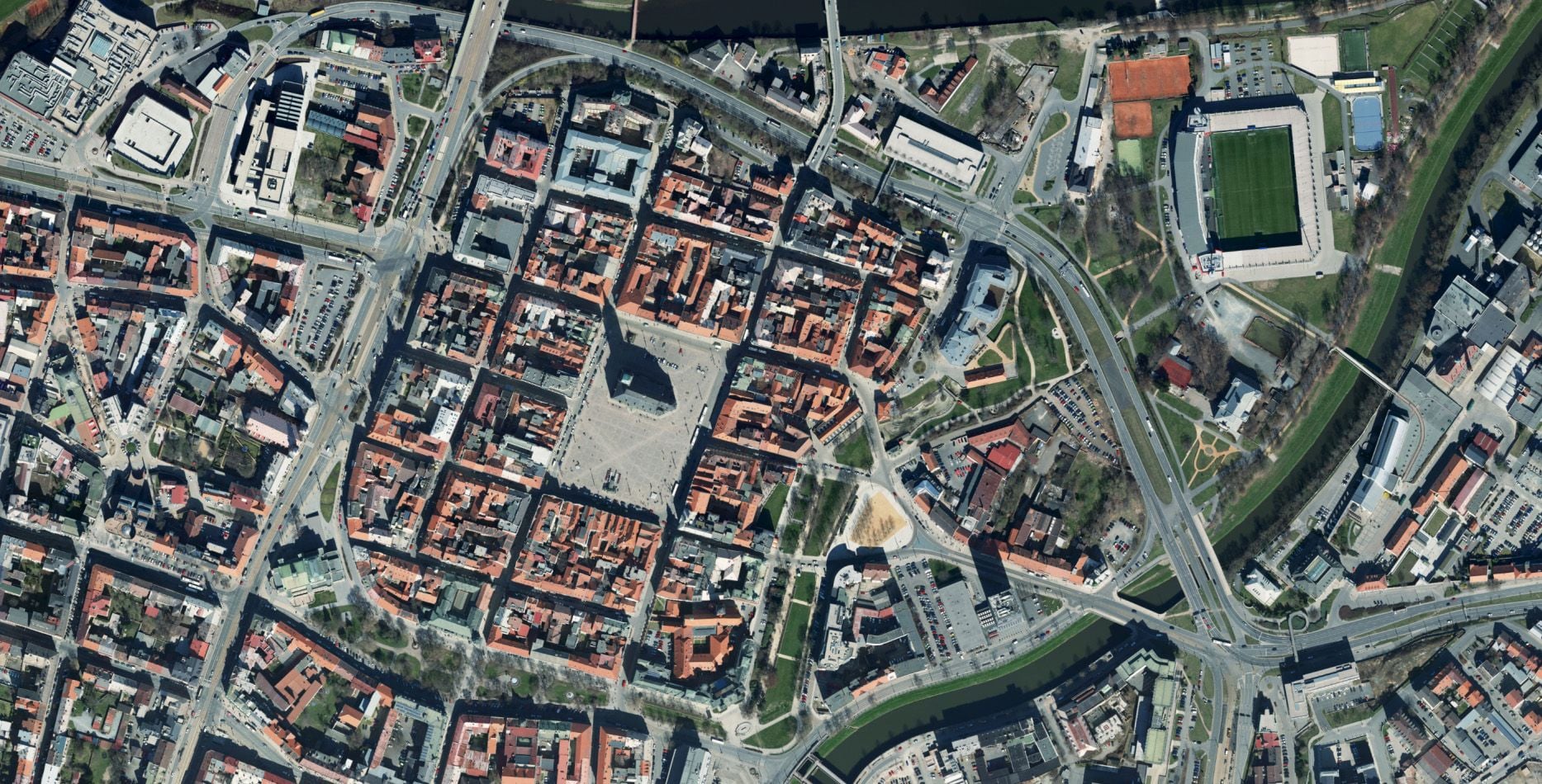
Cities and municipalities
Fragmented data, asset records kept in spreadsheets, no overview of the utility networks? We will bring your municipality’s geospatial data together in one place and give you the tools to work with it.
ViewRegions and state administration
Data from many different sources, complicated project coordination, a large territory that is demanding to manage. Rely on accurate geospatial data and surveying services for planning, administration and decision-making – Digital Technical Maps (DTM), aerial photography, spatial analytical materials (ÚAP) and geoportals from a single supplier.
ViewUtility network operators
Out-of-date documentation, inaccurate asset records, no consistent way of recording utility networks. Utility locating and surveying, asset management, data for the regional Digital Technical Maps (DTM), 3D scanning and mobile mapping – a complete solution for utility networks from a single supplier.
ViewFor citizens
Building a house? Dividing a land parcel? Do you need boundaries or a building set out? Cadastral survey plans, setting out, as-built surveys of buildings and easements – from the first measurement to the finished documentation.
View