

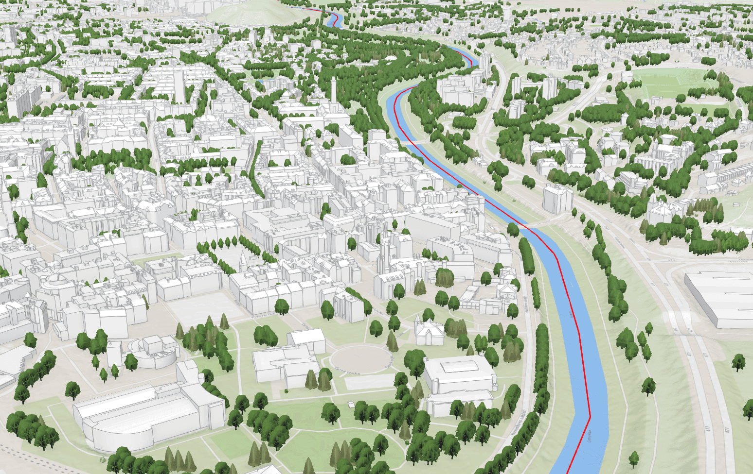
A photogrammetric 3D model of the city of Ostrava created from aerial imagery – a basis for planning, analyses and presentation of the city.
For Ostrava we created a photogrammetric 3D city model from aerial imagery captured with our own airborne equipment.
Such a model serves as a basis for spatial planning and the assessment of new development, for visibility and shading analyses and for presenting the city to professionals and the general public.
Outcome
A 3D model of the entire city, ready for deployment in GIS and visualisation tools.
Interested in this solution?
Your contact

Ing. Luboš Hübsch
CCTO
Aerial imagery and scanning