Spirit KN
A desktop application for working with data from the Cadastre of Real Estate that combines a clear display, easy administration and quick data analysis in one intuitive environment. It makes cadastral information easier to navigate and everyday work more efficient for its users.
VFK importCadastre of Real EstateGeodatabaseMap viewLand parcel identification
What it is for
Comprehensive work with cadastral data
Together, the Spirit VFK Light and Spirit KN applications give you an efficient solution for everyday work with data from the Cadastre of Real Estate – from data import through to a clear display, evaluation and printing of reports.
Key aspects
Pillars of Spirit KN

Centralisation
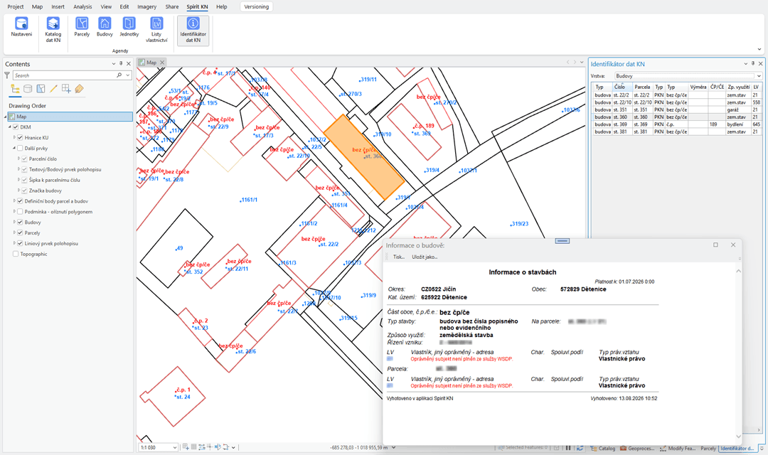
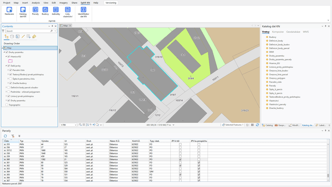
The application brings land parcels, buildings, title deeds (list vlastnictví), units and owners together in one clearly arranged system. The map and the tables are linked to each other, which allows you to get your bearings quickly in ownership relationships and their context.

Precise search
Search, filter and export cadastral data as your current needs require. Because map layers and register records are linked, you have all the important information in one place.

Efficiency
For every record you can immediately display detailed information, including ownership relations and related land parcels, buildings or title deeds. All clearly arranged and without lengthy searching.
Want to find out more?
Contact an expert