GEOREAL spol. s r.o.

DTM Information System

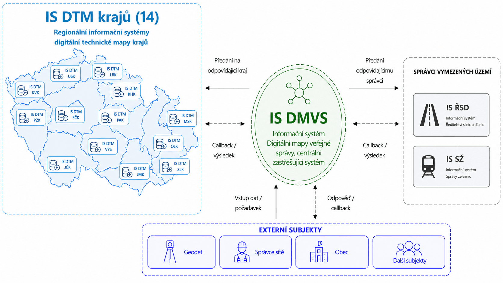
The regional Digital Technical Map Information System (IS DTM) is a key platform for the management and sharing of accurate spatial data across the Czech Republic. It allows regions, municipalities and utility network operators to work with a single, up-to-date and verified Digital Technical Map (DTM), which speeds up decision-making and improves the quality of planning.

DTMZPSTIDI
DTM Information System

What the DTM is

Digital Technical Map

A modern information system for the management and recording of Digital Technical Map (DTM) data. It supports clear work with spatial and descriptive data, the management of technical infrastructure and efficient sharing of information between network operators, municipalities and designers.

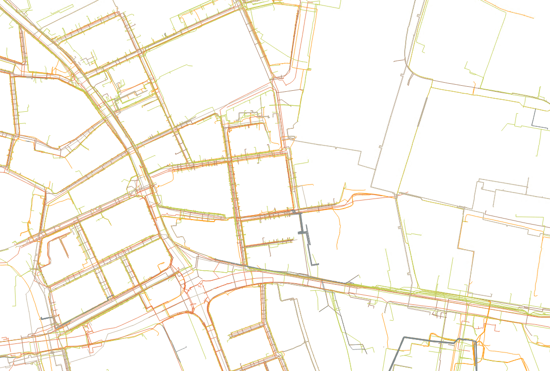
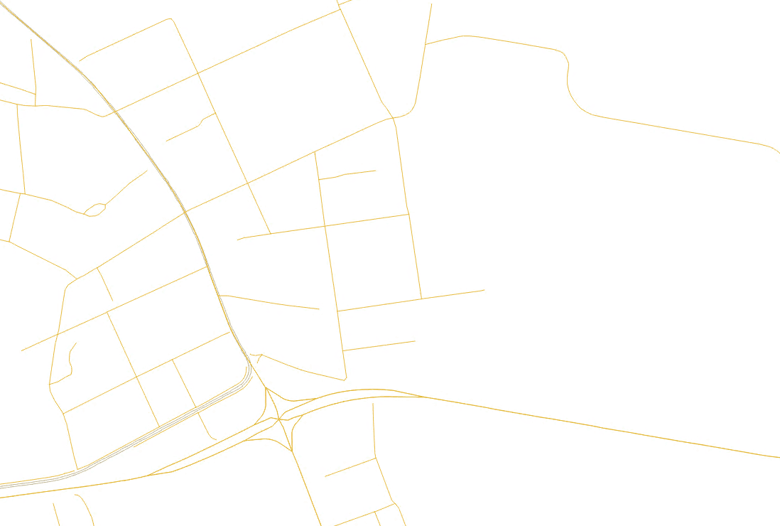
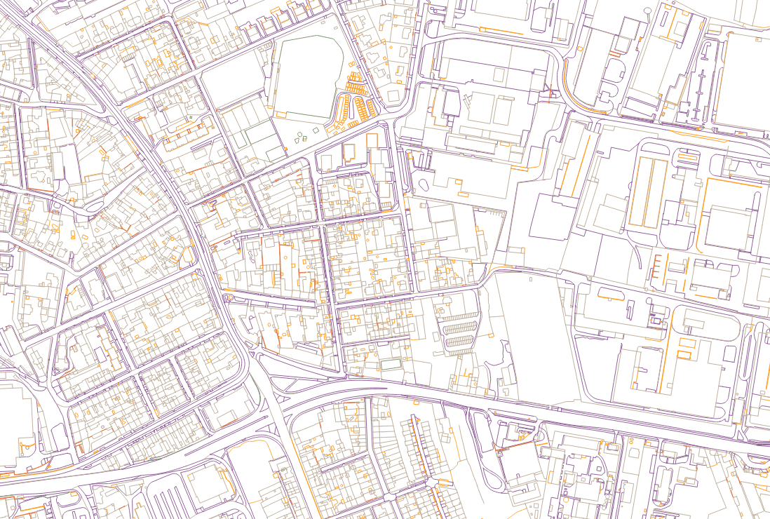
The Digital Technical Map (DTM) is an unprecedented nationwide project that unifies spatial data across the whole of the Czech Republic. It brings accuracy, transparency and a modern way of working with information about the territory. The DTM creates a single, verified and continuously updated data source that makes it possible to plan, coordinate and manage the development of the territory efficiently. Thanks to the linking of many data sources and to advanced validation mechanisms, the DTM is one of the most significant steps in the digitisation of public administration.

The DTM is used by regions, municipalities, operators of technical infrastructure, designers and other specialist bodies. It serves as a reliable basis for the preparation of construction projects, the coordination of works, asset management and decision-making about the territory. It allows everyone to work with uniform, up-to-date data, which simplifies communication, reduces errors and speeds up the whole process of planning and delivering projects.
Digital Technical Map

What the DTM contains

Made up of 3 parts

Basic spatial situation (ZPS)

Contains the features that form the basic map base of the territory (buildings, land parcel boundaries, roads, watercourses, terrain features).

Basic spatial situation (ZPS)

Technical infrastructure (TI)

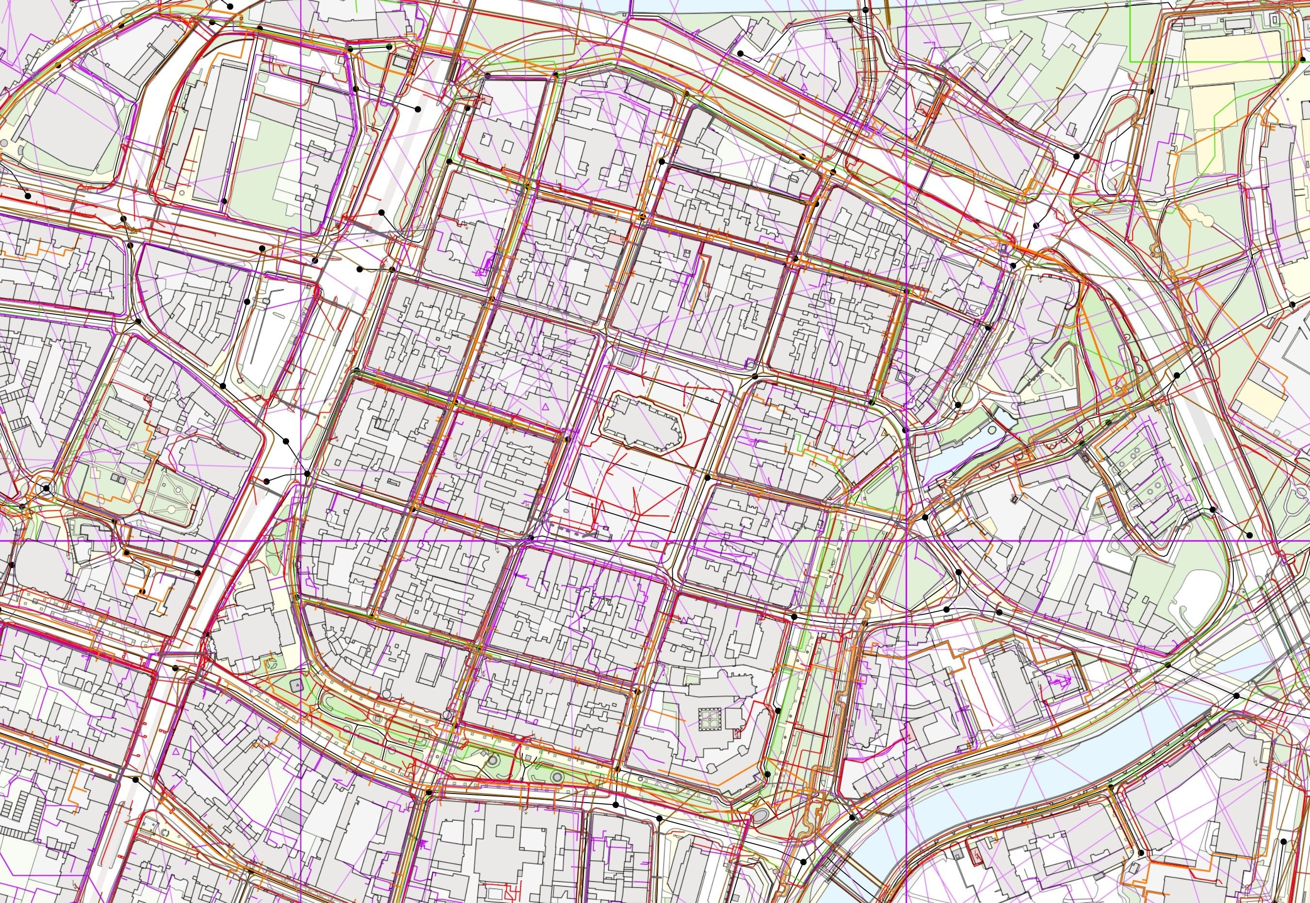
Covers the lines and equipment of utility networks (electricity, gas, water, sewerage, heating, telecommunications).

Technical infrastructure (TI)

Transport infrastructure (DI)

Covers transport structures and features (roads, bridges, tunnels, railways, traffic signs).

Transport infrastructure (DI)

Our role

The Digital Technical Map and us

As one of the suppliers of the Digital Technical Map information system (IS DTM), we set up, operate and develop the individual regional Digital Technical Maps. We operate the information systems of 12 regions, a group of regions referred to as K12. It covers all the regions except the Central Bohemian Region and the City of Prague.

At the same time we focus on the management and maintenance of regional data - the whole process of loading data, from imports through topological checks to the final incorporation of the data into the corresponding data warehouses. Alongside this we provide technical support for the individual regions.

We carried out the survey and processing of the primary base data for 3 regions.

Based on our knowledge of the development and delivery of the DTM system solution, we know how the whole system works and we are able to provide a solution for every requirement concerning the loading of data into the DTM and its maintenance.

The Digital Technical Map and us

What we provide

Expert knowledge

Our long experience with DTM data models, regional processes and legislative requirements allows us to provide expert support and reliable solutions. We understand how the DTM should work in practice - from the methodology to the technical detail.

Topological checks

We implement and operate advanced topological validations that ensure the accuracy, consistency and technical correctness of the data. They give the regions the certainty that their Digital Technical Map stands on solid foundations.

Data management

We provide complete data management in the regions - from imports and the resolution of errors to the incorporation of the data. We make sure the data is always of good quality and ready for further use.

Numbers that speak

12 regions

Delivery and operation of 12 regional Digital Technical Map information systems

2+

Years of the DTM in live operation

15 +

Years of DTM experience from previous and current projects

330 million +

Objects uploaded to the DTM