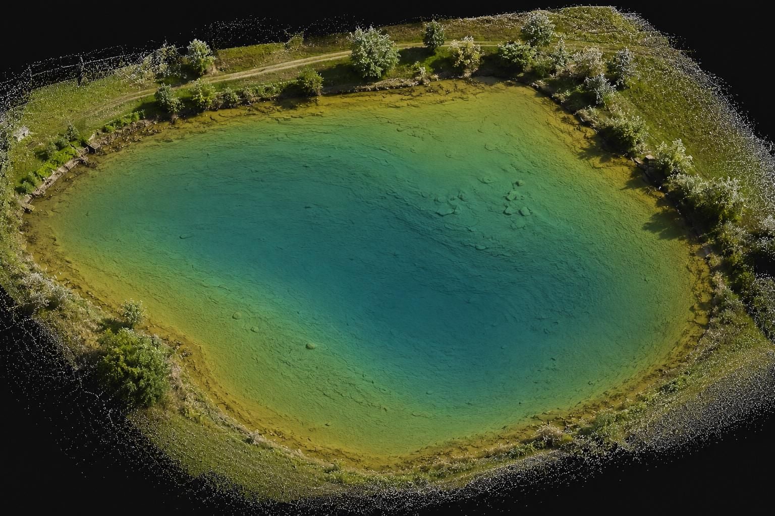
We survey bed depths with sonar from a vessel and process the measured data into a digital 3D model of the bed surface. The model ties in with the survey of the banks and the surroundings, so a complete picture of the reservoir emerges – from the water surface across the bank edges down to the deepest point.
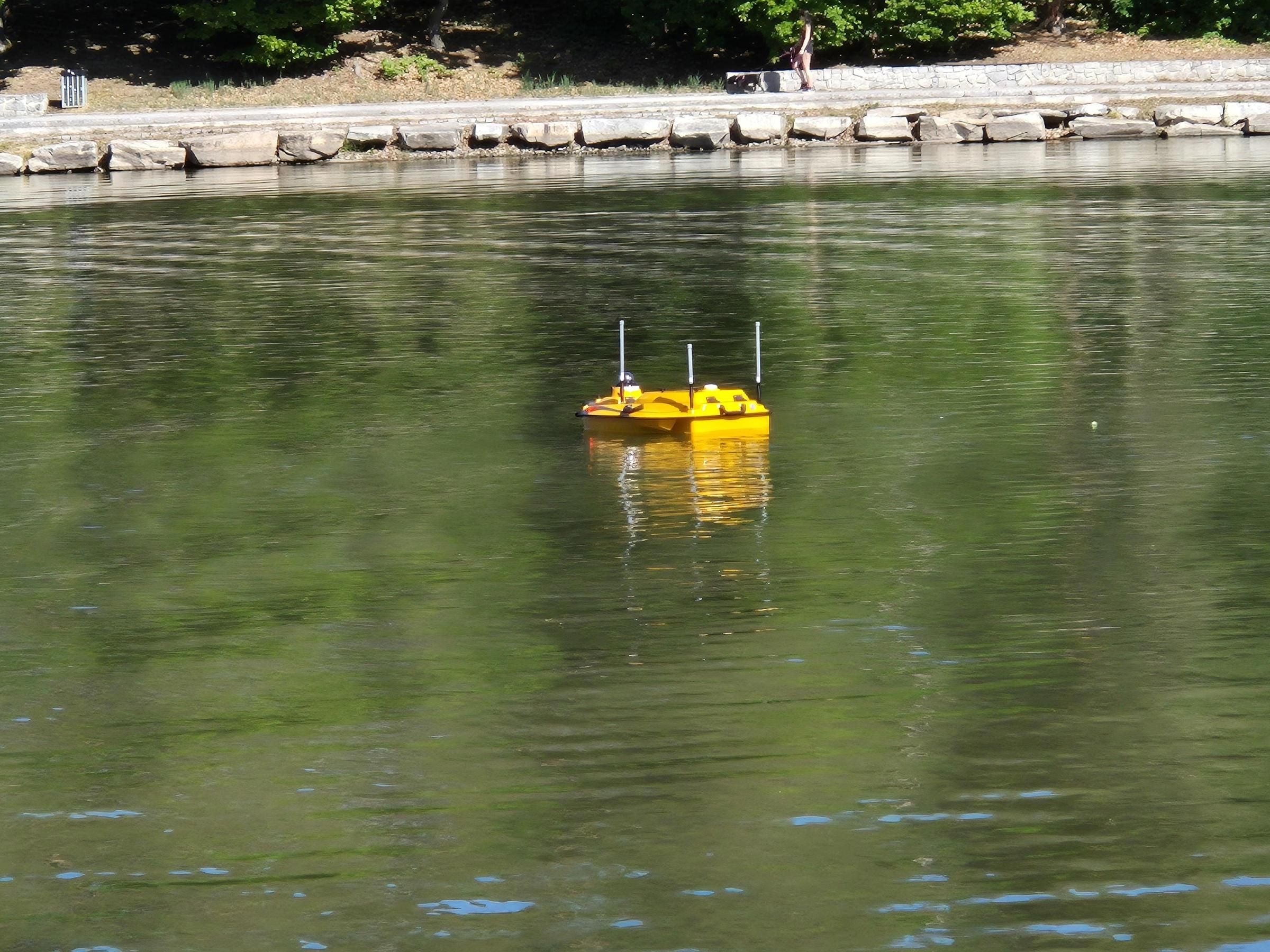
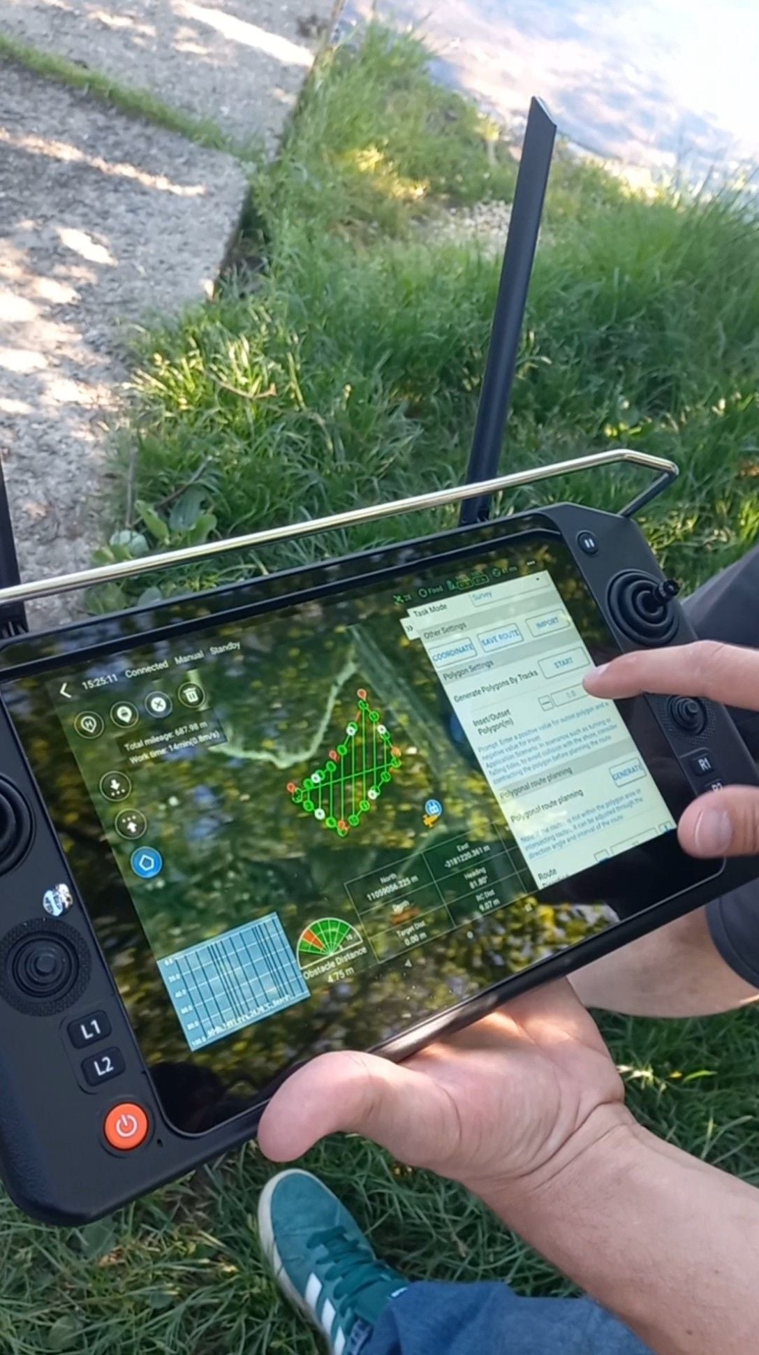
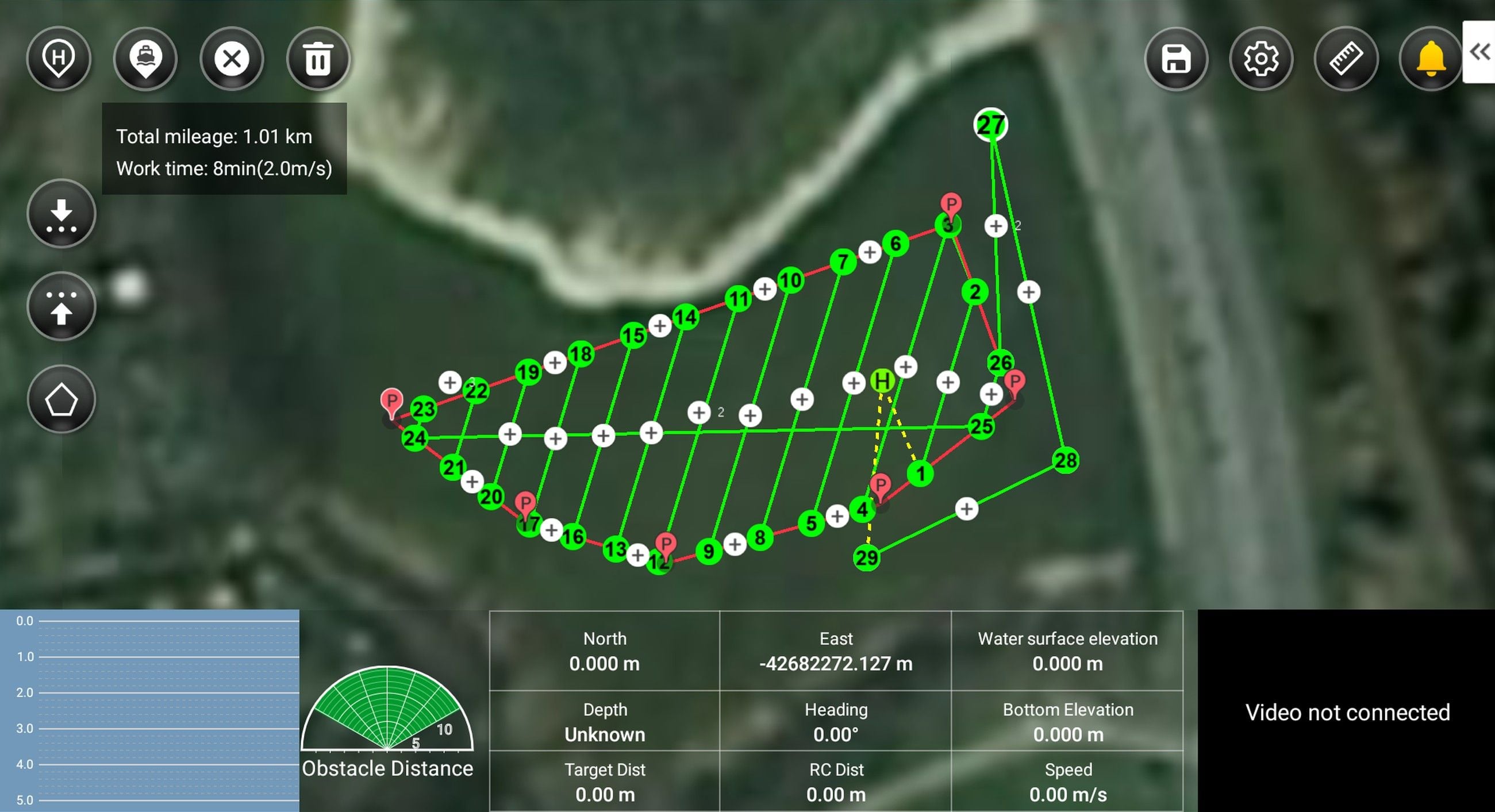
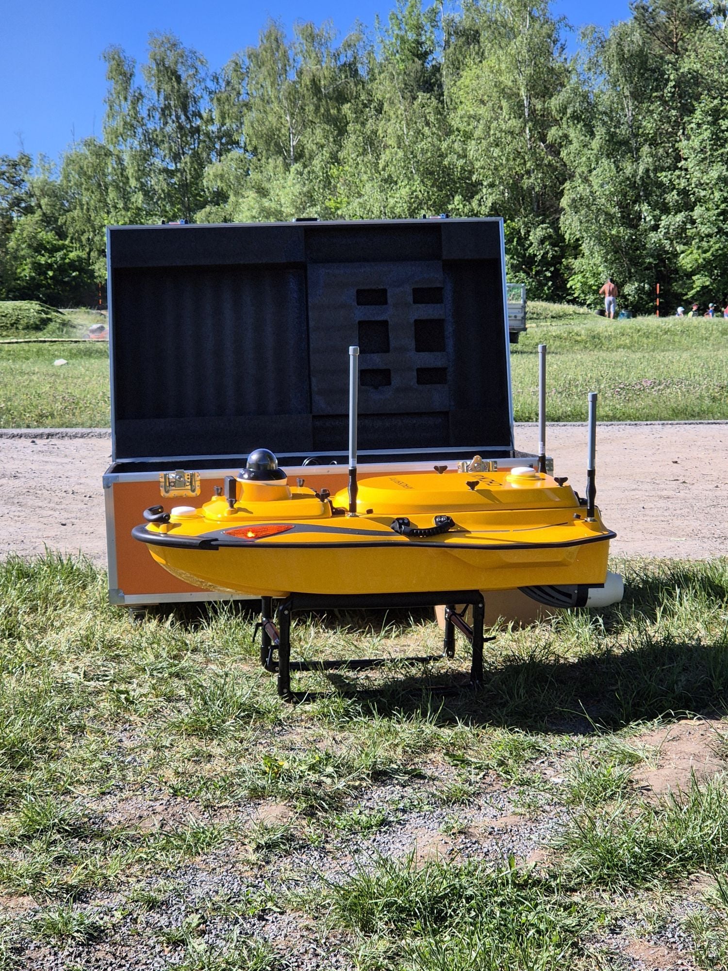
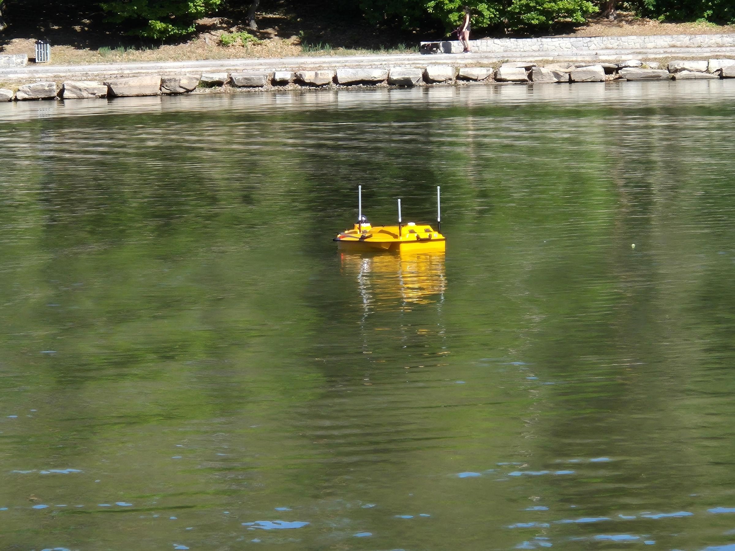
The CHCNAV Apache 4 Pro autonomous survey vessel makes bathymetric surveying more efficient. The unmanned boat runs along pre-planned profiles, so it maps the bed of dam reservoirs, ponds and watercourses quickly, systematically and with a repeatability that manual navigation cannot offer – while the crew stays safely on the bank. With it we build on many years of experience in surveying below the water surface.
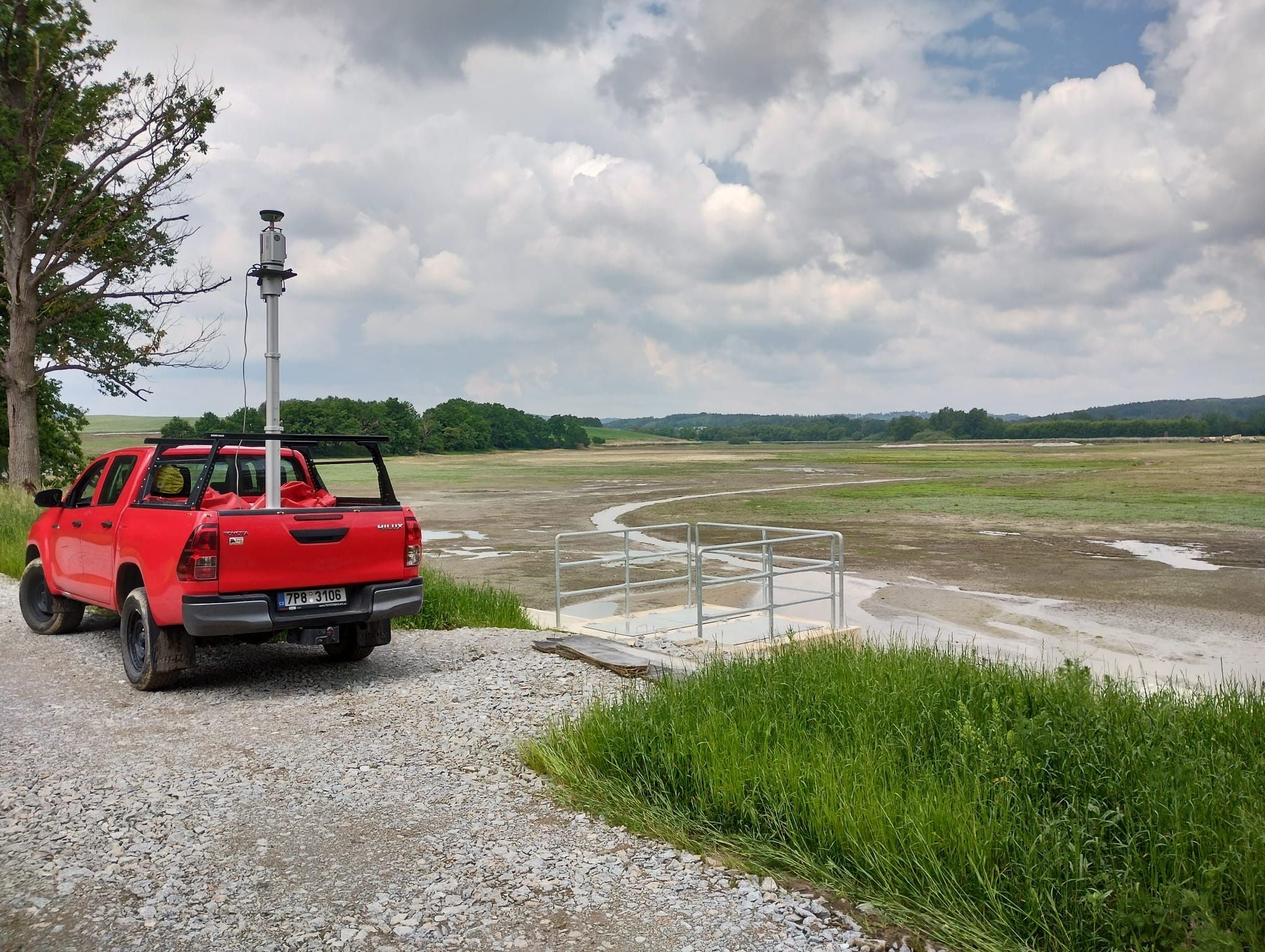
By combining sonar, specialised surveying (including terrestrial laser scanning) and photogrammetric methods we determine sediment thicknesses. It was for this task that we co-developed a measuring apparatus protected by a utility model, under research project TH02030399 of the Technology Agency of the Czech Republic (TAČR).
The outputs serve for planning restoration and de-silting works, hydraulic calculations, estimates of sediment volume and assessment of the capacity of water bodies and hydraulic structures. We collect spatial data from the air, from the ground and below the water surface – and combine them into coherent outputs according to the needs of each project.