GEOREAL spol. s r.o.

3D laser scanning of structures (TLS)

Static laser scanning captures buildings, plant and whole sites in maximum detail and accuracy. The non-contact method copes with interiors, exteriors and places that are hard to reach – and the dense point cloud yields documentation, 2D drawings and base data for BIM.

Maximum detailNon-contact measurementInteriors and exteriors
3D laser scanning of structures (TLS)

What it is for

The as-built condition of a structure in millions of points

To capture a site and its structures in the greatest possible detail, accuracy and speed we use static laser scanning, complemented by high-resolution photographs.

In a few minutes a static scanner surveys millions of points from a single position; joining the scans from several positions produces a complete and consistent model of the structure. The non-contact principle allows measurement over long distances and in places conventional surveying cannot reach – tall structures, plant assemblies, hazardous operations.

From the point cloud we produce exactly what you need: 2D floor plans, sections and elevations, 3D models, deformation analyses or a comparison of the as-built condition with the design. The data serves for building documentation, the preparation of refurbishments, asset management and the monitoring of changes over time.

We combine scanning with conventional surveying – the results are georeferenced in S-JTSK (national grid) and tie in with the other base data of the project.
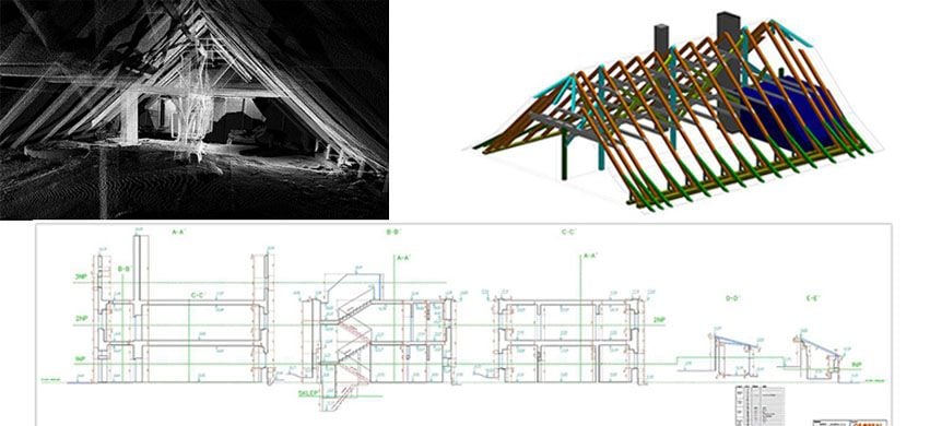
The as-built condition of a structure in millions of points

The scanner in the field

Three environments, one scanner

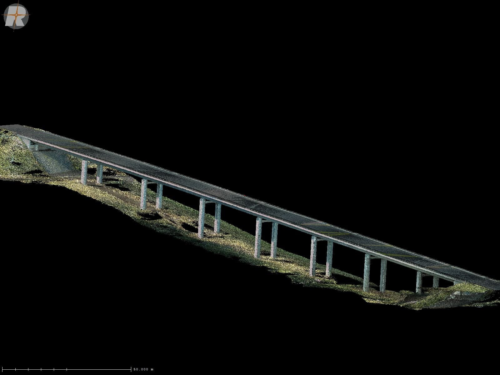
We deploy static scanning under bridges, in industrial plants and on the edges of quarries.

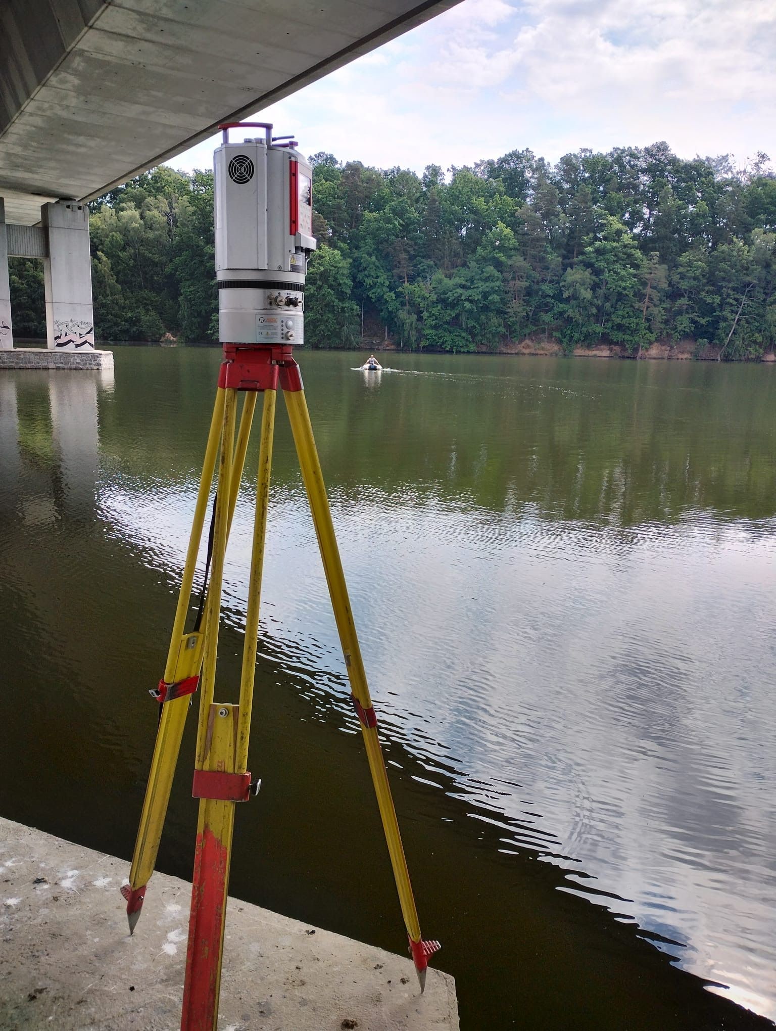
Bridge structures

Bridge structures

Documentation of bridges and structures from a safe distance.

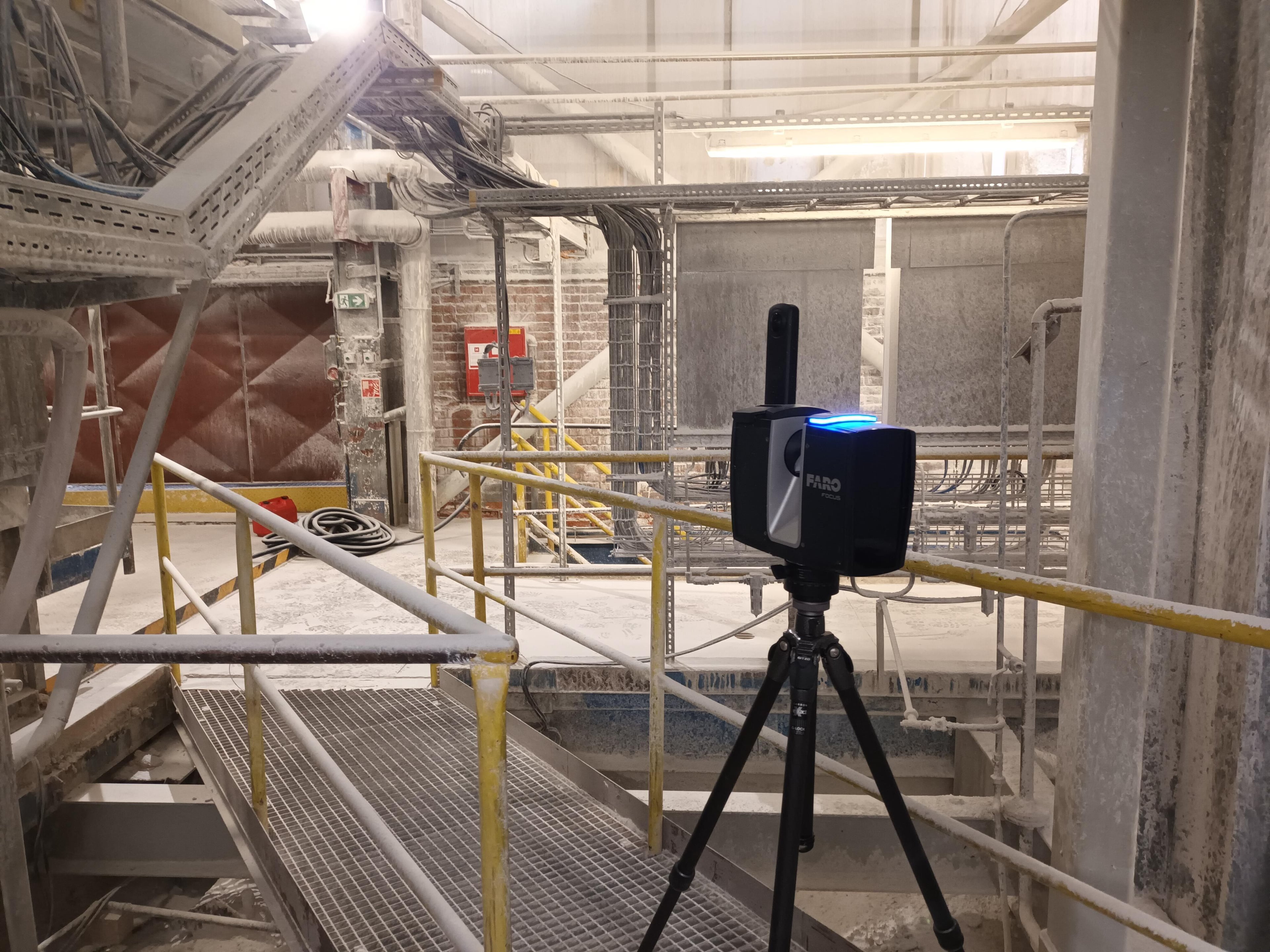
Industrial plant

Industrial plant

Surveying equipment in a running plant – non-contact and fast.

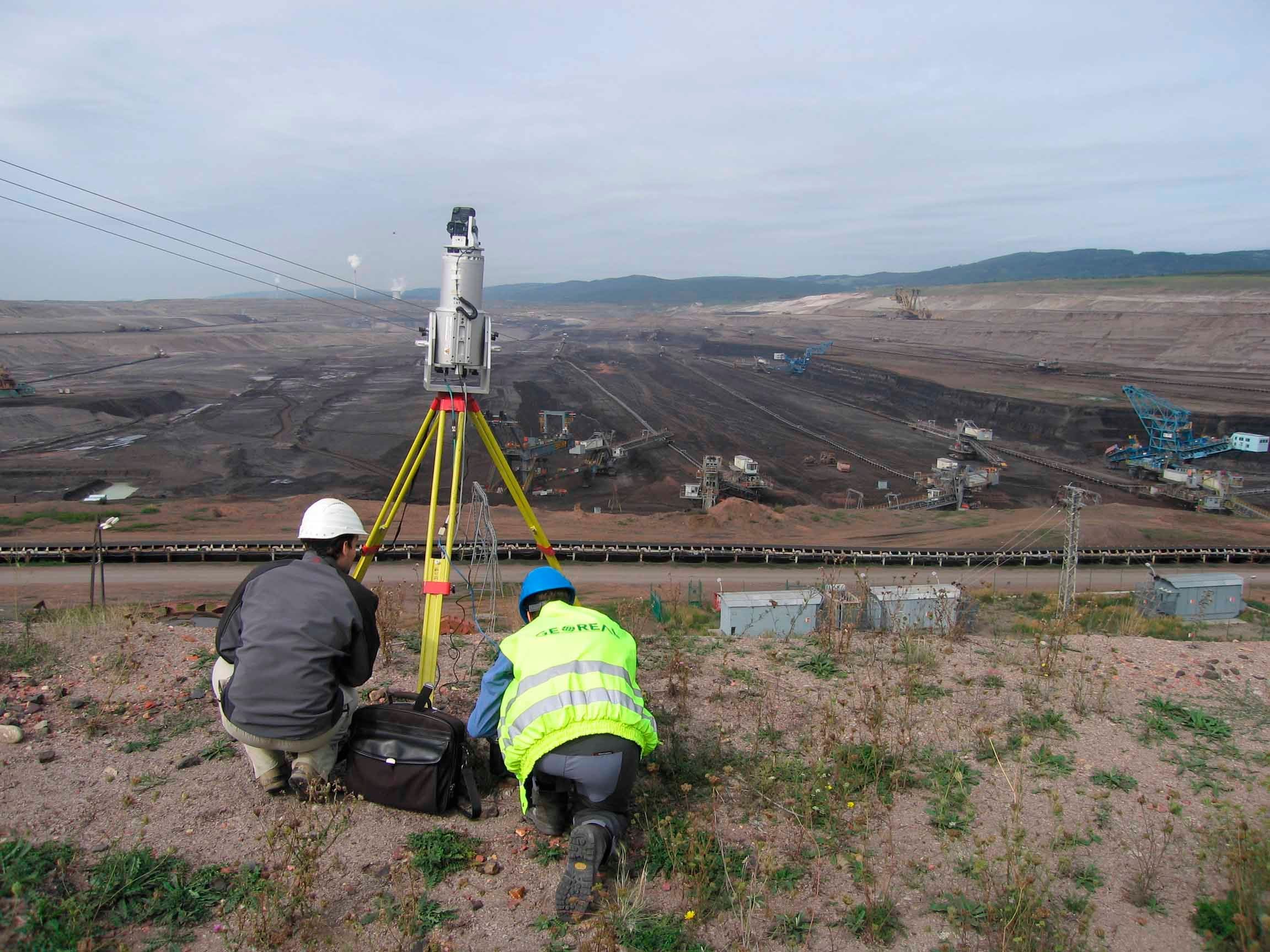
Open-pit quarry

Open-pit quarry

Extensive sites and quarries for volume calculations and mine surveying documentation.

Typical tasks

Where static scanning excels

  • Survey of planimetry and altimetry

  • Documentation of buildings – interiors and exteriors

  • Base data for refurbishments and design

  • Survey of plant assemblies and operations

  • Monitoring of changes and deformation analyses

  • Volume calculations from dense point clouds

Deliverables

What you can receive

Point cloud

A registered and georeferenced point cloud with photographic texture.

LAS / LAZ / E57

2D documentation

Floor plans, sections and elevations evaluated from the point cloud.

DWG / DGN / PDF

3D model

A model of the structure for design, visualisation or BIM.

IFC / RVT / OBJ

Deformation analysis

A comparison of the as-built condition with the design or with a previous epoch.

PDF / colour maps

How it works

From the site visit to the model

  1. 01

    Brief and site visit

    We define the scope, the level of detail and the outputs; we plan the scanner positions.

  2. 02

    Scanning

    We survey the structure from as many positions as needed, including photographs.

  3. 03

    Registration and georeferencing

    We join the scans and place them in the coordinate system.

  4. 04

    Evaluation and handover

    We produce the drawings, models or analyses and hand them over with the point cloud.

Common questions

What you ask us most.

Minimally. Scanning is fast and non-contact – ordinary interiors are surveyed within hours, with no interference with the structure. We adapt the schedule to your operations.

Yes, we hand over the point cloud as standard together with the evaluated outputs. We will also advise on the choice of software for viewing it and using it further.

Yes – from the point cloud we produce a model at the chosen level of detail as a basis for BIM (scan-to-BIM), typically in the IFC or RVT format.

Have a project where this fits?

Contact an expert

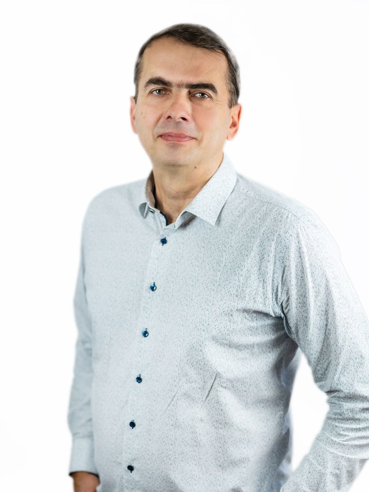
Ing. Tomáš Vybíral, Ph.D.

Ing. Tomáš Vybíral, Ph.D.

Team leader

3D scanning and mine surveying
3D laser scanning of structures (TLS) | GEOREAL