Our work
References.
Selected projects in surveying, GIS, aerial photography and design activities.
Featured
12deployments
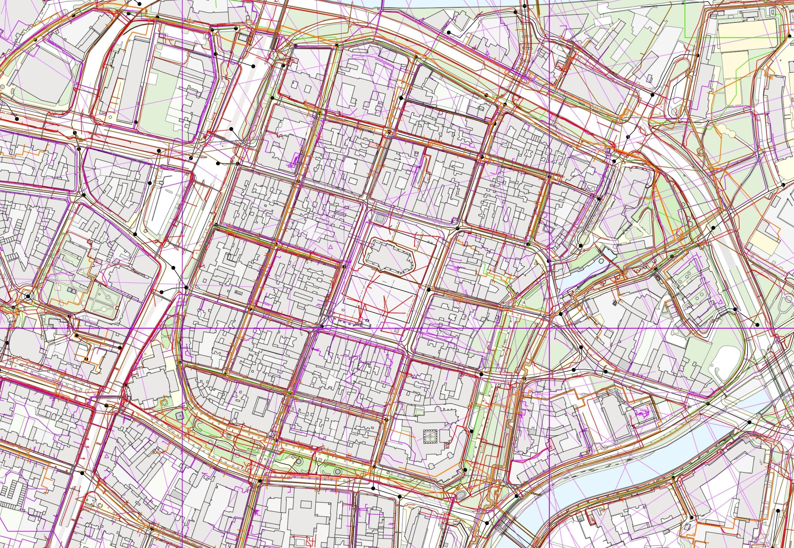
Digital Technical Map information systems of the regions
We have deployed the Digital Technical Map information system in twelve regions. The links in the overview lead straight to the live regional portals.

Geoportal of the city of Plzeň
město Plzeň
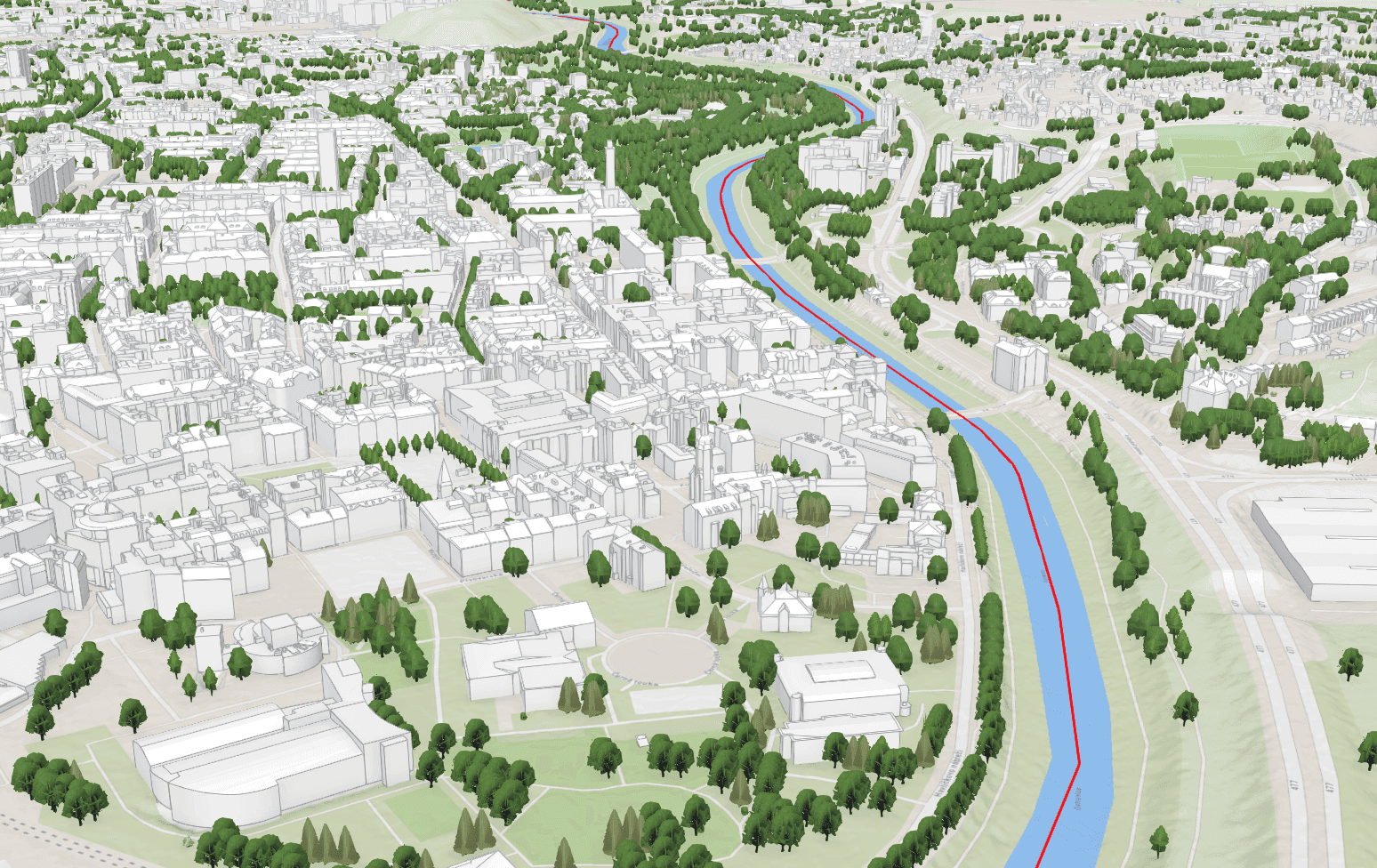
3D city model
Ostrava
A photogrammetric 3D model of the city of Ostrava created from aerial imagery – a basis for planning, analyses and presentation of the city.