GEOREAL spol. s r.o.

News

What is
happening right now.

Posts from LinkedIn, news from the hangar, projects in motion. The full content is below – to react and follow us, go to LinkedIn.

Follow on LinkedIn
GEOREAL24 July 2026
🔵 Esri UC 2026: AI has the power. GIS gives it context. 🌍🗺️
🔵 Esri UC 2026: AI has the power. GIS gives it context. 🌍🗺️ Last week we attended the Esri User Conference in San Diego for the second year in a row. This year under the motto "GIS – Creating a More Intelligent World" and with more than 17 000 attendees from 117 countries. Last year everyone was talking about "GeoAI". This year AI was no longer a separate novelty but a natural part of the whole platform – AI assistants and agents are appearing across everyday workflows. In the plenary session, Jack Dangermond recalled the essential point: AI supplies the power, but reliable results rest on quality spatial data, geographic context and expert review. And that this is not a distant future was clear at the Expo with more than 200 organisations – from AI assistants through robotic platforms to XR. User presentations then showed GIS and AI in action across sectors: city management, infrastructure planning, energy, transport, emergency management and nature conservation. The Czech Geological Survey (Česká geologická služba, ČGS) and the geology and geography sections of the Faculty of Science, Charles University received the Esri Special Achievement in GIS Award 2026 for the National Geological and Hydrogeological Map of Ethiopia. Congratulations! 🇨🇿 From the UC we bring back new contacts, inspiration and confirmation of the direction we have long been taking at GEOREAL: to acquire spatial data accurately, process it well and make it available in GIS to the people who use it for planning and decision-making. You will find a link to the awarded project in the comments. 👇 #Georeal #EsriUC2026 #GIS #GeoAI #WebGIS #ArcGIS
View on LinkedIn
GEOREAL26 June 2026
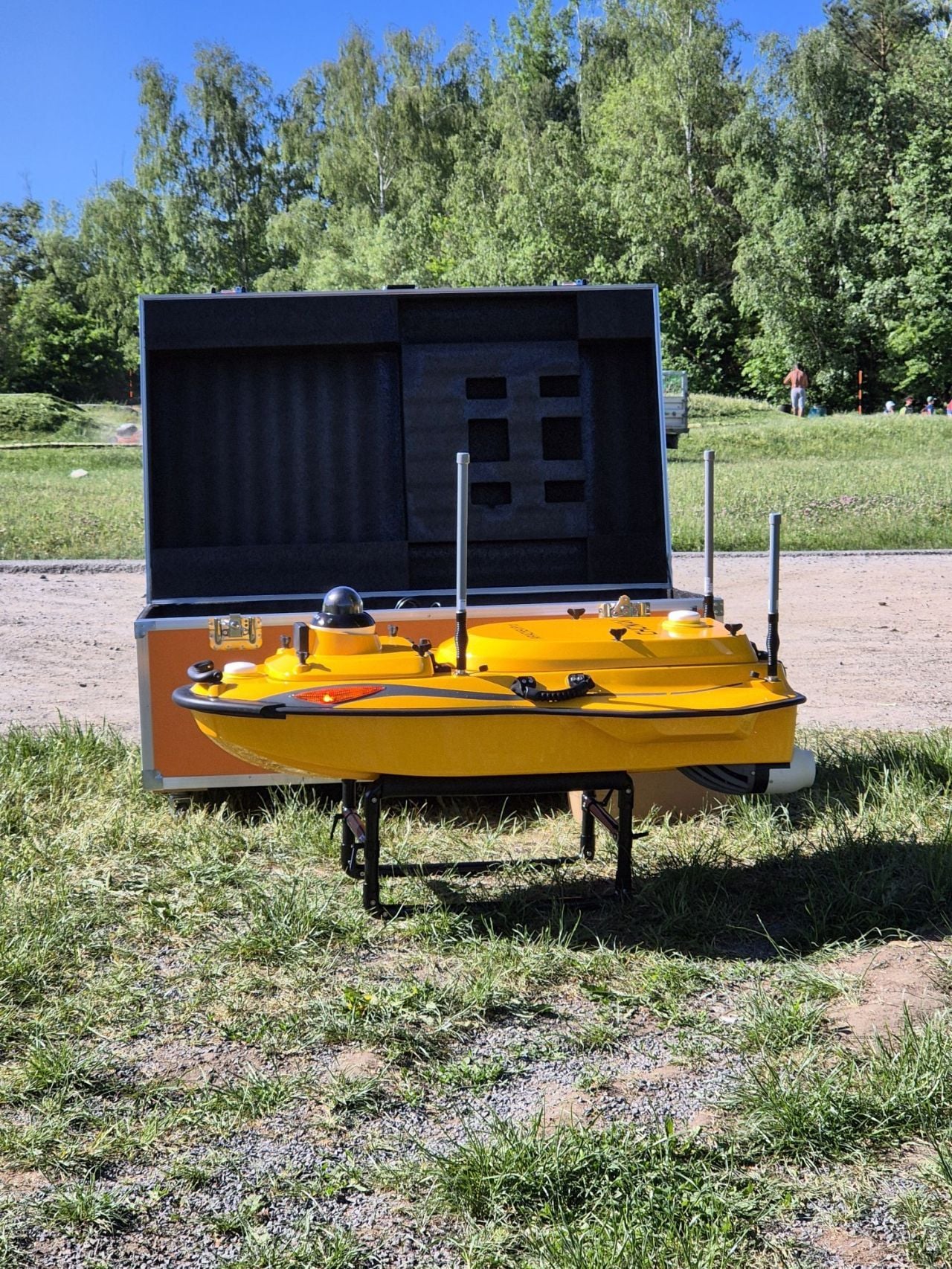
🔵 We are making bathymetric surveying of water bodies more efficient. 🛥️💧
🔵 We are making bathymetric surveying of water bodies more efficient. 🛥️💧 With water bodies, what cannot be seen from the shore is often what decides. The actual shape of the bottom, the volume of sediment and changes below the surface matter for management, design and the planning of interventions. We are therefore expanding our bathymetric surveying capabilities with the CHCNAV Apache 4 Pro autonomous survey vessel. It builds on our existing experience with surveying below the water surface and adds higher efficiency, safety and repeatability to data acquisition. The vessel allows fast and systematic mapping of the bottom of dam reservoirs, ponds and watercourses. The data can be used for revitalisation planning, hydraulic calculations, sediment volume estimates and assessment of the capacity of water bodies and hydraulic structures. We collect spatial data from the air, on the ground and below the water surface, and combine them into comprehensive outputs according to the needs of each project. Are you working on a project that needs accurate data from water bodies? We will be happy to discuss the survey options with you. #Georeal #Bathymetry #Hydrography #3DGeodata #GIS #CHCNAV #Surveying
View on LinkedIn
GEOREAL18 June 2026
🔵 Sharing know-how with the next generation of technical professionals. 🎓🗺️
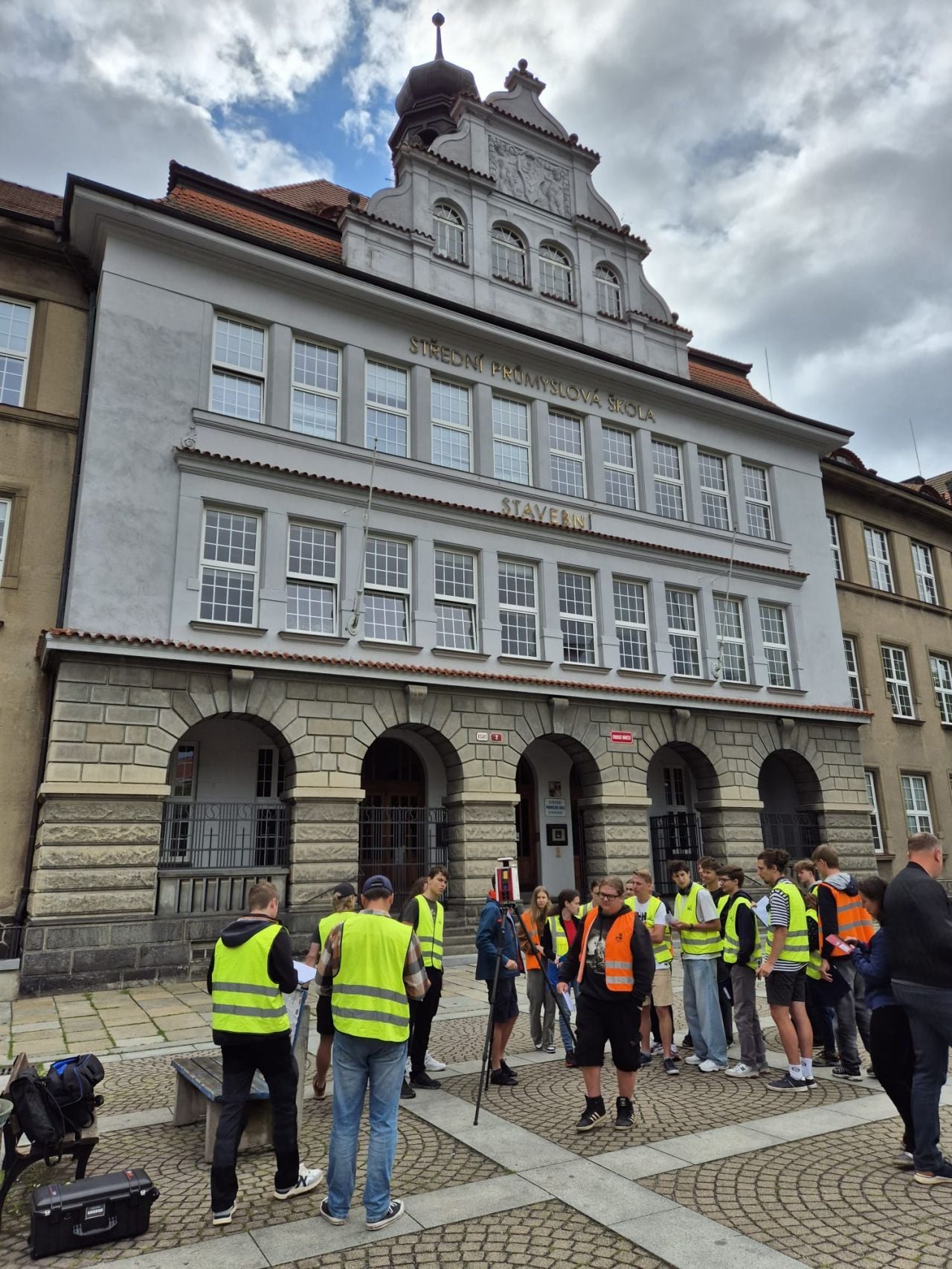
🔵 Sharing know-how with the next generation of technical professionals. 🎓🗺️ Working with students of technical schools has become a regular part of the year for GEOREAL. Traditionally in Plzeň, and this year newly also in Hradec Králové. We introduced students in their third and fourth years to the technologies that are shaping the field of 3D geodata, digital documentation and modern surveying. From RIEGL and FARO terrestrial laser scanners to Wingtra and DJI photogrammetric and LiDAR drones. We did not stop at theory. The programme included practical demonstrations of surveying the facade of the SPŠ school as well as professional field trips – to a motorway bypass construction site and to a working kaolin mine. Students could see the technologies deployed in real conditions. The interdisciplinary reach mattered too. Alongside future surveyors, students of construction and technical lyceums took part as well. Communication between technical disciplines is exactly what digital construction, BIM and efficient work with spatial data depend on today. Thank you to the schools, teachers and students for their active approach, excellent organisation and interest in modern technologies. #Georeal #Surveying #3DGeodata #LaserScanning #LiDAR #BIM #DigitalConstruction
View on LinkedIn
GEOREAL4 May 2026
🔵 A New Era of Aerial Photography at GEOREAL: UltraCam Merlin 5.0 ✈️📷
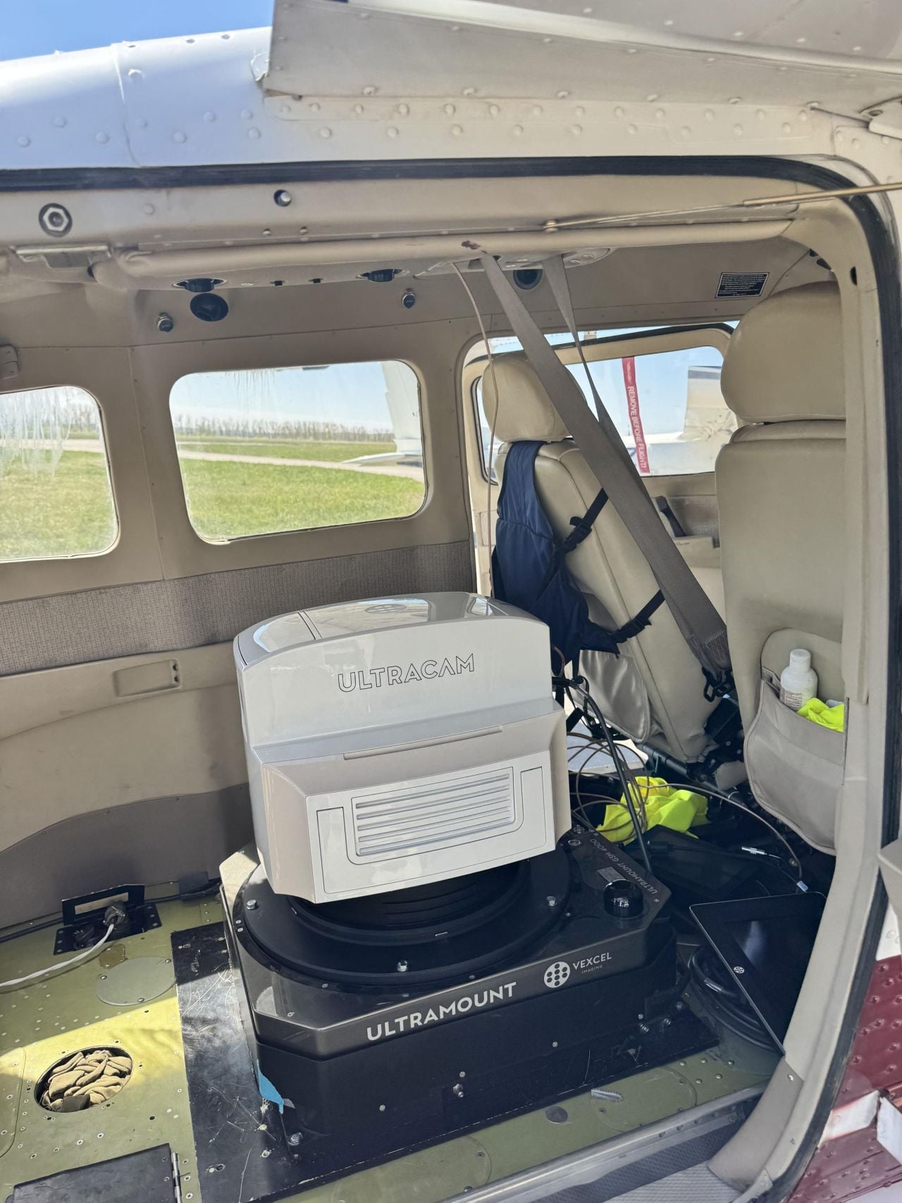
🔵 A New Era of Aerial Photography at GEOREAL: UltraCam Merlin 5.0 ✈️📷 Accurate spatial data is the absolute foundation of our work, which is why we are adding the cutting edge of technology to our fleet – the UltraCam Merlin 5.0 large-format camera from Vexcel Imaging. What does this mean in practice? ✅ Massive coverage and efficiency: The Merlin 5.0 captures an incredible 37 500 pixels across a flight line (19 000 x 37 500 px). Compared to the Eagle M3, this gives us nearly 60% more coverage per image! That means fewer flight lines and faster data delivery. ✅ Perfect detail: State-of-the-art optics and a "true nadir" design ensure sharp images without distortion for the most accurate orthophotos. ✅ TPP technology: It is not just about the hardware. Along with the camera we also use the new True Pixel Processing technology. This system automatically adjusts contrast and sharpness and reduces noise according to flight altitude and GSD, for natural images with realistic colours and no distracting artefacts. ✅ Ready for action: The camera has already been successfully installed on our aircraft and is carrying out its first live missions. In the gallery you will find the camera in action and a direct comparison of the image footprint with the Eagle M3. Want more technical details? Ask in the comments! 👇 #Georeal #UltraCam #VexcelImaging #AerialSurvey #Photogrammetry #GIS
View on LinkedIn
GEOREAL4 February 2026
🔵Web GIS solution for managing asset registers and municipal inventory. 💻🗺️
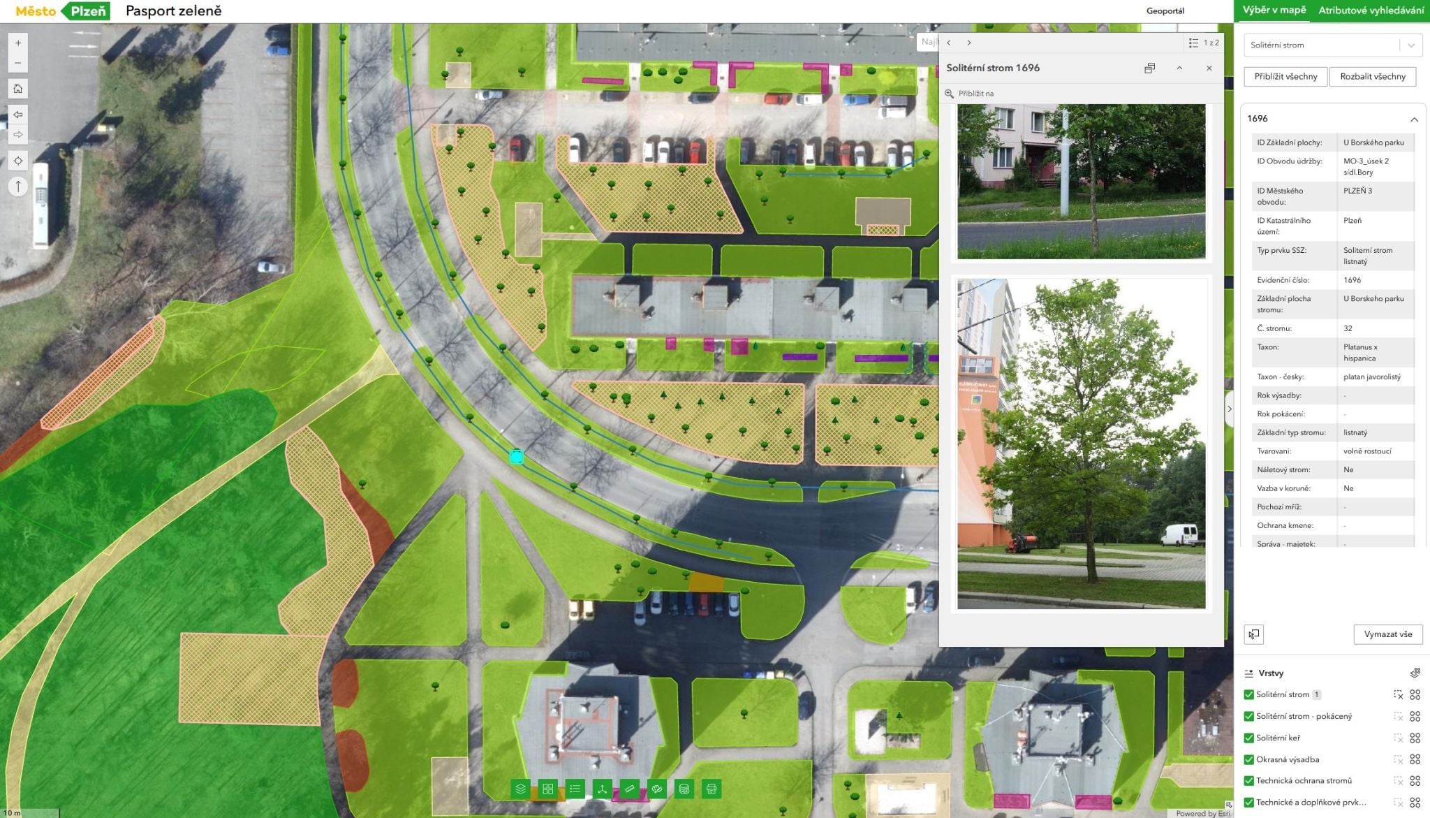
🔵Web GIS solution for managing asset registers and municipal inventory. 💻🗺️ Managing municipal assets in spreadsheets? That stopped being enough a long time ago. Here is how it can be done differently. For cities and municipalities we develop and operate comprehensive web-based asset management portals. In cooperation with specialists from the City of Plzeň we created a solution that shows what modern digital city management looks like. ✅ No installation: Thanks to the web interface, all users share up-to-date data without having to install specialised software. ✅ Live data: The data is not static. The system records changes of condition, maintenance and the history of interventions in real time. ✅ Comprehensive register: From benches and waste bins through greenery to utility networks. ✅ Transparency: Publicly accessible asset registers let citizens view the condition of municipal assets and report faults. Would you like to make asset management more efficient in your city too? We will be happy to demonstrate the system to you with no obligation. #Georeal #GIS #AssetManagement #AssetRegister #Plzen #Esri #ArcGIS
View on LinkedIn
GEOREAL27 January 2026
🔵 New Hangar Approved ✈️
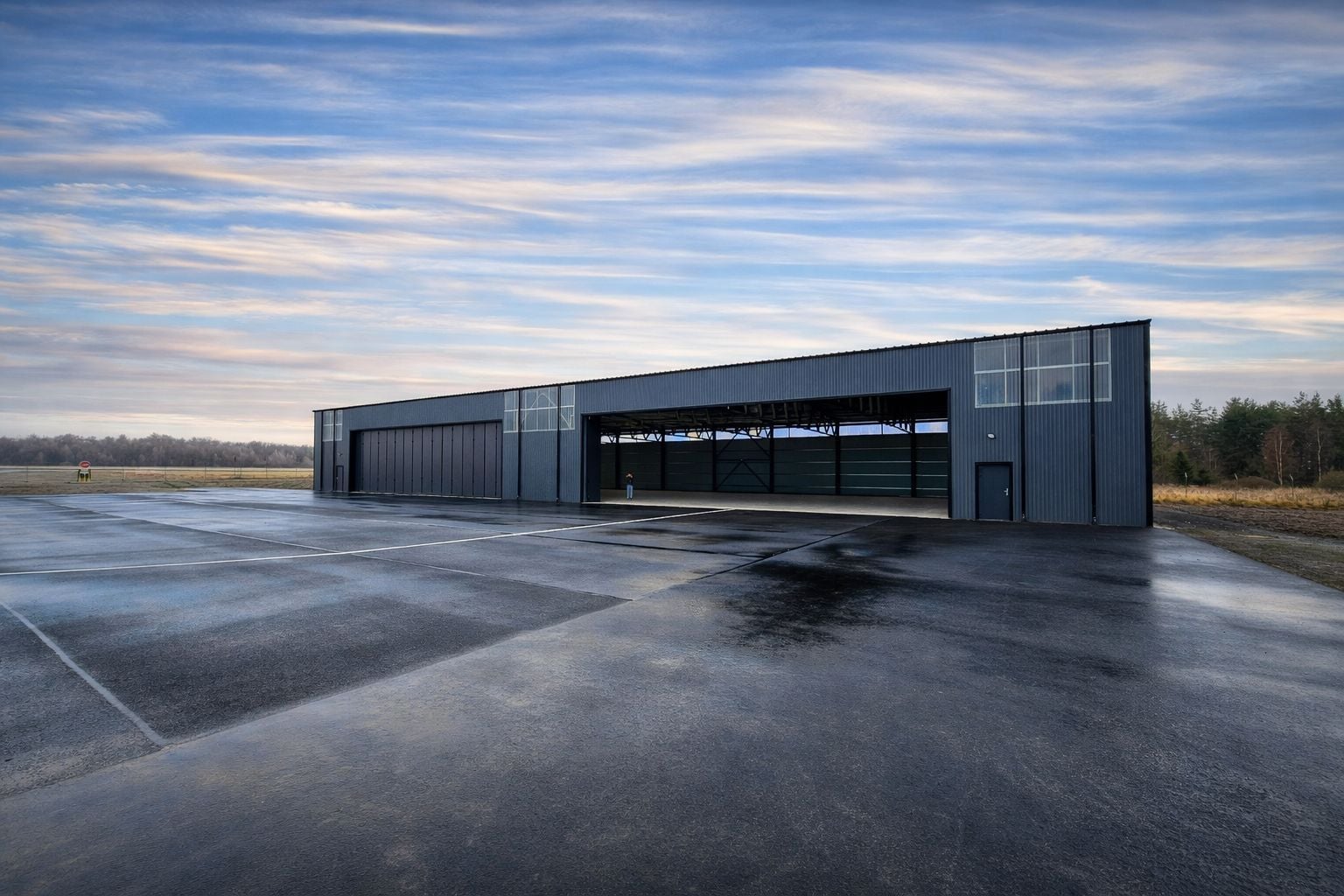
🔵 New Hangar Approved ✈️ In December 2025 we successfully completed our new hangar at Karlovy Vary Airport and received its final building approval. The project brings modern technical facilities for our aerial division, higher capacity and better operating conditions. For us it is also a significant milestone in building the company's infrastructure and a further step in developing our capabilities. Thank you to all the partners and colleagues who took part in the project. We value your trust and cooperation. #Georeal #Hangar #AerialPhotography #AerialSurvey
View on LinkedIn
GEOREAL6 January 2026
🔵 When precision meets nature. 📐
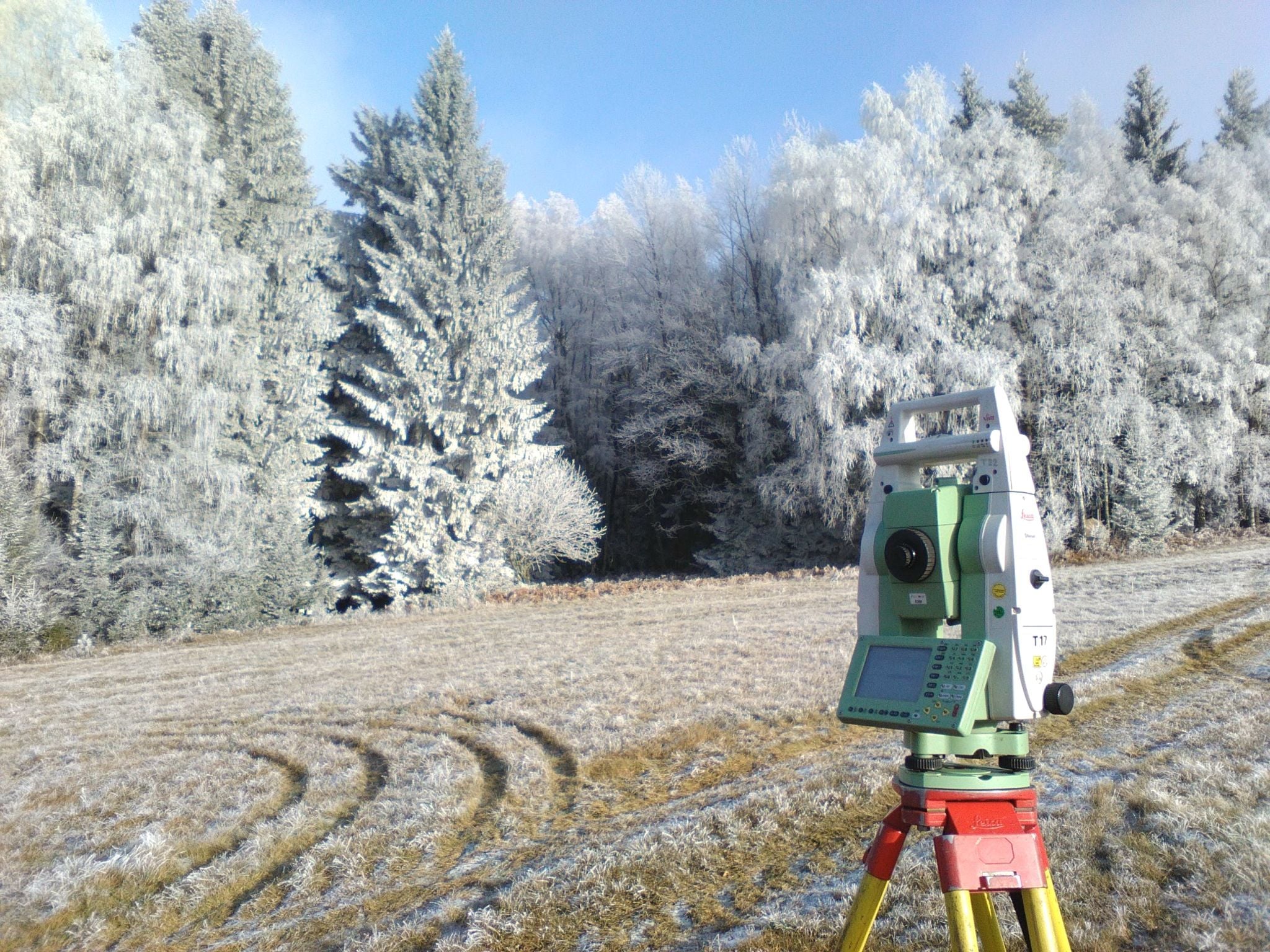
🔵 When precision meets nature. 📐 Surveying fieldwork has its charm in every season. Even on a frosty morning, when the landscape is quiet but the data still has to be right to the millimetre. ❄️ #Georeal #Surveying #CivilEngineering
View on LinkedIn
GEOREAL23 December 2025
🔵 Thank you for mapping the year 2025 with us. 🌍✨
🔵 Thank you for mapping the year 2025 with us. 🌍✨ It has been a year full of demanding projects and great cooperation. We appreciate the trust of all our partners and the dedication of our whole team. Now it is time to put work aside for a while and enjoy the moments that cannot be measured. We wish you a wonderful Christmas and a successful start to 2026!🎄 #Georeal #PF2026
View on LinkedIn
GEOREAL17 December 2025
🔵This is also what surveying looks like. 👷‍♂️📐
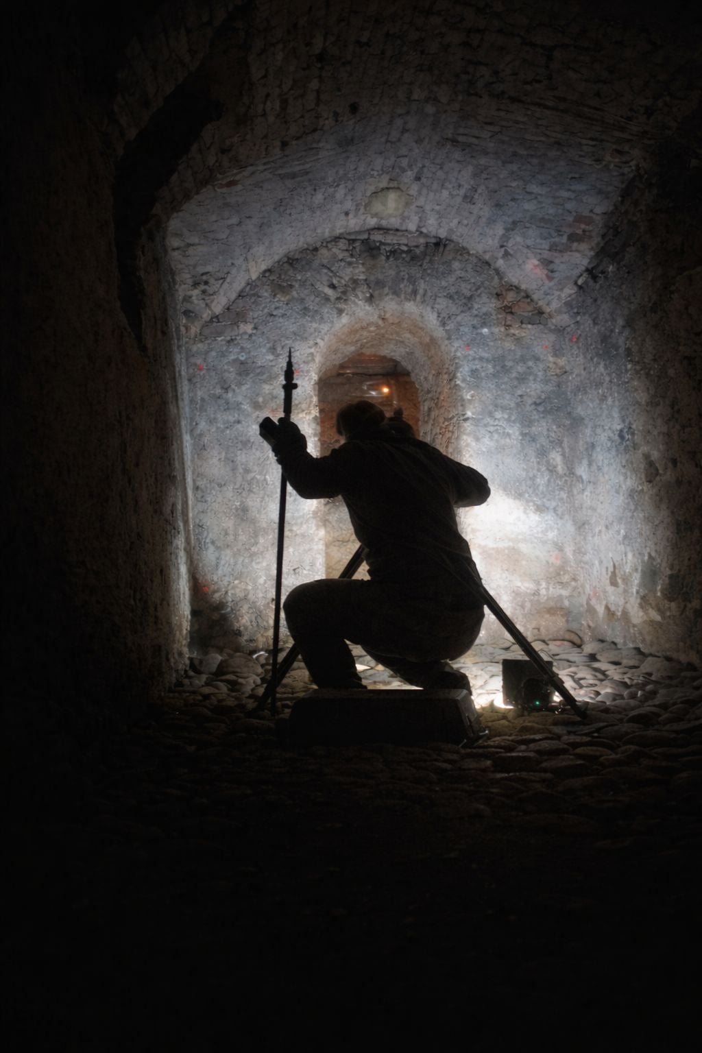
🔵This is also what surveying looks like. 👷‍♂️📐 Not everyone at GEOREAL sits at a computer. Part of our team spends its days in the field, and the sun is not always shining. Tunnels, dust and darkness – that is an environment where we collect data for your projects too. We have to keep the same precision everywhere, whatever the conditions. #Georeal #Surveying #CivilEngineering #UndergroundMapping
View on LinkedIn
GEOREAL9 December 2025
Mapping the world around us for over 30 years. 🌍
Mapping the world around us for over 30 years. 🌍 Since 1991, GEOREAL has grown into a team of 100+ specialists and become a leader in surveying and geoinformatics. We build the solid foundations that successful projects in the public and private sector stand on. In the Czech Republic and abroad. What can we help you with? 🔵 Large-scale spatial data acquisition and aerial photography 🔵 Mobile and static laser scanning and 3D models 🔵 GIS solutions: analyses, map portals and custom development 🔵 Engineering surveying, cadastre, mine surveying and setting out 🔵 Civil engineering design: transport, water management and land consolidation 💡 Stay in the picture. Follow our profile for glimpses from the field, technology news and expert insight into the world of geodata. #Surveying #GIS #Geoinformatics #Digitalisation #Georeal
View on LinkedIn